
Islands · Central Scotland
Inchfad
In or near Balmaha.
Inchfad — island in Loch Lomond, Scotland, United Kingdom.

Wikimedia Commons contributors — see linked file page for photographer and licence licence

Plan your visit
- Typical visit
- 4 h–12 h
- Nearest railway station
- Balloch · 9.1 km
- Free entry
- Dog-friendly
Getting there & planning your visit
To visit Inchfad in the Scottish Highlands, the nearest railway station is Balloch, located 9.1 km away. Entry to the island is free. The postcode for sat-nav is G63 0JS.
About
Inchfad is a island in the United Kingdom. Wikidata describes it as: "island in Loch Lomond, Scotland, United Kingdom". Coordinates: 56.0843°, -4.5727°.
Photo gallery
Summary from the official site
Inchfad is a privately-owned island located at the southeast end of Loch Lomond in the Stirling Council Area. The island is characterized by its woodland and rises to a height of 24 meters, covering an area of 43.6 hectares. Historically, it had a distillery and has a very small population.
Read more on the official property page.
From the Wikipedia article
Inchfad (Scottish Gaelic: Innis Fada, "long island") is an island in the south east of Loch Lomond in Scotland. Inchfad is 1.35 km (0.84 mi) long and 35 hectares in area. Its highest point is 25 metres. The island forms part of the parish of Buchanan in west central Scotland, formerly part of Stirlingshire and now under Stirling Council. Inchfad is partially wooded and has a single permanent resident as of 2022. There are four houses on Inchfad, a modernized bungalow which served as the original farmhouse and a wooden house used as a holiday home. The very small island of Ellanderroch is just off its south-western tip. There is a canal on the island which is 1⁄4 mile (400 metres) long, connected with the distillery.
Excerpt from Wikipedia under CC BY-SA 4.0. See the source article linked in Sources below.
Background
History
After the closure of illicit whisky stills around the loch, Inchfad became the home of a registered distillery. The ruins can be seen to this day. and their descendants run the boatyard at Balmaha nearby, as well as the island's mail service. Other owners have included the Dukes of Montrose, and Charles Collins, founder of the publishing dynasty. The island was bought in 1944 by an English couple called Davison, who set about restoring the farm to working condition. Everything was brought up by train from the Wirral, including livestock. After they succeeded, they sold the island, and set off in a converted fishing vessel, which was wrecked off Portland Bill drowning Frank Davison. His…
Sourced from Wikipedia under CC BY-SA 4.0.
- Coordinates
- 56.0843, -4.5727
- District
- Stirling
- Postcode
- G63 0JS
- Parliamentary constituency
- Stirling and Strathallan
- Nearest railway station
- Balloch — 9.1 km
- Official site
- www.scottish-places.info
Sources
- wikidata: Q47917 (CC0)
- wikipedia: Inchfad (CC BY-SA 4.0)
- commons: Woodland on Inchfad - geograph.org.uk - 1333153.jpg (CC BY-SA 4.0)
Other places nearby

Ellanderroch
Islands · 0.7 km

Farm
Historic houses · 0.9 km

Inchcailloch
Islands · 1.1 km

Inchcailloch,church & burial ground,Loch Lomond
Historic churches · 1.1 km

Inchcailloch Campsite
Campsites · 1.1 km
Church
Historic houses · 1.1 km
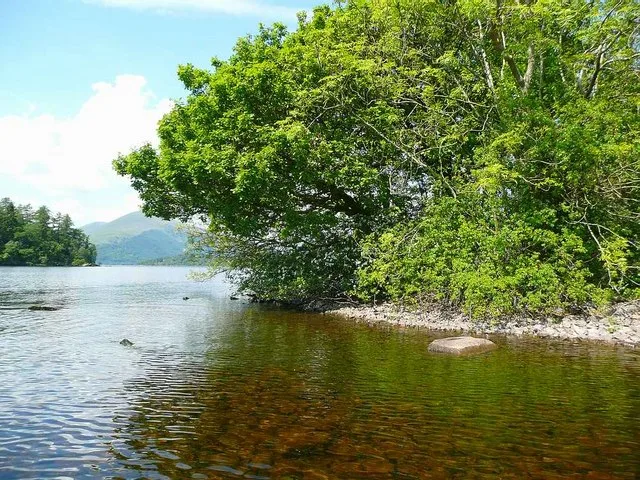
Ceardach
Islands · 1.3 km
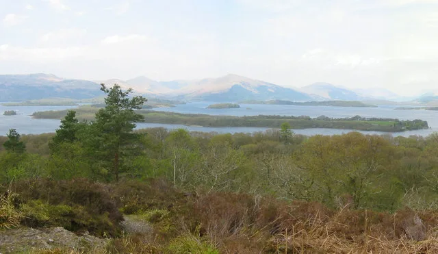
Loch Lomond National Nature Reserve
Wildlife reserves · 1.3 km

Inchcruin
Islands · 1.4 km
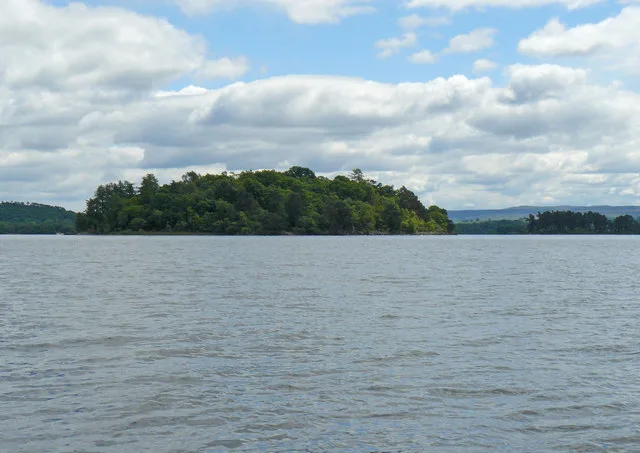
Bucinch
Islands · 1.5 km

Creag Mhor
Mountains & hills · 1.5 km

Torrinch
Islands · 1.5 km
Nearby
📷 3Islands · Central Scotland
Ellanderroch
Ellanderroch — island in Loch Lomond, Stirling, Scotland, UK.
📷 3Historic houses · Central Scotland
Farm
Farm — a historic house in scotland-highlands, United Kingdom.
📷 5Islands · Central Scotland
Inchcailloch
Inchcailloch — island in Loch Lomond, Stirling, Scotland, UK.
📷 5Historic churches · Central Scotland
Inchcailloch,church & burial ground,Loch Lomond
Inchcailloch,church & burial ground,Loch Lomond — scheduled monument-listed church in scotland-highlands, United Kingdom.
📷 5Campsites · Central Scotland
Inchcailloch Campsite
Inchcailloch Campsite — a campsite in scotland highlands.
📷 3Historic houses · Central Scotland
Church
Church — a historic house in scotland-highlands, United Kingdom.
Where to eat & stay near Inchfad
Places to stay
📷 5Campsites · Central Scotland
Inchcailloch Campsite
Inchcailloch Campsite — a campsite in scotland highlands.
 📷 5
📷 5Caravan parks · Central Scotland
Milarrochy Bay Camping And Caravanning Club Site
Milarrochy Bay Camping And Caravanning Club Site — a caravan park in scotland highlands.
 📷 5
📷 5Hostels · Central Scotland
Arrochoile B&B
Arrochoile B&B — a hostel in scotland highlands.
 📷 5
📷 5Campsites · Central Scotland
Wild Camp (3 Tents)
Wild Camp (3 Tents) — a campsite in scotland highlands.
 📷 5
📷 5Campsites · Central Scotland
Cashel Camping & Caravan Park Forest Holidays
Cashel Camping & Caravan Park Forest Holidays — a campsite in scotland highlands.
 📷 5
📷 5Caravan parks · Central Scotland
Lagganbeg Caravan Park
Lagganbeg Caravan Park — a caravan park in scotland highlands.
Places to eat & drink
 📷 7📷 5
Historic pubs · Central Scotland
Central Bar, 127 Main Street, Renton
Central Bar, 127 Main Street, Renton in Scotland Central, United Kingdom.
 📷 7
📷 7Historic pubs · Central Scotland
Ardencaple Hotel Including Former Stables, Rhu Road Lower, Rhu
Ardencaple Hotel Including Former Stables, Rhu Road Lower, Rhu in Scotland Central, United Kingdom.
 📷 5
📷 5Historic pubs · Central Scotland
The James Watt
The James Watt in Scotland Central, United Kingdom.
 📷 5
📷 5Historic pubs · Central Scotland
Fox and Hounds Inn, South Street, Houston
Fox and Hounds Inn, South Street, Houston in Scotland Central, United Kingdom.
More places in this region
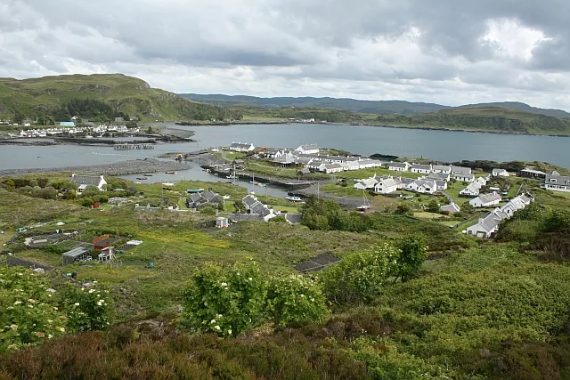 Flagship📷 5
Islands · Central Scotland
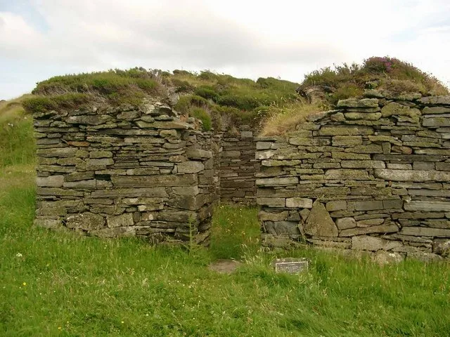
Easdale
Easdale — one of the Slate Islands, in the Firth of Lorn, Scotland.
 Flagship📷 5
Islands · Central Scotland
Eileach an Naoimh
Eileach an Naoimh — uninhabited island, Garvellachs, Scotland.
 Flagship📷 3
Islands · Central Scotland
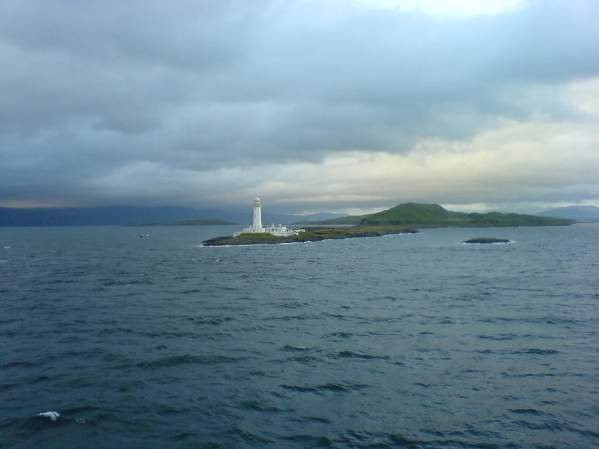
Eilean Musdile
Eilean Musdile — an islet to the south west of Lismore in the Inner Hebrides.
 📷 5
📷 5Islands · Central Scotland
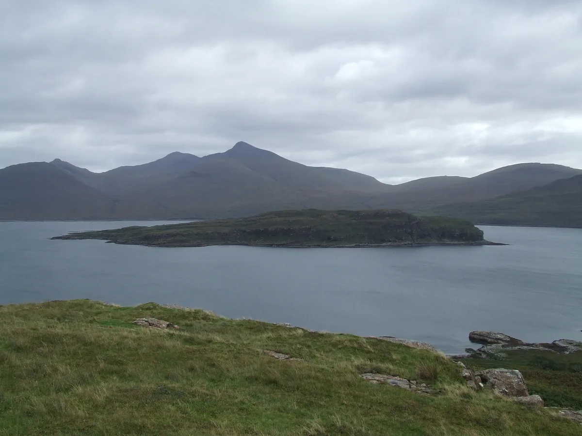
Eorsa
Eorsa — island. Off the coast of Mull, Scotland, in United Kingdom.
Frequently asked questions
- Where is Inchfad?
- Inchfad is in central Scotland, United Kingdom (postcode G63 0JS).
- What is Inchfad?
- Inchfad — island in Loch Lomond, Scotland, United Kingdom.
- How do I get to Inchfad?
- The nearest railway station is Balloch, about 9.1 km away. The nearest town is Balmaha. Drivers can use postcode G63 0JS.
- Is Inchfad free to visit?
- Yes, Inchfad is free to enter.
- How do I get to Inchfad?
- Drivers can navigate to postcode G63 0JS. It sits within the Stirling and Strathallan parliamentary constituency.