
Beaches · South East England
Hurst Beach
In or near Boldre.
Hurst Beach — Beach (pebblestone).

Wikimedia Commons contributors — see linked file page for photographer and licence licence

Plan your visit
- Typical visit
- 1 h–3 h
- Best time of year
- Summer (Jun–Aug)
- Nearest railway station
- Lymington Pier · 5.8 km
- Free entry
- Family-friendly
- Dog-friendly
Getting there & planning your visit
To visit Hurst Beach, the nearest railway station is Lymington Pier, which is 5.8 km away. The postcode for sat-nav is SO41 0TQ. Entry to the beach is free.
About
Hurst Beach is a named beach on the United Kingdom coastline. Wikidata describes it as: "Beach (pebblestone).". Coordinates: 50.7112°, -1.5660°.
Photo gallery
360° view
Imagery © Mapillary contributors, CC BY-SA 4.0
Protected designations
- Site of Special Scientific Interest: Hurst Castle and Lymington River Estuary SSSI
- Area of Outstanding Natural Beauty: Isle Of Wight
- Ramsar wetland: Solent & Southampton Water
Designations sourced from Natural England open data under OGL v3.
From the Wikipedia article
Hurst Spit is a one-mile-long (1.6 km) shingle bank near the village of Keyhaven, at the western end of the Solent, on the south coast of England. The spit shelters an area of saltmarsh and mudflats known as Keyhaven and Pennington marshes. At the end of the spit is Hurst Castle, an artillery fortress originally built on the orders of King Henry VIII, and much enlarged in the 19th century. Hurst Point Lighthouse was built on the end of Hurst Spit in the 1860s.
Excerpt from Wikipedia under CC BY-SA 4.0. See the source article linked in Sources below.
Background
History
The name "hurst" is thought to be a Middle English dialect word meaning "sandbank", which is derived from Old English "hyrst" indicating a hillock or eminence. Little is known about Hurst before the castle was built, although it seems to be mentioned in a document dated 1434 which refers to a wreck off "Hurst".
Sourced from Wikipedia under CC BY-SA 4.0.
- Coordinates
- 50.7112, -1.5660
- County
- Hampshire
- District
- New Forest
- Parish
- Milford-on-sea
- Postcode
- SO41 0TQ
- Parliamentary constituency
- New Forest West
- Nearest railway station
- Lymington Pier — 5.8 km
Sources
- osm: w238186863 (ODbL)
- wikipedia: Hurst Spit (CC BY-SA 4.0)
- commons: The Shingle Spit at Hurst Beach - geograph.org.uk - 178625.jpg (CC BY-SA 4.0)
Other places nearby

Hurst Castle Garrison Theatre
Open-air theatres · 1.0 km
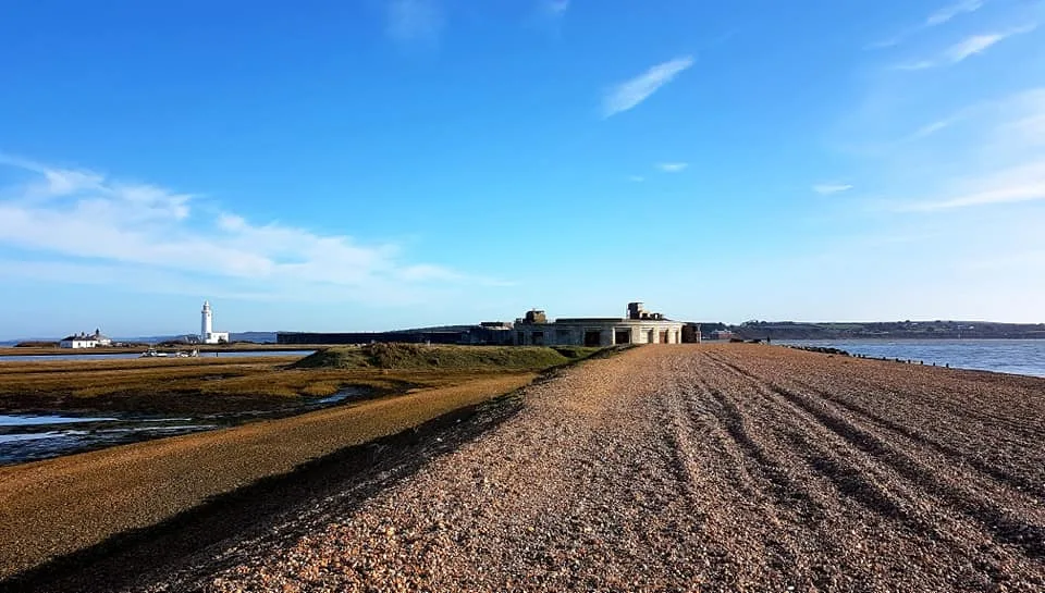
Hurst Castle and lighthouse
Museums · 1.1 km

Hurst Castle
Castles · 1.1 km
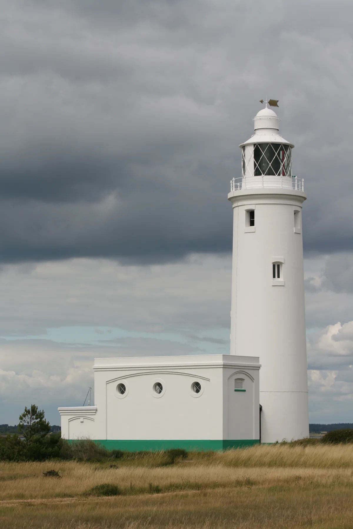
Hurst Point Lighthouse
Lighthouses · 1.2 km

Hurst Castle
Castles · 1.2 km
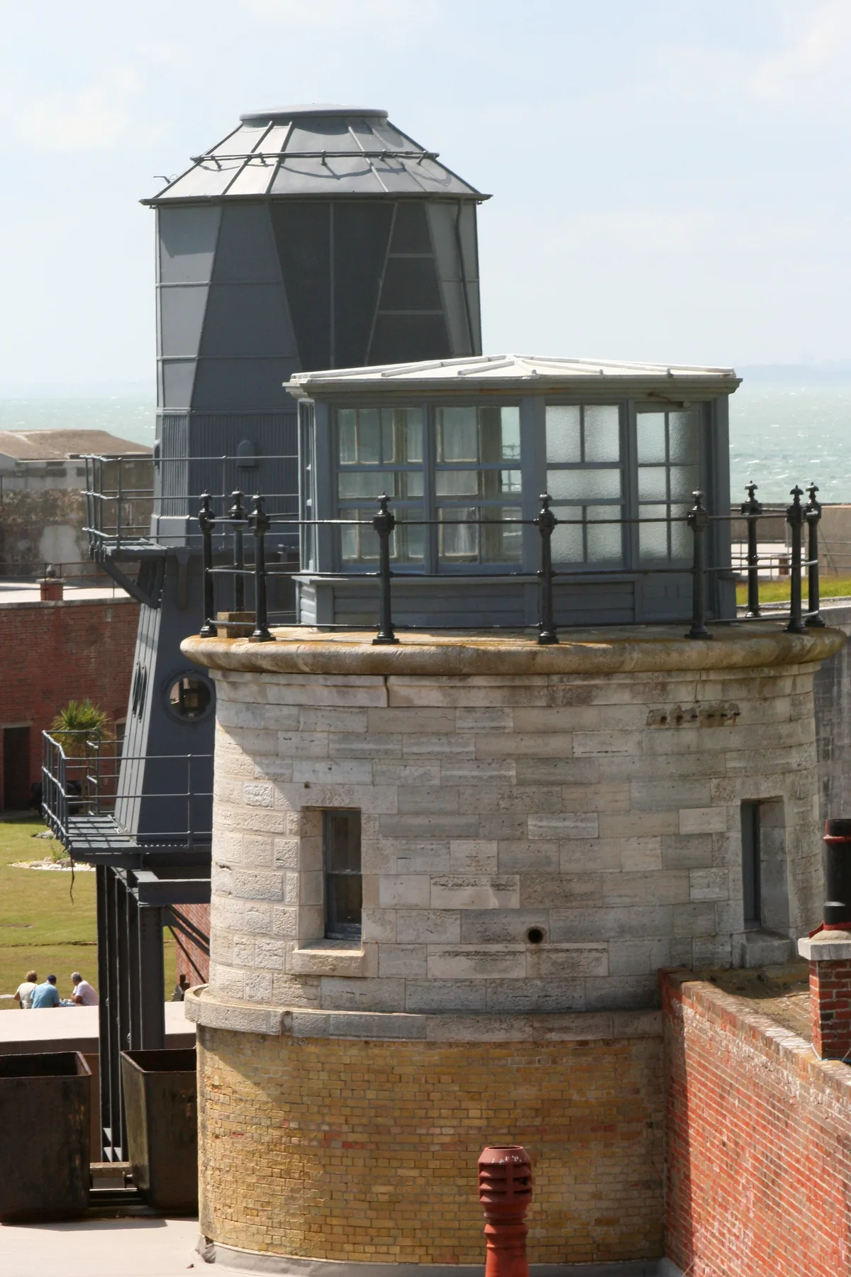
Hurst Castle Low Lighthouses
Lighthouses · 1.3 km

New forest paddle sport
Forests & woodlands · 2.3 km

Milford on Sea
Museums · 2.3 km

The Beach House
Historic pubs · 2.6 km

Solent Way
Military museums · 2.8 km

Solent View
Campsites · 2.8 km

Hurst View
Caravan parks · 2.9 km
Nearby
📷 5Open-air theatres · South East England
Hurst Castle Garrison Theatre
former garrison theatre in Milford-on-Sea, England, now part of a heritage exhibition
📷 5Museums · South East England
Hurst Castle and lighthouse
Hurst Castle and lighthouse — buildings in Milford on Sea, Hampshire, England, UK.
📷 5Castles · South East England
Hurst Castle
Hurst Castle — castle in england south east.
📷 5Lighthouses · South East England
Hurst Point Lighthouse
Hurst Point Lighthouse — lighthouse on the Solent, in Hampshire, England, UK.
📷 5Castles · South East England
Hurst Castle
Hurst Castle is an artillery fort established by Henry VIII on the Hurst Spit in Hampshire, England, between 1541 and 1544. It formed part of the king's Device Forts coastal protection programme again
📷 5Lighthouses · South East England
Hurst Castle Low Lighthouses
Hurst Castle Low Lighthouses is a lighthouse in the United Kingdom.
Where to eat & stay near Hurst Beach
Places to stay
📷 5📷 5 📷 5
📷 5Campsites · South East England
Muddy Creek Farm
Muddy Creek Farm — a campsite in england south east.
📷 5Caravan parks · South East England
Lytton Lawn Touring Park
Lytton Lawn Touring Park — a caravan park in england south east.
 📷 5
📷 5Campsites · South East England
Heathfield Farm Camp Site
Heathfield Farm Camp Site — a campsite in england south east.
 📷 7
📷 7Places to eat & drink
📷 5Historic pubs · South East England
The Beach House
The Beach House in England South East, United Kingdom.
 📷 7
📷 7 📷 7
📷 7 📷 7
📷 7Historic pubs · South East England
Walhampton Arms, formerly farm building range at Home Farm
Walhampton Arms, formerly farm building range at Home Farm in England South East, United Kingdom.
 📷 5
📷 5Historic pubs · South East England
Forest Heath Hotel
Forest Heath Hotel in England South West, United Kingdom.
 📷 7
📷 7Historic pubs · South East England
The Hobler Public House
The Hobler Public House in England South East, United Kingdom.
More beaches in this region
 📷 5
📷 5Beaches · South East England
Abbot's Cliff Beach
Abbot's Cliff Beach is a beach in the United Kingdom.
 📷 5
📷 5Beaches · South East England
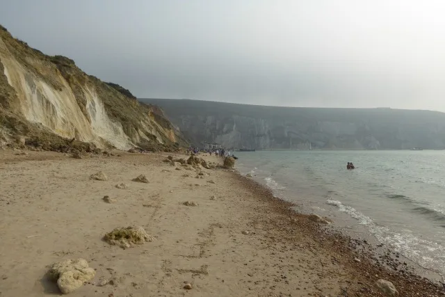
Allhallows Beach
Allhallows Beach is a beach in the United Kingdom.
 📷 5
📷 5 📷 5
📷 5Frequently asked questions
- Where is Hurst Beach?
- Hurst Beach is in Hampshire, South-East England, United Kingdom (postcode SO41 0TQ), in the parish of Milford-on-sea.
- What is Hurst Beach?
- Hurst Beach — Beach (pebblestone).
- How do I get to Hurst Beach?
- The nearest railway station is Lymington Pier, about 5.8 km away. Drivers can use postcode SO41 0TQ.
- Is Hurst Beach a protected site?
- Yes — Hurst Beach is part of the Hurst Castle and Lymington River Estuary SSSI Site of Special Scientific Interest and the Isle Of Wight National Landscape (AONB).
- Is Hurst Beach free to visit?
- Yes, Hurst Beach is free to enter.
- How do I get to Hurst Beach?
- The nearest railway station is Lymington Pier, about 5.8 km away. Drivers can navigate to postcode SO41 0TQ.