
Windmills · East of England
Hunsett Mill
In or near Barton Turf.
Hunsett Mill is a windmill in the United Kingdom.

Wikimedia Commons contributors — see linked file page for photographer and licence licence

Plan your visit
- Typical visit
- 30 min–1 h
- Nearest railway station
- Worstead · 6.8 km
- Free entry
- Family-friendly
- Dog-friendly
About
Hunsett Mill is a named windmill in the United Kingdom. Coordinates: 52.7613°, 1.5018°. This entry is part of The Great Britain Guide, a free, ad-free, open-data tourist directory.
Photo gallery
Protected designations
- Site of Special Scientific Interest: Ant Broads and Marshes SSSI
- National Nature Reserve: ANT BROADS AND MARSHES
- Area of Outstanding Natural Beauty: Norfolk Coast
- Ramsar wetland: Broadland
Designations sourced from Natural England open data under OGL v3.
From the Wikipedia article
Hunsett Mill is located on the east bank of the River Ant one mile north of Barton Broad in the English county of Norfolk. The Windmill is 1.2 miles south west of the town of Stalham. The mill structure is a grade II listed building.
Excerpt from Wikipedia under CC BY-SA 4.0. See the source article linked in Sources below.
Background
History
The site has probably been occupied by pumping structures for several centuries, but all existing structures on site date from 1860 or later. Embedded in the stonework of the Mill is a Datestone inscribed HUNSETT 1698 which is presumed to be originating from an earlier mill on the site. The historic mill and the mill keepers house were used for water pumping functions until approximately 1910. Since then the mill has not been used and the internals except for the cap were gutted in the 1950s/ 60s. The Hunsett Mill house has been used over the last decades as a stand-alone primary residence and holiday home. Major damage was caused to the sails of the windmill in the Great storm of 1987,…
Description
The Windmill was built in 1860 and is constructed of red bricks. The mill has a White boat shaped cap sails and a fantail. The windpump once ran two scoop wheels. The tower had four patent sails. The mill is approximately 12 m high, and has been visually retained in its original historic condition, even though internal works to the mill in the 1960s have removed all mill equipment previously installed in the brick structure. The mill is part of the large historic pumping mill system characteristic to the Broads, and is Grade II listed. (List of drainage windmills in Norfolk) The house adjacent to the mill has originally been built around the same time as the mill, but to less good standards…
Sourced from Wikipedia under CC BY-SA 4.0.
- Coordinates
- 52.7613, 1.5018
- County
- Norfolk
- District
- North Norfolk
- Parish
- Stalham
- Postcode
- NR12 9EL
- Parliamentary constituency
- North Norfolk
- Established
- 1860
- Nearest railway station
- Worstead — 6.8 km
Sources
- osm: n324635771 (ODbL)
- wikipedia: Hunsett Mill (CC BY-SA 4.0)
- commons: Hunsett Mill and reflections.jpg (CC BY-SA 4.0)
Other places nearby

Stalham
Museums · 1.2 km
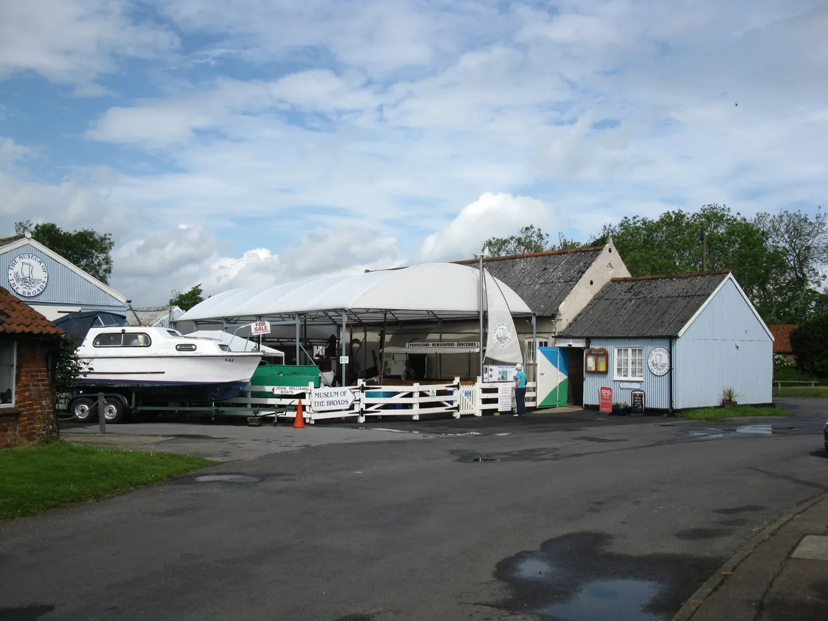
Museum of the Broads
Museums · 1.2 km

Stalham Welcomes You Village Sign
Public art & sculpture · 1.4 km

Stalham Village Sign
Public art & sculpture · 1.6 km

Weavers' Way
Military museums · 1.8 km

Broadlands Cinema
Theatres · 1.8 km

Barton Turf Village Sign
Public art & sculpture · 1.8 km
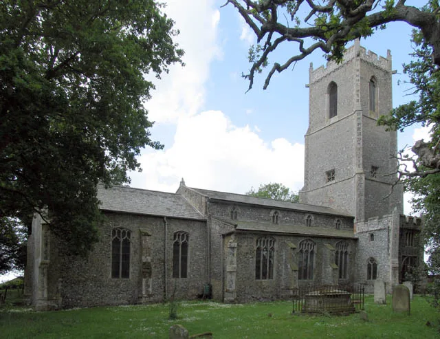
Barton Turf
Towns & cities · 1.9 km

The Green Stalham Village Sign
Public art & sculpture · 2.0 km

Sutton Village Sign
Public art & sculpture · 2.1 km

Sutton
Villages · 2.4 km
Bush House Farm
Caravan parks · 2.5 km
Nearby
📷 5📷 3Museums · East of England
Museum of the Broads
Museum of the Broads — museum in England, United Kingdom.
📷 3Public art & sculpture · East of England
Stalham Welcomes You Village Sign
Stalham Welcomes You Village Sign — a public art in england-east-midlands, United Kingdom.
📷 3Public art & sculpture · East of England
Stalham Village Sign
Stalham Village Sign — a public art in england-east-midlands, United Kingdom.
📷 5Military museums · East of England
Weavers' Way
Weavers' Way — a military museum in england east midlands.
📷 3Where to eat & stay near Hunsett Mill
Places to stay
📷 5Caravan parks · East of England
Bush House Farm
Bush House Farm — a caravan park in england east midlands.
 📷 5
📷 5Caravan parks · East of England
Heath Barn Certificated Location
Heath Barn Certificated Location — a caravan park in england east midlands.
 📷 5
📷 5Campsites · East of England
Street Hill Camping
Street Hill Camping — a campsite in england east midlands.
 📷 5
📷 5Caravan parks · East of England
Heather House Farm
Heather House Farm — a caravan park in england east midlands.
📷 5Campsites · East of England
Hickling Campsite
Hickling Campsite — a campsite in england east midlands.
 📷 5
📷 5Places to eat & drink
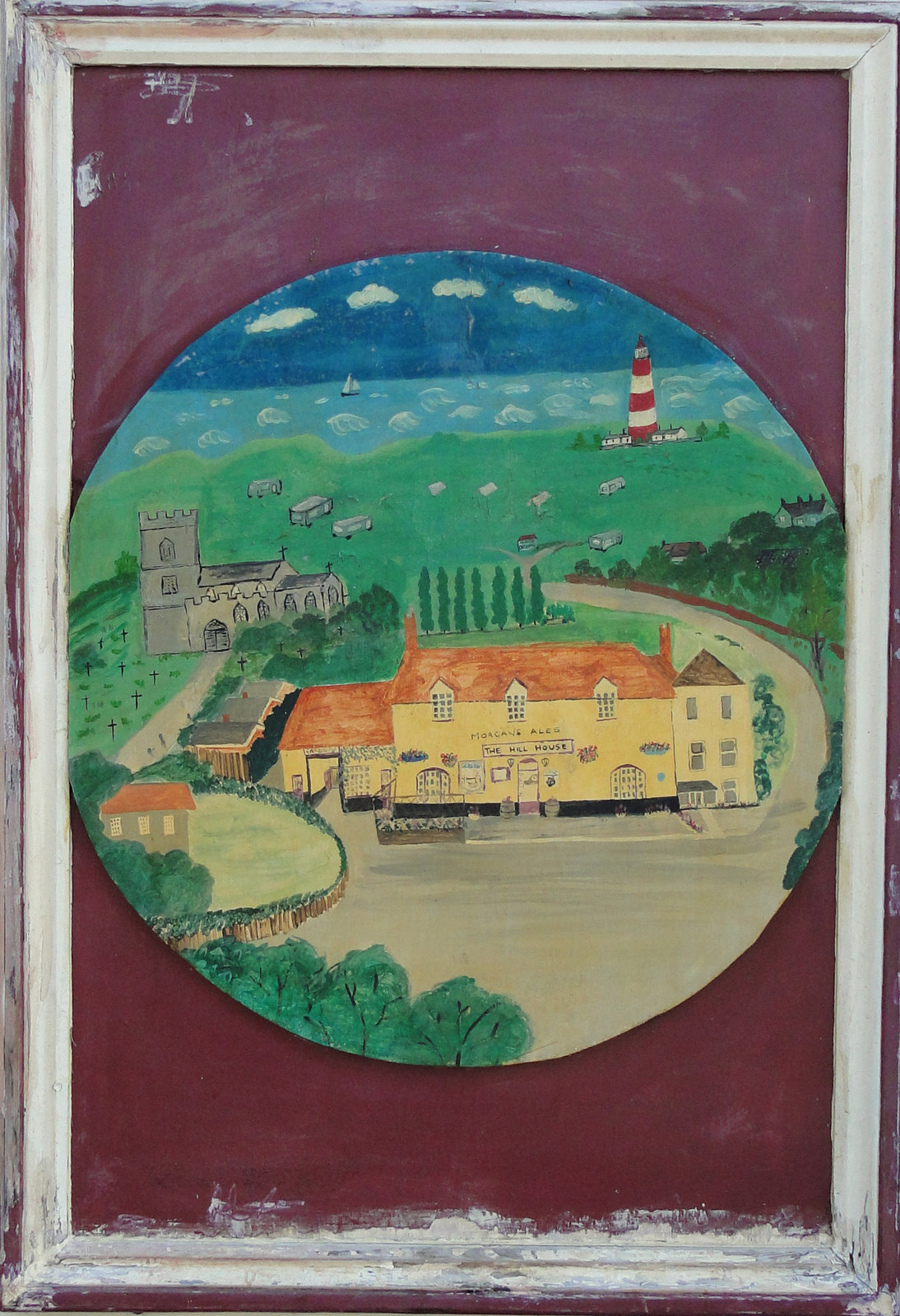 📷 5
📷 5 📷 5
📷 5Historic pubs · East of England
The White Swan
The White Swan in England East, United Kingdom.
 📷 7
📷 7Historic pubs · East of England
Recruiting Sergeant Inn
Recruiting Sergeant Inn in England East, United Kingdom.
 📷 5
📷 5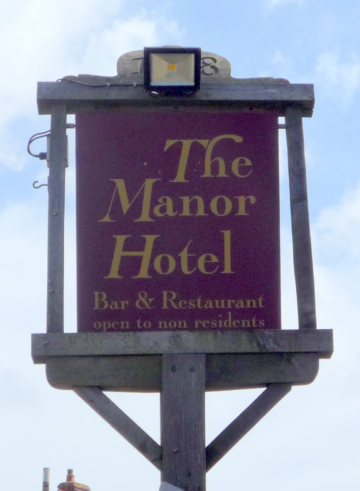 📷 5
📷 5Historic pubs · East of England
Manor Hotel, Mundesley
Manor Hotel, Mundesley in England East, United Kingdom.
 📷 5
📷 5Historic pubs · East of England
Vernon Arms
Vernon Arms in England East, United Kingdom.
More windmills in this region
 📷 5
📷 5Windmills · East of England
Baker Street Mill
Baker Street Mill is a windmill in the United Kingdom.
 📷 5
📷 5 📷 5
📷 5 📷 5
📷 5Frequently asked questions
- Where is Hunsett Mill?
- Hunsett Mill is in Norfolk, East of England, United Kingdom (postcode NR12 9EL), in the parish of Stalham.
- What is Hunsett Mill?
- Hunsett Mill is a windmill in the United Kingdom.
- How do I get to Hunsett Mill?
- The nearest railway station is Worstead, about 6.8 km away. The nearest town is Barton Turf. Drivers can use postcode NR12 9EL.
- When was Hunsett Mill built?
- Built or established in 1860.
- Who owns Hunsett Mill?
- Hunsett Mill is owned by | built = 1860.
- Is Hunsett Mill a protected site?
- Yes — Hunsett Mill is part of the Ant Broads and Marshes SSSI Site of Special Scientific Interest and the ANT BROADS AND MARSHES National Nature Reserve.
- Is Hunsett Mill free to visit?
- Yes, Hunsett Mill is free to enter.
- How do I get to Hunsett Mill?
- The nearest railway station is Worstead, about 6.8 km away. Drivers can navigate to postcode NR12 9EL.