
Museums · East Midlands
Hunsbury Hill
In or near Milton Malsor.
Hunsbury Hill is an Iron Age hill fort two miles (3 km) south-west of the centre of the town of Northampton in the county of Northamptonshire. It is also known as Danes Camp. It is probable that defen

Chris — CC BY-SA 2.0 via Wikimedia Commons licence

Plan your visit
- Typical visit
- 1.5 h–3 h
- Best time of year
- Year-round
- Nearest railway station
- Northampton · 2.2 km
- Family-friendly
- Limited wheelchair access
Getting there & planning your visit
To visit Hunsbury Hill, the nearest railway station is Northampton, located 2.2 km away. The postcode for sat-nav is NN4 9RT. Entry is free, but please note that accessibility is limited for wheelchair users.
About
Hunsbury Hill is an Iron Age hill fort two miles (3 km) south-west of the centre of the town of Northampton in the county of Northamptonshire. It is also known as Danes Camp. It is probable that defences were built at Hunsbury Hill between the 7th and 4th centuries BC. The deep ditch excavated has survived to the present day. A wooden rampart was also constructed; there is evidence that Hunsbury hill fort's inner ramparts were burned down and vitrified; this is rare in England. Ironstone extraction began at the hill fort in about 1883, after an attempt to have the site protected under the Ancient Monuments Act of 1882 failed due to the cost of compensating the landowner. Many of the fort's internal features were destroyed, but the work revealed up to 300 pits which, according to the curator of Northampton Museum in 1887, contained "numerous artefacts that now comprise one of the finest collections ... of Prehistoric antiquities in England". The finds included iron weapons and tools, bronze brooches, pottery, glass and around 159 quern-stones. All were given to the town's museum. Hunsbury Hill fort is a designated Scheduled Monument. Parts of the fort's banks have been badly eroded because of the 19th-century quarrying, the effects of burrowing rabbits and damage from tree roots. It is now managed as a park by West Northamptonshire Council. Part of the route of the railway built for the quarrying remains and beginning in 1975 has been modified for use by the Northamptonshire I
Photo gallery
From the Wikipedia article
Hunsbury Hill is an Iron Age hill fort two miles (3 km) south-west of the centre of the town of Northampton in the county of Northamptonshire. It is also known as Danes Camp. It is probable that defences were built at Hunsbury Hill between the 7th and 4th centuries BC. The deep ditch excavated has survived to the present day. A wooden rampart was also constructed; there is evidence that Hunsbury hill fort's inner ramparts were burned down and vitrified; this is rare in England. Ironstone extraction began at the hill fort in about 1883, after an attempt to have the site protected under the Ancient Monuments Act of 1882 failed due to the cost of compensating the landowner. Many of the fort's internal features were destroyed, but the work revealed up to 300 pits which, according to the curator of Northampton Museum in 1887, contained "numerous artefacts that now comprise one of the finest collections ... of Prehistoric antiquities in England". The finds included iron weapons and tools, bronze brooches, pottery, glass and around 159 quern-stones. All were given to the town's museum. Hunsbury Hill fort is a designated Scheduled Monument. Parts of the fort's banks have been badly eroded because of the 19th-century quarrying, the effects of burrowing rabbits and damage from tree roots. It is now managed as a park by West Northamptonshire Council. Part of the route of the railway built for the quarrying remains and beginning in 1975 has been modified for use by the Northamptonshire Ironstone Railway Trust who added a new line. The track is used and maintained by the Trust. As the use of the quarries finished by 1920 the original metre gauge (3 ft 33⁄8 in) track was not used. The Trust laid a mixture of standard gauge, metre gauge and 2 ft (610 mm) track but from 1982 only standard gauge track has been used.
The area around the hill consists of the large Northampton housing developments, East Hunsbury, Camp Hill and West Hunsbury.
Excerpt from Wikipedia under CC BY-SA 4.0. See the source article linked in Sources below.
- Coordinates
- 52.2189, -0.9202
- District
- West Northamptonshire
- Parish
- West Hunsbury
- Postcode
- NN4 9RT
- Parliamentary constituency
- Northampton South
- Nearest railway station
- Northampton — 2.2 km
- Official site
- www.westnorthants.gov.uk
Sources
- wikipedia: Hunsbury Hill (CC BY-SA 4.0)
Other places nearby

Hunsbury Hill
Vineyards · 0.1 km
Wootton Old Top
Mountains & hills · 0.2 km

Northamptonshire Ironstone Railway Trust
Museums · 0.4 km

Eleanor Cross, Hardingstone
Historic houses · 1.6 km

Queen Eleanor Cross
Memorials & monuments · 1.6 km

Wootton Brook
Museums · 1.6 km
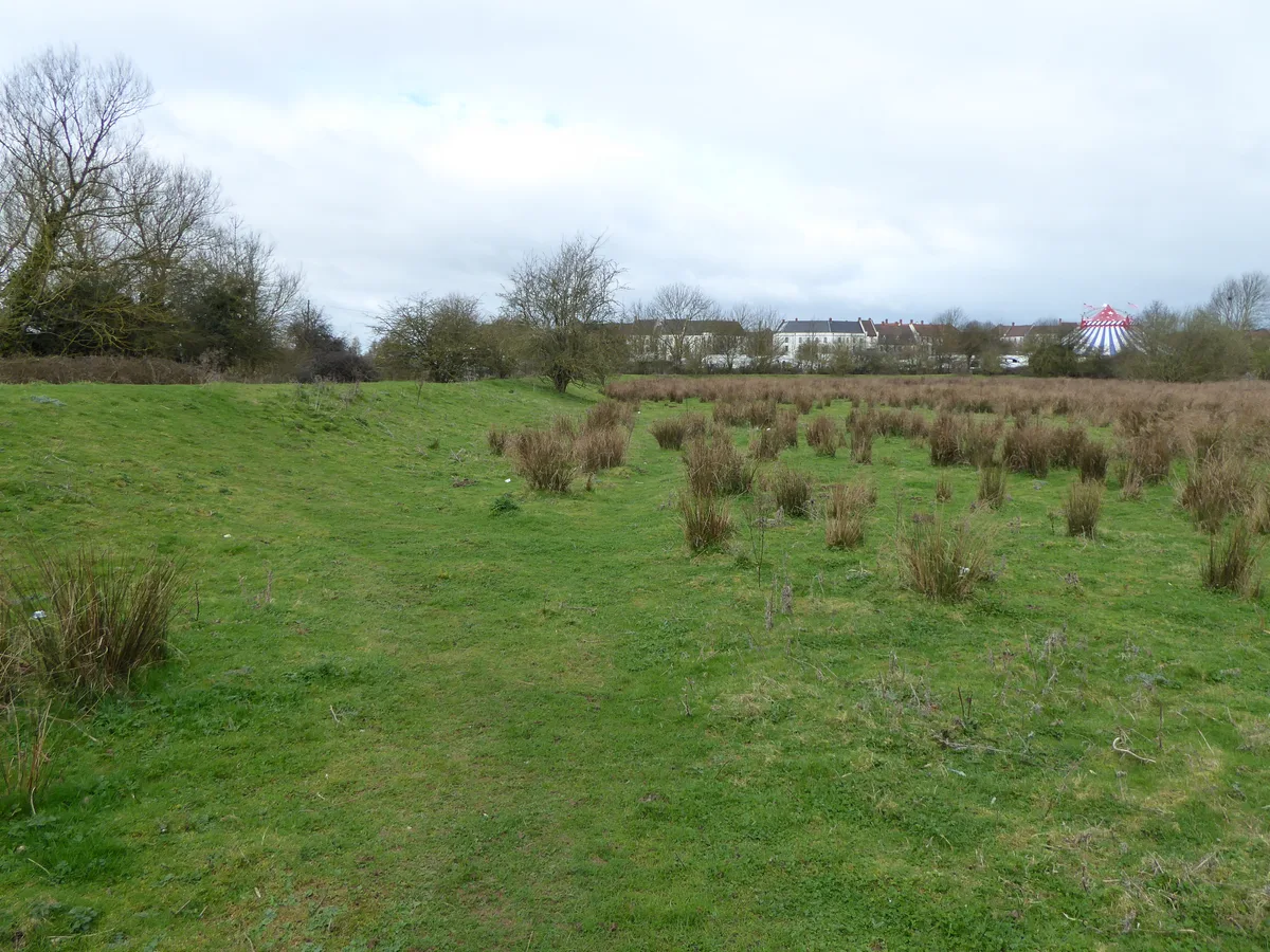
Duston Mill Meadow
Wildlife reserves · 1.6 km

Dallington
Villages · 1.6 km

Siri Guru Singh Sabha Northampton
Historic churches · 1.6 km

Storton's Pits
Forests & woodlands · 1.7 km
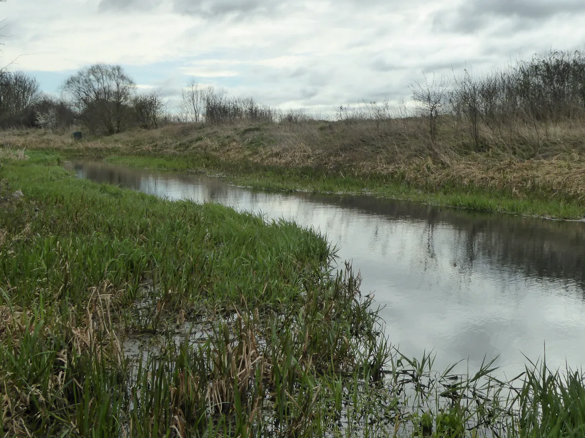
Storton's Pits
Wildlife reserves · 1.7 km

Upton Mill House And Mill And Attached Bridge
Historic bridges · 1.9 km
Nearby
📷 5Vineyards · East Midlands
Hunsbury Hill
Hunsbury Hill — a UK vineyard in england west midlands, producing English or Welsh wine from cool-climate grape varieties.
📷 5Mountains & hills · East Midlands
Wootton Old Top
Wootton Old Top — mountain in england west midlands. Elevation: 110 m.
📷 5Museums · East Midlands
Northamptonshire Ironstone Railway Trust
Northamptonshire Ironstone Railway Trust — a museum in england-west-midlands, United Kingdom.
📷 3Historic houses · East Midlands
Eleanor Cross, Hardingstone
Eleanor Cross, Hardingstone — a Grade I-listed historic house in england-west-midlands, United Kingdom.
📷 3Memorials & monuments · East Midlands
Queen Eleanor Cross
Queen Eleanor Cross is a memorial in the United Kingdom.
📷 5Museums · East Midlands
Wootton Brook
Wootton Brook — a museum in england-west-midlands, United Kingdom.
Where to eat & stay near Hunsbury Hill
Places to stay
 📷 5
📷 5 📷 5
📷 5Caravan parks · South East England
Gayton Marina Caravan Park
Gayton Marina Caravan Park — a caravan park in england west midlands.
 📷 5
📷 5Hotels · South East England
Hilton Northampton
Hilton Northampton — a hotel in england west midlands. 4-star. Brand: Hilton Hotels & Resorts.
 📷 5
📷 5Caravan parks · South East England
The Limes Caravan Park
The Limes Caravan Park — a caravan park in england west midlands.
 📷 5
📷 5Caravan parks · East Midlands
Billing Aquadrome
Billing Aquadrome — a caravan park in england west midlands.
 📷 5
📷 5Places to eat & drink
 📷 5
📷 5 📷 5
📷 5Cafés · East Midlands
Praca Cafe Portugues
Praca Cafe Portugues — a café in england west midlands.
 📷 7
📷 7Restaurants · East Midlands
PizzaExpress
PizzaExpress — a restaurant in england west midlands. Cuisine: pizza. Brand: PizzaExpress.
 📷 5
📷 5 📷 5
📷 5Historic pubs · South East England
The Compass Public House
The Compass Public House in England West Midlands, United Kingdom.
 📷 5
📷 5Historic pubs · East Midlands
Melbourne Arms Inn
Melbourne Arms Inn in England West Midlands, United Kingdom.
More museums in this region
 📷 5
📷 5Museums · East Midlands
Stamford Town Hall
Stamford Town Hall — building in Stamford, Lincolnshire, England, UK.
 📷 5
📷 5Museums · East Midlands
Thorney Museum
Thorney Museum — a museum in england-london, United Kingdom.
 📷 5
📷 5Museums · East Midlands
Octavia Hill Birthplace Museum
Octavia Hill Birthplace Museum — a museum in england-london, United Kingdom.
 📷 5
📷 5Museums · East Midlands
Museum of Technology
Museum of Technology — a museum in england-london, United Kingdom.
Frequently asked questions
- Where is Hunsbury Hill?
- Hunsbury Hill is in the West Midlands, United Kingdom (postcode NN4 9RT), in the parish of West Hunsbury.
- What is Hunsbury Hill?
- Hunsbury Hill is an Iron Age hill fort two miles (3 km) south-west of the centre of the town of Northampton in the county of Northamptonshire. It is also known as Danes Camp. It is probable that defen
- How do I get to Hunsbury Hill?
- The nearest railway station is Northampton, about 2.2 km away. Drivers can use postcode NN4 9RT.
- How do I get to Hunsbury Hill?
- The nearest railway station is Northampton, about 2.2 km away. Drivers can navigate to postcode NN4 9RT.