Archaeological sites · North East England
Hunnum
In or near Great Whittington.
Hunnum in England North East, United Kingdom.

Tim Fish — CC BY-SA 2.0 via Wikimedia Commons licence
Plan your visit
- Typical visit
- 45 min–1.5 h
- Nearest railway station
- Corbridge · 4.9 km
- Free entry
- Dog-friendly
Getting there & planning your visit
To visit Hunnum, the nearest railway station is Corbridge, located 4.9 km away. Entry is free. The postcode for sat-nav is NE45 5QA.
About
Hunnum is a place of interest in England North East, United Kingdom — drawn from open-data sources for visitor reference. See the linked Wikipedia article for the full description.
Photo gallery
Protected designations
- Site of Special Scientific Interest: Northumberland Shore SSSI
Designations sourced from Natural England open data under OGL v3.
From the Wikipedia article
Hunnum (also known as Onnum, and with the modern name of Halton Chesters) was a Roman fort on Hadrian's Wall located north of the modern-day village of Halton, Northumberland in North East England. It was the fifth fort on Hadrian's Wall and is situated about 7.5 miles west of Vindobala fort, 5.9 miles east of Chesters fort and 2.5 miles north of the Stanegate fort of Coria (Corbridge). The site of the fort is bisected by the B6318 Military Road, which runs along the route of the wall at that point. The fort may also have guarded Dere Street which crosses the Roman Wall through the valley immediately to the west, but its distance from Dere Street and that Milecastle 22 was also displaced from Dere Street implies that this was not a priority and may have been expected to be disused north of the Wall after Hadrian's Wall was built. The Latinised Brittonic name “Onnum” may mean "Stream/Water", "Ash tree", or “Rock”; if it means "Stream", it may be a reference to the Fence Burn, where a stream touches the line of Hadrian's Wall, but if it means "Rock", it may refer to Down Hill situated to the east of it.
Excerpt from Wikipedia under CC BY-SA 4.0. See the source article linked in Sources below.
Background
Description
The original fort was built between 122 and 126 AD with a rectangular plan measuring 460 ft north to south by 410 ft east to west. It projected partly north of the wall as did other cavalry wall forts to allow rapid access to the north. There were four main gates, at the main points of the compass, with double portals with guard chambers. At various times some of the portals have been blocked up and both portals of the west gate were blocked almost at once. There were towers at each corner of the fort, and also on either side of the main gates. The Vallum passed some short distance south of the fort, and was crossed by a road leading from the south gate to the vicus just south of the…
Sourced from Wikipedia under CC BY-SA 4.0.
- Coordinates
- 55.0100, -2.0060
- District
- Northumberland
- Parish
- Whittington
- Postcode
- NE45 5QA
- Parliamentary constituency
- Hexham
- Nearest railway station
- Corbridge — 4.9 km
Sources
Other places nearby

Haltonchesters Roman fort, settlement and Hadrian's Wall and vallum between the field boundary east of Haltonchesters fort and the Fence Burn in wall mile 2
Archaeological sites · 0.0 km

Halton Castle, Northumberland
Castles · 0.6 km
Halton Castle
Literary houses · 0.6 km
Halton Church
Historic churches · 0.6 km

Milecastle 21
Archaeological sites · 0.7 km

Milecastle 22
Archaeological sites · 0.8 km
Milecastle 22 (Portgate)
Archaeological sites · 0.8 km

Hadrian's Wall and vallum between the Fence Burn and the track to Portgate Cottage in wall miles 21 and 22
Archaeological sites · 1.0 km

Stagshaw Bank
Villages · 1.0 km

Hadrian's Wall and vallum between Sunnybrae at Halton Shields and Haltonchesters Roman fort in wall miles 20 and 21
Archaeological sites · 1.0 km

Portgate
Other places · 1.0 km
Aydon Castle
Castles · 2.1 km
Nearby
📷 3Archaeological sites · North East England
Haltonchesters Roman fort, settlement and Hadrian's Wall and vallum between the field boundary east of Haltonchesters fort and the Fence Burn in wall mile 2
Haltonchesters Roman fort, settlement and Hadrian's Wall and vallum between the field boundary east of Haltonchesters fort and the Fence Burn in wall mile 2 — archaeological site in Whittington, Northumberland, England, UK.
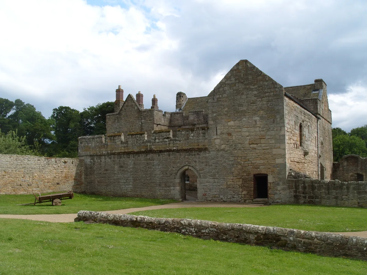
📷 5Castles · North East England
Halton Castle, Northumberland
Halton Castle, Northumberland — a castle in scotland-lowlands, United Kingdom.
📷 5Literary houses · North East England
Halton Castle
Halton Castle — a literary house museum in scotland lowlands.
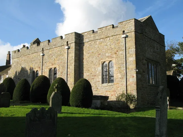
📷 3Historic churches · North East England
Halton Church
Halton Church — Grade I listed church in Halton, Northumberland, England, UK.
📷 4Archaeological sites · North East England
Milecastle 21
Milecastle 21 in England North East, United Kingdom.
📷 3Archaeological sites · North East England
Milecastle 22
Milecastle 22 in England North East, United Kingdom.
Where to eat & stay near Hunnum
Places to stay
 📷 5
📷 5Caravan parks · North East England
Wellhouse Farm Caravan Park
Wellhouse Farm Caravan Park — a caravan park in scotland lowlands.
📷 5Campsites · North East England
Wellhouse Farm Camping site
Wellhouse Farm Camping site — a campsite in scotland lowlands.
 📷 5
📷 5B&Bs · North East England
Duke Of Wellington Inn
Duke Of Wellington Inn — a bed-and-breakfast in scotland lowlands.
 📷 5
📷 5Campsites · North East England
Dilston Scout Camp
Dilston Scout Camp — a campsite in scotland lowlands.
 📷 5
📷 5Campsites · North East England
Fallowfield Caravan Park
Fallowfield Caravan Park — a campsite in scotland lowlands.
 📷 5
📷 5B&Bs · North East England
The Station Inn
The Station Inn — a bed-and-breakfast in scotland lowlands.
Places to eat & drink
 📷 7
📷 7Historic pubs · North East England
The Vicars Pele
The Vicars Pele in Scotland Lowlands, United Kingdom.
 📷 5
📷 5Historic pubs · North East England
Wellington Inn
Wellington Inn in Scotland Lowlands, United Kingdom.
 📷 6
📷 6 📷 5
📷 5 📷 5
📷 5 📷 5
📷 5Historic pubs · North East England
The Crown And Anchor
The Crown And Anchor in Scotland Lowlands, United Kingdom.
More archaeological sites in this region
 📷 5
📷 5Archaeological sites · North East England
Medieval Manorial Site of Low Dinsdale
Medieval Manorial Site of Low Dinsdale — archaeological in england yorkshire.
 📷 3
📷 3Archaeological sites · North East England
Old Smelting Mill
Old Smelting Mill — a archaeological in england-north-west, United Kingdom.
 📷 5
📷 5Archaeological sites · North East England
Roper Castle or Round Table (Roman Signal Station)
Roper Castle or Round Table (Roman Signal Station) — archaeological in england north west.
 📷 5
📷 5Archaeological sites · North East England
Nine Standards Rigg
Nine Standards Rigg — archaeological in england north west. Elevation: 662 m.
Frequently asked questions
- Where is Hunnum?
- Hunnum is in North-East England, United Kingdom (postcode NE45 5QA), in the parish of Whittington.
- What is Hunnum?
- Hunnum in England North East, United Kingdom.
- How do I get to Hunnum?
- The nearest railway station is Corbridge, about 4.9 km away. Drivers can use postcode NE45 5QA.
- Is Hunnum a protected site?
- Yes — Hunnum is part of the Northumberland Shore SSSI Site of Special Scientific Interest.
- Is Hunnum free to visit?
- Yes, Hunnum is free to enter.
- How do I get to Hunnum?
- The nearest railway station is Corbridge, about 4.9 km away. Drivers can navigate to postcode NE45 5QA.