Historic bridges · Yorkshire & the Humber
Howsham Bridge
In or near Howsham.
Howsham Bridge is a historic bridge in the United Kingdom.

Wikimedia Commons licence
Plan your visit
- Typical visit
- 15 min–30 min
- Free entry
- Dog-friendly
About
Howsham Bridge is a named historic bridge in the United Kingdom. Coordinates: 54.0534°, -0.8829°. This entry is part of The Great Britain Guide, a free, ad-free, open-data tourist directory.
Photo gallery
Heritage listing
Howsham Bridge is a historic bridge across the River Derwent in North Yorkshire, in England. A bridge on the road from Howsham to Barton-le-Willows was recorded by John Leland, but by 1612 it was reported as being in poor repair. The current bridge is generally described as dating from the late 18th century, but from 1813 to 1815, £5,977 was spent on the bridge, suggesting it was wholly rebuilt. It was grade II listed in 1987. The bridge is built of sandstone, and consists of three segmental arches with rusticated voussoirs.
From the Historic England List Entry under OGL v3.
Protected designations
- Site of Special Scientific Interest: River Derwent SSSI
- Area of Outstanding Natural Beauty: Howardian Hills
Designations sourced from Natural England open data under OGL v3.
From the Wikipedia article
Howsham Bridge is a historic bridge across the River Derwent in North Yorkshire, in England. A bridge on the road from Howsham to Barton-le-Willows was recorded by John Leland, but by 1612 it was reported as being in poor repair. The current bridge is generally described as dating from the late 18th century, but from 1813 to 1815, £5,977 was spent on the bridge, suggesting it was wholly rebuilt. It was grade II listed in 1987. The bridge is built of sandstone, and consists of three segmental arches with rusticated voussoirs. It has tapering semi-cylindrical buttresses, a band, and a coped parapet, and at the ends are drums.
Excerpt from Wikipedia under CC BY-SA 4.0. See the source article linked in Sources below.
- Coordinates
- 54.0534, -0.8829
- District
- North Yorkshire
- Parish
- Howsham
- Postcode
- YO60 7PA
- Parliamentary constituency
- Thirsk and Malton
Sources
- osm: w1436292661 (ODbL)
- wikipedia: Howsham Bridge (CC BY-SA 4.0)
Other places nearby

Howsham Mill
Watermills · 0.4 km

Howsham
Towns & cities · 0.6 km

Church of Saint John
Historic churches · 0.6 km

Howsham Hall
Historic houses · 0.7 km
Jun2006.jpg?width=1200)
Barton-le-Willows
Towns & cities · 1.9 km

Slowmotion
Distilleries · 2.0 km
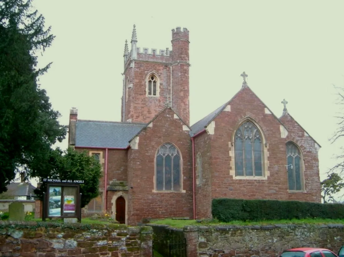
Church of St Michael
Historic churches · 2.3 km

Bossall Hall
Castles · 2.4 km

Scrayingham
Towns & cities · 2.5 km

Crambe
Towns & cities · 2.5 km

Pear Tree Farm Camping and Caravanning
Campsites · 2.8 km

Kirkham Bridge
Historic bridges · 3.3 km
Nearby
📷 5Watermills · Yorkshire & the Humber
Howsham Mill
Howsham Mill is a watermill in the United Kingdom.
📷 3Towns & cities · Yorkshire & the Humber
Howsham
Howsham — village and civil parish in North Yorkshire, England, UK.
📷 4Historic churches · Yorkshire & the Humber
Church of Saint John
Church of Saint John — Grade I listed building-listed church in england-yorkshire, United Kingdom.
📷 5Historic houses · Yorkshire & the Humber
Howsham Hall
Howsham Hall — a Grade I-listed historic house in england-yorkshire, United Kingdom.
📷 5Towns & cities · Yorkshire & the Humber
Barton-le-Willows
Barton-le-Willows — village in North Yorkshire, England, UK.
📷 3Where to eat & stay near Howsham Bridge
Places to stay
📷 5Campsites · Yorkshire & the Humber
Pear Tree Farm Camping and Caravanning
Pear Tree Farm Camping and Caravanning — a campsite in england yorkshire.
 📷 5
📷 5Caravan parks · Yorkshire & the Humber
Fox Hill Park
Fox Hill Park — a caravan park in england yorkshire.
 📷 5
📷 5Campsites · Yorkshire & the Humber
The Private Hill
The Private Hill — a campsite in england yorkshire.
 📷 5
📷 5Campsites · Yorkshire & the Humber
Thornthorpe Caravan & Camping Site
Thornthorpe Caravan & Camping Site — a campsite in england yorkshire.
 📷 5
📷 5Caravan parks · Yorkshire & the Humber
Weir Caravan Park
Weir Caravan Park — a caravan park in england yorkshire.
 📷 5
📷 5Caravan parks · Yorkshire & the Humber
White Rose Club
White Rose Club — a caravan park in england yorkshire.
Places to eat & drink
 📷 5
📷 5Historic pubs · Yorkshire & the Humber
The Crown And Cushion
The Crown And Cushion in England Yorkshire, United Kingdom.
 📷 5
📷 5Historic pubs · Yorkshire & the Humber
The Duke Of York
The Duke Of York in England Yorkshire, United Kingdom.
 📷 5
📷 5Historic pubs · Yorkshire & the Humber
The New Globe Public House
The New Globe Public House in England Yorkshire, United Kingdom.
 📷 5
📷 5Historic pubs · Yorkshire & the Humber
The Golden Lion Public House
The Golden Lion Public House in England Yorkshire, United Kingdom.
 📷 5
📷 5Historic pubs · Yorkshire & the Humber
The Spotted Cow Public House
The Spotted Cow Public House in England Yorkshire, United Kingdom.
 📷 7
📷 7Historic pubs · Yorkshire & the Humber
The Cross Keys Public House
The Cross Keys Public House in England Yorkshire, United Kingdom.
More bridges in this region
 📷 5
📷 5Historic bridges · Yorkshire & the Humber
Broadbottom Viaduct
Broadbottom Viaduct is a historic bridge in the United Kingdom.
 📷 3
📷 3Historic bridges · Yorkshire & the Humber
Goyt Cliff Viaduct
Goyt Cliff Viaduct is a historic bridge in the United Kingdom.
 📷 3
📷 3Historic bridges · Yorkshire & the Humber
Iron Bridge
Iron Bridge is a historic bridge in the United Kingdom.
.jpg?width=1200) 📷 5
📷 5Historic bridges · Yorkshire & the Humber
Marple Aqueduct
Marple Aqueduct is a historic bridge in the United Kingdom.
Frequently asked questions
- Where is Howsham Bridge?
- Howsham Bridge is in Yorkshire, United Kingdom (postcode YO60 7PA), in the parish of Howsham.
- What is Howsham Bridge?
- Howsham Bridge is a historic bridge in the United Kingdom.
- How do I get to Howsham Bridge?
- Drivers can use postcode YO60 7PA.
- Is Howsham Bridge a listed building?
- Howsham Bridge is officially recognised as Grade II listed building listed.
- Is Howsham Bridge a protected site?
- Yes — Howsham Bridge is part of the River Derwent SSSI Site of Special Scientific Interest and the Howardian Hills National Landscape (AONB).
- Is Howsham Bridge free to visit?
- Yes, Howsham Bridge is free to enter.
- How do I get to Howsham Bridge?
- Drivers can navigate to postcode YO60 7PA. It sits within the Thirsk and Malton parliamentary constituency.