
Gardens · East of England
Hoveton Hall
In or near Ashmanhaugh.
Hoveton Hall — country house in Neatishead, Norfolk, England, UK.

Wikimedia Commons contributors — see linked file page for photographer and licence licence

Plan your visit
- Typical visit
- 1 h–2.5 h
- Best time of year
- Spring & summer (Apr–Sep)
- Nearest railway station
- Wroxham BVR · 1.8 km
- Dog-friendly
Getting there & planning your visit
Hoveton Hall is located in North Norfolk, postcode NR12 8RJ, and is accessible via the nearest railway station, Wroxham BVR, which is 1.8 km away. Entry details are not provided, so please check in advance for any fees. Accessibility information is not specified.
About
Hoveton Hall is a public garden in the United Kingdom. Heritage designation: Grade II listed building. Wikidata describes it as: "country house in Neatishead, Norfolk, England, UK". Coordinates: 52.7282°, 1.4282°.
Photo gallery
Official information
A well-preserved Regency house of gault brick with a slate roof, built by Humphry Repton.
Read more on the official property page.
Protected designations
- Area of Outstanding Natural Beauty: Norfolk Coast
Designations sourced from Natural England open data under OGL v3.
From the Wikipedia article
Hoveton Hall in the parish of Hoveton in Norfolk is a Regency-style country house made of gault brick with a slate roof. It was built between 1809 and 1812, on or near the site of the previous ancient manor house of the same name, by Mrs Christabell Burroughes (1764-1843), daughter and heiress of Henry Negus (1734-1807) of Hoveton Hall, an attorney, and wife of James Burkin Burroughes (1760-1803) of Burlingham Hall, Norfolk. The architect was Humphry Repton. It is a well-preserved historic house of significance on the English Heritage Register. The Negus family had been seated at Hoveton Hall for several generations. The surrounding estate today consists of 120 acres of gardens and parkland and 450 acres of arable land as well as picturesque woodland. The gardens are open to the public during part of the year and there are facilities available for accommodation and special events including weddings.
Excerpt from Wikipedia under CC BY-SA 4.0. See the source article linked in Sources below.
Background
History
The exact site of the previous manor house, also called Hoveton Hall, demolished when the new house was built in 1809, is unknown as no part of it survives. However Basil Cozens-Hardy concluded, having analysed old maps and data: "it would seem that the original Hall was near the kitchen garden in the park, as a map and schedule of about 1840 (see map below) calls the field to the south-west "the Old Hall Close” (a "close" being an old term for an enclosed field). Moreover in Faden’s map of 1797 (see image) the Hall is shown at this point with an avenue running down to the road."
Sourced from Wikipedia under CC BY-SA 4.0.
- Coordinates
- 52.7282, 1.4282
- County
- Norfolk
- District
- North Norfolk
- Parish
- Neatishead
- Postcode
- NR12 8RJ
- Parliamentary constituency
- North Norfolk
- Nearest railway station
- Wroxham BVR — 1.8 km
- Official site
- www.hovetonhallestate.co.uk
Sources
- wikidata: Q18160629 (CC0)
- wikipedia: Hoveton Hall (CC BY-SA 4.0)
- commons: Hoveton Hall - geograph.org.uk - 24659.jpg (CC BY-SA 4.0)
Other places nearby

Ashmanhaugh Village Sign
Public art & sculpture · 0.8 km
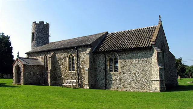
Ashmanhaugh
Towns & cities · 1.0 km

Wroxham Barns
Natural landmarks · 1.2 km

Tunstead Village Sign
National landscapes (AONB) · 1.3 km

Poplars Farm
Caravan parks · 1.6 km

Bure Valley Path
Public art & sculpture · 1.8 km

Hoveton Village Sign
Public art & sculpture · 1.9 km

Mystleigh Model Railway
Natural landmarks · 2.0 km

Beeston Hall
Historic houses · 2.1 km

Wroxham Bridge
Historic bridges · 2.3 km

Wroxham Bridge Village Sign
Public art & sculpture · 2.3 km

Snapes Water
Lakes · 2.4 km
Nearby
📷 3Public art & sculpture · East of England
Ashmanhaugh Village Sign
Ashmanhaugh Village Sign — a public art in england-east-midlands, United Kingdom.
Flagship📷 5📷 3Natural landmarks · East of England
Wroxham Barns
Wroxham Barns — a other in england-east-midlands, United Kingdom.
📷 3National landscapes (AONB) · East of England
Tunstead Village Sign
Tunstead Village Sign is a place of interest in the United Kingdom.
📷 5📷 3Public art & sculpture · East of England
Bure Valley Path
Bure Valley Path — a public art in england-east-midlands, United Kingdom.
Where to eat & stay near Hoveton Hall
Places to stay
📷 5 📷 5
📷 5Campsites · East of England
Street Hill Camping
Street Hill Camping — a campsite in england east midlands.
 📷 5
📷 5Campsites · East of England
Decoy Broad Campsite
Decoy Broad Campsite — a campsite in england east.
 📷 5
📷 5Campsites · East of England
Camping Corner
Camping Corner — a campsite in england east.
 📷 5
📷 5Hotels · East of England
Norfolk Mead Hotel & Spa
Norfolk Mead Hotel & Spa — a hotel in england east midlands.
 📷 5
📷 5Campsites · East of England
Hautbois Residential & Activities Centre
Hautbois Residential & Activities Centre — a campsite in england east midlands.
Places to eat & drink
 📷 7
📷 7Historic pubs · East of England
Recruiting Sergeant Inn
Recruiting Sergeant Inn in England East, United Kingdom.
 📷 5
📷 5 📷 5
📷 5 📷 5
📷 5 📷 5
📷 5 📷 5
📷 5Restaurants · East of England
The Town House
The Town House — a restaurant in england east. Brand: Stonehouse Pizza and Carvery.
More gardens in this region
 Flagship📷 10
Gardens · East of England
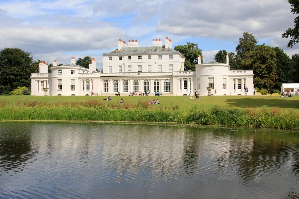
Frogmore Estate
Frogmore Estate — private gardens within the grounds of the Home Park, adjoining Windsor Castle in Berkshire, England, UK.
 Flagship📷 10
Gardens · East of England
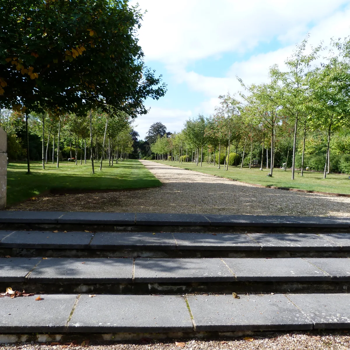
Stoke Poges Memorial Gardens
Stoke Poges Memorial Gardens — garden in Stoke Poges, Buckinghamshire, England, UK.
.jpg?width=1200) 📷 5
📷 5Gardens · East of England
Benington Lordship
Benington Lordship — country house in Hertfordshire, England, UK.
 📷 5
📷 5Gardens · East of England
Broadway
Broadway — road and green space in Letchworth, Hertfordshire, England, UK.
Frequently asked questions
- Where is Hoveton Hall?
- Hoveton Hall is in Norfolk, the East Midlands, United Kingdom (postcode NR12 8RJ), in the parish of Neatishead.
- What is Hoveton Hall?
- Hoveton Hall — country house in Neatishead, Norfolk, England, UK.
- How do I get to Hoveton Hall?
- The nearest railway station is Wroxham BVR, about 1.8 km away. Drivers can use postcode NR12 8RJ.
- Is Hoveton Hall a listed building?
- Hoveton Hall is officially recognised as Grade II listed building listed.
- Is Hoveton Hall a protected site?
- Yes — Hoveton Hall is part of the Norfolk Coast National Landscape (AONB).
- How do I get to Hoveton Hall?
- The nearest railway station is Wroxham BVR, about 1.8 km away. Drivers can navigate to postcode NR12 8RJ.