
Historic churches · South West England
Hotwells
In or near Bristol.
Hotwells is a neighbourhood in the English port city of Bristol. It is located to the south of and below the high ground of Clifton, and directly to the north of the Floating Harbour. The southern ent

Anthony O'Neil — CC BY-SA 2.0 via Wikimedia Commons licence

Plan your visit
- Typical visit
- 30 min–1 h
- Nearest railway station
- Butterfly Junction · 0.4 km
- Free entry
Getting there & planning your visit
To visit Hotwells, the nearest railway station is Butterfly Junction, located 0.4 km away. The postcode for navigation is BS8 4NQ, and entry to the church is free.
About
Hotwells is a neighbourhood in the English port city of Bristol. It is located to the south of and below the high ground of Clifton, and directly to the north of the Floating Harbour. The southern entrance to the Avon Gorge, which connects the docks to the sea, lies at the western end of Hotwells. The eastern end of the area is at the roundabout where Jacobs Well Road meets Hotwell Road. Hotwells is split between the city wards of Clifton, and Hotwells and Harbourside.
Photo gallery
Protected designations
- Site of Special Scientific Interest: Severn Estuary SSSI
Designations sourced from Natural England open data under OGL v3.
From the Wikipedia article
Hotwells is a neighbourhood in the English port city of Bristol. It is located to the south of and below the high ground of Clifton, and directly to the north of the Floating Harbour. The southern entrance to the Avon Gorge, which connects the docks to the sea, lies at the western end of Hotwells. The eastern end of the area is at the roundabout where Jacobs Well Road meets Hotwell Road. Hotwells is split between the city wards of Clifton, and Hotwells and Harbourside.
Excerpt from Wikipedia under CC BY-SA 4.0. See the source article linked in Sources below.
Background
History
Hotwells takes its name from the hot springs which bubble up through the rocks of the Avon Gorge underneath the Clifton Suspension Bridge. The springs were documented in 1480 by William Worcester, the 15th century chronicler and antiquary. He described the waters as being milky and as warm as those at Bath. By c.1630 the water of Hotwells was becoming known for its medical properties, both in its original form and when used to brew beer. Thomas Fuller, who had been a student of Dr Samuel Ward in the late 1620s, reported that 'beer brewed thereof is wholesome against the spleen; and Dr. Samuel Ward, afflicted with that malady, and living in Sidney College, was prescribed the constant…
Architecture
by J.M.W. Turner, 1793]] Grenville Chapel, a Methodist church, was opened in 1839 in an Early English Style building. For many years it was used as a garage and is now housing association managed flats. Hotwells has several of Bristol's Grade II* listed buildings, including the Church of Holy Trinity, designed by Cockrell, and Albemarle Row, a Georgian terrace. Also listed is the Pump House, formerly the power plant for Bristol Harbour's bridges and other machinery, now a public house.
Sourced from Wikipedia under CC BY-SA 4.0.
- Coordinates
- 51.4500, -2.6200
- District
- Bristol, City of
- Parish
- Bristol, City of, unparished area
- Postcode
- BS8 4NQ
- Parliamentary constituency
- Bristol Central
- Nearest railway station
- Butterfly Junction — 0.4 km
- Official site
- www.vistec.org
Sources
- wikipedia: Hotwells (CC BY-SA 4.0)
Other places nearby

The Bear Public House (263) And Attached Ramped Walls And Steps To Number 265
Historic pubs · 0.0 km

James Johnson
Memorials & monuments · 0.1 km

Peter Ware
Memorials & monuments · 0.1 km

262 Chapel Row, Hotwell Road
Historic houses · 0.1 km

Mr Robert Young
Memorials & monuments · 0.1 km

William Pennington
Memorials & monuments · 0.1 km

Adam And Eve Public House
Historic pubs · 0.1 km

10 Dowry Square
Historic houses · 0.1 km
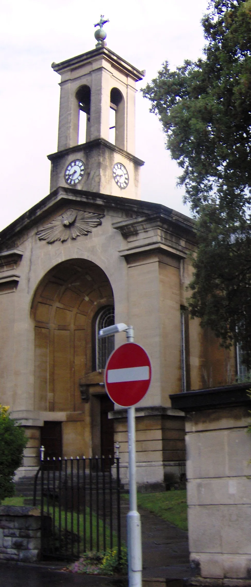
Church of Holy Trinity, Hotwells
Historic churches · 0.2 km
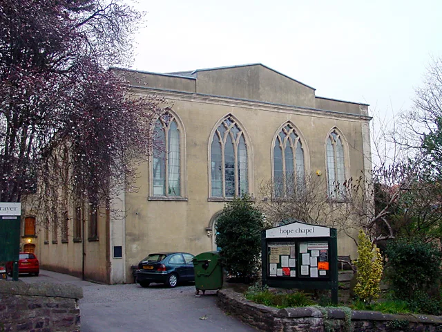
Hope Chapel, Bristol
Historic churches · 0.2 km

Cliftonwood
Public art & sculpture · 0.2 km

Pump House, Bristol
Historic pubs · 0.2 km
Nearby
📷 7Historic pubs · South West England
The Bear Public House (263) And Attached Ramped Walls And Steps To Number 265
The Bear Public House (263) And Attached Ramped Walls And Steps To Number 265 in Wales South, United Kingdom.
📷 3Memorials & monuments · South West England
James Johnson
James Johnson — a memorial in wales-south, United Kingdom.
📷 3Memorials & monuments · South West England
Peter Ware
Peter Ware — a memorial in wales-south, United Kingdom.
📷 3Historic houses · South West England
262 Chapel Row, Hotwell Road
262 Chapel Row, Hotwell Road — house in Hotwells, Bristol, England, UK.
📷 3Memorials & monuments · South West England
Mr Robert Young
Mr Robert Young — a memorial in wales-south, United Kingdom.
📷 4Memorials & monuments · South West England
William Pennington
William Pennington — a memorial in wales-south, United Kingdom.
Where to eat & stay near Hotwells
Places to stay
 📷 5
📷 5Hotels · South West England
Rodney Hotel
Rodney Hotel — a hotel in wales south.
 📷 7
📷 7B&Bs · South West England
Clift Guest House
Clift Guest House — a bed-and-breakfast in wales south.
 📷 7
📷 7Hotels · South West England
OYO The Regency
OYO The Regency — a hotel in wales south.
 📷 5
📷 5Hotels · South West England
Ibis Bristol Centre
Ibis Bristol Centre — a hotel in wales south.
 📷 7
📷 7Hotels · South West England
Bristol Marriott Royal Hotel
Bristol Marriott Royal Hotel — a hotel in england south west.
 📷 5
📷 5Hostels · South West England
YHA Bristol
YHA Bristol — a hostel in england south west.
Places to eat & drink
📷 7Historic pubs · South West England
The Bear Public House (263) And Attached Ramped Walls And Steps To Number 265
The Bear Public House (263) And Attached Ramped Walls And Steps To Number 265 in Wales South, United Kingdom.
📷 5Historic pubs · South West England
Adam And Eve Public House
Adam And Eve Public House in Wales South, United Kingdom.
📷 7Historic pubs · South West England
Pump House, Bristol
Pump House, Bristol in Wales South, United Kingdom.
 📷 7
📷 7Historic pubs · South West England
Nova Scotia
Nova Scotia in Wales South, United Kingdom.
 📷 7
📷 7 📷 3
📷 3Historic pubs · South West England
Grain Barge
Grain Barge — Historic pub — listed building or notable heritage status.
More places in this region
 📷 5
📷 5Historic churches · South West England
Abbey Church of St Gregory the Great, Downside Abbey
Abbey Church of St Gregory the Great, Downside Abbey — church in Stratton-on-the-Fosse, Somerset, England, UK.
 📷 5
📷 5Historic churches · South West England
All Saints Church
All Saints Church — Grade I listed church in Woolley, Somerset, England, UK.
 📷 5
📷 5Historic churches · South West England
All Saints Church, Hampreston
All Saints Church, Hampreston — church in Hampreston, Dorset, England, UK.
 📷 5
📷 5Historic churches · South West England
All Saints Church, Nether Cerne
All Saints Church, Nether Cerne — church in Nether Cerne, Dorset, England, UK.
Frequently asked questions
- Where is Hotwells?
- Hotwells is in South Wales, United Kingdom (postcode BS8 4NQ), in the parish of Bristol, City of, unparished area.
- What is Hotwells?
- Hotwells is a neighbourhood in the English port city of Bristol. It is located to the south of and below the high ground of Clifton, and directly to the north of the Floating Harbour. The southern ent
- How do I get to Hotwells?
- The nearest railway station is Butterfly Junction, about 0.4 km away. Drivers can use postcode BS8 4NQ.
- Is Hotwells a protected site?
- Yes — Hotwells is part of the Severn Estuary SSSI Site of Special Scientific Interest.
- Is Hotwells free to visit?
- Yes, Hotwells is free to enter.
- How do I get to Hotwells?
- The nearest railway station is Butterfly Junction, about 0.4 km away. Drivers can navigate to postcode BS8 4NQ.