
Historic bridges · East Midlands
Horn Mill Bridge
In or near Empingham.
Horn Mill Bridge — Grade II listed building-listed bridge in england-west-midlands, United Kingdom.

Andrew Tatlow — CC BY-SA 2.0 via Wikimedia Commons licence

Plan your visit
- Typical visit
- 15 min–30 min
- Nearest railway station
- Stamford · 8.5 km
- Free entry
- Dog-friendly
Getting there & planning your visit
Horn Mill Bridge is located in Rutland, with the postcode PE9 4AL. The nearest railway station is Stamford, which is 8.5 km away. Entry to the bridge is free.
About
Horn Mill Bridge is a Grade II listed building-listed bridge in england-west-midlands, United Kingdom, registered on the National Heritage List for England (NHLE entry 1073934). Listed status protects buildings and structures of special architectural or historic interest. See the linked Wikipedia article for further details.
Photo gallery
Heritage listing
Details SK 91 SE 2/80 EMPINGHAM Horn Mill Bridge II Bridge. Late C18. Coursed rubble stone and ashlar with quoins. Single semi-circular arch with keystone and edged with ashlar. Parapet with stone coping. Carries road over North Brook c100m SE of Horn Millhouse. Listing NGR: SK9533510413 Legacy The contents of this record have been generated from a legacy data system. Legacy System number: 186914 Legacy System: LBS
From the Historic England List Entry under OGL v3.
Place summary
Horn Mill Bridge is a Grade II listed bridge located in the West Midlands. It is recognised for its architectural significance and historical value within the region.
AI-generated from the structured facts on this page (operator, designation, listing, era). Not a substitute for visiting.
- Coordinates
- 52.6830, -0.5912
- District
- Rutland
- Parish
- Empingham
- Postcode
- PE9 4AL
- Parliamentary constituency
- Rutland and Stamford
- Nearest railway station
- Stamford — 8.5 km
Sources
- wikidata: Q26335936 (CC0)
Other places nearby

Dovecote 170m north east of the junction between Main Street and Exton Road
Historic houses · 1.6 km

Exton and Horn
Historic churches · 1.8 km
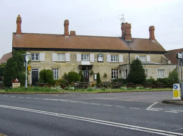
Empingham
Towns & cities · 1.9 km

War Memorial at Empingham Cemetery
Memorials & monuments · 1.9 km

Allen Monument At Churchyard Of St Peter
Memorials & monuments · 1.9 km

Old Prebendal House
Historic houses · 2.0 km

Church of St Peter, Empingham
Historic churches · 2.0 km

Empingham Village Sign
Public art & sculpture · 2.0 km

Losecote Field
Forts · 2.2 km

The Great Tower
Memorials & monuments · 2.9 km

Exton, Rutland
Historic churches · 2.9 km

Former RAF Woolfox Lodge
Archaeological sites · 3.0 km
Nearby
📷 3Historic houses · East Midlands
Dovecote 170m north east of the junction between Main Street and Exton Road
Dovecote 170m north east of the junction between Main Street and Exton Road — a Grade II-listed historic house in england-west-midlands, United Kingdom.
📷 5Historic churches · East Midlands
Exton and Horn
Exton and Horn — a church in england-west-midlands, United Kingdom.
Flagship📷 4📷 3Memorials & monuments · East Midlands
War Memorial at Empingham Cemetery
War Memorial at Empingham Cemetery — Grade II listed building-listed memorial in england-west-midlands, United Kingdom.
📷 3Memorials & monuments · East Midlands
Allen Monument At Churchyard Of St Peter
Allen Monument At Churchyard Of St Peter — Grade II listed building-listed memorial in england-west-midlands, United Kingdom.
📷 3Historic houses · East Midlands
Old Prebendal House
Old Prebendal House — house in Empingham, Rutland, England, UK.
Where to eat & stay near Horn Mill Bridge
Places to stay
 📷 5
📷 5Caravan parks · East Midlands
Road End Farm Caravan Site
Road End Farm Caravan Site — a caravan park in england west midlands.
 📷 5
📷 5Caravan parks · East Midlands
Rutland Caravan and Camping
Rutland Caravan and Camping — a caravan park in england east midlands.
 📷 5
📷 5Campsites · East Midlands
Rutland Water Campsite
Rutland Water Campsite — a campsite in england west midlands.
 📷 5
📷 5Campsites · East Midlands
Lyndon Top
Lyndon Top — a campsite in england west midlands.
 📷 5
📷 5Campsites · East Midlands
Cuckoo Farm Camp Site
Cuckoo Farm Camp Site — a campsite in england west midlands.
📷 5Campsites · East Midlands
The Paddock
The Paddock — a campsite in england west midlands.
Places to eat & drink
 📷 5
📷 5 📷 5
📷 5Historic pubs · East Midlands
The Scotgate Public House
The Scotgate Public House in England East, United Kingdom.
 📷 5
📷 5 📷 5
📷 5Historic pubs · East Midlands
The O'Briens Arms Public House
The O'Briens Arms Public House in England East, United Kingdom.
 📷 7
📷 7 📷 5
📷 5Historic pubs · East Midlands
The Beehive Public House
The Beehive Public House in England East, United Kingdom.
More bridges in this region
 📷 5
📷 5Historic bridges · East Midlands
Mill Race Bridge To Market Deeping Mill
Mill Race Bridge To Market Deeping Mill — Grade II listed building-listed bridge in england-london, United Kingdom.
 📷 5
📷 5Historic bridges · East Midlands
Bridge Over West Glen River
Bridge Over West Glen River — Grade II listed building-listed bridge in england-london, United Kingdom.
 📷 5
📷 5Historic bridges · East Midlands
Bridge And Sluices
Bridge And Sluices — Grade II listed building-listed bridge in england-london, United Kingdom.
 📷 5
📷 5Historic bridges · East Midlands
Bridge Over River Gwash
Bridge Over River Gwash — Grade II listed building-listed bridge in england-london, United Kingdom.
Frequently asked questions
- Where is Horn Mill Bridge?
- Horn Mill Bridge is in the East Midlands, United Kingdom (postcode PE9 4AL), in the parish of Empingham.
- What is Horn Mill Bridge?
- Horn Mill Bridge — Grade II listed building-listed bridge in england-west-midlands, United Kingdom.
- How do I get to Horn Mill Bridge?
- The nearest railway station is Stamford, about 8.5 km away. The nearest town is Empingham. Drivers can use postcode PE9 4AL.
- Is Horn Mill Bridge a listed building?
- Horn Mill Bridge is officially recognised as Grade II listed building listed.
- Is Horn Mill Bridge free to visit?
- Yes, Horn Mill Bridge is free to enter.
- How do I get to Horn Mill Bridge?
- Drivers can navigate to postcode PE9 4AL. It sits within the Rutland and Stamford parliamentary constituency.