
Forts · South East England
Hoo Fort
In or near Hoo St Werburgh.
Hoo Fort — Historic fort, dating to 1861.

Wikimedia Commons contributors — see linked file page for photographer and licence licence

Plan your visit
- Typical visit
- 45 min–1.5 h
- Nearest railway station
- Fort Apache · 1.4 km
- Free entry
Getting there & planning your visit
To visit Hoo Fort, the nearest railway station is Fort Apache, located 1.4 km away. The postcode for sat-nav is ME7 2SE. Entry details are not provided, so please check in advance.
About
Hoo Fort is a historic fort or fortified site in the United Kingdom. Records date its origin to 1861. Wikidata describes it as: "Historic fort, dating to 1861.". Coordinates: 51.4033°, 0.5814°.
Photo gallery
Official information
Hoo Fort is a historical military fortification located on Hoo Island in the Medway estuary. Built in the 19th century, it features circular designs with accommodation casemates and gun positions, showcasing the military architecture of its time. Visitors can explore the fort's structure and learn about its historical significance in Britain's defense strategy.
Protected designations
- Site of Special Scientific Interest: Medway Estuary and Marshes SSSI
- Area of Outstanding Natural Beauty: Kent Downs
- Ramsar wetland: Medway Estuary & Marshes
Designations sourced from Natural England open data under OGL v3.
From the Wikipedia article
Hoo Fort is a nineteenth-century military installation on the River Medway in Kent, England, that formed part of the defences of Chatham Naval Dockyard. Hoo Fort, like Fort Darnet 1 km (0.6 mi) downstream, was built on the recommendations of the 1859 Royal Commission. It is located on Hoo Island covering Pinup Reach, the inner navigable channel of the River Medway. Hoo Island sits to the south of the Hoo Peninsula and is within the parish of Hoo, Kent. The fort can be viewed from along the Saxon Shore Way, accessible from Vicarage Lane in Hoo.
Excerpt from Wikipedia under CC BY-SA 4.0. See the source article linked in Sources below.
Background
History
behind]] Originally designed for two tiers of guns mounted in a circle, with a boom strung between Hoo Fort and Fort Darnet, there were many problems with subsidence, and after extensive cost overruns the forts were completed in 1871 with a single tier of eleven 9-inch rifled muzzle-loading guns, and no boom. Each gun was mounted in an individual casemate with heavily armoured firing port. and is owned by Medway Ports. view of the fort and earthworks.]]
Sourced from Wikipedia under CC BY-SA 4.0.
- Coordinates
- 51.4033, 0.5814
- District
- Medway
- Parish
- Medway, unparished area
- Postcode
- ME7 2SE
- Parliamentary constituency
- Gillingham and Rainham
- Established
- 1861
- Nearest railway station
- Fort Apache — 1.4 km
- Official site
- www.subbrit.org.uk
Sources
- osm: w122052898 (ODbL)
- wikipedia: Hoo Fort (CC BY-SA 4.0)
- commons: Hoo Fort.jpg (CC BY-SA 4.0)
Other places nearby

PS Medway Queen
Maritime museums · 1.1 km

Darnet Fort
Forts · 1.1 km

Violette
Museums · 1.3 km

Strand Miniature Railway
Miniature railways · 1.5 km

The Ship Public House
Historic pubs · 1.6 km

Grench Manor
Manor houses · 1.8 km

Port Werburgh Concrete Barge
Museums · 2.0 km

Hoo St Werburgh War Memorial
Memorials & monuments · 2.0 km

Church of St Werburgh, Hoo
Historic churches · 2.0 km

Bishop Saltings
Wildlife reserves · 2.1 km
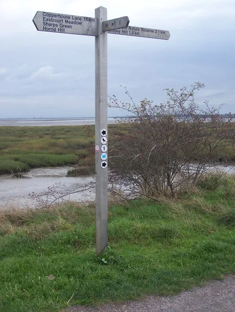
Riverside Country Park
Parks · 2.3 km

Yachtsman Artwork
Public art & sculpture · 2.3 km
Nearby
📷 5Maritime museums · South East England
PS Medway Queen
PS Medway Queen in England South East, United Kingdom.
📷 5Forts · South East England
Darnet Fort
Darnet Fort is a fort in the United Kingdom.
📷 5Museums · South East England
Violette
Violette — a museum in england-london, United Kingdom.
📷 5Miniature railways · South East England
Strand Miniature Railway
Strand Miniature Railway — a miniature railway in england-london, United Kingdom.
📷 7Historic pubs · South East England
The Ship Public House
The Ship Public House in England South East, United Kingdom.
📷 5Manor houses · South East England
Grench Manor
Grench Manor — Grade II listed building-listed manor in england-london, United Kingdom.
Where to eat & stay near Hoo Fort
Places to stay
 📷 5
📷 5Caravan parks · South East England
The Otterham Park
The Otterham Park — a caravan park in england south east.
 📷 5
📷 5 📷 5
📷 5 📷 5
📷 5Hotels · South East England
Travelodge Rochester
Travelodge Rochester — a hotel in england london.
 📷 5
📷 5 📷 5
📷 5Places to eat & drink
📷 7Historic pubs · South East England
The Ship Public House
The Ship Public House in England South East, United Kingdom.
 📷 7
📷 7Historic pubs · South East England
The Southern Belle
The Southern Belle — Historic pub — listed building or notable heritage status.
 📷 5
📷 5Historic pubs · South East England
White Lion Hotel
White Lion Hotel — Historic pub — listed building or notable heritage status.
 📷 5
📷 5Historic pubs · South East England
Command House And Attached Entrance Railings, Stable And Carriage House And Rear Wall
Command House And Attached Entrance Railings, Stable And Carriage House And Rear Wall in England South East, United Kingdom.
 📷 6
📷 6Historic pubs · South East England
The Prince of Wales
The Prince of Wales — Historic pub — listed building or notable heritage status.
 📷 5
📷 5Historic pubs · South East England
Lord Duncan Public House
Lord Duncan Public House in England South East, United Kingdom.
Other forts from this era
 📷 5📷 5
Forts · South East England
Darnet Fort
Darnet Fort is a fort in the United Kingdom.
 📷 5
📷 5 📷 5
📷 5More forts in this region
 📷 5
📷 5 📷 5
📷 5Forts · South East England
Fort Amherst
Fort Amherst is a fort in the United Kingdom.
 📷 5
📷 5 📷 5
📷 5Frequently asked questions
- Where is Hoo Fort?
- Hoo Fort is in London, United Kingdom (postcode ME7 2SE), in the parish of Medway, unparished area.
- What is Hoo Fort?
- Hoo Fort — Historic fort, dating to 1861.
- How do I get to Hoo Fort?
- The nearest railway station is Fort Apache, about 1.4 km away. Drivers can use postcode ME7 2SE.
- When was Hoo Fort built?
- Built or established in 1861.
- Is Hoo Fort a protected site?
- Yes — Hoo Fort is part of the Medway Estuary and Marshes SSSI Site of Special Scientific Interest and the Kent Downs National Landscape (AONB).
- How do I get to Hoo Fort?
- The nearest railway station is Fort Apache, about 1.4 km away. Drivers can navigate to postcode ME7 2SE.