
Chapels · London
Homerton
In or near City of London.
Homerton — a methodist chapel in england-london, United Kingdom.

Julie Cookson — CC BY-SA 2.0 via Wikimedia Commons licence

Plan your visit
- Typical visit
- 20 min–45 min
- Nearest railway station
- Homerton · 0.6 km
- Free entry
About
Homerton is a methodist chapel located in england-london, United Kingdom. Catalogued from Wikidata's UK heritage register; see the linked Wikipedia article for further details on its history, architecture and visiting information.
Photo gallery
Official information
Chatsworth Road Market is a vibrant market featuring over 50 traders offering a variety of food options, handmade products, and unique gifts. It is located on Chatsworth Road in Lower Clapton and is easily accessible by public transport.
Place summary
Homerton is a chapel located in the London region, specifically within the unparished area of Hackney. This site serves the local community with its religious functions and contributes to the area's architectural landscape.
AI-generated from the structured facts on this page (operator, designation, listing, era). Not a substitute for visiting.
Background
History
Archaeological excavations at Link Street exposed a building dating to the 11th or 12th century suggesting that Homerton existed before it was first recorded in 1343. The hamlet of Homerton (Humberton or Hummerton, named for the farm of a woman named Hunburh) developed for about a half-mile along the road on the north side of the now buried and lost Hackney Brook, within the vale formed by the brook. This led from the hamlet of Clopton, passing near the church of St Augustine at Hackney, then across the marshes and the crossing points of both the River Lea, and its tributary, Hackney Brook. By 1605 Homerton was the most populous part of the Parish of Hackney, becoming a separate parish in…
Description
Marsh Road, from Homerton High Street, led to, and across the marshes, towards the Templar owned water-powered corn mill at Temple Mills. Prone to flooding, the marshes were primarily used for grazing. A Roman stone causeway was discovered in the 1770s. By 1795 the former Templar mills were being used for preparing lead. Sheets of lead were placed in clay pots and submerged in urine, then heated by decaying cow dung. The process converted the lead to lead oxide, and it was then finely ground to form a pigment for white, yellow and red lead paint. A new watermill was established on the marshes by Prince Rupert for an improved method of boring guns; however, the secret died with him in 1682,…
Sourced from Wikipedia under CC BY-SA 4.0.
- Coordinates
- 51.5521, -0.0470
- District
- Hackney
- Parish
- Hackney, unparished area
- Postcode
- E5 0NF
- Parliamentary constituency
- Hackney North and Stoke Newington
- Phone
- 020 8356 8550
- Nearest railway station
- Homerton — 0.6 km
- Opening
- Sunday 10am–5pm; closed Monday to Saturday
- Official site
- hackney.gov.uk
Sources
Other places nearby
Lower Clapton
Chapels · 0.0 km

Chatsworth Road Market
Farmers’ markets · 0.2 km

Castle Cinema
Cinemas · 0.3 km

Newcome's School
Natural landmarks · 0.3 km

Elements Gallery London
Galleries · 0.4 km

Unsung Heroes of Hackney
Public art & sculpture · 0.4 km
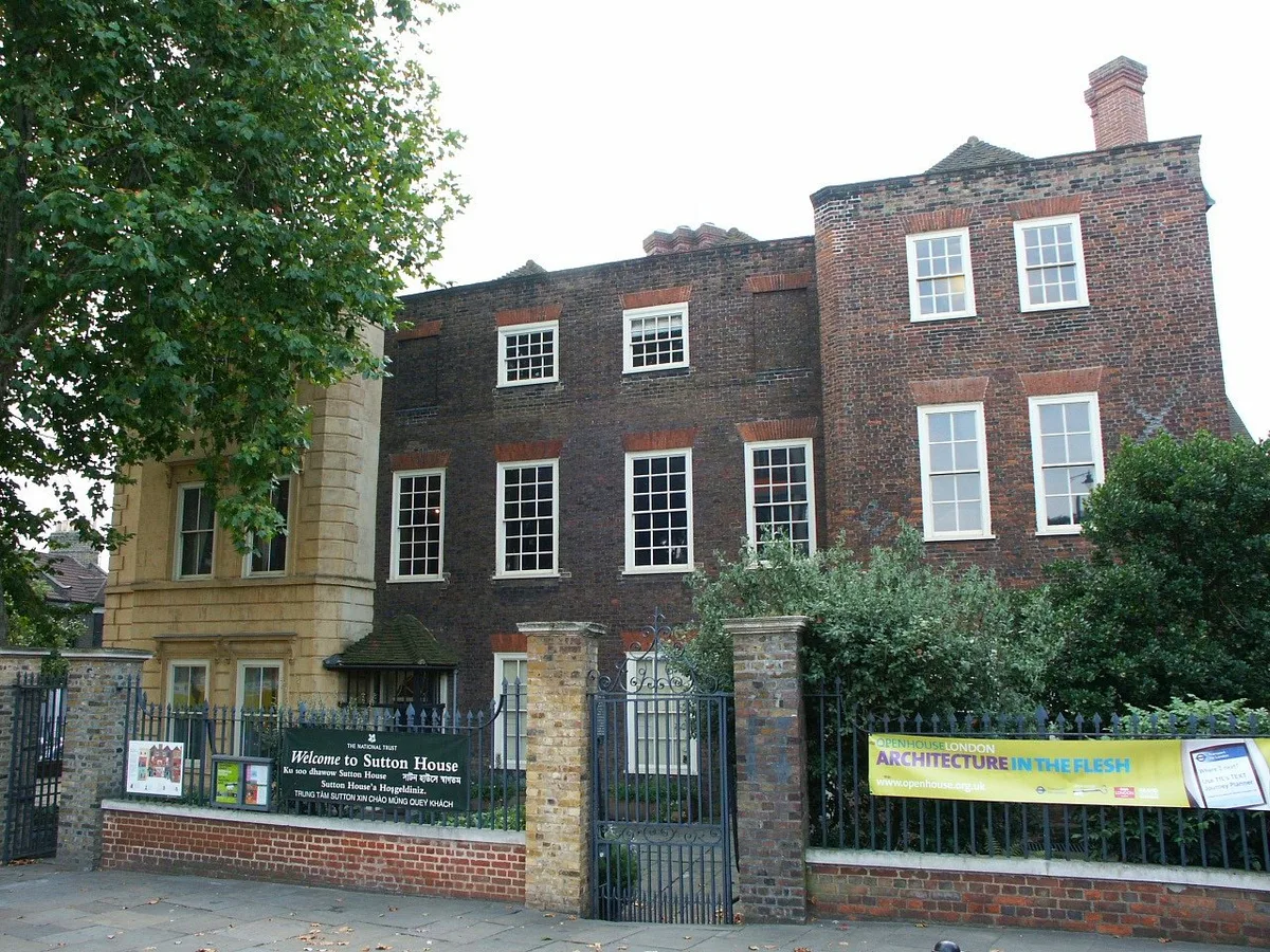
Sutton House
Stately homes · 0.5 km

Tomb of Harry Sedgwick
Follies · 0.5 km

Homerton War Memorial
Memorials & monuments · 0.5 km

Al-Hudaa Islamic Prayer Group
Historic churches · 0.5 km

Loddiges Family Tomb
Follies · 0.5 km

Tomb of Captain John Hunter
Follies · 0.5 km
Nearby
📷 5Chapels · London
Lower Clapton
Lower Clapton — a methodist chapel in england-london, United Kingdom.
📷 5Farmers’ markets · London
Chatsworth Road Market
Chatsworth Road Market — a UK farmers' market in england london.
📷 5📷 5Natural landmarks · London
Newcome's School
Newcome's School — a school heritage in england-london, United Kingdom.
📷 5Galleries · London
Elements Gallery London
Elements Gallery London — a gallery in england-london, United Kingdom.
📷 5Public art & sculpture · London
Unsung Heroes of Hackney
Unsung Heroes of Hackney — Public artwork (mosaic) by Hackney Mosaic Project.
Where to eat & stay near Homerton
Places to stay
 📷 7
📷 7 📷 5
📷 5 📷 7
📷 7Hotels · London
Town Hall Hotel & Apartments
Town Hall Hotel & Apartments — a hotel in england london.
 📷 5
📷 5 📷 7
📷 7Hotels · London
The Stratford Hotel
The Stratford Hotel — a hotel in england london.
 📷 5
📷 5Places to eat & drink
 📷 5
📷 5 📷 5
📷 5Historic pubs · London
The Duke Of Richmond Public House
The Duke Of Richmond Public House in England London, United Kingdom.
 📷 5
📷 5 📷 5
📷 5Historic pubs · London
The Rochester Castle Public House
The Rochester Castle Public House in England London, United Kingdom.
 📷 7
📷 7 📷 7
📷 7More places in this region
.jpg?width=1200) 📷 5
📷 5Chapels · London
Baptist Chapel
Baptist Chapel — chapel in Southwark, London, England, UK.
 📷 5
📷 5Chapels · London
Boone's Chapel
Boone's Chapel — Grade I listed chapel in London Borough of Lewisham, United Kingdom.
 📷 5
📷 5Chapels · London
Chantry Chapel Of St Mary Magdalene
Chantry Chapel Of St Mary Magdalene — chapel in Royal Borough of Kingston upon Thames, London, England, UK.
 📷 5
📷 5Chapels · London
Chapel at College of St Mark and St John
Chapel at College of St Mark and St John — grade II listed chapel in the United Kingdom.
Frequently asked questions
- Where is Homerton?
- Homerton is in London, United Kingdom (postcode E5 0NF), in the parish of Hackney, unparished area.
- What is Homerton?
- Homerton — a methodist chapel in england-london, United Kingdom.
- How do I get to Homerton?
- The nearest railway station is Homerton, about 0.6 km away. Drivers can use postcode E5 0NF.
- Is Homerton free to visit?
- Yes, Homerton is free to enter.
- How do I get to Homerton?
- The nearest railway station is Homerton, about 0.6 km away. Drivers can navigate to postcode E5 0NF.