
Castles · North West England
Holt Castle
In or near Farndon.
Holt Castle — Grade II* listed building in Wrexham. Castle in Holt, north Wales.

Wikimedia Commons contributors — see linked file page for photographer and licence licence

Plan your visit
- Typical visit
- 1.5 h–3 h
- Nearest railway station
- Gresford (WDSME) · 6.6 km
- Free entry
- Family-friendly
- Limited wheelchair access
Getting there & planning your visit
To visit Holt Castle, the nearest railway station is Gresford, located 6.6 km away. The postcode for sat-nav is LL13 9AZ. Accessibility is limited for wheelchair users.
About
Holt Castle is a castle in the United Kingdom — fortified architecture from the medieval, Tudor, or Victorian-revival period. Records date its origin to 1282. Constructed primarily of sandstone. Heritage designation: scheduled monument. Wikidata describes it as: "Grade II* listed building in Wrexham. Castle in Holt, north Wales". Coordinates: 53.0779°, -2.8802°.
Photo gallery
Heritage listing
Holt Castle (Welsh: Castell Holt) was a medieval castle on the Welsh–English border, by the banks of the River Dee, in the village of Holt, Wrexham County Borough, Wales. Work began on the castle in the 13th century during the Welsh Wars. In the medieval period, the five-towered fortress was actually known as Castrum Leonis or Castle Lyons because it had a lion motif carved into the stonework above its main gate.
From the Historic England List Entry under OGL v3.
Official information
Holt Castle, located on the banks of the River Dee, was built in the late 13th century and has a rich history involving notable figures such as Edward I and Richard III. Today, visitors can explore the remains of the castle, which include a central courtyard and picturesque views of the surrounding area.
Protected designations
- Site of Special Scientific Interest: River Dee (England) SSSI
Designations sourced from Natural England open data under OGL v3.
From the Wikipedia article
Holt Castle (Welsh: Castell Holt) was a medieval castle on the Welsh–English border, by the banks of the River Dee, in the village of Holt, Wrexham County Borough, Wales. Work began on the castle in the 13th century during the Welsh Wars. In the medieval period, the five-towered fortress was actually known as Castrum Leonis or Castle Lyons because it had a lion motif carved into the stonework above its main gate. In the 17th century, almost all the stonework was removed from the site; only the sandstone foundation and a small amount of masonry survives.
Excerpt from Wikipedia under CC BY-SA 4.0. See the source article linked in Sources below.
Background
History
, 1781]] Holt castle was started by Edward I on a sandstone base next to the River Dee soon after the invasion of North Wales in 1277. In 1282 Edward presented the Welsh lands of Bromfield and Yale in which Holt was situated to loyal lord John de Warrene, who was also given the task of completing the castle. By 1311 the castle had been finished and a planned town laid out next to it for the use of English settlers. A century later, Welsh forces burned down the town in 1400 during the uprising of Owain Glyndŵr; although the castle was not taken. By the 16th century Holt Castle had fallen into disuse and ruin. The English Elizabethan map maker John Norden surveyed the castle and noted that it…
Architecture
The castle, which was constructed between 1277 and 1311, was built from local sandstone on top of a 12 m high promontory. It was shaped like a pentagon with towers at each corner. The castle had a stepped ramp up to a main gateway, barbican, inner ward, postern and curtain walls. There was also a water-filled moat that was fed from the River Dee. The design of the castle featured towers that were built against the face of the rock outside the curtain wall, similar to the inner wards at Ruthin and at Conwy.
Sourced from Wikipedia under CC BY-SA 4.0.
- Coordinates
- 53.0779, -2.8802
- District
- Wrexham
- Parish
- Holt
- Postcode
- LL13 9AZ
- Parliamentary constituency
- Wrexham
- Established
- 1282
- Nearest railway station
- Gresford (WDSME) — 6.6 km
- Official site
- www.wrexham.gov.uk
Sources
- wikidata: Q5884534 (CC0)
- wikipedia: Holt Castle (CC BY-SA 4.0)
- commons: Remains of Holt Castle - geograph.org.uk - 352189.jpg (CC BY-SA 4.0)
Other places nearby

Holt Castle Ruins
Castles · 0.0 km

Face of Holt
Public art & sculpture · 0.2 km

Holt English Presbyterian Church
Historic churches · 0.2 km
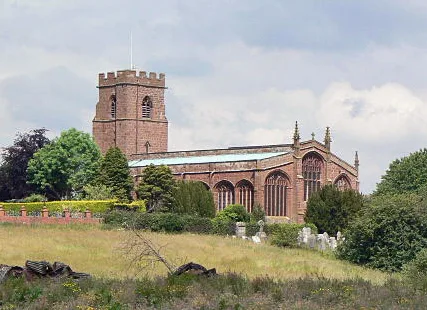
St Chad's Church
Historic churches · 0.3 km

Coronation Meadow
Natural landmarks · 0.6 km

Holt / Farndon Bridge
Historic bridges · 0.6 km
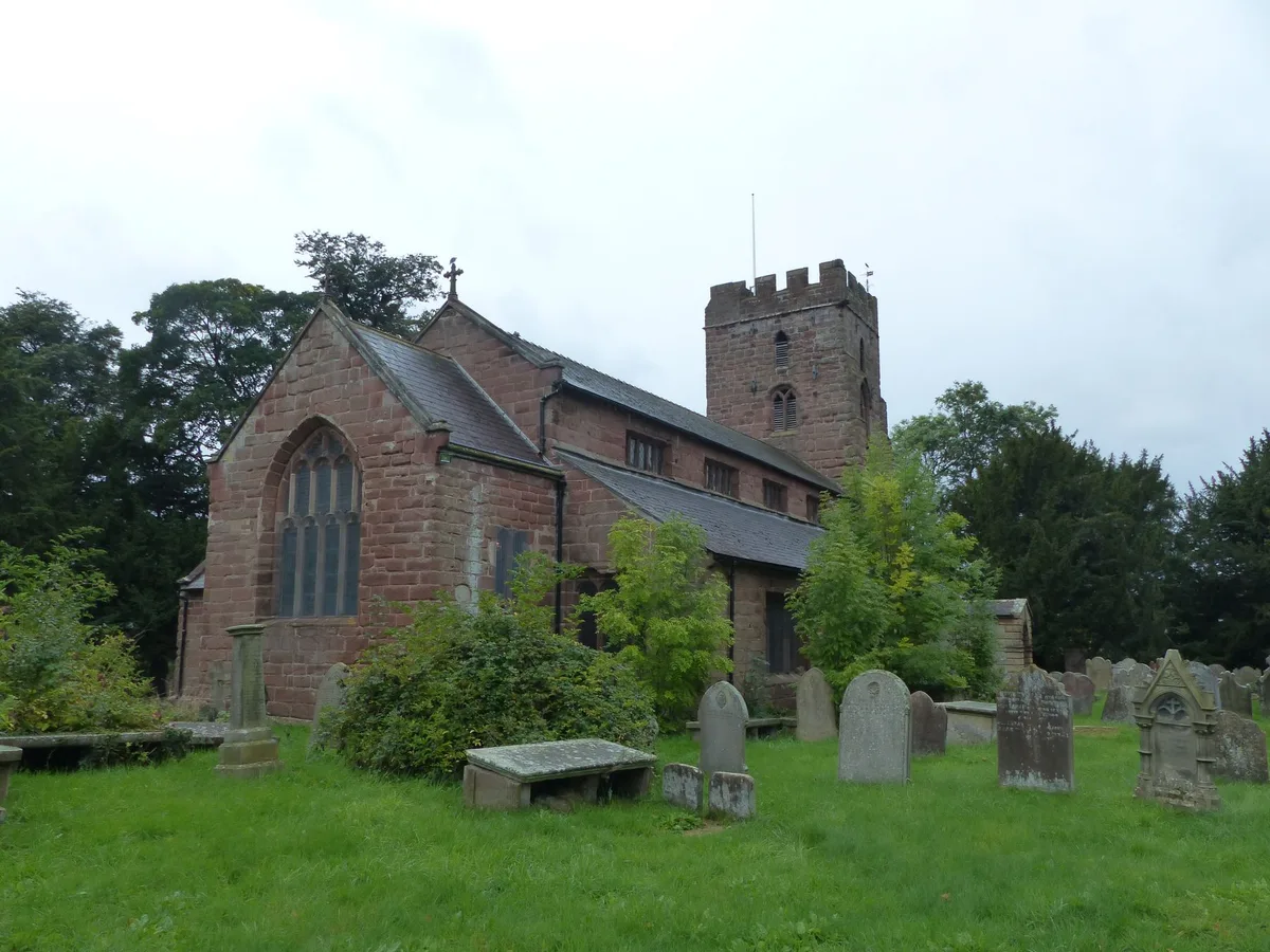
St Chad's Church, Farndon
Historic churches · 0.7 km

Holly Bank, formerly The Doctor's House
Historic houses · 0.7 km

Farndon War Memorial
Memorials & monuments · 0.8 km

Farndon
Towns & cities · 0.8 km

Roman Tile Factory and Depot
Archaeological sites · 1.0 km

Roman Tile Factory and Depot
Archaeological sites · 1.0 km
Nearby
📷 3Castles · North West England
Holt Castle Ruins
Holt Castle Ruins — a castle in wales-north, United Kingdom.
📷 3Public art & sculpture · North West England
Face of Holt
Face of Holt — a public art in wales-north, United Kingdom.
📷 5Historic churches · North West England
Holt English Presbyterian Church
Holt English Presbyterian Church — Grade II listed building-listed church in wales-north, United Kingdom.
📷 5Historic churches · North West England
St Chad's Church
St Chad's Church — church in Holt, Wrexham County Borough, Wales.
📷 3Natural landmarks · North West England
Coronation Meadow
Coronation Meadow — a other in wales-north, United Kingdom.
📷 3Historic bridges · North West England
Holt / Farndon Bridge
Holt / Farndon Bridge is a historic bridge in the United Kingdom.
Where to eat & stay near Holt Castle
Places to stay
 📷 5
📷 5Campsites · North West England
Manor Wood Country Caravan Park
Manor Wood Country Caravan Park — a campsite in wales north.
 📷 5
📷 5 📷 5
📷 5 📷 5
📷 5Campsites · North West England
The Durham Heifer
The Durham Heifer — a campsite in wales north.
 📷 5
📷 5Hotels · North Wales
The Wynnstay Arms Hotel - Marston's Inn
The Wynnstay Arms Hotel - Marston's Inn — a hotel in wales north. Brand: Marston's Inn.
 📷 5
📷 5Places to eat & drink
 📷 5
📷 5Historic pubs · North West England
Carden Arms
Carden Arms in Wales North, United Kingdom.
 📷 7
📷 7 📷 5
📷 5Historic pubs · North Wales
Saith Seren
Saith Seren in Wales North, United Kingdom.
 📷 7
📷 7Restaurants · North Wales
The Crown Inn
The Crown Inn — a restaurant in wales north.
 📷 7
📷 7 📷 5
📷 5Other castles from this era
 📷 5
📷 5Castles · South East England
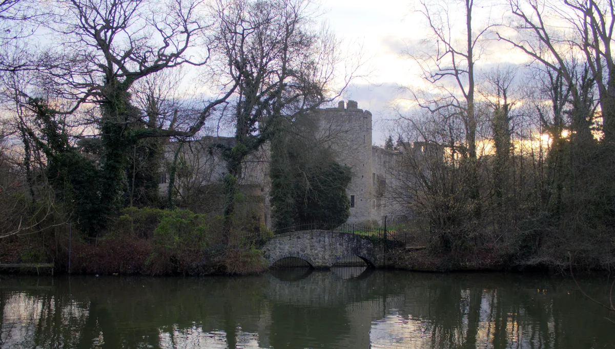
Allington Castle
Allington Castle — stone-built moated castle in Allington, England.
 📷 5
📷 5Castles · South East England
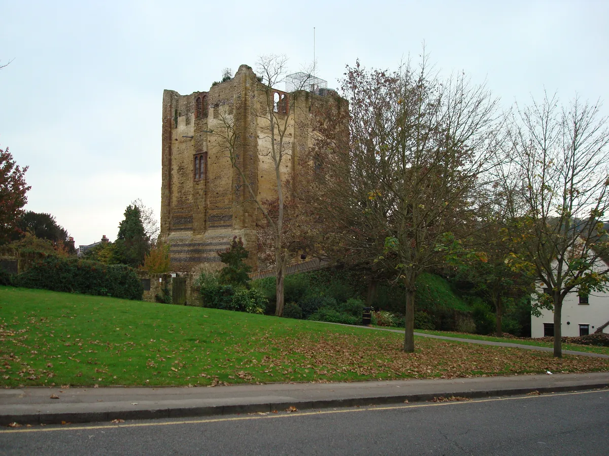
Guildford Castle
Guildford Castle — castle in Guildford, Surrey, England, UK.
 📷 5
📷 5Castles · South East England
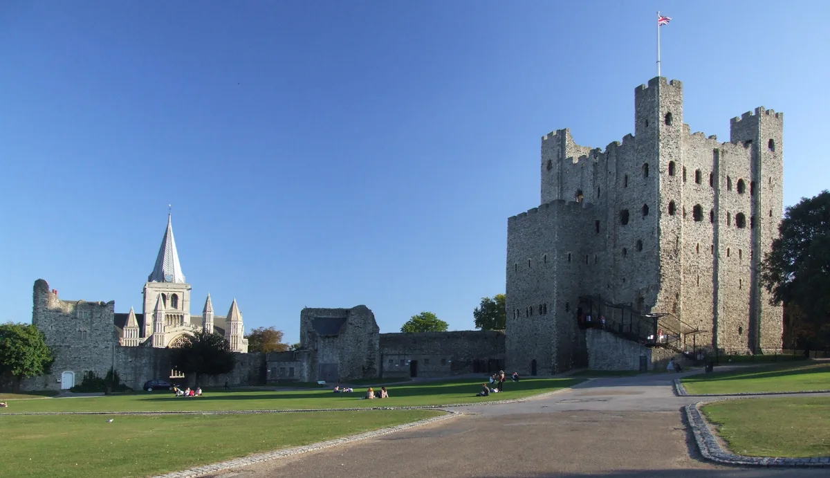
Rochester Castle
Rochester Castle — castle in Rochester, Kent, South East England.
 📷 5
📷 5Castles · South East England
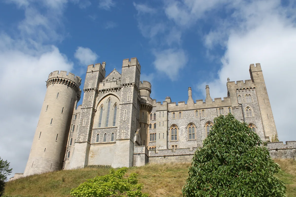
Arundel Castle
Arundel Castle — castle in West Sussex, England, UK.
More castles in this region
 📷 3
📷 3Castles · North West England
Manchester Castle
Manchester Castle — medieval fortified manor house in England.
 📷 5
📷 5Castles · North West England
Mow Cop Castle
Mow Cop Castle — folly on the Cheshire and Staffordshire border, England, UK.
 📷 3
📷 3 📷 3
📷 3Castles · North West England
Ullerwood Castle
Ullerwood Castle — castle in Greater Manchester, England.
Frequently asked questions
- Where is Holt Castle?
- Holt Castle is in North Wales, United Kingdom (postcode LL13 9AZ), in the parish of Holt.
- What is Holt Castle?
- Holt Castle — Grade II* listed building in Wrexham. Castle in Holt, north Wales.
- How do I get to Holt Castle?
- The nearest railway station is Gresford (WDSME), about 6.6 km away. Drivers can use postcode LL13 9AZ.
- When was Holt Castle built?
- Built or established in 1282.
- Is Holt Castle a listed building?
- Holt Castle is officially recognised as scheduled monument listed.
- Is Holt Castle a protected site?
- Yes — Holt Castle is part of the River Dee (England) SSSI Site of Special Scientific Interest.
- Does Holt Castle charge admission?
- Holt Castle typically charges admission. Check the official site for current ticket prices and opening hours.
- How do I get to Holt Castle?
- The nearest railway station is Gresford (WDSME), about 6.6 km away. Drivers can navigate to postcode LL13 9AZ.