
Mountains & hills · South East England
Hog's Back
In or near Farncombe.
Hog's Back — Named summit at 154 m.

Wikimedia Commons contributors — see linked file page for photographer and licence licence

Plan your visit
- Typical visit
- 3 h–8 h
- Best time of year
- Late spring – early autumn (May–Oct)
- Nearest railway station
- Wanborough · 2.6 km
- Free entry
- Dog-friendly
About
Hog's Back is a named summit in the United Kingdom. Wikidata describes it as: "Named summit at 154 m.". Coordinates: 51.2266°, -0.6427°.
Photo gallery
See it from the streetimagery from 2022
Imagery © Mapillary contributors, CC BY-SA 4.0
Protected designations
- Area of Outstanding Natural Beauty: Surrey Hills
Designations sourced from Natural England open data under OGL v3.
From the Wikipedia article
The Hog's Back is a hilly ridge, part of the North Downs in Surrey, England. It runs between Farnham in the west and Guildford in the east.
Excerpt from Wikipedia under CC BY-SA 4.0. See the source article linked in Sources below.
Background
History
The route along the Hog's Back is ancient, since its raised position offered travellers a vantage point and also kept them above the thick ancient woodland of the valleys on either side. It was part of the ancient ridgeway which runs from Wiltshire down to the east coast of Kent. The Hog's Back might have been "the Via Regia of early deeds and Hundred Rolls". The road is part of the highway from London to Winchester. Although there is very little archaeological evidence in support, it has been suggested that a Roman road ran from London to Winchester and that, at this point, it passed, either over the Hog's Back or perhaps a little to the north (e.g. Roman Surrey, David Bird, 2004).…
Sourced from Wikipedia under CC BY-SA 4.0.
- Coordinates
- 51.2266, -0.6427
- County
- Surrey
- District
- Guildford
- Parish
- Compton
- Postcode
- GU3 1DG
- Parliamentary constituency
- Godalming and Ash
- Nearest railway station
- Wanborough — 2.6 km
Sources
- osm: n2099892892 (ODbL)
- wikipedia: Hog's Back (CC BY-SA 4.0)
- commons: North downs way seen from puttenham.jpg (CC BY-SA 4.0)
Other places nearby

Greyfriars
Historic houses · 0.3 km

Watts Studios (Limnerslease)
Galleries · 1.0 km
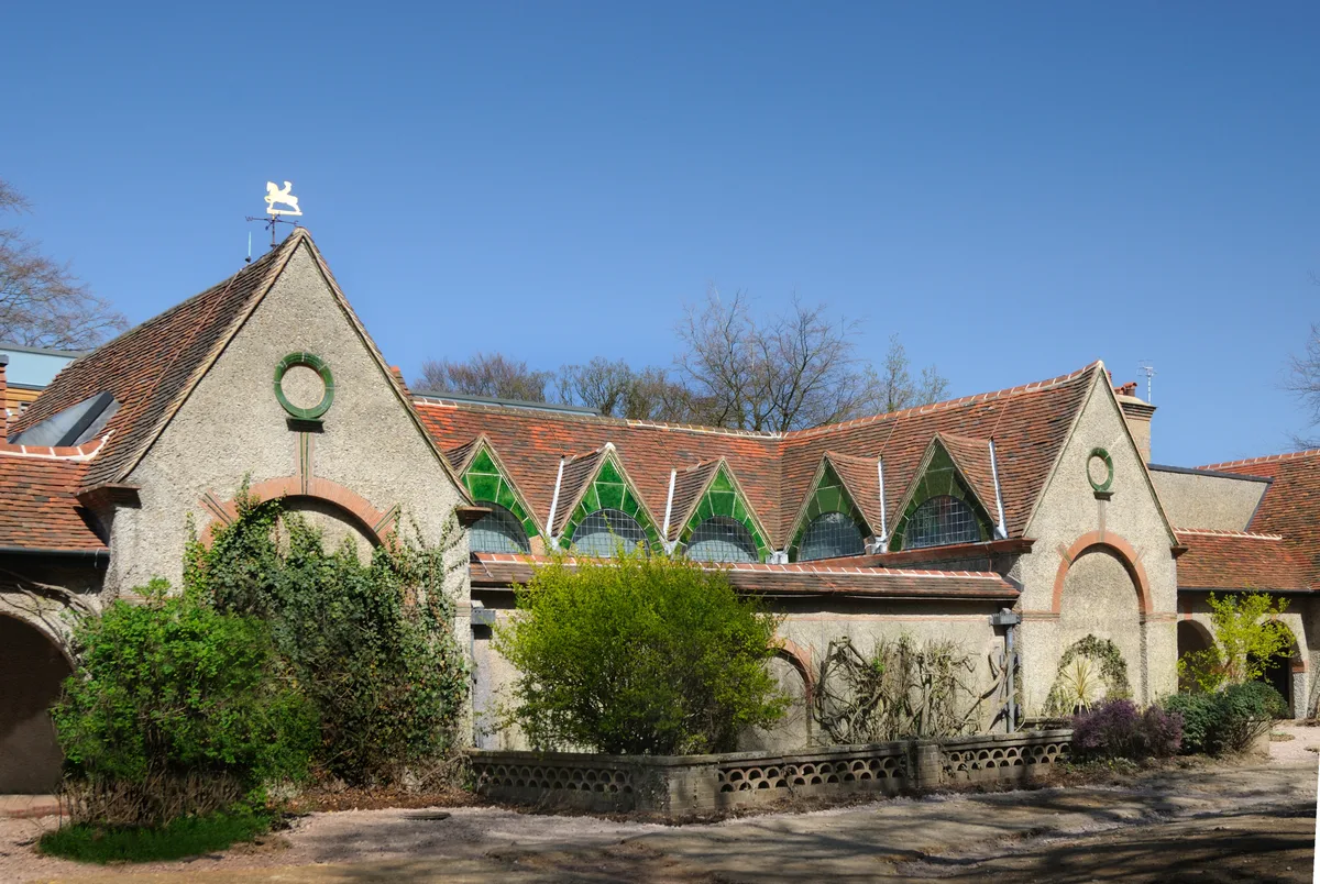
Watts Gallery
Galleries · 1.1 km

Queen Victoria visit
Memorials & monuments · 1.2 km

Watts Mortuary Chapel
Chapels · 1.2 km
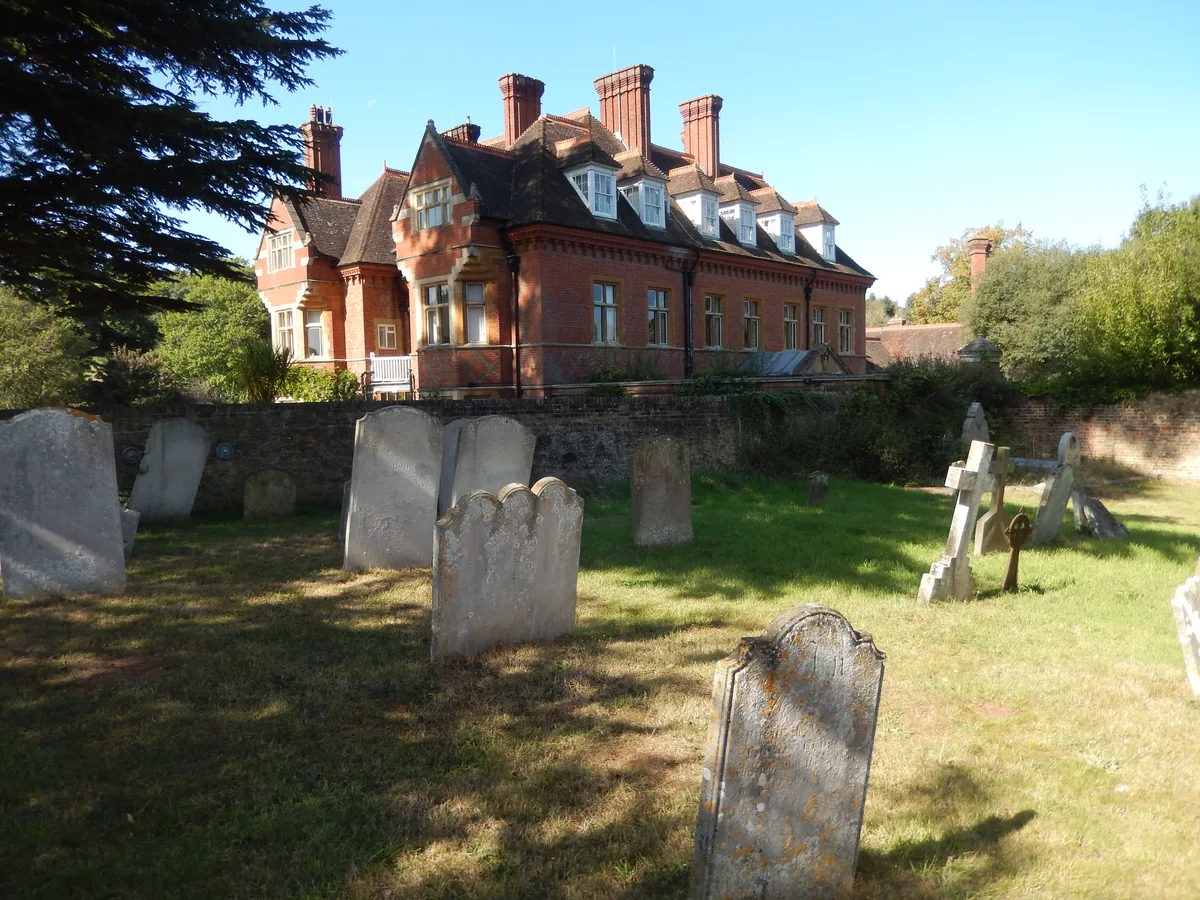
Eastbury Manor
Stately homes · 1.4 km

Compton War Memorial
Memorials & monuments · 1.5 km
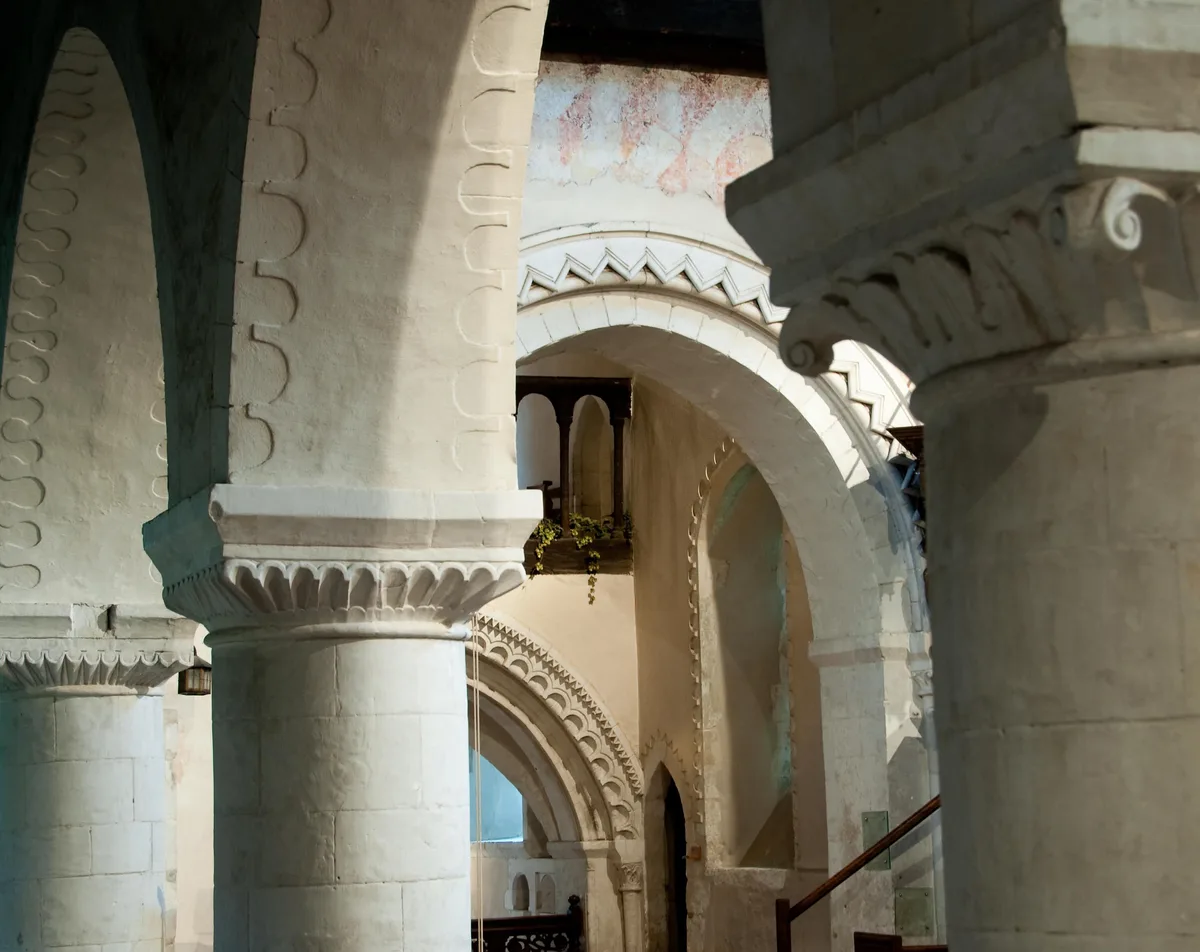
Church of St Nicholas
Historic churches · 1.5 km
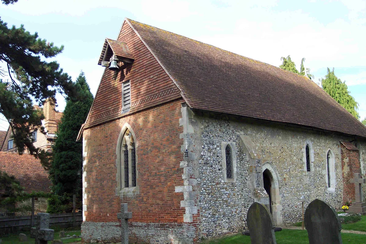
Church of St Bartholomew
Historic churches · 1.5 km
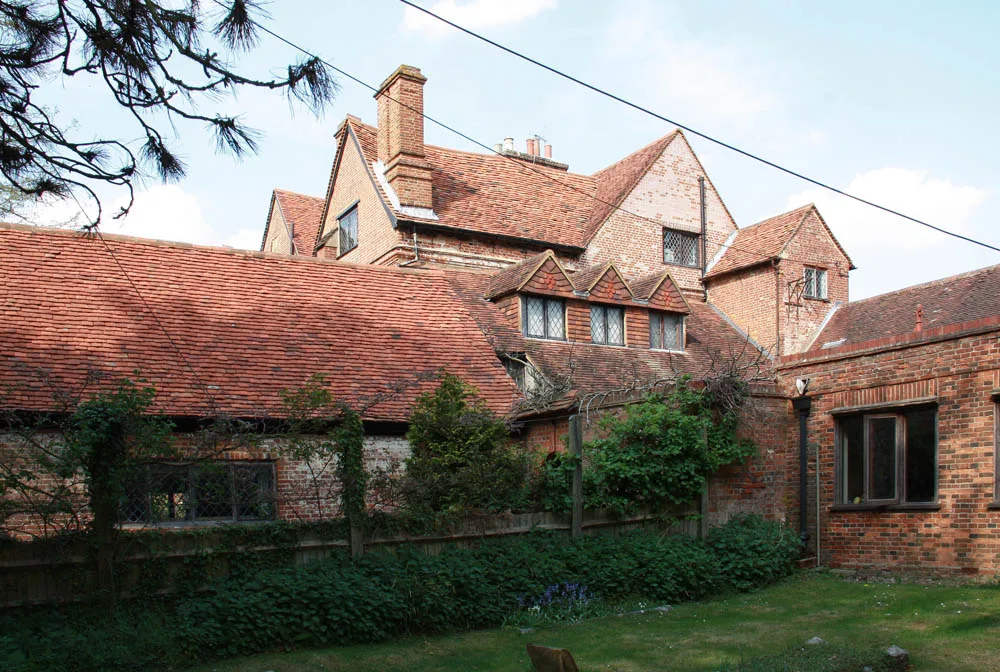
Wanborough Manor
Stately homes · 1.5 km

The Great Barn of Wanborough
Museums · 1.5 km

Compton, Guildford
Museums · 1.6 km
Nearby
📷 5Historic houses · South East England
Greyfriars
Greyfriars — house in Wanborough, Surrey, England, UK.
📷 5Galleries · South East England
Watts Studios (Limnerslease)
Watts Studios (Limnerslease) — a gallery in england-south-east, United Kingdom.
📷 5Galleries · South East England
Watts Gallery
Watts Gallery — art gallery in Compton, United Kingdom.
📷 5Memorials & monuments · South East England
Queen Victoria visit
Queen Victoria visit — a memorial in england-south-east, United Kingdom.
Flagship📷 5Chapels · South East England
Watts Mortuary Chapel
Watts Mortuary Chapel — a Grade I-listed chapel in england-south-east, United Kingdom.
Flagship📷 5Stately homes · South East England
Eastbury Manor
Eastbury Manor — manor house in Compton, Guildford, Surrey, England, UK.
Where to eat & stay near Hog's Back
Places to stay
 📷 5
📷 5Hostels · South East England
Puttenham Barn Bunkhouse
Puttenham Barn Bunkhouse — a hostel in england south east.
 📷 7
📷 7Hotels · South East England
Asperion Hotel
Asperion Hotel — a hotel in england london.
 📷 5
📷 5Campsites · South East England
Waggoners
Waggoners — a campsite in england south east.
 📷 5
📷 5Hotels · South East England
Travelodge Guildford
Travelodge Guildford — a hotel in england london.
 📷 5
📷 5Hotels · South East England
The Kings Arms and Royal Hotel
The Kings Arms and Royal Hotel — a hotel in england south east.
 📷 5
📷 5Places to eat & drink
 📷 5
📷 5Historic pubs · South East England
The Withies Inn
The Withies Inn in England South East, United Kingdom.
 📷 7
📷 7Historic pubs · South East England
Rodboro Buildings
Rodboro Buildings in England South East, United Kingdom.
 📷 5
📷 5Historic pubs · South East England
The Stag on the River
The Stag on the River in England South East, United Kingdom.
 📷 7
📷 7Historic pubs · South East England
The Angel Hotel
The Angel Hotel in England South East, United Kingdom.
 📷 7
📷 7 📷 7
📷 7Historic pubs · South East England
The Richmond Arms Public House
The Richmond Arms Public House in England South East, United Kingdom.
More mountains in this region
 📷 5
📷 5 📷 5
📷 5Mountains & hills · South East England
Reigate Caves
Reigate Caves is a mountain or hill in the United Kingdom.
 📷 5
📷 5Mountains & hills · South East England
North Downs
North Downs — a hill or mountain in england london.
 📷 5
📷 5Mountains & hills · South East England
Blue Bell Hill
Blue Bell Hill — a hill or mountain in england london.
Frequently asked questions
- Where is Hog's Back?
- Hog's Back is in Surrey, South-East England, United Kingdom (postcode GU3 1DG), in the parish of Compton.
- What is Hog's Back?
- Hog's Back — Named summit at 154 m.
- How do I get to Hog's Back?
- The nearest railway station is Wanborough, about 2.6 km away. The nearest town is Farncombe. Drivers can use postcode GU3 1DG.
- Is Hog's Back a protected site?
- Yes — Hog's Back is part of the Surrey Hills National Landscape (AONB).
- Is Hog's Back free to visit?
- Yes, Hog's Back is free to enter.
- How do I get to Hog's Back?
- The nearest railway station is Wanborough, about 2.6 km away. Drivers can navigate to postcode GU3 1DG.