
Mountains & hills · South East England
Hinton Downs
In or near Bishopstone.
Hinton Downs — mountain in england south east. Elevation: 246 m.

Vieve Forward — CC BY-SA 2.0 via Wikimedia Commons licence

Plan your visit
- Typical visit
- 3 h–8 h
- Best time of year
- Late spring – early autumn (May–Oct)
- Nearest railway station
- Lakeside · 8.0 km
- Dog-friendly
About
Hinton Downs is a mountain located in england south east. Elevation: 246 m. A named British peak recorded in OpenStreetMap. Peaks are typically named on Ordnance Survey 1:50k mapping.
Photo gallery
Protected designations
- Area of Outstanding Natural Beauty: Cotswolds
- Area of Outstanding Natural Beauty: North Wessex Downs
Designations sourced from Natural England open data under OGL v3.
Place summary
Hinton Downs is a mountain located in South-East England. It features notable elevation and offers panoramic views of the surrounding landscape. Visitors can expect well-maintained walking trails suitable for various fitness levels. The area is popular for outdoor activities and provides a natural setting for hikers and nature enthusiasts.
AI-generated from the structured facts on this page (operator, designation, listing, era). Not a substitute for visiting.
- Coordinates
- 51.5272, -1.6304
- District
- Swindon
- Parish
- Bishopstone
- Postcode
- SN8 2FS
- Parliamentary constituency
- East Wiltshire
- Nearest railway station
- Lakeside — 8 km
Sources
- osm: n11415767573 (ODbL)
Other places nearby

Lammy Down
Mountains & hills · 1.2 km

Fox Hill
Mountains & hills · 2.1 km

Bishopstone Lynchets
Archaeological sites · 2.2 km

Charlbury Hill
Mountains & hills · 2.3 km
Charlbury Hill
Mountains & hills · 2.3 km

Alfred's Castle
Castles · 2.3 km

Alfred's Castle
Archaeological sites · 2.4 km

Ashdown House
Historic houses · 2.6 km

Little Hinton
Villages · 2.6 km

Bishopstone
Towns & cities · 2.8 km

Bailey Hill
Mountains & hills · 2.8 km

Sugar Hill
Mountains & hills · 2.9 km
Nearby
📷 5Mountains & hills · South East England
Lammy Down
Lammy Down — mountain in england south east. Elevation: 246 m.
📷 5Mountains & hills · South East England
Fox Hill
Fox Hill — mountain in england south east. Elevation: 247 m.
📷 5Archaeological sites · South East England
Bishopstone Lynchets
Bishopstone Lynchets — an archaeological site in South East England, United Kingdom.
📷 5Mountains & hills · South East England
Charlbury Hill
Charlbury Hill — mountain in england south east. Elevation: 253 m. Operated by Ordnance Survey.
📷 5Mountains & hills · South East England
Charlbury Hill
Charlbury Hill — a hill or mountain in england south east.
📷 4Castles · South East England
Alfred's Castle
Alfred's Castle is a small Iron Age hill fort, situated at grid reference SU277822, behind Ashdown Park in the civil parish of Ashbury in Oxfordshire (formerly Berkshire). It lies 2–3 km south of the
Where to eat & stay near Hinton Downs
Places to stay
 📷 5
Campsites · South East England
Farncombe Farm Campsite
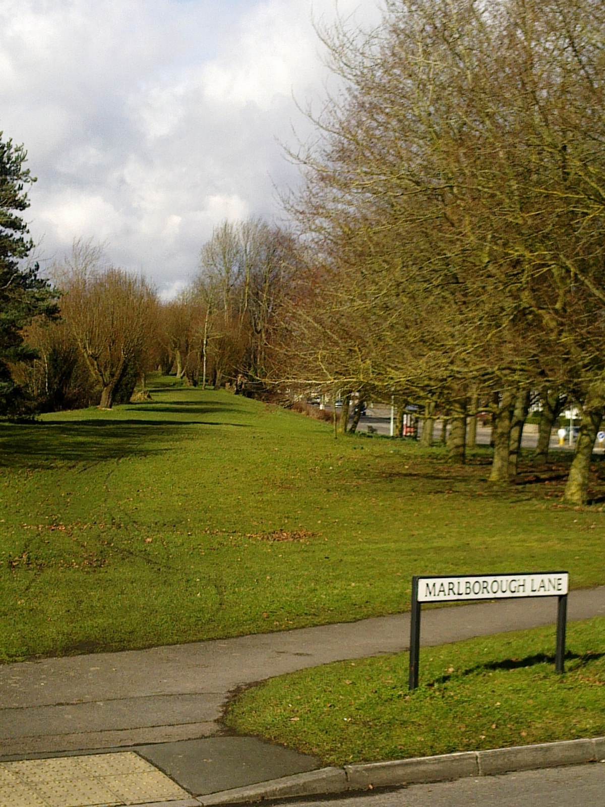
Farncombe Farm Campsite — a campsite in england south east.
 📷 5
Hotels · South East England
Delta Hotels by Marriott
Delta Hotels by Marriott — a hotel in england south east. 4-star. Brand: Delta Hotels.
 📷 7
 📷 5
Campsites · South East England
Oxford Oak Camping
Oxford Oak Camping — a campsite in england west midlands.
📷 5 📷 5
Hotels · South East England
The Great Western Hotel
The Great Western Hotel — a hotel in england south east.
Places to eat & drink
 📷 5
Historic pubs · South West England
Mason Arms Public House West Street House
Mason Arms Public House West Street House in England South West, United Kingdom.
 📷 7
Cafés · South East England
Goodies Café, Lambourn
Goodies Café, Lambourn — a café in england south east.
 📷 5
Historic pubs · South West England
Pig On The Hill Public House
Pig On The Hill Public House in England South West, United Kingdom.
 📷 5
Historic pubs · South East England
The White Hart
The White Hart — Historic pub — listed building or notable heritage status.
 📷 5
Historic pubs · South West England
The Southbrook Inn
The Southbrook Inn in England South West, United Kingdom.
 📷 5
Restaurants · South East England
Kebria Tandoori
Kebria Tandoori — a restaurant in england west midlands.
More mountains in this region
 📷 5
 📷 5
Mountains & hills · South East England
Reigate Caves
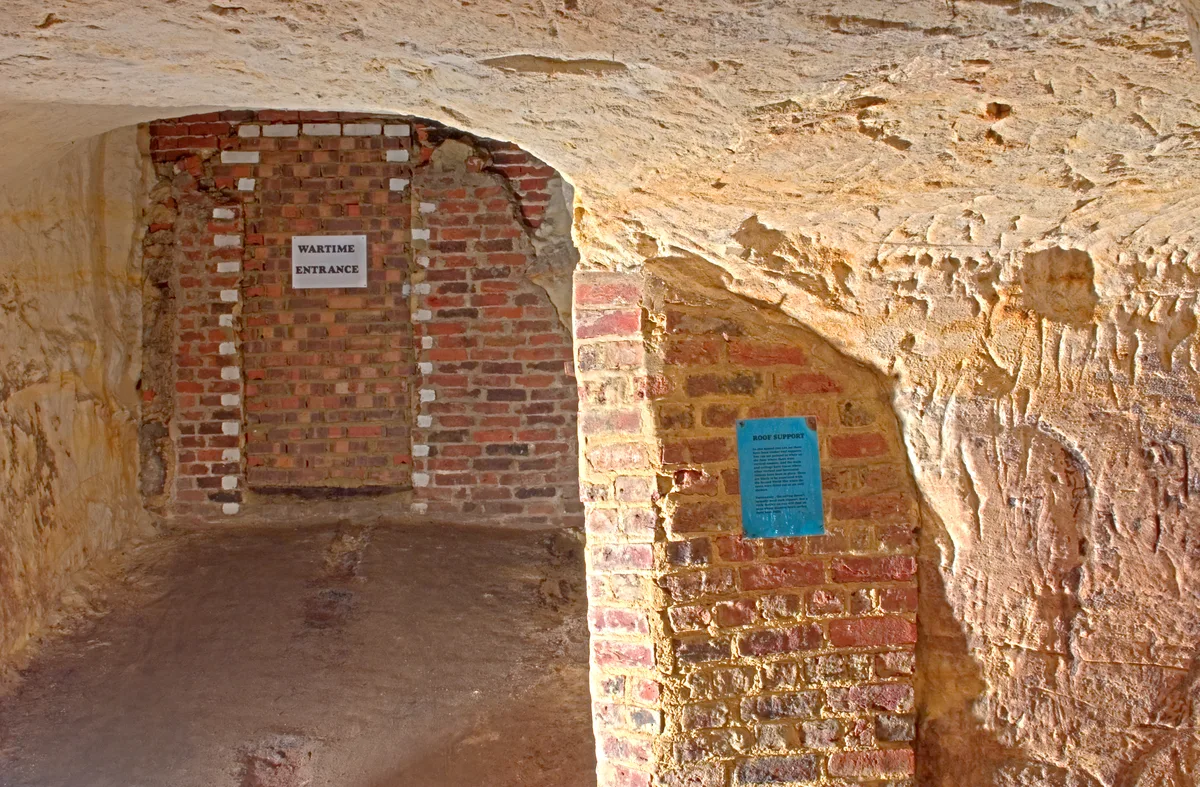
Reigate Caves is a mountain or hill in the United Kingdom.
 📷 5
Mountains & hills · South East England
North Downs
North Downs — a hill or mountain in england london.
 📷 5
Mountains & hills · South East England
Blue Bell Hill
Blue Bell Hill — a hill or mountain in england london.
Frequently asked questions
- Where is Hinton Downs?
- Hinton Downs is in South-East England, United Kingdom (postcode SN8 2FS), in the parish of Bishopstone.
- What is Hinton Downs?
- Hinton Downs — mountain in england south east. Elevation: 246 m.
- How do I get to Hinton Downs?
- The nearest railway station is Lakeside, about 8.0 km away. The nearest town is Bishopstone. Drivers can use postcode SN8 2FS.
- Is Hinton Downs a protected site?
- Yes — Hinton Downs is part of the Cotswolds National Landscape (AONB) and the North Wessex Downs National Landscape (AONB).
- How do I get to Hinton Downs?
- Drivers can navigate to postcode SN8 2FS. It sits within the East Wiltshire parliamentary constituency.