
Mountains & hills · Scottish Highlands
Hill of Clashmadin
In or near Findochty.
Hill of Clashmadin — mountain in scotland highlands. Elevation: 258 m.

thejackrustles — CC BY-SA 2.0 via Wikimedia Commons licence

Plan your visit
- Typical visit
- 3 h–8 h
- Best time of year
- Late spring – early autumn (May–Oct)
- Nearest railway station
- Keith · 9.5 km
- Dog-friendly
About
Hill of Clashmadin is a mountain located in scotland highlands. Elevation: 258 m. A named British peak recorded in OpenStreetMap. Peaks are typically named on Ordnance Survey 1:50k mapping.
Photo gallery
Place summary
Hill of Clashmadin is a mountain located in the Scottish Highlands. This peak offers expansive views of the surrounding landscape, characteristic of the region's rugged terrain. Visitors can expect a natural setting that is ideal for walking and exploring the diverse flora and fauna typical of the Highlands. The area is known for its remote beauty and tranquil atmosphere.
AI-generated from the structured facts on this page (operator, designation, listing, era). Not a substitute for visiting.
- Coordinates
- 57.6286, -2.8845
- District
- Moray
- Postcode
- AB56 5JE
- Parliamentary constituency
- Aberdeenshire North and Moray East
- Nearest railway station
- Keith — 9.5 km
Sources
- osm: n863782144 (ODbL)
Other places nearby

Letterfourie
Villages · 1.1 km

Black Hill
Mountains & hills · 1.1 km

Old Fir Hill
Mountains & hills · 1.3 km
Old Fir Hill
Mountains & hills · 1.4 km

Yellow Pencil
Public art & sculpture · 1.7 km

Addie Hill
Mountains & hills · 2.5 km

Black Hill
Mountains & hills · 2.7 km

Drybridge
Villages · 3.0 km

Hill of Maud
Mountains & hills · 3.0 km

Foudland Hills
Natural landmarks · 3.0 km
Hill of Maud
Mountains & hills · 3.0 km

Berryhillock Mill
Watermills · 3.3 km
Nearby
📷 5📷 5Mountains & hills · Scottish Highlands
Black Hill
Black Hill — mountain in scotland highlands. Elevation: 255 m.
📷 5Mountains & hills · Scottish Highlands
Old Fir Hill
Old Fir Hill — a hill or mountain in scotland highlands.
📷 5Mountains & hills · Scottish Highlands
Old Fir Hill
Old Fir Hill — mountain in scotland highlands. Elevation: 274 m.
📷 3Public art & sculpture · Scottish Highlands
Yellow Pencil
Yellow Pencil — a public art in Scottish Highlands, United Kingdom.
📷 5Mountains & hills · Scottish Highlands
Addie Hill
Addie Hill — mountain in scotland highlands. Elevation: 272 m.
Where to eat & stay near Hill of Clashmadin
Places to stay
 📷 5
Campsites · Scottish Highlands
Greencraig Pods, Caravan & Camping
Greencraig Pods, Caravan & Camping — a campsite in scotland highlands.
 📷 5
Caravan parks · Scottish Highlands
Strathlene Holiday Park
Strathlene Holiday Park — a caravan park in scotland highlands.
 📷 7
Hotels · Scottish Highlands
Cullen Bay Hotel
Cullen Bay Hotel — a hotel in scotland highlands.
 📷 5
Caravan parks · Scottish Highlands
Findochty Caravan Park
Findochty Caravan Park — a caravan park in scotland highlands.
 📷 5
Campsites · Scottish Highlands
Cullen Bay Caravan Park
Cullen Bay Caravan Park — a campsite in scotland highlands.
 📷 5
Campsites · Scottish Highlands
Sandend Caravan Park
Sandend Caravan Park — a campsite in scotland highlands.
Places to eat & drink
 📷 5
Historic pubs · Scottish Highlands
Seafield Arms Hotel, 84, 86 Mid Street, Keith
Seafield Arms Hotel, 84, 86 Mid Street, Keith in Scotland Highlands, United Kingdom.
 📷 5
Historic pubs · Scottish Highlands
Forbes Arms Hotel, Milltown of Rothiemay
Forbes Arms Hotel, Milltown of Rothiemay in Scotland Highlands, United Kingdom.
 📷 7
Historic pubs · Scottish Highlands
Railway Inn, 96 North Castle Street, Banff
Railway Inn, 96 North Castle Street, Banff in Scotland Highlands, United Kingdom.
 📷 7
Historic pubs · Scottish Highlands
The Market Arms, 5 High Shore, Banff
The Market Arms, 5 High Shore, Banff in Scotland Highlands, United Kingdom.
More mountains in this region
 📷 3
Mountains & hills · Scottish Highlands
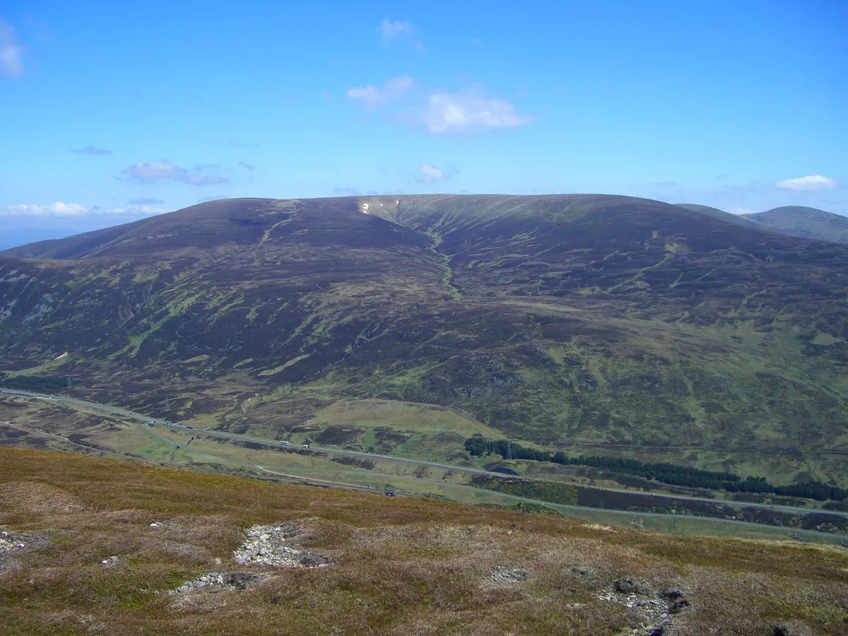
A' Bhuidheanach Bheag
A' Bhuidheanach Bheag — Named summit at 936 m.
 📷 3
Mountains & hills · Scottish Highlands
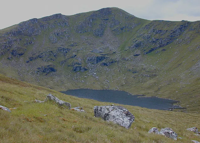
A' Chailleach
A' Chailleach — Named summit at 997 m.
 📷 3
Mountains & hills · Scottish Highlands
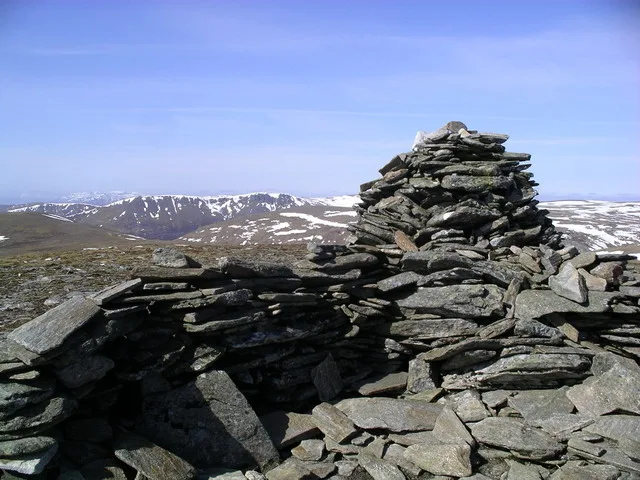
A' Chailleach
A' Chailleach — Named summit at 930 m.
 📷 3
Frequently asked questions
- Where is Hill of Clashmadin?
- Hill of Clashmadin is in the Scottish Highlands, United Kingdom (postcode AB56 5JE).
- What is Hill of Clashmadin?
- Hill of Clashmadin — mountain in scotland highlands. Elevation: 258 m.
- How do I get to Hill of Clashmadin?
- The nearest railway station is Keith, about 9.5 km away. The nearest town is Findochty. Drivers can use postcode AB56 5JE.
- How do I get to Hill of Clashmadin?
- Drivers can navigate to postcode AB56 5JE. It sits within the Aberdeenshire North and Moray East parliamentary constituency.