
Parks · East Midlands
Highfields Park, Nottingham
In or near Gotham.
Highfields Park, Nottingham — park in Nottingham, Nottinghamshire, England, UK.

Wikimedia Commons contributors — see linked file page for photographer and licence licence

Plan your visit
- Typical visit
- 1 h–2 h
- Nearest railway station
- Beeston · 2.3 km
- Free entry
- Family-friendly
- Dog-friendly
- Wheelchair accessible
Getting there & planning your visit
Highfields Park in Nottingham is accessible via Beeston railway station, which is 2.3 km away. Entry to the park is free, and it is wheelchair accessible. The postcode for navigation is NG7 2RD.
About
Highfields Park, Nottingham is a public park in the United Kingdom. Records date its origin to 1920. Heritage designation: Grade II* listed park and garden. Address: NG7 2RD. Wikidata describes it as: "park in Nottingham, Nottinghamshire, England, UK". Coordinates: 52.9381°, -1.1899°.
Photo gallery
Official information
Highfields Park is a large public park in Nottingham, featuring beautiful trees, exotic plants, and various water features. Visitors can enjoy activities such as boating, adventure golf, and a play area for children.
From the Wikipedia article
Highfields Park is Grade II listed park providing 121 acres (49 ha) of public space, in the west of Nottingham, England. It is owned and maintained by Nottingham City Council. It located alongside University Boulevard, adjoining the University of Nottingham's University Park campus. Due to its proximity to the university campus to the north, Highfields Park appears to be a part of the campus itself and therefore many refer to the whole area as University Park. There are historical ties between the park and the campus. The park contains a boating lake, complete with boats to hire throughout the summer months. The cascade and the stepping stones at the western end are Grade II listed. To the south of the lake the Tottle Brook, a tributary of the River Trent, flows on the surface, this brook is culverted for much of its length. At the eastern end there are children's play facilities and a pavilion with a cafe.
Excerpt from Wikipedia under CC BY-SA 4.0. See the source article linked in Sources below.
Background
History
The site, originally part of the Highfields Estate, belonged to Joseph Lowe who along with his son Alfred, developed the site in the late 18th century and were responsible for much of the landscaping that is visible today. In 1789 Joseph Lowe constructed 'Highfield House' which was to be used as his residence. Lowe improved the estate with the creation of a fish pond from the existing Tottle Brook. The Lowes retained ownership up until 1920 when the land was purchased by Sir Jesse Boot (also known as Lord Trent) the founder of the Boot's the Chemist. His intention was to emulate Cadbury's at Bournville and the Levers at Port Sunlight and build high quality homes for his worker in the near…
Description
The park was designed in the valley of the Tottle Brook at the foot of a natural sandstone outcrop. The Tottle brook is used to source an ornamental boating lake; a new channel was dug for the brook to the south of the lake, leading from a culvert in the west to a culvert in the east. The boating lake features an island reached by ornamental bridges, to the west there is a cascade. In front of the cascade, the lake is crossed by a long run of stepping stones. A weir separated this part of the park from the boating. The lake is populated by ornamental carp. To the east, is a lake side terrace and the D. H. Lawrence pavilion with the normal children's play equipment nearby. In the sandstone…
Sourced from Wikipedia under CC BY-SA 4.0.
- Coordinates
- 52.9381, -1.1899
- District
- Nottingham
- Parish
- Nottingham, unparished area
- Postcode
- NG7 2RD
- Parliamentary constituency
- Nottingham South
- Established
- 1920
- Nearest railway station
- Beeston — 2.3 km
- Opening
- 1926 (fully)
- Official site
- www.nottinghamcity.gov.uk
Sources
- wikidata: Q5758520 (CC0)
- wikipedia: Highfields Park, Nottingham (CC BY-SA 4.0)
- commons: Highfields Park Cascade 9121.JPG (CC BY-SA 4.0)
Other places nearby

Djanogly Theatre
Theatres · 0.0 km
Wallner Gallery
Galleries · 0.0 km
Weston Gallery
Galleries · 0.0 km

Eurydice Prevails (2019)
Public art & sculpture · 0.1 km

Nottingham Museum of Archaeology
Museums · 0.1 km

Djanogly Arts Gallery
Museums · 0.2 km

Dinosaur Skeleton
Public art & sculpture · 0.2 km

Keighton
Archaeological sites · 0.2 km

Wings First Concert
Memorials & monuments · 0.3 km

UoN Prayer Room Portland Building
Historic churches · 0.3 km

New Theatre
Open-air theatres · 0.4 km

Bridge, Pedestals And Screen Walls At Entrance To Boating Lake
Historic bridges · 0.4 km
Nearby
📷 3📷 3Galleries · East Midlands
Wallner Gallery
Wallner Gallery — a gallery in East Midlands, United Kingdom.
📷 3Galleries · East Midlands
Weston Gallery
Weston Gallery — a gallery in East Midlands, United Kingdom.
📷 3Public art & sculpture · East Midlands
Eurydice Prevails (2019)
Eurydice Prevails (2019) — a public art in East Midlands, United Kingdom.
📷 3Museums · East Midlands
Nottingham Museum of Archaeology
Nottingham Museum of Archaeology — a museum in East Midlands, United Kingdom.
📷 3Museums · East Midlands
Djanogly Arts Gallery
Djanogly Arts Gallery — a museum in East Midlands, United Kingdom.
Where to eat & stay near Highfields Park, Nottingham
Places to stay
 📷 7
📷 7Hotels · East Midlands
The Walton Hotel
The Walton Hotel — a hotel in england east midlands.
 📷 5
📷 5Hotels · East Midlands
Bentinck Hotel
Bentinck Hotel — a hotel in england east midlands.
 📷 5
📷 5Hostels · East Midlands
Igloo Hybrid
Igloo Hybrid — a hostel in england east midlands.
 📷 5
📷 5Hotels · East Midlands
Lace Market Hotel
Lace Market Hotel — a hotel in england east midlands.
 📷 5
📷 5Hostels · East Midlands
Midtown Hostel
Midtown Hostel — a hostel in england east midlands.
 📷 5
📷 5Hotels · East Midlands
Hilton Nottingham
Hilton Nottingham — a hotel in england east midlands.
Places to eat & drink
 📷 5
📷 5Restaurants · East Midlands
Restaurant Sat Bains
Restaurant Sat Bains — a restaurant in england east midlands.
 📷 5
📷 5 📷 7
📷 7Restaurants · East Midlands
Alchemilla
Alchemilla — a restaurant in england east midlands.
.jpg?width=1200) 📷 3
📷 3Historic pubs · East Midlands
Ye Olde Trip to Jerusalem
Ye Olde Trip to Jerusalem — Historic pub — listed building or notable heritage status.
 ★ Iconic📷 4
Historic pubs · East Midlands
Ye Olde Trip to Jerusalem
The Nottingham pub carved into Castle Rock that claims to date from 1189.
 📷 5
📷 5Historic pubs · East Midlands
Ye Olde Salutation Inn
Ye Olde Salutation Inn in England East Midlands, United Kingdom.
Other parks from this era
 Flagship📷 10
Parks · London
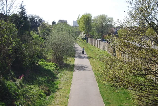
Addiscombe Railway Park
Addiscombe Railway Park — park in London Borough of Croydon, United Kingdom.
 Flagship📷 10
 📷 5
📷 5Parks · London
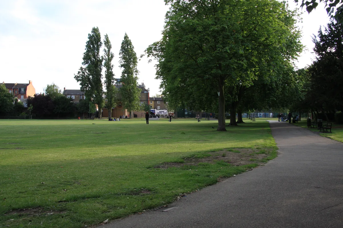
Beckenham Place Park
Beckenham Place Park — park in London Borough of Lewisham, England, UK.
 📷 5
📷 5More parks in this region
 📷 4
📷 4Parks · East Midlands
Bourne Festival
Bourne Festival is an annual music event held in Wellhead Park in the market town of Bourne, Lincolnshire, England. The festival is a charity event organised by Bourne and District Round Table 896, a
 📷 4
📷 4Parks · East Midlands
Millennium Roller Coaster
Millennium (formerly Millennium Roller Coaster) is a roller coaster at Fantasy Island in Ingoldmells, United Kingdom. It was built by Vekoma, a Dutch roller coaster manufacturer, to celebrate the arri
 📷 5
📷 5Parks · East Midlands
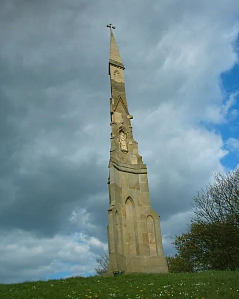
Cholera Monument Grounds and Clay Wood
Cholera Monument Grounds and Clay Wood — park in Sheffield, South Yorkshire, England, UK.
 📷 5
📷 5Parks · East Midlands
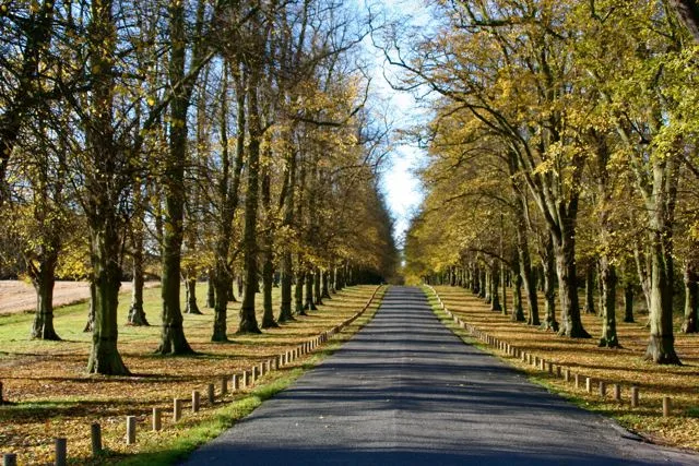
Clumber Park
Clumber Park — estate in Worksop, Nottinghamshire, England, UK.
Frequently asked questions
- Where is Highfields Park, Nottingham?
- Highfields Park, Nottingham is in the East Midlands, United Kingdom (postcode NG7 2RD), in the parish of Nottingham, unparished area.
- What is Highfields Park, Nottingham?
- Highfields Park, Nottingham — park in Nottingham, Nottinghamshire, England, UK.
- How do I get to Highfields Park, Nottingham?
- The nearest railway station is Beeston, about 2.3 km away. The nearest town is Gotham. Drivers can use postcode NG7 2RD.
- When was Highfields Park, Nottingham built?
- Built or established in 1920.
- Who owns Highfields Park, Nottingham?
- Highfields Park, Nottingham is owned by Nottingham City Council.
- Is Highfields Park, Nottingham a listed building?
- Highfields Park, Nottingham is officially recognised as Grade II* listed park and garden listed.
- Is Highfields Park, Nottingham free to visit?
- Yes, Highfields Park, Nottingham is free to enter.
- How do I get to Highfields Park, Nottingham?
- The nearest railway station is Beeston, about 2.3 km away. Drivers can navigate to postcode NG7 2RD.