
Historic bridges · East of England
High Street
In or near Cawston.
High Street is a historic bridge in the United Kingdom.

JThomas — CC BY-SA 2.0 via Wikimedia Commons licence
_-_geograph.org.uk_-_7911474.jpg)
Plan your visit
- Typical visit
- 15 min–30 min
- Nearest railway station
- Aylsham · 6.8 km
- Free entry
- Dog-friendly
Getting there & planning your visit
To visit High Street in Broadland, Norfolk, the nearest railway station is Aylsham, located 6.8 km away. Entry is free, and the postcode for sat-nav is NR10 4BD.
About
High Street is a historic bridge in Norfolk, the East Midlands. The site is within the Norfolk Coast National Landscape (AONB), and is a designated Site of Special Scientific Interest. It sits within the Broadland and Fakenham parliamentary constituency. The nearest railway station is Aylsham, about 6.8 km away. Postcode area NR10.
Photo gallery
Protected designations
- Site of Special Scientific Interest: River Wensum SSSI
- Area of Outstanding Natural Beauty: Norfolk Coast
Designations sourced from Natural England open data under OGL v3.
From the Wikipedia article
High Street is a common street name for the primary business street of a city, town, or village, especially in the United Kingdom and Commonwealth. It implies that it is the focal point for business, especially shopping. It is also a metonym for the retail sector. While many streets, such as Camden High Street (in London), bear this name, streets with similar function but different names are often referred to as "high street". With the rapid increase in consumer expenditure, the number of High Streets in England grew from the 17th century and reached a peak in Victorian Britain, where, drawn to growing towns and cities spurred on by the Industrial Revolution, the rate of urbanisation was unprecedented. Since the latter half of the 20th century, the prosperity of High Streets has been in decline due to the growth of out-of-town shopping centres, and, since the early 21st century, the growth of online retailing, forcing many shop closures and prompting the UK government to consider initiatives to reinvigorate and preserve the High Street. High Street is the most common street name in the UK, which according to a 2009 statistical compilation has 5,410 High Streets, 3,811 Station Roads and 2,702 Main Streets.
Excerpt from Wikipedia under CC BY-SA 4.0. See the source article linked in Sources below.
Background
History
Following the Great Fire of London (1666), the city of London was completely rebuilt. New planning laws, governing rebuilding, designated four types of street based on the size of their carriageways and the types of buildings. Shops were permitted in the principal street or 'high street', but not in the by-lanes or back streets. This may have been based on the need for high visibility in order to regulate retail trade, as well as to avoid congestion in the narrow lanes and back streets. Accordingly, from the 17th century, the term "High Street" gradually assumed a narrower meaning and came to describe thoroughfares with significant retail in large villages and towns. With the rapid increase…
Description
In 2011, business consultant Mary Portas, best known for the TV series Mary Queen of Shops, was commissioned by the UK government to provide an independent review of High Street shopping. The report provided evidence for the decline of High Street precincts such as data indicating that retail spending in High Street shops had fallen to below 50 per cent. Her final report set out a vision for High Streets and a number of recommendations. However, her plan has failed to stem the number of High Street store closures, leaving authorities in a quandary about how to proceed.
Sourced from Wikipedia under CC BY-SA 4.0.
- Coordinates
- 52.7723, 1.1598
- County
- Norfolk
- District
- Broadland
- Parish
- Cawston
- Postcode
- NR10 4BD
- Parliamentary constituency
- Broadland and Fakenham
- Nearest railway station
- Aylsham — 6.8 km
Sources
- osm: w54920152 (ODbL)
- wikipedia: High Street (CC BY-SA 4.0)
Other places nearby

Cawston Village Sign
Public art & sculpture · 0.2 km

Cawston War Memorial
Memorials & monuments · 0.6 km
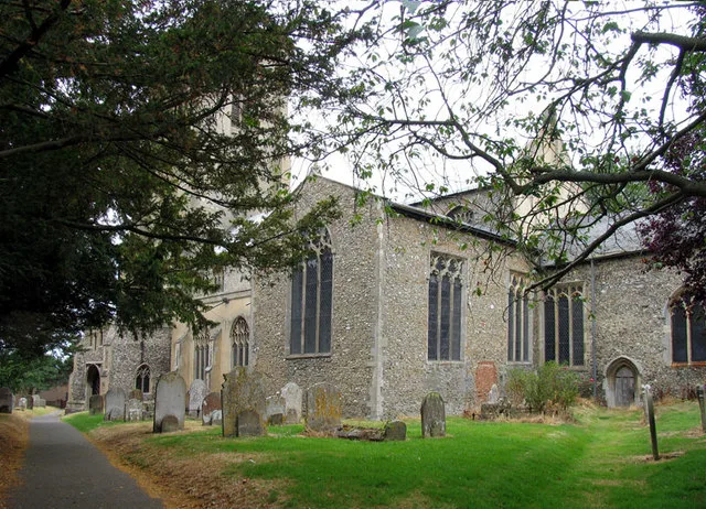
Cawston
Towns & cities · 0.8 km

Martintole Farm
Caravan parks · 1.9 km

St Michael the Archangel's Church, Booton
Historic churches · 1.9 km

The Dueling Stone
Memorials & monuments · 2.1 km

Booton Common
Forests & woodlands · 2.3 km

Salle Village Sign
Public art & sculpture · 2.4 km
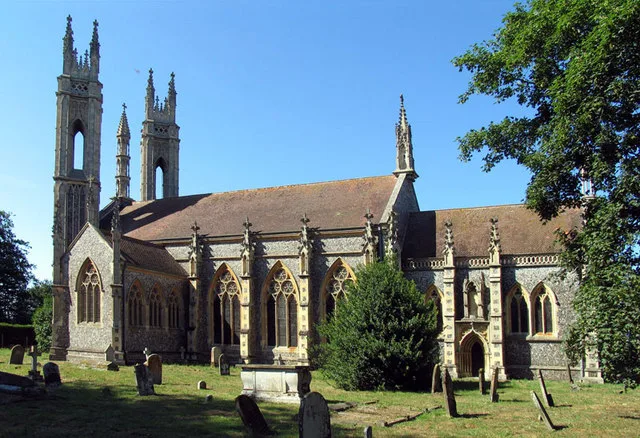
Booton
Towns & cities · 2.6 km
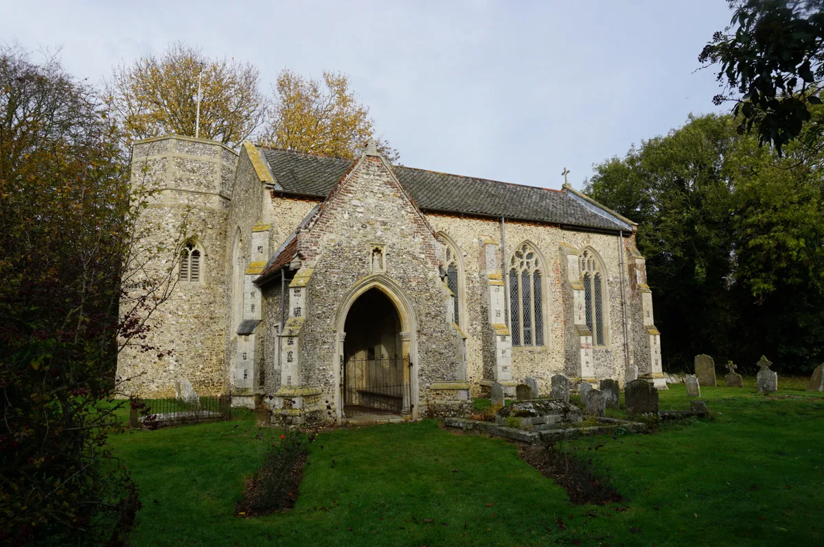
St Nicholas' Church, Brandiston
Historic churches · 2.8 km

Cawston Water Tower
Memorials & monuments · 3.1 km

Moat Island Glamping
Campsites · 3.2 km
Nearby
📷 3Public art & sculpture · East of England
Cawston Village Sign
Cawston Village Sign — a public art in england-east-midlands, United Kingdom.
📷 3Memorials & monuments · East of England
Cawston War Memorial
Cawston War Memorial — Grade II listed building-listed memorial in england-east-midlands, United Kingdom.
Flagship📷 3Towns & cities · East of England
Cawston
Cawston — village and civil parish in Norfolk, England.
📷 5Caravan parks · East of England
Martintole Farm
Martintole Farm — a caravan park in england east midlands.
📷 4Historic churches · East of England
St Michael the Archangel's Church, Booton
St Michael the Archangel's Church, Booton — church in Booton, Norfolk, England, UK.
📷 3Memorials & monuments · East of England
The Dueling Stone
The Dueling Stone is a memorial in the United Kingdom.
Where to eat & stay near High Street
Places to stay
📷 5Caravan parks · East of England
Martintole Farm
Martintole Farm — a caravan park in england east midlands.
📷 5Campsites · East of England
Moat Island Glamping
Moat Island Glamping — a campsite in england east midlands.
📷 5Caravan parks · East of England
Charmbeck Park
Charmbeck Park — a caravan park in england east midlands.
 📷 5
📷 5Campsites · East of England
Whitwell and Reepham Railway Camping
Whitwell and Reepham Railway Camping — a campsite in england east midlands.
 📷 5
📷 5 📷 5
📷 5Places to eat & drink
 📷 5
📷 5 📷 5
📷 5Historic pubs · East of England
Buckinghamshire Arms Public House
Buckinghamshire Arms Public House in England East, United Kingdom.
 📷 5
📷 5Historic pubs · East of England
Saracen's Head
Saracen's Head in England East, United Kingdom.
 📷 5
📷 5Historic pubs · East of England
Black Boys Public House
Black Boys Public House in England East, United Kingdom.
 📷 5
📷 5 📷 7
📷 7Historic pubs · East of England
Recruiting Sergeant Inn
Recruiting Sergeant Inn in England East, United Kingdom.
More bridges in this region
.JPG?width=1200) 📷 5
📷 5Historic bridges · East of England
Albert Bridge
Albert Bridge is a historic bridge in the United Kingdom.
.jpg?width=1200) 📷 5
📷 5Historic bridges · East of England
Bedford Town Bridge
Bedford Town Bridge is a historic bridge in the United Kingdom.
 📷 5
📷 5Historic bridges · East of England
Bethnal Green and King's Lynn Line
Bethnal Green and King's Lynn Line is a historic bridge in the United Kingdom.
 📷 5
📷 5Historic bridges · East of England
Bethnal Green and King's Lynn Line
Bethnal Green and King's Lynn Line is a historic bridge in the United Kingdom.
Frequently asked questions
- Where is High Street?
- High Street is in Norfolk, East of England, United Kingdom (postcode NR10 4BD), in the parish of Cawston.
- What is High Street?
- High Street is a historic bridge in the United Kingdom.
- How do I get to High Street?
- The nearest railway station is Aylsham, about 6.8 km away. The nearest town is Cawston. Drivers can use postcode NR10 4BD.
- Is High Street a protected site?
- Yes — High Street is part of the River Wensum SSSI Site of Special Scientific Interest and the Norfolk Coast National Landscape (AONB).
- Is High Street free to visit?
- Yes, High Street is free to enter.
- How do I get to High Street?
- The nearest railway station is Aylsham, about 6.8 km away. Drivers can navigate to postcode NR10 4BD.