Mountains & hills · North East England
High Leys
High Leys — a hill or mountain in england north east.
David Brown — CC BY-SA 2.0 via Wikimedia Commons licence
Plan your visit
- Typical visit
- 3 h–8 h
- Best time of year
- Late spring – early autumn (May–Oct)
About
A British hill or mountain, named on Ordnance Survey maps and walked by hill-baggers. High Leys is a named hill or mountain in england north east, recorded in the GeoNames UK gazetteer. British landmarks of this type are typically marked on Ordnance Survey maps and recorded in the national gazetteer for cartographic and navigational reference. Coordinates and feature classification are sourced from the GeoNames open dataset.
Photo gallery
Place summary
High Leys is a mountain located in North-East England. It offers a range of outdoor activities and scenic views typical of the region's landscape. Visitors can expect varied terrain suitable for hiking and exploring the natural environment. The area is known for its rugged beauty and opportunities for wildlife observation.
AI-generated from the structured facts on this page (operator, designation, listing, era). Not a substitute for visiting.
- Coordinates
- 54.5611, -3.4632
Sources
- manual: geonames-12615610 (CC BY 4.0)
Other places nearby
Loading nearby places…
Nearby
📷 5Mountains & hills · North East England
High Leys
High Leys — mountain in england north east. Elevation: 211 m.
 📷 3
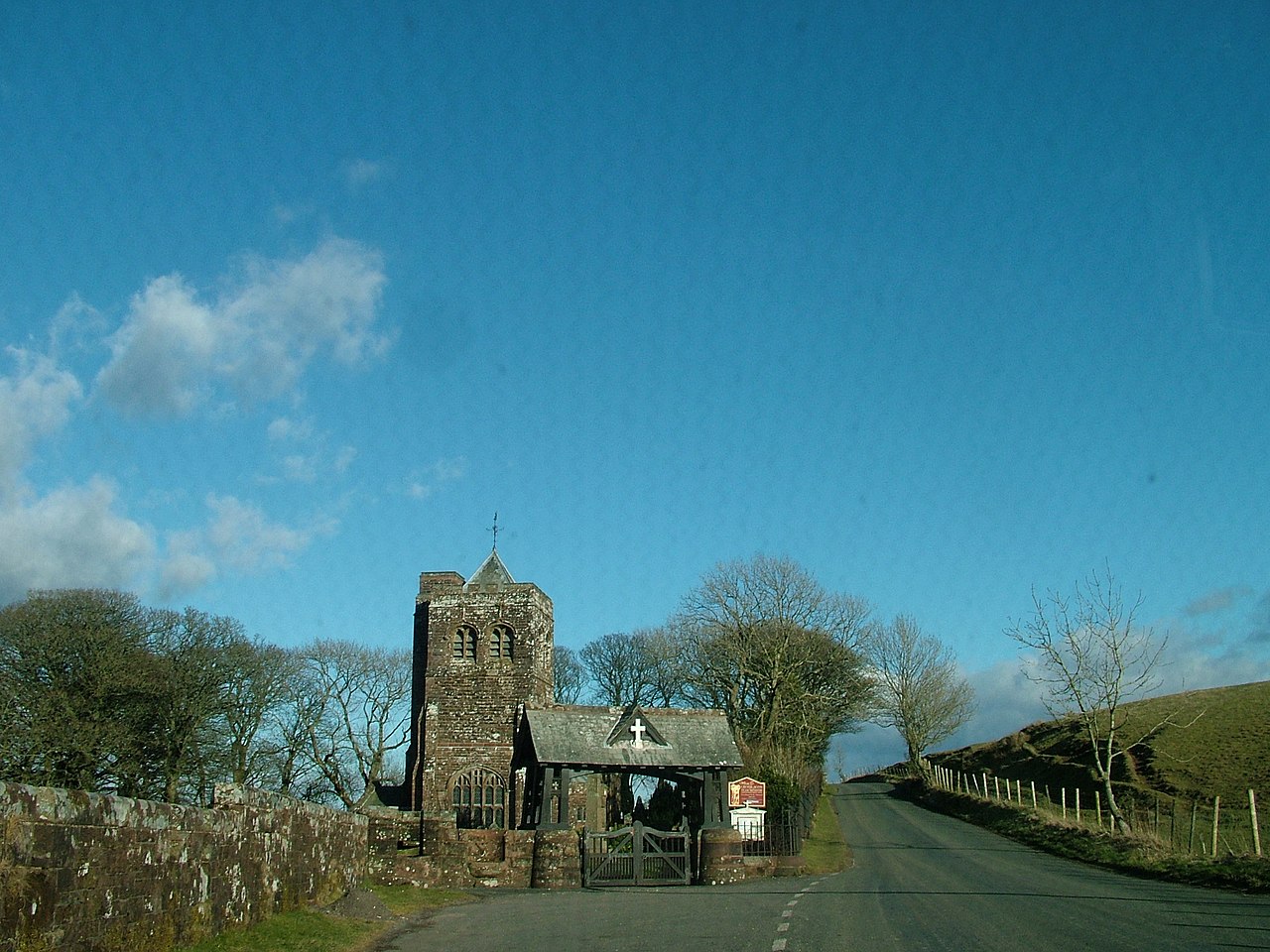
📷 3Memorials & monuments · North East England
War Memorial in St Michael's Churchyard to East of Lych Gate
War Memorial in St Michael's Churchyard to East of Lych Gate — Grade II listed building-listed memorial in england-north-east, United Kingdom.
 📷 5
📷 5Villages · North East England
Rowrah
Rowrah — a village in england north east.
 📷 5
📷 5Villages · North East England
Winder
Winder — a village in england north east.
 📷 3
📷 3Viewpoints · North East England
Kelton Limestone Quarry
Kelton Limestone Quarry is a viewpoint in the United Kingdom.
 📷 5
📷 5Mountains & hills · North East England
High Park
High Park — a hill or mountain in england north east.
Where to eat & stay near High Leys
Places to stay
 📷 5
📷 5Caravan parks · North East England
Inglenook Caravan Park
Inglenook Caravan Park — a caravan park in england north east.
 📷 5
📷 5Hostels · North East England
Scouts - Ennerdale Campsite
Scouts - Ennerdale Campsite — a hostel in england north east.
 📷 5
📷 5Hotels · North East England
Ennerdale Country House Hotel
Ennerdale Country House Hotel — a hotel in england north east.
 📷 5
📷 5Hostels · North East England
Swallow Barn
Swallow Barn — a hostel in england north east.
 📷 5
📷 5B&Bs · North East England
Moresby Hall
Moresby Hall — a bed-and-breakfast in england north east.
 📷 5
📷 5Hotels · North East England
Waverley Hotel
Waverley Hotel — a hotel in england north east.


More mountains in this region
 📷 3
📷 3Mountains & hills · North East England
Angletarn Pikes
Angletarn Pikes — Named summit at 566 m.
 📷 3
📷 3Mountains & hills · North East England
Angletarn Pikes South Top
Angletarn Pikes South Top — Named summit at 563.6 m.
 📷 3
📷 3Mountains & hills · North East England
Ard Crags
Ard Crags — Named summit at 581 m.
 📷 3
📷 3Mountains & hills · North East England
Arnison Crag
Arnison Crag — Named summit at 433 m.
Frequently asked questions
- Where is High Leys?
- High Leys is in North-East England, United Kingdom.
- What is High Leys?
- High Leys — a hill or mountain in england north east.
- How do I get to High Leys?
- Its coordinates are 54.5611°, -3.4632°.