
Villages · South West England
High Bray
In or near Brayford.
High Bray — a village in england south west.

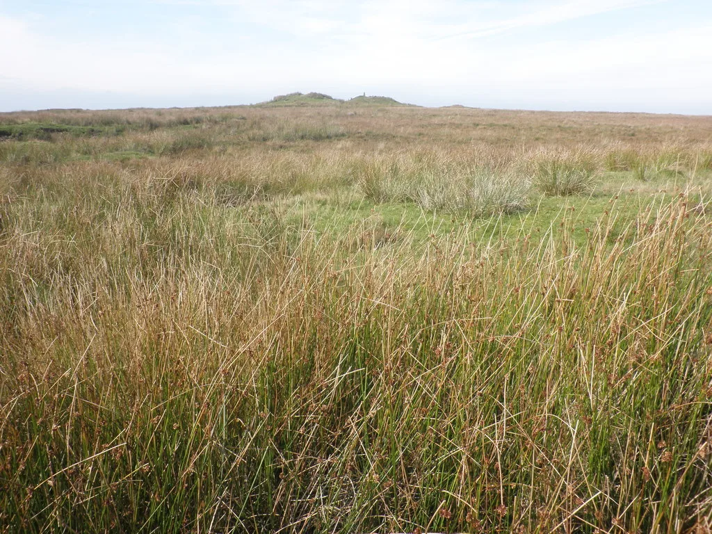
Dave Kelly — CC BY-SA 2.0 via Wikimedia Commons licence

Plan your visit
- Typical visit
- 1 h–2 h
About
A British village — settlements of this size traditionally cluster a green, parish church, pub and post office around historic land routes.
Photo gallery
Place summary
High Bray is a village located in South-West England. It offers a typical rural English setting, characterised by traditional architecture and surrounding countryside. Visitors can expect a quiet atmosphere, with opportunities for walking and exploring the local landscape. The village reflects the charm of the region, making it a suitable stop for those travelling through South-West England.
AI-generated from the structured facts on this page (operator, designation, listing, era). Not a substitute for visiting.
- Coordinates
- 51.0917, -3.8734
- County
- Devon
- District
- North Devon
- Parish
- Brayford
- Postcode
- EX32 7QL
- Parliamentary constituency
- North Devon
Sources
- manual: geonames-2646978 (CC BY 4.0)
Other places nearby

Church of All Saints
Historic churches · 0.2 km

Brayford
Towns & cities · 0.5 km
High Bray Hill
Mountains & hills · 0.7 km

Charles
Villages · 1.5 km

Mockham Down
Mountains & hills · 2.7 km

Camp on Mockham Down
Vineyards · 2.8 km

East Buckland
Villages · 3.2 km

Brayley Hill
Mountains & hills · 3.7 km

Steep Head
Mountains & hills · 3.9 km

West Buckland
Villages · 4.1 km

Camp S of Birch Ham Wood
Vineyards · 4.2 km
Five Barrows', group of eight barrows
Archaeological sites · 5.1 km
Nearby
📷 5Historic churches · South West England
Church of All Saints
Church of All Saints — historic church in Brayford, North Devon, England, UK.
📷 5📷 5Mountains & hills · South West England
High Bray Hill
High Bray Hill — a hill or mountain in england south west.
📷 5📷 5Mountains & hills · South West England
Mockham Down
Mockham Down — a hill or mountain in england south west.
📷 5Vineyards · South West England
Camp on Mockham Down
Camp on Mockham Down — a UK vineyard in england south west, producing English or Welsh wine from cool-climate grape varieties.
Where to eat & stay near High Bray
Places to stay
 📷 5
📷 5 📷 5
📷 5Campsites · South West England
Greenacres Touring Caravan Park
Greenacres Touring Caravan Park — a campsite in england south west.
 📷 5
📷 5Hostels · South West England
Pinkery Farm (Expedition Centre)
Pinkery Farm (Expedition Centre) — a hostel in england south west.
 📷 5
📷 5Caravan parks · South West England
Riverside Camping & Caravan Park
Riverside Camping & Caravan Park — a caravan park in england south west.
 📷 5
📷 5Campsites · South West England
South Town Farm Campsite
South Town Farm Campsite — a campsite in england south west.
 📷 7
📷 7Hotels · South West England
George Hotel
George Hotel — a hotel in england south west.
Places to eat & drink
 📷 7
📷 7Historic pubs · South West England
Kings Arms Public House
Kings Arms Public House in England South West, United Kingdom.
 📷 5
📷 5Restaurants · South West England
Barum Gate
Barum Gate — a restaurant in england south west. Cuisine: british. Brand: Table Table.
 📷 5
📷 5Historic pubs · South West England
Marshals Public House
Marshals Public House in England South West, United Kingdom.
 📷 5
📷 5Historic pubs · South West England
Royal Exchange Public House
Royal Exchange Public House in England South West, United Kingdom.
 📷 6
📷 6Historic pubs · South West England
Three Tuns Inn
Three Tuns Inn in England South West, United Kingdom.
 📷 5
📷 5Historic pubs · South West England
The London Inn
The London Inn in England South West, United Kingdom.
More places in this region
 📷 5
📷 5 📷 5
📷 5 📷 5
📷 5 📷 5
📷 5Frequently asked questions
- Where is High Bray?
- High Bray is in Devon, South-West England, United Kingdom (postcode EX32 7QL), in the parish of Brayford.
- What is High Bray?
- High Bray — a village in england south west.
- How do I get to High Bray?
- Drivers can use postcode EX32 7QL.
- How do I get to High Bray?
- Drivers can navigate to postcode EX32 7QL. It sits within the North Devon parliamentary constituency.