
Hill forts · Scottish Lowlands
High Banks
High Banks — cup and ring marked stones in Dumfries and Galloway, Scotland, UK.

Wikimedia Commons contributors — see linked file page for photographer and licence licence

Plan your visit
- Typical visit
- 1 h–2 h
- Free entry
- Dog-friendly
About
High Banks is a hill fort in the United Kingdom. Heritage designation: scheduled monument. Wikidata describes it as: "cup and ring marked stones in Dumfries and Galloway, Scotland, UK". Coordinates: 54.8188°, -4.0105°.
Photo gallery
From the Wikipedia article
The High Banks cup and ring markings are a series of Neolithic or Bronze Age carvings on an outcrop of rock near High Banks farm, 3 km SE of Kirkcudbright, Dumfries and Galloway. They are one of the best collections of cup and ring markings in Galloway.
Excerpt from Wikipedia under CC BY-SA 4.0. See the source article linked in Sources below.
- Coordinates
- 54.8188, -4.0105
- District
- Dumfries and Galloway
- Postcode
- DG6 4QB
- Parliamentary constituency
- Dumfries and Galloway
Sources
- wikidata: Q1569365 (CC0)
- wikipedia: High Banks cup and ring markings (CC BY-SA 4.0)
- commons: Cup and ring markings - geograph.org.uk - 793177.jpg (CC BY-SA 4.0)
Other places nearby
Loading nearby places…
Nearby
 📷 4
📷 4Vineyards · Scottish Lowlands
High Fort, North Milton
High Fort, North Milton — a UK vineyard in scotland lowlands, producing English or Welsh wine from cool-climate grape varieties.
 📷 3
📷 3Archaeological sites · Scottish Lowlands
Castlecreavie Fort/Settlement
Castlecreavie Fort/Settlement — a archaeological in scotland-lowlands, United Kingdom.
 📷 4
📷 4Vineyards · Scottish Lowlands
Castlecreavie
Castlecreavie — a UK vineyard in scotland lowlands, producing English or Welsh wine from cool-climate grape varieties.
 📷 3
📷 3Archaeological sites · Scottish Lowlands
Castlecreavie Dun
Castlecreavie Dun — a archaeological in scotland-lowlands, United Kingdom.
 📷 5
📷 5Vineyards · Scottish Lowlands
Doon Hill, Balig
Doon Hill, Balig — a UK vineyard in scotland lowlands, producing English or Welsh wine from cool-climate grape varieties.
 📷 4
📷 4Vineyards · Scottish Lowlands
Meikle Sypland
Meikle Sypland — a UK vineyard in scotland lowlands, producing English or Welsh wine from cool-climate grape varieties.
More places in this region
 📷 3
📷 3Hill forts · Scottish Lowlands
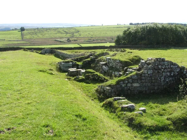
Aesica
Aesica — Roman fort, archaeological site in Northumberland, England, UK.
 📷 3
📷 3Hill forts · Scottish Lowlands
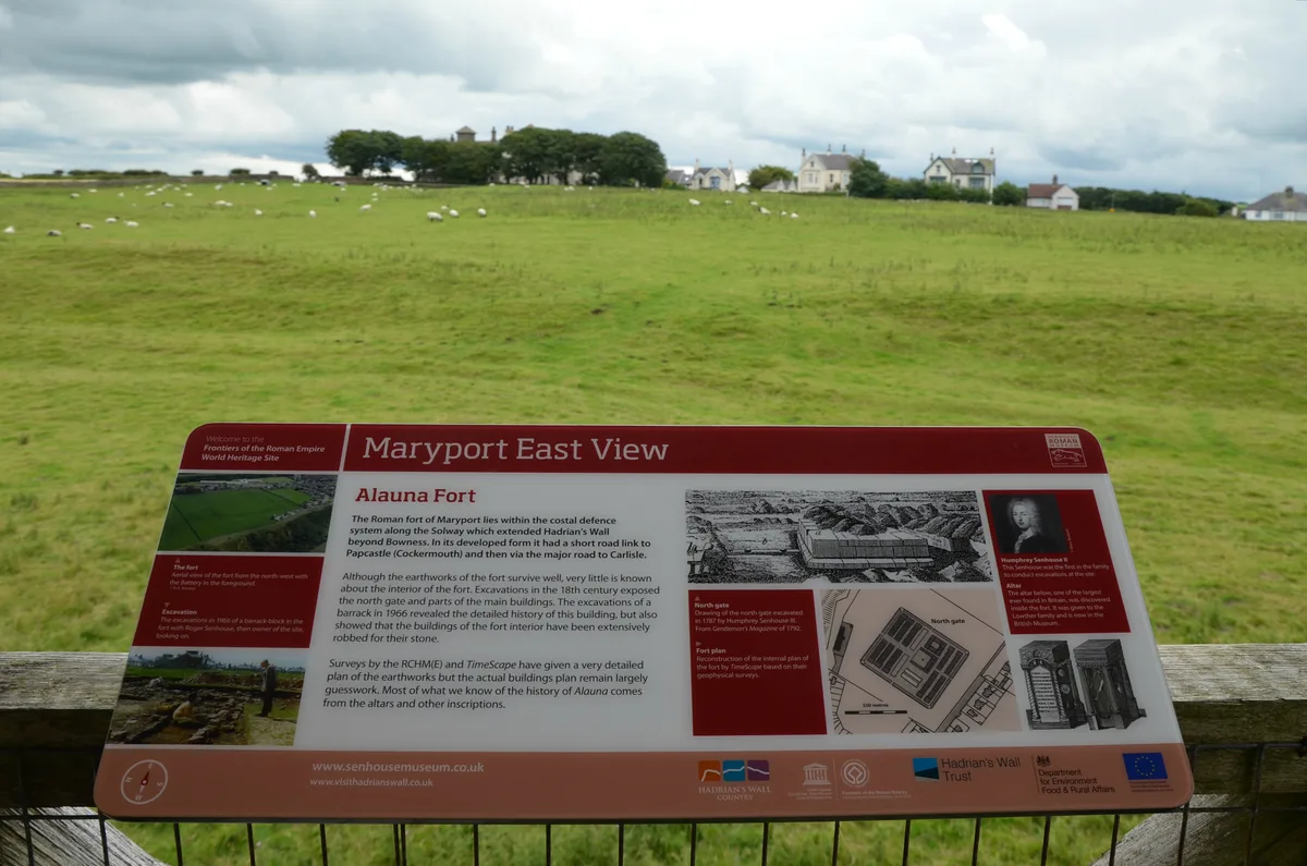
Alauna
Alauna — Roman fort and settlement on the site of present-day Maryport in Cumbria, England, UK.
 📷 4
📷 4Hill forts · Scottish Lowlands
Carrawburgh
Carrawburgh — Roman fort in Northumberland, England, UK.
 📷 3
📷 3Hill forts · Scottish Lowlands
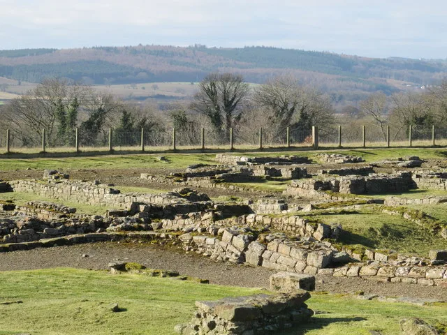
Coria
Coria — archaeological site in Corbridge, Northumberland, England, UK.
Frequently asked questions
- Where is High Banks?
- High Banks is in the Scottish Lowlands, United Kingdom (postcode DG6 4QB).
- What is High Banks?
- High Banks — cup and ring marked stones in Dumfries and Galloway, Scotland, UK.
- How do I get to High Banks?
- Drivers can use postcode DG6 4QB.
- Is High Banks a listed building?
- High Banks is officially recognised as scheduled monument listed.
- Is High Banks free to visit?
- Yes, High Banks is free to enter.
- How do I get to High Banks?
- Drivers can navigate to postcode DG6 4QB. It sits within the Dumfries and Galloway parliamentary constituency.