
Villages · South East England
Henley
In or near Lodsworth.
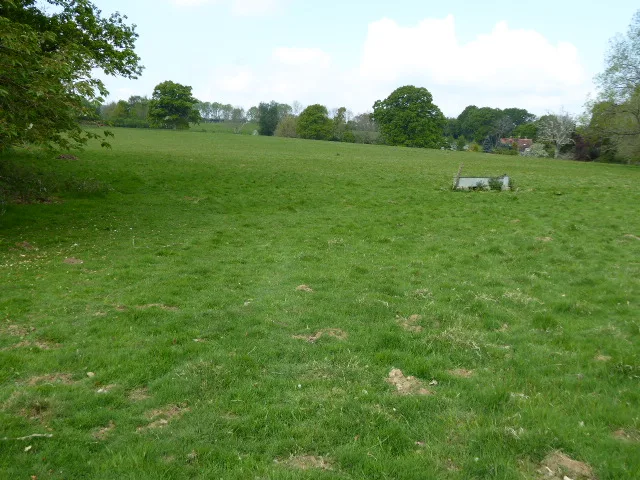
Henley — a village in england south east.

Peter le Page — CC BY-SA 2.0 via Wikimedia Commons licence

Plan your visit
- Typical visit
- 1 h–2 h
- Nearest railway station
- Holycombe Junction · 5.7 km
About
A British village — settlements of this size traditionally cluster a green, parish church, pub and post office around historic land routes.
Photo gallery
Protected designations
- Site of Special Scientific Interest: Northpark Copse to Snapelands Copse SSSI
Designations sourced from Natural England open data under OGL v3.
Place summary
Henley is a village located in South-East England. It is known for its picturesque setting and traditional architecture. The village offers a glimpse into rural English life, featuring local shops and community amenities. Visitors can expect a tranquil atmosphere, making it suitable for leisurely strolls and exploration of the surrounding countryside.
AI-generated from the structured facts on this page (operator, designation, listing, era). Not a substitute for visiting.
- Coordinates
- 51.0167, -0.7333
- County
- West Sussex
- District
- Chichester
- Parish
- Easebourne
- Postcode
- GU29 0FB
- Parliamentary constituency
- Arundel and South Downs
- Nearest railway station
- Holycombe Junction — 5.7 km
Sources
- manual: geonames-2647104 (CC BY 4.0)
Other places nearby

The Duke Of Cumberland Public House
Historic pubs · 1.0 km

Verdley Castle
Castles · 1.7 km

Fernhurst Research Station
Gardens · 1.8 km

Midhurst Intermediate School
Natural landmarks · 2.1 km
Cooksbridge Meadow
Wildlife reserves · 2.1 km

Page's Stores The White Horse Inn
Historic pubs · 2.3 km

Telegraph Hill
Mountains & hills · 2.4 km

The Refectory
Historic houses · 2.5 km

Cowdray Park
Castles · 2.6 km

Cowdray Model Farm
Zoos & aquariums · 2.6 km

Older Hill Spur
Viewpoints · 2.7 km

Woolbeding House
Gardens · 2.7 km
Nearby
📷 5Historic pubs · South East England
The Duke Of Cumberland Public House
The Duke Of Cumberland Public House in England South East, United Kingdom.
📷 3📷 5Gardens · South East England
Fernhurst Research Station
Fernhurst Research Station — a garden in england-south-east, United Kingdom.
📷 5Natural landmarks · South East England
Midhurst Intermediate School
Midhurst Intermediate School — a school heritage in england-south-east, United Kingdom.
📷 5Wildlife reserves · South East England
Cooksbridge Meadow
Cooksbridge Meadow is a wildlife reserve in the United Kingdom.
📷 5Historic pubs · South East England
Page's Stores The White Horse Inn
Page's Stores The White Horse Inn in England South East, United Kingdom.
Where to eat & stay near Henley
Places to stay
 📷 5
 📷 5
Hotels · South East England
Spread Eagle Hotel
Spread Eagle Hotel — a hotel in england south east.
 📷 5
Campsites · South East England
Hazelbank Farm
Hazelbank Farm — a campsite in england south east.
 📷 5
 📷 5
Campsites · South East England
Graffham Camping and Caravanning Club Site
Graffham Camping and Caravanning Club Site — a campsite in england south east.
 📷 5
Hotels · South East England
Georgian House Hotel
Georgian House Hotel — a hotel in england south east.
Places to eat & drink
📷 5Historic pubs · South East England
The Duke Of Cumberland Public House
The Duke Of Cumberland Public House in England South East, United Kingdom.
📷 5Historic pubs · South East England
Page's Stores The White Horse Inn
Page's Stores The White Horse Inn in England South East, United Kingdom.
 📷 5
Historic pubs · South East England
The Hollist Arms Public House
The Hollist Arms Public House in England South East, United Kingdom.
 📷 7
Historic pubs · South East England
Keepers Arms
Keepers Arms — Historic pub — listed building or notable heritage status.
 📷 5
Historic pubs · South East England
The Staff Of Life Public House
The Staff Of Life Public House in England South East, United Kingdom.
 📷 5
Historic pubs · South East England
The Foresters Public House
The Foresters Public House in England South East, United Kingdom.
More places in this region
 📷 5
 📷 5
 📷 5
 📷 5
Frequently asked questions
- Where is Henley?
- Henley is in West Sussex, South-East England, United Kingdom (postcode GU29 0FB), in the parish of Easebourne.
- What is Henley?
- Henley — a village in england south east.
- How do I get to Henley?
- The nearest railway station is Holycombe Junction, about 5.7 km away. The nearest town is Lodsworth. Drivers can use postcode GU29 0FB.
- Is Henley a protected site?
- Yes — Henley is part of the Northpark Copse to Snapelands Copse SSSI Site of Special Scientific Interest.
- How do I get to Henley?
- The nearest railway station is Holycombe Junction, about 5.7 km away. Drivers can navigate to postcode GU29 0FB.