
Gardens · East of England
Hempstead Watermill
In or near Plumstead.
Hempstead Watermill — a garden in england-east-midlands, United Kingdom.

JThomas — CC BY-SA 2.0 via Wikimedia Commons licence

Plan your visit
- Typical visit
- 1 h–2.5 h
- Best time of year
- Spring & summer (Apr–Sep)
- Nearest railway station
- Holt · 1.7 km
- Dog-friendly
About
Hempstead Watermill is a garden of interest in england-east-midlands, United Kingdom — drawn from open-data sources for visitor reference. See the linked Wikipedia article for the full description.
Photo gallery
Protected designations
- Area of Outstanding Natural Beauty: Norfolk Coast
Designations sourced from Natural England open data under OGL v3.
From the Wikipedia article
Hempstead Watermill is a disused watermill 1.7 miles south east of the town of Holt in the English county of Norfolk. The mill stands on the River Glaven and the lane between Holt and the village of Hempstead. The mill was built in 1830 by Richard John Gurney and was originally called Holt Watermill.
Excerpt from Wikipedia under CC BY-SA 4.0. See the source article linked in Sources below.
Background
History
Hempstead Watermill was powered by the use of a water wheel until 1905 when the wheel was removed and replaced with a more efficient turbine. The turbine was controlled by a sluice which was also installed at the time. At the time of these changes the mill had five sources of water. They were the upper pond which was swept away in floods in 1912, Old Decoy now called Selbrigg Pond, New Decoy and Horsepit Pond. This last pond was originally the farm horse pond for near-by Red House Farm, the pond was supplemented with water that was runoff from the farm and its buildings. A sluice had been added to the pond in order to increase the water in the mill pond. Even then the mill only had enough…
Description
The watermill and its adjoining mill house are constructed from local brick and flint and the buildings have red Norfolk pantiled roofs. The river Glaven was dammed and a large mill pond stands directly behind the mill.
Sourced from Wikipedia under CC BY-SA 4.0.
- Coordinates
- 52.8991, 1.1129
- County
- Norfolk
- District
- North Norfolk
- Parish
- Hempstead
- Postcode
- NR25 6JY
- Parliamentary constituency
- North Norfolk
- Established
- 1830
- Nearest railway station
- Holt — 1.7 km
Sources
- wikidata: Q5712749 (CC0)
- wikipedia: Hempstead Watermill (CC BY-SA 4.0)
Other places nearby

Hempstead Post Mill
Archaeological sites · 0.7 km
Hempstead Village Sign
Public art & sculpture · 0.7 km

Hempstead Hall
Caravan parks · 0.8 km

Holt Country Park
Country parks · 1.3 km

Lose Hall
Archaeological sites · 1.4 km

Auden Theatre
Theatres · 1.5 km

Holt, Norfolk
Museums · 1.5 km
Theatre in the Woods
Theatres · 1.6 km
.jpg?width=1200)
School House
Historic houses · 1.7 km

Holt War Memorial
Memorials & monuments · 1.7 km

Holt railway station (North Norfolk Railway)
Heritage railway stations · 1.7 km

Red Dot Gallery
Galleries · 1.7 km
Nearby
📷 3Archaeological sites · East of England
Hempstead Post Mill
Hempstead Post Mill — a archaeological in england-east-midlands, United Kingdom.
📷 3Public art & sculpture · East of England
Hempstead Village Sign
Hempstead Village Sign — a public art in england-east-midlands, United Kingdom.
📷 5Caravan parks · East of England
Hempstead Hall
Hempstead Hall — a caravan park in england east midlands.
📷 3Country parks · East of England
Holt Country Park
Holt Country Park — a country park in england-east-midlands, United Kingdom.
📷 3Archaeological sites · East of England
Lose Hall
Lose Hall — a archaeological in england-east-midlands, United Kingdom.
📷 3Where to eat & stay near Hempstead Watermill
Places to stay
📷 5Caravan parks · East of England
Hempstead Hall
Hempstead Hall — a caravan park in england east midlands.
 📷 5
📷 5Caravan parks · East of England
Whitehouse Farm
Whitehouse Farm — a caravan park in england east midlands.
 📷 5
📷 5Caravan parks · East of England
Hawthorn Farm
Hawthorn Farm — a caravan park in england east midlands.
 📷 2
📷 2 📷 5
📷 5Campsites · East of England
Baconsthorpe Meadows
Baconsthorpe Meadows — a campsite in england east midlands.
 📷 5
📷 5Caravan parks · East of England
Blickling Caravan Site
Blickling Caravan Site — a caravan park in england east midlands.
Places to eat & drink
 📷 5
📷 5Historic pubs · East of England
White Horse Public House
White Horse Public House in England East, United Kingdom.
 📷 5
📷 5 📷 5
📷 5 📷 5
📷 5Historic pubs · East of England
Saracen's Head
Saracen's Head in England East, United Kingdom.
 📷 5
📷 5Historic pubs · East of England
Black Boys Public House
Black Boys Public House in England East, United Kingdom.
 📷 5
📷 5More gardens in this region
 Flagship📷 10
Gardens · East of England
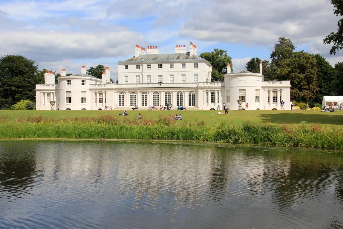
Frogmore Estate
Frogmore Estate — private gardens within the grounds of the Home Park, adjoining Windsor Castle in Berkshire, England, UK.
 Flagship📷 10
Gardens · East of England
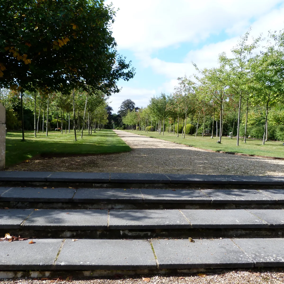
Stoke Poges Memorial Gardens
Stoke Poges Memorial Gardens — garden in Stoke Poges, Buckinghamshire, England, UK.
.jpg?width=1200) 📷 5
📷 5Gardens · East of England
Benington Lordship
Benington Lordship — country house in Hertfordshire, England, UK.
 📷 5
📷 5Gardens · East of England
Broadway
Broadway — road and green space in Letchworth, Hertfordshire, England, UK.
Frequently asked questions
- Where is Hempstead Watermill?
- Hempstead Watermill is in Norfolk, the East Midlands, United Kingdom (postcode NR25 6JY), in the parish of Hempstead.
- What is Hempstead Watermill?
- Hempstead Watermill — a garden in england-east-midlands, United Kingdom.
- How do I get to Hempstead Watermill?
- The nearest railway station is Holt, about 1.7 km away. Drivers can use postcode NR25 6JY.
- When was Hempstead Watermill built?
- Built or established in 1830.
- Who owns Hempstead Watermill?
- Hempstead Watermill is owned by Richard John Gurney (1830).
- Is Hempstead Watermill a protected site?
- Yes — Hempstead Watermill is part of the Norfolk Coast National Landscape (AONB).
- How do I get to Hempstead Watermill?
- The nearest railway station is Holt, about 1.7 km away. Drivers can navigate to postcode NR25 6JY.