
Mountains & hills · Yorkshire & the Humber
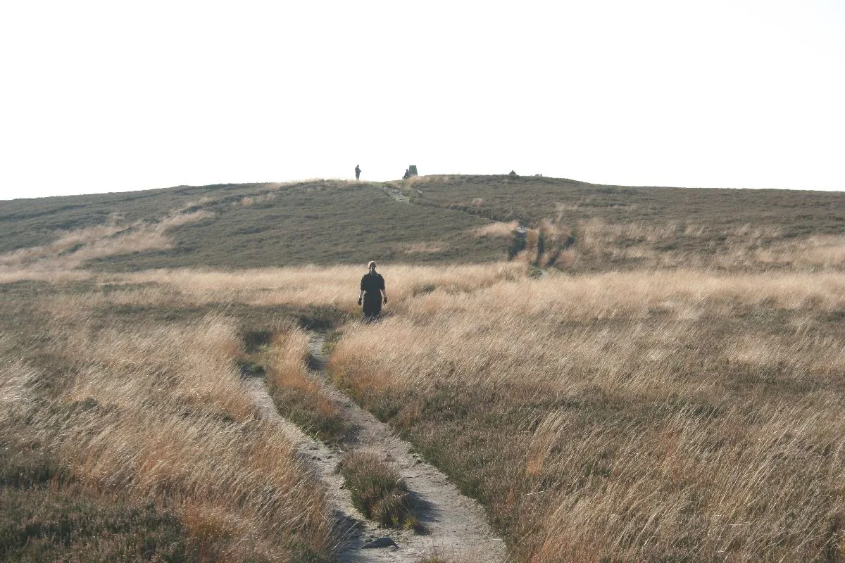
Heather Hill
In or near Laneshaw Bridge.
Heather Hill — mountain in england north west. Elevation: 464 m.

John Slater — CC BY-SA 2.0 via Wikimedia Commons licence

Plan your visit
- Typical visit
- 3 h–8 h
- Best time of year
- Late spring – early autumn (May–Oct)
- Nearest railway station
- Oxenhope · 7.9 km
- Dog-friendly
About
Heather Hill is a mountain located in england north west. Elevation: 464 m. A named British peak recorded in OpenStreetMap. Peaks are typically named on Ordnance Survey 1:50k mapping.
Photo gallery
Protected designations
- Site of Special Scientific Interest: South Pennine Moors SSSI
Designations sourced from Natural England open data under OGL v3.
Place summary
Heather Hill is a mountain located in North-West England. It offers a rugged landscape characteristic of the region, appealing to walkers and outdoor enthusiasts. The area is known for its natural beauty and diverse wildlife, making it a suitable destination for those interested in hiking and exploring the outdoors. Visitors can expect a variety of trails that cater to different skill levels.
AI-generated from the structured facts on this page (operator, designation, listing, era). Not a substitute for visiting.
- Coordinates
- 53.8143, -2.0731
- Nearest railway station
- Oxenhope — 7.9 km
Sources
- osm: n29784306 (ODbL)
Other places nearby
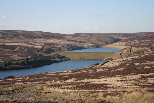
Walshaw Dean Reservoirs
Reservoirs & lochs · 2.2 km
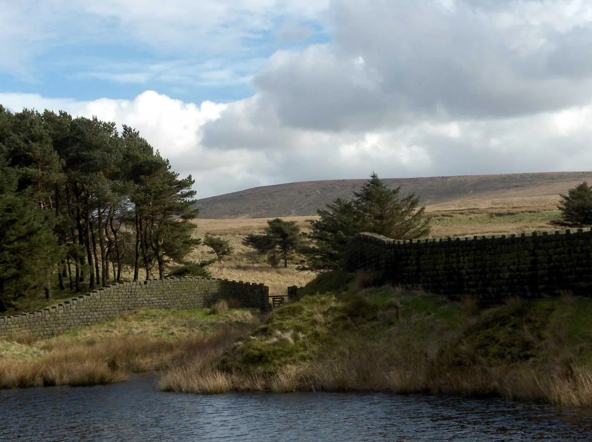
Lad Law (Boulsworth Hill)
Mountains & hills · 2.3 km

Boulsworth Hill
Mountains & hills · 2.4 km
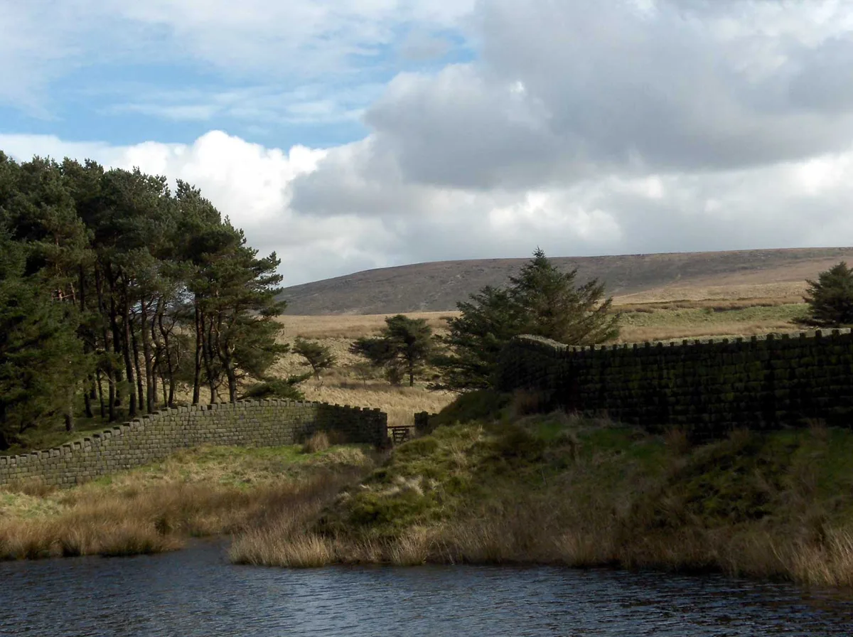
Boulsworth Hill
Natural landmarks · 2.4 km

Ponden Kirk
Viewpoints · 2.8 km

Top Withins
Historic houses · 2.8 km

Top Withins
Archaeological sites · 2.8 km

Grey Stone Hill
Mountains & hills · 3.1 km
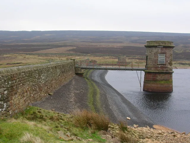
Watersheddles Reservoir
Reservoirs & lochs · 3.1 km

Bridge at Holme Ends over Alcomden Water
Historic bridges · 3.2 km

Valve Tower To South East Corner Of Widdop Reservoir
Memorials & monuments · 3.2 km

Herders Inn
Historic pubs · 3.8 km
Nearby
📷 3Reservoirs & lochs · Yorkshire & the Humber
Walshaw Dean Reservoirs
Walshaw Dean Reservoirs — reservoirs in West Yorkshire, England, UK.
📷 3Mountains & hills · Yorkshire & the Humber
Lad Law (Boulsworth Hill)
Lad Law (Boulsworth Hill) — Named summit at 518 m.
📷 5Mountains & hills · Yorkshire & the Humber
Boulsworth Hill
Boulsworth Hill — a hill or mountain in england north west.
📷 3Natural landmarks · Yorkshire & the Humber
Boulsworth Hill
Boulsworth Hill — mountain in United Kingdom.
📷 3Viewpoints · Yorkshire & the Humber
Ponden Kirk
Ponden Kirk is a viewpoint in the United Kingdom.
📷 3Historic houses · Yorkshire & the Humber
Top Withins
Top Withins — a historic house in Yorkshire & the Humber, United Kingdom.
Where to eat & stay near Heather Hill
Places to stay
 📷 5
Campsites · Yorkshire & the Humber
Hebden Hey Scout Centre
Hebden Hey Scout Centre — a campsite in england north west.
 📷 5
Campsites · Yorkshire & the Humber
Hebden Bridge Camping
Hebden Bridge Camping — a campsite in england north west.
 📷 5
Campsites · Yorkshire & the Humber
Winter House Farm Campsite
Winter House Farm Campsite — a campsite in england north west.
 📷 5
Hostels · Yorkshire & the Humber
Hebden Bridge Hostel
Hebden Bridge Hostel — a hostel in england north west.
 📷 5
 📷 5
Campsites · Yorkshire & the Humber
Little Nook Farm
Little Nook Farm — a campsite in england yorkshire.
Places to eat & drink
📷 5 📷 5
Historic pubs · North West England
Cross Gaits Inn
Cross Gaits Inn in England North West, United Kingdom.
 📷 5
Historic pubs · North West England
Duke Of York Hotel
Duke Of York Hotel in England North West, United Kingdom.
 📷 5
Historic pubs · Yorkshire & the Humber
Weavers Arms Public House
Weavers Arms Public House in England North West, United Kingdom.
 📷 3
Historic pubs · Yorkshire & the Humber
Queen's Hotel
Queen's Hotel — Historic pub — listed building or notable heritage status.
 📷 5
Historic pubs · North West England
The Churchill Public House
The Churchill Public House in England North West, United Kingdom.
More mountains in this region
 📷 3
 📷 5
Mountains & hills · Yorkshire & the Humber
Whaley Moor
Whaley Moor — a hill or mountain in england west midlands.
 📷 5
Mountains & hills · Yorkshire & the Humber
Idle Hill
Idle Hill — a hill or mountain in england west midlands.
 📷 5
Mountains & hills · Yorkshire & the Humber
Hollingworthhall Moor
Hollingworthhall Moor — a hill or mountain in england west midlands.
Frequently asked questions
- Where is Heather Hill?
- Heather Hill is in Yorkshire, United Kingdom.
- What is Heather Hill?
- Heather Hill — mountain in england north west. Elevation: 464 m.
- How do I get to Heather Hill?
- The nearest railway station is Oxenhope, about 7.9 km away. The nearest town is Laneshaw Bridge. Its coordinates are 53.8143°, -2.0731°.
- Is Heather Hill a protected site?
- Yes — Heather Hill is part of the South Pennine Moors SSSI Site of Special Scientific Interest.
- How do I get to Heather Hill?
- The nearest railway station is Oxenhope, about 7.9 km away.