
Battlefields & battle sites · East of England
Hayley Wood
In or near Great Gransden.
Hayley Wood in England East, United Kingdom.

Hugh Venables — CC BY-SA 2.0 via Wikimedia Commons licence

Plan your visit
- Typical visit
- 1 h–2 h
- Free entry
- Dog-friendly
About
Hayley Wood is a registered historic battlefield in England East, United Kingdom. Britain's battlefields range from the medieval clashes of the Wars of the Roses to the Civil War sieges and the 1745 Jacobite Rising at Culloden — most are open landscapes with interpretive trails and battle-monument markers.
Photo gallery
Protected designations
- Site of Special Scientific Interest: Hayley Wood SSSI
Designations sourced from Natural England open data under OGL v3.
From the Wikipedia article
Hayley Wood is a 51.7-hectare (128-acre) biological Site of Special Scientific Interest south-east of Great Gransden in Cambridgeshire. It is a Nature Conservation Review site, Grade 1, and it is managed by the Wildlife Trust for Bedfordshire, Cambridgeshire and Northamptonshire. It was the subject of a book by the academic and woodland expert Oliver Rackham, listed below, who regularly visited and recorded his observations of the woodland in his notebooks.
Excerpt from Wikipedia under CC BY-SA 4.0. See the source article linked in Sources below.
Background
History
A large wood in this area of the parish was mentioned in the 1086 Domesday Book, but by 1251 it had been split into two: Hayley Wood (40 acres) and Littlehound Wood (32 acres). Agriculture in the area declined after 1350 and the wooded area expanded; by 1650, Hayley Wood covered 120 acre and Littlehound 40 acres. In around 1655, Littlehound was 'new stubbed' and disappeared under cultivation, although its outline can still be seen in the form of field boundaries. Hayley Wood was confiscated from the Bishop of Ely by Queen Elizabeth in 1579 and whenceforth became privately owned. The Varsity Line - a railway between Bedford and Cambridge - ran along the wood's northern edge between…
Sourced from Wikipedia under CC BY-SA 4.0.
- Coordinates
- 52.1590, -0.1150
- County
- Cambridgeshire
- District
- South Cambridgeshire
- Parish
- Longstowe
- Postcode
- CB23 2UR
- Parliamentary constituency
- St Neots and Mid Cambridgeshire
Sources
- wikidata: Q5686899 (CC0)
- wikipedia: Hayley Wood (CC BY-SA 4.0)
Other places nearby
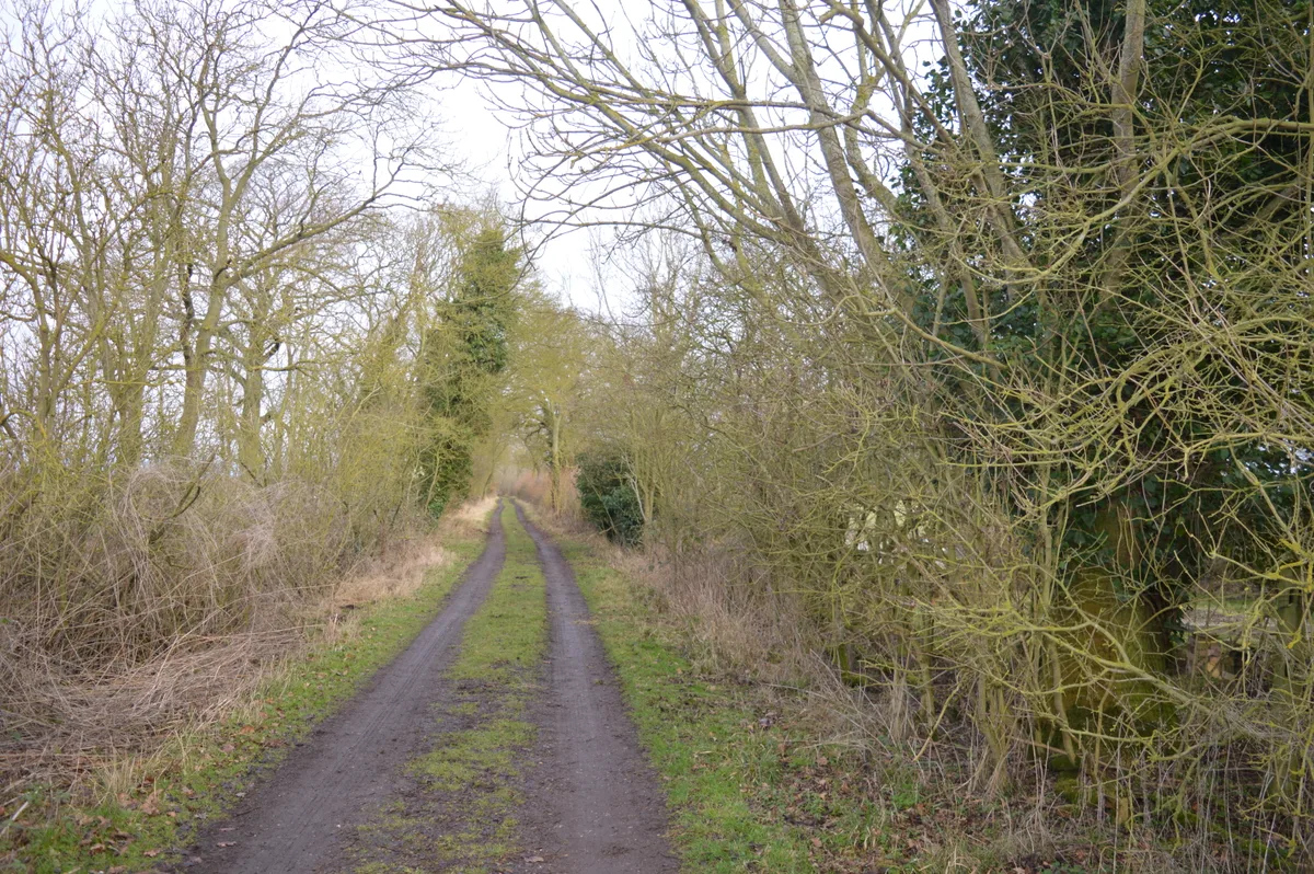
Hayley Wood
Wildlife reserves · 0.0 km

Croydon Hill
Mountains & hills · 2.0 km

East Hatley
Villages · 2.2 km

Long Stowe
Villages · 2.3 km

Church of St Denis
Parks · 2.4 km

Hatley Saint George
Villages · 2.4 km
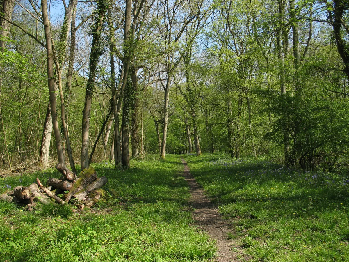
Buff Wood
Wildlife reserves · 2.6 km

The Red House
Restaurants · 2.9 km

405 Squadron RCAF Memorial
Memorials & monuments · 3.0 km

Great Gransden Mill
Windmills · 3.0 km
Great Gransden Windmill
Windmills · 3.0 km

war memorial
Memorials & monuments · 3.0 km
Nearby
📷 5Wildlife reserves · East of England
Hayley Wood
Hayley Wood — nature reserve in the United Kingdom.
📷 3Mountains & hills · East of England
Croydon Hill
Croydon Hill — a hill or mountain in england london.
📷 5📷 5📷 5Parks · East of England
Church of St Denis
Church of St Denis — church in South Cambridgeshire, England, UK.
📷 5Where to eat & stay near Hayley Wood
Places to stay
 📷 5
📷 5Campsites · East of England
Great Gransden Campsite
Great Gransden Campsite — a campsite in england london.
 📷 5
📷 5Hotels · East of England
The Cambridge Belfry
The Cambridge Belfry — a hotel in england london.
 📷 5
📷 5Caravan parks · East of England
Caravan Club Site (members)
Caravan Club Site (members) — a caravan park in england london.
 📷 5
📷 5 📷 5
📷 5Campsites · East of England
Highfield Farm Touring Park
Highfield Farm Touring Park — a campsite in england london.
 📷 5
📷 5Caravan parks · East of England
St Neots Mobile Home Park
St Neots Mobile Home Park — a caravan park in england london.
Places to eat & drink
📷 5Restaurants · East of England
The Red House
The Red House — a restaurant in england london.
 📷 5
📷 5Historic pubs · East of England
The Plough Public House With Attached Stables And Hayloft
The Plough Public House With Attached Stables And Hayloft in England East, United Kingdom.
 📷 5
📷 5Historic pubs · East of England
Duncombe Arms Public House
Duncombe Arms Public House in England East, United Kingdom.
 📷 5
📷 5 📷 5
📷 5 📷 5
📷 5Historic pubs · East of England
The Hoops Public House
The Hoops Public House in England East, United Kingdom.
More places in this region
 📷 3
📷 3Battlefields & battle sites · East of England
Holkham Meals
Holkham Meals in England East, United Kingdom.
 📷 3
📷 3Battlefields & battle sites · East of England
Winding Wood
Winding Wood in England East, United Kingdom.
 📷 3
📷 3Battlefields & battle sites · East of England
Langley Wood
Langley Wood in England East, United Kingdom.
Frequently asked questions
- Where is Hayley Wood?
- Hayley Wood is in Cambridgeshire, East of England, United Kingdom (postcode CB23 2UR), in the parish of Longstowe.
- What is Hayley Wood?
- Hayley Wood in England East, United Kingdom.
- How do I get to Hayley Wood?
- Drivers can use postcode CB23 2UR.
- Is Hayley Wood a protected site?
- Yes — Hayley Wood is part of the Hayley Wood SSSI Site of Special Scientific Interest.
- Is Hayley Wood free to visit?
- Yes, Hayley Wood is free to enter.
- How do I get to Hayley Wood?
- Drivers can navigate to postcode CB23 2UR. It sits within the St Neots and Mid Cambridgeshire parliamentary constituency.