Parks · East Midlands
Hayfield, Derbyshire
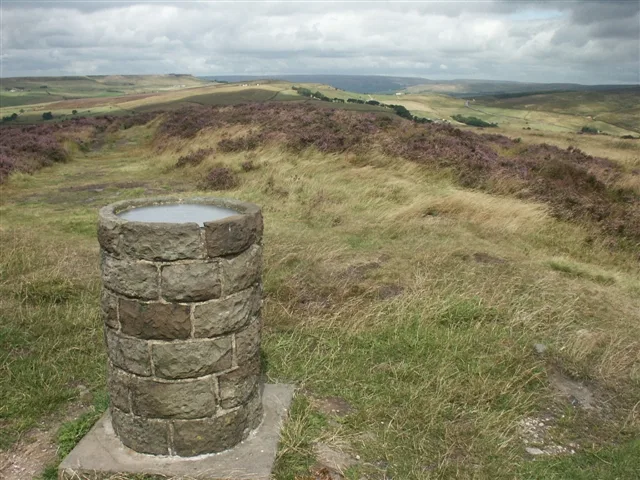
In or near Mellor.
Hayfield (SK037870) is a village and civil parish in High Peak, Derbyshire, England, with a population of around 2,700. The village is 3 miles (4.8 km) east of New Mills, 4.5 miles (7.2 km) south of G

Stephen McKay — CC BY-SA 2.0 via Wikimedia Commons licence
Plan your visit
- Typical visit
- 1 h–2 h
- Nearest railway station
- Chinley · 4.4 km
- Free entry
- Family-friendly
- Dog-friendly
Getting there & planning your visit
To visit Hayfield in Derbyshire, the nearest railway station is Chinley, located 4.4 km away. The postcode for sat-nav is SK22 2HT, and entry to the park is free.
About
Hayfield (SK037870) is a village and civil parish in High Peak, Derbyshire, England, with a population of around 2,700. The village is 3 miles (4.8 km) east of New Mills, 4.5 miles (7.2 km) south of Glossop and 10 miles (16 km) north of Buxton, in the basin of the River Sett. The civil parish includes Hayfield village itself, the hamlets of Little Hayfield and part of Birch Vale, and a significant proportion of the Kinder Scout plateau.
Photo gallery
Protected designations
- Site of Special Scientific Interest: Dark Peak SSSI
Designations sourced from Natural England open data under OGL v3.
From the Wikipedia article
Hayfield (SK037870) is a village and civil parish in High Peak, Derbyshire, England, with a population of around 2,700. The village is 3 miles (4.8 km) east of New Mills, 4.5 miles (7.2 km) south of Glossop and 10 miles (16 km) north of Buxton, in the basin of the River Sett. The civil parish includes Hayfield village itself, the hamlets of Little Hayfield and part of Birch Vale, and a significant proportion of the Kinder Scout plateau.
Excerpt from Wikipedia under CC BY-SA 4.0. See the source article linked in Sources below.
Background
History
The area was once woodland but this was largely cleared, allowing for sheep farming, although the soil was not good enough for arable farming. The village lies on the line of a Roman road from Buxton (Aqua Arnemetia) to Glossop (Ardotalia). It is also on an important former packhorse route between Cheshire and Yorkshire. (some sources state the village was recorded as Hedfeld), and Kinder was recorded separately as Chendre. It was included in the Royal Forest of the Peak in medieval times, but was not a parish until it was created perpetual curacy by Richard II. although tithes were paid to the Abbot of Basingwerke in North Wales. St Matthew's Church, Highgate Hall, Fox Hall (dated 1625)…
Description
Eventually woollen manufacturing became a main industry within the village, and the propensity toward three-storied terraced houses within the village reflects this—the top floor, with its better light conditions, was where the loom was operated. In Descriptions of the Country from 30–40 miles Around Manchester (1795), John Aikten wrote: "The inhabitants [of Hayfield] are principally clothiers, though the cotton branch of late has gained a small footing." During World War II, the village was home to evacuees from all over the country. However, on 3 July 1942, a stray bomb intended for Manchester was dropped on a row of terraced houses in Watery Hey. Six people died. But with industrial…
Sourced from Wikipedia under CC BY-SA 4.0.
- Coordinates
- 53.3800, -1.9400
- County
- Derbyshire
- District
- High Peak
- Parish
- Hayfield
- Postcode
- SK22 2HT
- Parliamentary constituency
- High Peak
- Nearest railway station
- Chinley — 4.4 km
- Official site
- www.neighbourhood.statistics.gov.uk
Sources
- wikipedia: Hayfield, Derbyshire (CC BY-SA 4.0)
Other places nearby

Pump track
Mountain bike trails · 0.3 km

Twenty Trees
Viewpoints · 0.3 km

Royal Hotel
Historic pubs · 0.3 km

Hayfield War Memorial
Memorials & monuments · 0.4 km

Hayfield
Villages · 0.4 km

Kinder Lodge
Hotels · 0.5 km

Methodist Chapel
Chapels · 0.5 km

Hayfield Campsite
Campsites · 0.7 km

Heron Crags
Viewpoints · 1.3 km
Lantern Pike
Mountains & hills · 1.9 km

The Knott
Mountains & hills · 2.4 km
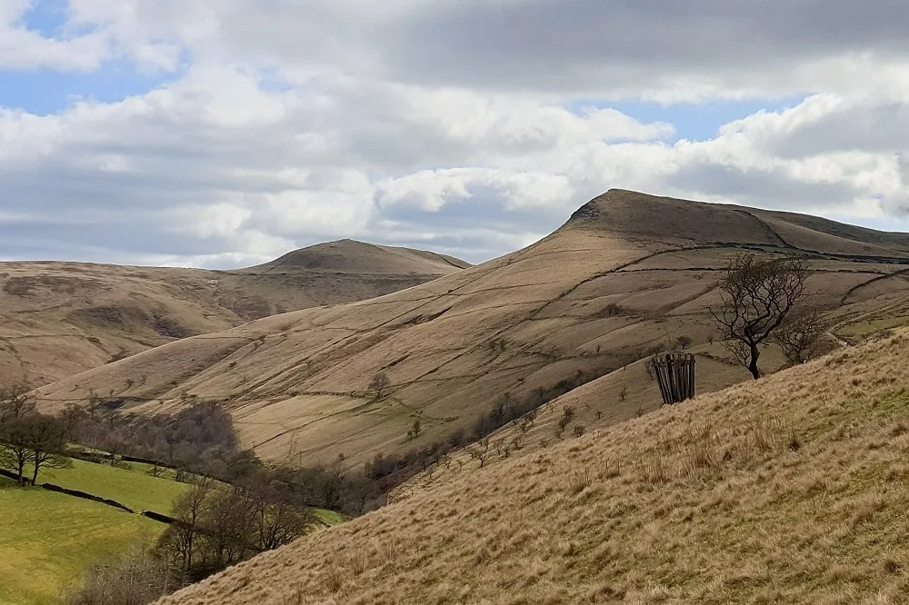
Mount Famine
Mountains & hills · 2.6 km
Nearby
📷 5📷 3📷 5📷 3Memorials & monuments · East Midlands
Hayfield War Memorial
Hayfield War Memorial is a memorial in the United Kingdom.
📷 5📷 7Hotels · East Midlands
Kinder Lodge
Kinder Lodge — a hotel in england east midlands.
Where to eat & stay near Hayfield, Derbyshire
Places to stay
📷 7Hotels · East Midlands
Kinder Lodge
Kinder Lodge — a hotel in england east midlands.
📷 5Campsites · East Midlands
Hayfield Campsite
Hayfield Campsite — a campsite in england east midlands.
 📷 5
📷 5Campsites · East Midlands
chapel view campsite
chapel view campsite — a campsite in england east midlands.
 📷 5
📷 5 📷 5
📷 5Caravan parks · Yorkshire & the Humber
Shaw Farm - Static Caravans
Shaw Farm - Static Caravans — a caravan park in england west midlands.
 📷 5
📷 5Caravan parks · East Midlands
Ringstones Caravan Park
Ringstones Caravan Park — a caravan park in england east midlands.
Places to eat & drink
📷 5 📷 5
📷 5Historic pubs · East Midlands
The Hare And Hounds Hotel
The Hare And Hounds Hotel in England Yorkshire, United Kingdom.
 📷 5
📷 5Historic pubs · East Midlands
The Crown Inn, Glossop
The Crown Inn, Glossop in England Yorkshire, United Kingdom.
 📷 5
📷 5Historic pubs · East Midlands
Former Dollars Public House
Former Dollars Public House in England Yorkshire, United Kingdom.
 📷 5
📷 5Historic pubs · North West England
Disley Friends Meeting House
Disley Friends Meeting House in England North West, United Kingdom.
 📷 4
📷 4Historic pubs · Yorkshire & the Humber
Rams Head Hotel
Rams Head Hotel — Historic pub — listed building or notable heritage status.
More parks in this region
 📷 4
📷 4Parks · East Midlands
Bourne Festival
Bourne Festival is an annual music event held in Wellhead Park in the market town of Bourne, Lincolnshire, England. The festival is a charity event organised by Bourne and District Round Table 896, a
 📷 4
📷 4Parks · East Midlands
Millennium Roller Coaster
Millennium (formerly Millennium Roller Coaster) is a roller coaster at Fantasy Island in Ingoldmells, United Kingdom. It was built by Vekoma, a Dutch roller coaster manufacturer, to celebrate the arri
 📷 5
📷 5Parks · East Midlands
Cholera Monument Grounds and Clay Wood
Cholera Monument Grounds and Clay Wood — park in Sheffield, South Yorkshire, England, UK.
 📷 5
📷 5Parks · East Midlands
Clumber Park
Clumber Park — estate in Worksop, Nottinghamshire, England, UK.
Frequently asked questions
- Where is Hayfield, Derbyshire?
- Hayfield, Derbyshire is in Derbyshire, the East Midlands, United Kingdom (postcode SK22 2HT), in the parish of Hayfield.
- What is Hayfield, Derbyshire?
- Hayfield (SK037870) is a village and civil parish in High Peak, Derbyshire, England, with a population of around 2,700. The village is 3 miles (4.8 km) east of New Mills, 4.5 miles (7.2 km) south of G
- How do I get to Hayfield, Derbyshire?
- The nearest railway station is Chinley, about 4.4 km away. Drivers can use postcode SK22 2HT.
- Is Hayfield, Derbyshire a protected site?
- Yes — Hayfield, Derbyshire is part of the Dark Peak SSSI Site of Special Scientific Interest.
- Is Hayfield, Derbyshire free to visit?
- Yes, Hayfield, Derbyshire is free to enter.
- How do I get to Hayfield, Derbyshire?
- The nearest railway station is Chinley, about 4.4 km away. Drivers can navigate to postcode SK22 2HT.