
Forests & woodlands · East of England
Havergate Island Nature Reserve (RSPB)
In or near Alderton.
Havergate Island Nature Reserve (RSPB) is a forest or woodland in the United Kingdom.

Wikimedia Commons contributors — see linked file page for photographer and licence licence

Plan your visit
- Typical visit
- 1 h–3 h
- Free entry
- Family-friendly
- Dog-friendly
About
Havergate Island Nature Reserve (RSPB) is a named forest, woodland or nature reserve in the United Kingdom. Coordinates: 52.0730°, 1.5188°.
Photo gallery
Protected designations
- Site of Special Scientific Interest: Alde-Ore Estuary SSSI
- Site of Special Scientific Interest: Sandlings Forest SSSI
- National Nature Reserve: ORFORDNESS-HAVERGATE
- Area of Outstanding Natural Beauty: Suffolk Coast & Heaths
Designations sourced from Natural England open data under OGL v3.
From the Wikipedia article
Havergate Island is an island in the civil parish of Orford, in the East Suffolk district, in the county of Suffolk, England. It is the only island entirely located within Suffolk. It is found at the confluence of the River Ore and the Butley River near the village of Orford. It is a marshy nature reserve run by the Royal Society for the Protection of Birds (RSPB) and is known for its population of pied avocets and terns. It is part of the ecologically important Alde-Ore Estuary and has protected conservation status as part of a national nature reserve, SSSI, SAC, SPA, Ramsar Site and is also a part of the Suffolk Coast and Heaths AONB. The island, which is 2 miles (3.2 km) long and 1⁄2 mile (0.80 km) across at its widest point and covers 267 acres (1.08 km2), lies in the Alder and Ore estuary and is protected from the North Sea by the shingle spit of Orford Ness. It is bounded by the river channels known locally as "The Gull", "Lower Gull" and "The Narrows".
Excerpt from Wikipedia under CC BY-SA 4.0. See the source article linked in Sources below.
Background
History
Havergate Island was first walled for land reclamation around 500 years ago and for much of its history has been used for farming. It was used as arable land and for grazing cattle, and at times for smuggling; the last inhabitants left the island at the end of the 1920s. In the 1930s it was used for summer grazing and in 1933 a gravel company set up shingle extraction on the island but this was found to be unprofitable and they soon left. During World War II the military took control of the island along with Orford Ness. Without human intervention during this time salt water flooded parts of the island making it unsuitable for agricultural use. Havergate Island was formerly an…
Visiting
The island and nature reserve is only accessible by boat from Orford quay and only at certain times and dates. Prior booking is required for access, and group bookings can be made. The RSPB charge a fee to enter the nature reserve, with a reduced fee for members. Havergate Island is near to the Suffolk Coast Path, a long-distance footpath, and to Route 1 of the Sustrans National Cycle Network and bus Route 160 from Ipswich to Orford. Facilities on the island include a number of bird hides, toilets and a picnic area. Guided tours are also available. The site is unsuitable for wheelchair or pushchair users due to the unimproved nature of its paths and boat access.
Sourced from Wikipedia under CC BY-SA 4.0.
- Coordinates
- 52.0730, 1.5188
- County
- Suffolk
- District
- East Suffolk
- Parish
- Gedgrave
- Postcode
- IP12 2BX
- Parliamentary constituency
- Suffolk Coastal
- Established
- 1948
- Official site
- www.rspb.org.uk
Sources
- osm: w1043462669 (ODbL)
- wikipedia: Havergate Island (CC BY-SA 4.0)
- commons: RSPB nature reserve of Havergate Island - geograph.org.uk - 224824.jpg (CC BY-SA 4.0)
Other places nearby
Havergate Island
Islands · 0.1 km

Hollesley Bay
Natural landmarks · 1.3 km

Boyton Dock
Historic houses · 2.0 km
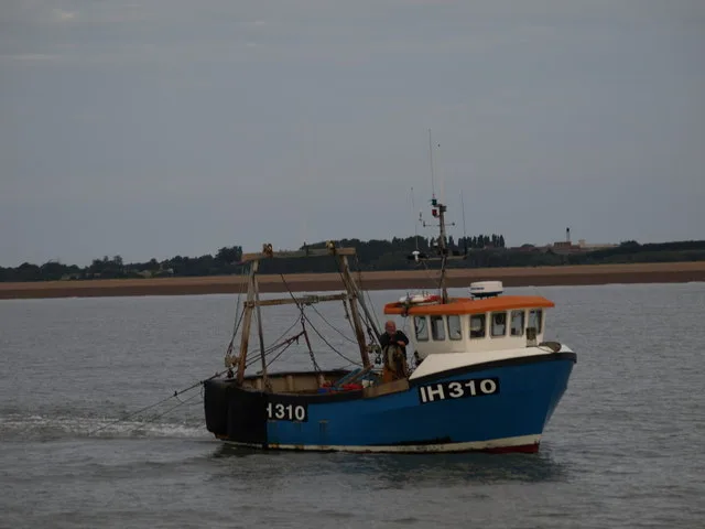
Hollesley Bay
Mountains & hills · 2.2 km

The Jolly Sailor Public House
Historic pubs · 2.4 km
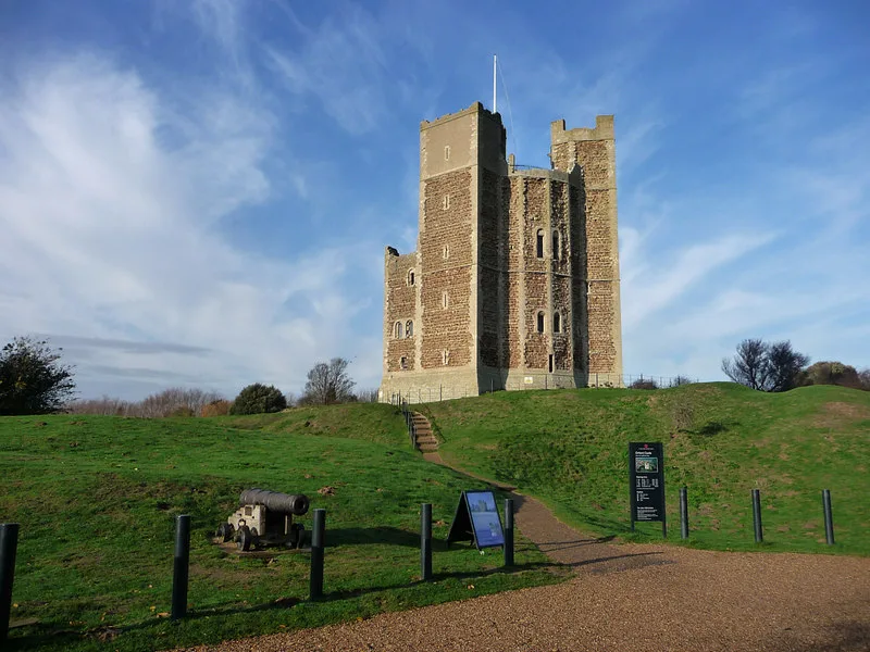
Orford Castle
Castles · 2.5 km

Orford Museum
Museums · 2.5 km

Boyton and Hollesley Marshes RSPB Reserve
Wildlife reserves · 2.5 km

Crown and Castle
Hotels · 2.6 km

Orford, Suffolk
Museums · 2.7 km

Orford War Memorial
Memorials & monuments · 2.7 km

St Bartholomews Church
Historic churches · 2.7 km
Nearby
📷 3Islands · East of England
Havergate Island
Havergate Island — island in Suffolk, England.
📷 5📷 3Historic houses · East of England
Boyton Dock
Boyton Dock — a historic house in East of England, United Kingdom.
📷 3Mountains & hills · East of England
Hollesley Bay
Hollesley Bay — bay on the coast of Suffolk, England.
📷 7Historic pubs · East of England
The Jolly Sailor Public House
The Jolly Sailor Public House in England East, United Kingdom.
📷 4Castles · East of England
Orford Castle
Orford Castle — Grade I listed historic house museum in Suffolk Coastal, United Kingdom.
Where to eat & stay near Havergate Island Nature Reserve (RSPB)
Places to stay
📷 7Hotels · East of England
Crown and Castle
Crown and Castle — a hotel in england east.
 📷 5
📷 5 📷 5
📷 5 📷 5
📷 5Caravan parks · East of England
Run Cottage Caravan Park
Run Cottage Caravan Park — a caravan park in england east.
 📷 5
📷 5Caravan parks · East of England
Shottisham Camp Site
Shottisham Camp Site — a caravan park in england east.
 📷 5
📷 5Places to eat & drink
📷 7Historic pubs · East of England
The Jolly Sailor Public House
The Jolly Sailor Public House in England East, United Kingdom.
 📷 7
📷 7Historic pubs · East of England
The Lion, Little Glemham
The Lion, Little Glemham in England East, United Kingdom.
 📷 5
📷 5Historic pubs · East of England
The Horse and Groom
The Horse and Groom in England East, United Kingdom.
 📷 7
📷 7Historic pubs · East of England
George and Dragon, Farnham
George and Dragon, Farnham in England East, United Kingdom.
 📷 5
📷 5Cafés · East of England
Honey + Harvey
Honey + Harvey — a café in england east.
 📷 5
📷 5More forests in this region
 📷 5
📷 5Forests & woodlands · East of England
Adams Road Bird Sanctuary
Adams Road Bird Sanctuary is a forest or woodland in the United Kingdom.
 📷 5
📷 5Forests & woodlands · East of England
Arthur's Meadow NR
Arthur's Meadow NR is a forest or woodland in the United Kingdom.
 📷 5
📷 5Forests & woodlands · East of England
Ashwell Quarry & Quarry Springs
Ashwell Quarry & Quarry Springs is a forest or woodland in the United Kingdom.
 📷 5
📷 5Forests & woodlands · East of England
Ashwell Springs
Ashwell Springs is a forest or woodland in the United Kingdom.
Frequently asked questions
- Where is Havergate Island Nature Reserve (RSPB)?
- Havergate Island Nature Reserve (RSPB) is in Suffolk, East of England, United Kingdom (postcode IP12 2BX), in the parish of Gedgrave.
- What is Havergate Island Nature Reserve (RSPB)?
- Havergate Island Nature Reserve (RSPB) is a forest or woodland in the United Kingdom.
- How do I get to Havergate Island Nature Reserve (RSPB)?
- The nearest town is Alderton. Drivers can use postcode IP12 2BX.
- When was Havergate Island Nature Reserve (RSPB) built?
- Built or established in 1948.
- Is Havergate Island Nature Reserve (RSPB) a protected site?
- Yes — Havergate Island Nature Reserve (RSPB) is part of the Alde-Ore Estuary SSSI Site of Special Scientific Interest and the Sandlings Forest SSSI Site of Special Scientific Interest.
- Is Havergate Island Nature Reserve (RSPB) free to visit?
- Yes, Havergate Island Nature Reserve (RSPB) is free to enter.
- How do I get to Havergate Island Nature Reserve (RSPB)?
- Drivers can navigate to postcode IP12 2BX. It sits within the Suffolk Coastal parliamentary constituency.