Islands · Scottish Islands
Haskeir
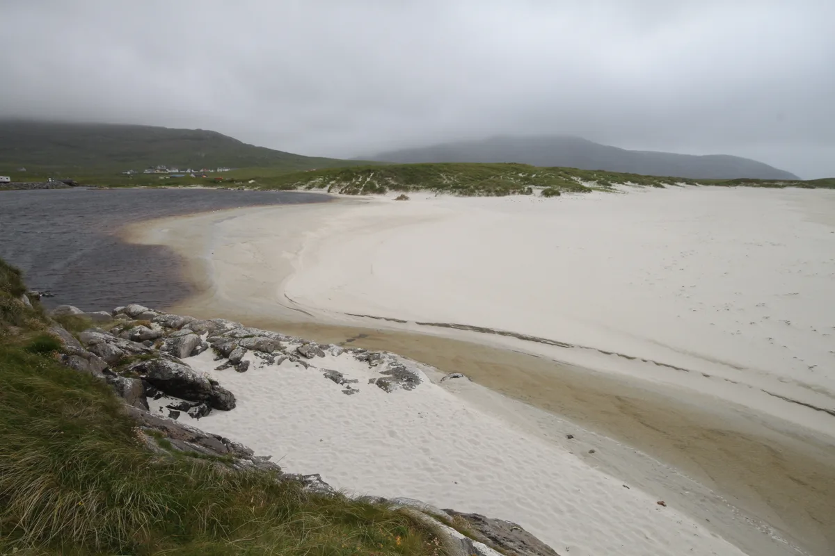
Haskeir — remote, exposed and uninhabited island in the Outer Hebrides of Scotland.

Wikimedia Commons contributors — see linked file page for photographer and licence licence
Plan your visit
- Typical visit
- 4 h–12 h
- Free entry
- Dog-friendly
Getting there & planning your visit
Haskeir is an island located in the Scottish Highlands, and it is remote with no railway station or postcode available. Entry to the island is free.
About
Haskeir is a island in the United Kingdom. Part of Outer Hebrides. Wikidata describes it as: "remote, exposed and uninhabited island in the Outer Hebrides of Scotland". Coordinates: 57.7000°, -7.6833°.
Photo gallery
From the Wikipedia article
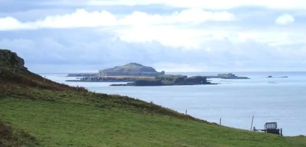
Haskeir (Scottish Gaelic: Eilean Hasgeir), also known as Great Haskeir (Scottish Gaelic: Hasgeir Mhòr) is a remote, exposed and uninhabited island in the Outer Hebrides of Scotland. It lies 13 kilometres (7 nautical miles) west-northwest of North Uist. One kilometre (1⁄2 nautical mile) southwest lie the skerries of Haskeir Eagach, made up of a colonnade of five rock stacks, and 40 km (22 nmi) northwest is St Kilda.
Excerpt from Wikipedia under CC BY-SA 4.0. See the source article linked in Sources below.
Background
History
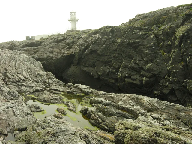
or (meaning 'shields') may have been the Old Norse name for Haskeir. Skildar certainly appears on a map by Nicholas de Nicolay from 1583. There are various theories that somehow the transposition of this name to nearby St Kilda may have created the name for this latter archipelago, whose origins are otherwise obscure. There is an active lighthouse on the island constructed in 1997 and operated by the Northern Lighthouse Board, as well as the remains of a bothy, possibly built by fishermen from the Monach Islands.
Sourced from Wikipedia under CC BY-SA 4.0.
- Coordinates
- 57.7000, -7.6833
- Address
- Haskeir Isle<br />Outer Hebrides<br />Scotland<br />United Kingdom
Sources
- wikidata: Q1296485 (CC0)
- wikipedia: Haskeir (CC BY-SA 4.0)
- commons: Haskeirlighthouse.jpg (CC BY-SA 4.0)
Other places nearby
Nearby
 📷 3
📷 3Lighthouses · Scottish Islands
Haskeir Lighthouse
Haskeir Lighthouse — lighthouse on the remote island of Haskeir, Scotland.
 📷 4
📷 4Natural landmarks · Scottish Islands
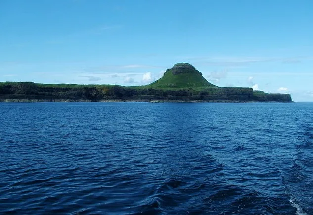
Haskeir Eagach
Haskeir Eagach in Scotland Islands, United Kingdom.
 📷 5
📷 5Vineyards · Scottish Islands
North Uist, Caisteal Odair
North Uist, Caisteal Odair — a UK vineyard in scotland highlands, producing English or Welsh wine from cool-climate grape varieties.
 📷 3
📷 3 📷 4
📷 4 📷 4
📷 4Where to eat & stay near Haskeir
Places to stay
 📷 5
📷 5Campsites · Scottish Islands
Balranald Hebridean Holidays
Balranald Hebridean Holidays — a campsite in scotland highlands.
 📷 3
📷 3Hostels · Scottish Islands
The Tractor Shed - Camping Pods and Bunkhouse
The Tractor Shed - Camping Pods and Bunkhouse — a hostel in scotland highlands.
Places to eat & drink
 📷 5
📷 5More places in this region
 📷 5
📷 5Islands · Scottish Islands
Bac Beag
Bac Beag — Scottish island, part of the Treshnish Isles in the Inner Hebrides.
 📷 5
📷 5Islands · Scottish Islands
Bac Mòr
Bac Mòr — island in Argyll and Bute, Scotland, UK, one of the Treshnish Isles.
 Flagship📷 3
Islands · Scottish Islands
Baleshare
Baleshare — flat tidal island in the Outer Hebrides, Scotland, UK.
 Flagship📷 5
Islands · Scottish Islands
Barra
Barra — island in Outer Hebrides, Scotland, UK.
Frequently asked questions
- Where is Haskeir?
- Haskeir is in the Scottish Highlands, United Kingdom.
- What is Haskeir?
- Haskeir — remote, exposed and uninhabited island in the Outer Hebrides of Scotland.
- How do I get to Haskeir?
- Its coordinates are 57.7000°, -7.6833°.
- Is Haskeir free to visit?
- Yes, Haskeir is free to enter.