
Villages · East of England
Hargrave
In or near Covington.
Hargrave — a village in england london.

Michael Trolove — CC BY-SA 2.0 via Wikimedia Commons licence
Plan your visit
- Typical visit
- 1 h–2 h
About
A British village — settlements of this size traditionally cluster a green, parish church, pub and post office around historic land routes.
Photo gallery
Place summary
Hargrave is a village located in the London region, with a population of 241. It features a typical rural setting, characterised by residential areas and local amenities. The village offers a quiet atmosphere, reflective of its small size and community-oriented lifestyle.
AI-generated from the structured facts on this page (operator, designation, listing, era). Not a substitute for visiting.
- Coordinates
- 52.3236, -0.4804
- District
- North Northamptonshire
- Parish
- Hargrave
- Postcode
- NN9 6BH
- Parliamentary constituency
- Corby and East Northamptonshire
- Population
- 241
Sources
- manual: geonames-2647478 (CC BY 4.0)
Other places nearby

Boring Field
Mountains & hills · 1.2 km
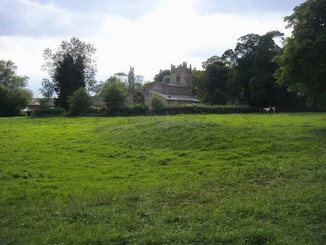
Church of St Mary the Virgin, Shelton, North Bedfordshire
Historic churches · 1.8 km

Covington Village Sign
Public art & sculpture · 2.0 km

Covington
Villages · 2.2 km

Covington
Towns & cities · 2.3 km

Upper Dean Windmill
Windmills · 2.5 km
Old Mill
Windmills · 2.5 km

Upper Dean
Villages · 3.1 km
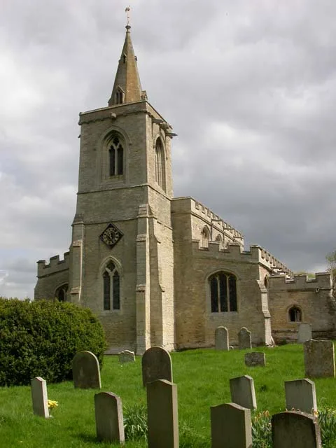
Church of All Saints, Upper Dean
Historic churches · 3.1 km
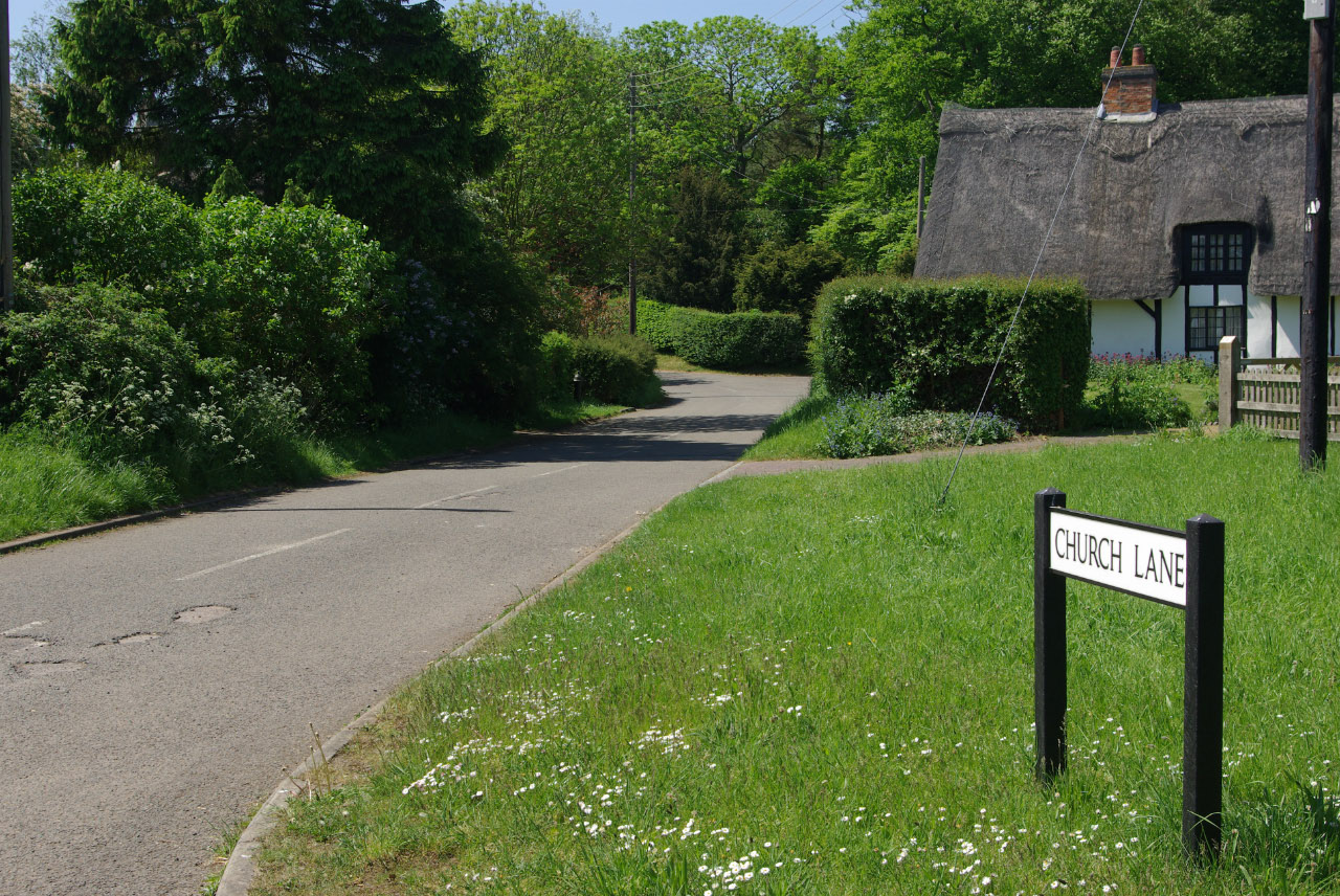
Yelden
Villages · 4.2 km
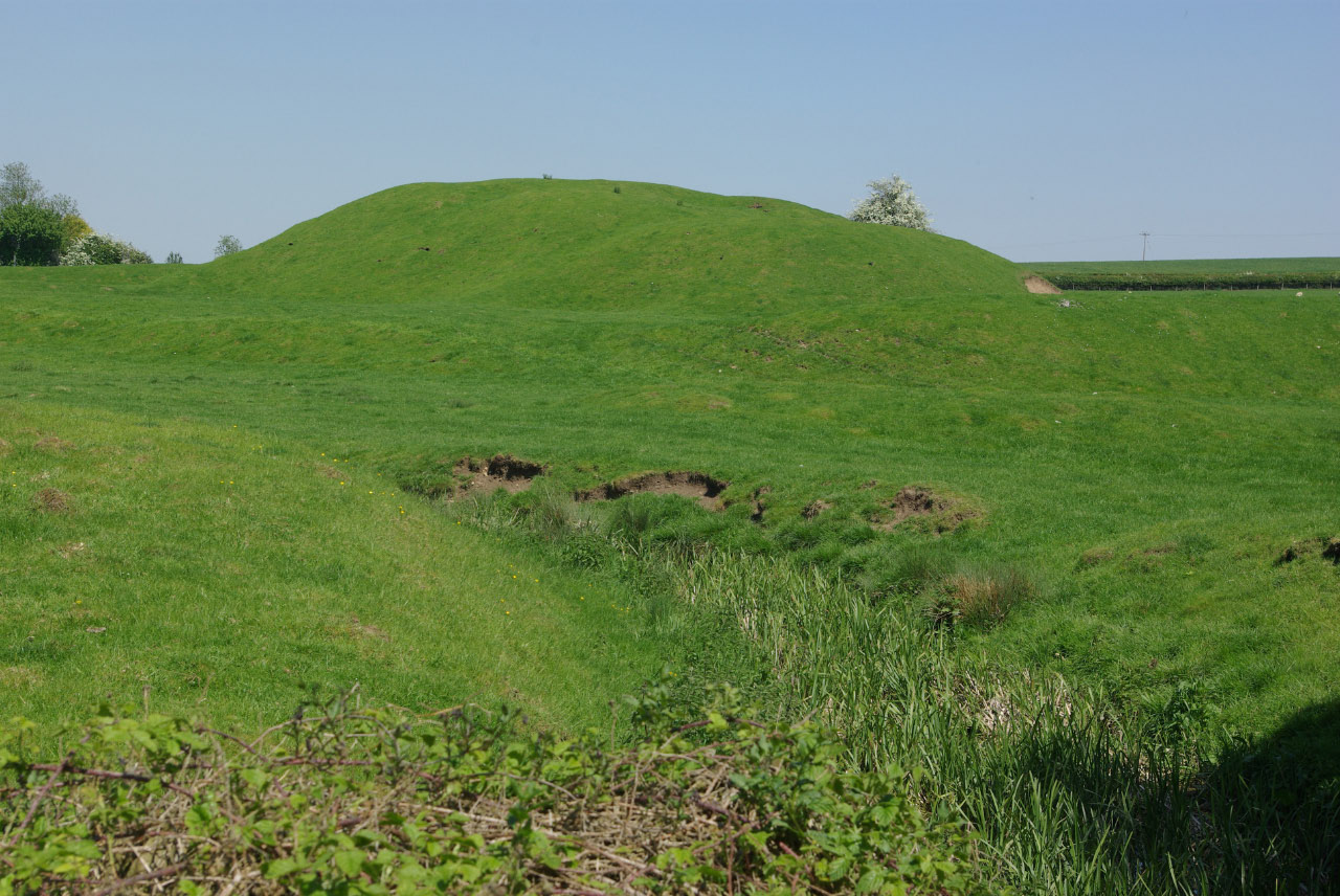
Yielden Castle
Literary houses · 4.3 km

Yielden Castle
Castles · 4.3 km
Nearby
📷 5Mountains & hills · East of England
Boring Field
Boring Field — mountain in england london. Elevation: 82 m.
📷 5Historic churches · East of England
Church of St Mary the Virgin, Shelton, North Bedfordshire
Church of St Mary the Virgin, Shelton, North Bedfordshire — Grade I listed church in Dean and Shelton, Bedford, Bedfordshire, England, UK.
📷 5Public art & sculpture · East of England
Covington Village Sign
Covington Village Sign — a public art in england-london, United Kingdom.
📷 5📷 5📷 5Windmills · East of England
Upper Dean Windmill
Upper Dean Windmill — Grade II listed building-listed windmill in england-london, United Kingdom.
Where to eat & stay near Hargrave
Places to stay
 📷 5
📷 5Campsites · East of England
The Cross Keys Campsite
The Cross Keys Campsite — a campsite in england london.
 📷 5
📷 5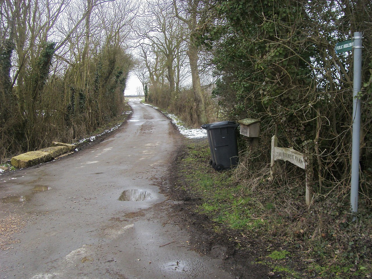 📷 5
📷 5Campsites · East of England
Top End Farm Campsite
Top End Farm Campsite — a campsite in england london.
 📷 5
📷 5Caravan parks · East of England
Grafham Water Caravan and Motorhome Club
Grafham Water Caravan and Motorhome Club — a caravan park in england london.
 📷 5
📷 5Campsites · East of England
Wadenhoe Scout Campsite
Wadenhoe Scout Campsite — a campsite in england west midlands.
 📷 7
📷 7Hotels · East Midlands
The Hind Hotel
The Hind Hotel — a hotel in england west midlands.
Places to eat & drink
 📷 5
📷 5Historic pubs · East of England
The Half Moon Public House
The Half Moon Public House in England East, United Kingdom.
 📷 5
📷 5Historic pubs · East Midlands
Hare And Hounds Public House
Hare And Hounds Public House in England East, United Kingdom.
 📷 5
📷 5Historic pubs · East of England
Kings Arms Public House And Attached Outbuildings To Rear
Kings Arms Public House And Attached Outbuildings To Rear in England East, United Kingdom.
 📷 5
📷 5 📷 5
📷 5Historic pubs · East Midlands
67 and 69 High Street
67 and 69 High Street in England East, United Kingdom.
 📷 5
📷 5Historic pubs · East Midlands
Mulso Arms Public House And Barns Attached To North West And South West
Mulso Arms Public House And Barns Attached To North West And South West in England East, United Kingdom.
More places in this region


Frequently asked questions
- Where is Hargrave?
- Hargrave is in London, United Kingdom (postcode NN9 6BH), in the parish of Hargrave.
- What is Hargrave?
- Hargrave — a village in england london.
- How do I get to Hargrave?
- Drivers can use postcode NN9 6BH.
- How do I get to Hargrave?
- Drivers can navigate to postcode NN9 6BH. It sits within the Corby and East Northamptonshire parliamentary constituency.