Mountains & hills · Central Scotland
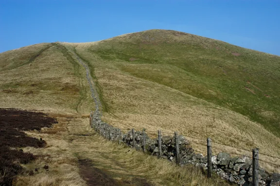
Harecleugh Hill
Harecleugh Hill — mountain in scotland central. Elevation: 383 m.

ian shiell — CC BY-SA 2.0 via Wikimedia Commons licence
Plan your visit
- Typical visit
- 3 h–8 h
- Best time of year
- Late spring – early autumn (May–Oct)
About
Harecleugh Hill is a mountain located in scotland central. Elevation: 383 m. A named British peak recorded in OpenStreetMap. Peaks are typically named on Ordnance Survey 1:50k mapping.
Photo gallery
Place summary
Harecleugh Hill is a mountain located in central Scotland. It is part of the Southern Uplands, offering a range of outdoor activities for hikers and nature enthusiasts. The area is characterised by its rugged terrain and scenic views, making it a notable feature of the local landscape. Visitors can expect a variety of walking routes suitable for different skill levels.
AI-generated from the structured facts on this page (operator, designation, listing, era). Not a substitute for visiting.
- Coordinates
- 55.7742, -2.6070
Sources
- osm: n2195181679 (ODbL)
Other places nearby
Loading nearby places…
Nearby
 📷 4
📷 4Natural landmarks · North East England
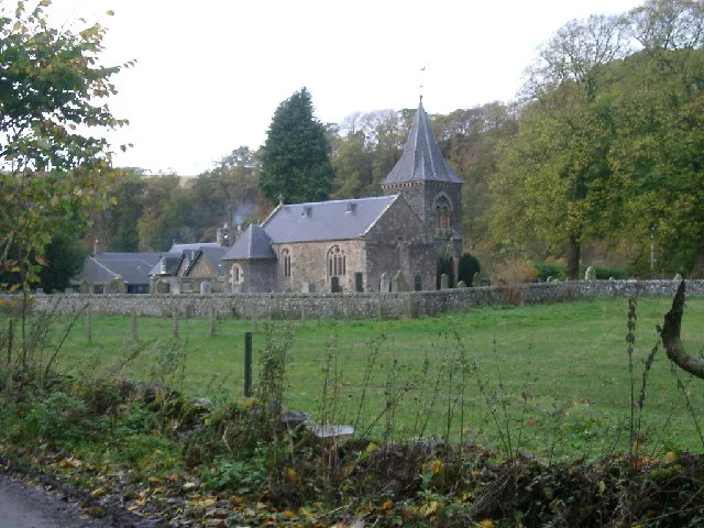
Blackadder Water
Blackadder Water in England North East, United Kingdom.
 📷 5
📷 5Mountains & hills · Central Scotland
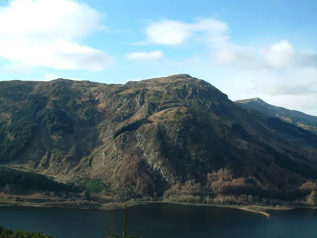
Flass Hill
Flass Hill — mountain in scotland central. Elevation: 379 m.
 📷 5
📷 5Mountains & hills · Central Scotland
Twin Law
Twin Law — mountain in scotland central. Elevation: 447 m.
 📷 5
📷 5Mountains & hills · Central Scotland
Philips Knowe
Philips Knowe — mountain in scotland central. Elevation: 411 m.
 📷 5
📷 5Palaces · Central Scotland
Coach Building with Sundial, Wedderlie House
Coach Building with Sundial, Wedderlie House — category B listed building-listed palace in scotland-central, United Kingdom.
 📷 5
📷 5Mountains & hills · Central Scotland
Dunside Hill
Dunside Hill — mountain in scotland central. Elevation: 436 m.
Where to eat & stay near Harecleugh Hill
Places to stay
 📷 5
📷 5Caravan parks · Central Scotland
Thirlestane Castle Caravan Park
Thirlestane Castle Caravan Park — a caravan park in scotland central.
 📷 5
📷 5Hotels · Central Scotland
Black Bull Hotel
Black Bull Hotel — a hotel in scotland central.
 📷 5
📷 5Hotels · Central Scotland
Lauderdale Hotel
Lauderdale Hotel — a hotel in scotland central.
 📷 5
📷 5Caravan parks · Central Scotland
Lauder - Camping and Caravanning Club Site
Lauder - Camping and Caravanning Club Site — a caravan park in scotland central.
 📷 5
📷 5Caravan parks · Central Scotland
Blackadder Caravan Park
Blackadder Caravan Park — a caravan park in scotland central.
 📷 5
📷 5Campsites · Central Scotland
Blinkbonny Wood Campsite
Blinkbonny Wood Campsite — a campsite in scotland central.
Places to eat & drink
 📷 5
📷 5Historic pubs · Central Scotland
The Royal Bar, 15 Market Square, Duns
The Royal Bar, 15 Market Square, Duns in Scotland Central, United Kingdom.
 📷 5
📷 5Historic pubs · Central Scotland
Gardner's Arms Public House, Market Street, Haddington
Gardner's Arms Public House, Market Street, Haddington in Scotland Central, United Kingdom.
 📷 5
📷 5Historic pubs · Central Scotland
The Crown & Kitchen
The Crown & Kitchen in Scotland Central, United Kingdom.
 📷 5
📷 5Historic pubs · Central Scotland
Clovenfords Hotel, Clovenfords
Clovenfords Hotel, Clovenfords in Scotland Central, United Kingdom.
More mountains in this region
 📷 3
📷 3Mountains & hills · Central Scotland
Abbey Hill
Abbey Hill — Named summit at 278 m.
 📷 3
📷 3Mountains & hills · Central Scotland
Aberlady Bay
Aberlady Bay — bay on the north coast of East Lothian, Scotland, UK.
 📷 3
📷 3Mountains & hills · Central Scotland
Allermuir Hill
Allermuir Hill — Named summit at 493 m.
 📷 3
📷 3Mountains & hills · Central Scotland
Ardnandave
Ardnandave — Named summit at 715 m.
Frequently asked questions
- Where is Harecleugh Hill?
- Harecleugh Hill is in central Scotland, United Kingdom.
- What is Harecleugh Hill?
- Harecleugh Hill — mountain in scotland central. Elevation: 383 m.
- How do I get to Harecleugh Hill?
- Its coordinates are 55.7742°, -2.6070°.