
Archaeological sites · East Midlands
Harby Hill Wood
In or near Waltham on the Wolds.
Harby Hill Wood is a archaeological site in the United Kingdom.

Wikimedia Commons contributors — see linked file page for photographer and licence licence

Plan your visit
- Typical visit
- 45 min–1.5 h
- Nearest railway station
- Melton Mowbray · 9.7 km
- Free entry
- Dog-friendly
Getting there & planning your visit
To visit Harby Hill Wood in Leicestershire, the nearest railway station is Melton Mowbray, located 9.7 km away. The postcode for sat-nav is LE14 4EW, and entry is free.
About
Harby Hill Wood is an archaeological site in the United Kingdom. Heritage designation: Site of Special Scientific Interest. Coordinates: 52.8480°, -0.8690°.
Photo gallery
Protected designations
- Site of Special Scientific Interest: Harby Hill Wood SSSI
Designations sourced from Natural England open data under OGL v3.
From the Wikipedia article
Harby Hill Wood is a 16.9-hectare (42-acre) biological Site of Special Scientific Interest west of Eastwell in Leicestershire. This site has steeply sloping ash and sycamore woodland, with areas of spring-fed marsh and colonies of wild daffodils. There is also an area of species-rich dry grassland, which has flora such as pignut and musk thistle. The site is private land but it is crossed by public footpaths.
Excerpt from Wikipedia under CC BY-SA 4.0. See the source article linked in Sources below.
- Coordinates
- 52.8480, -0.8690
- County
- Leicestershire
- District
- Melton
- Parish
- Eaton
- Postcode
- LE14 4EW
- Parliamentary constituency
- Melton and Syston
- Nearest railway station
- Melton Mowbray — 9.7 km
Sources
- wikidata: Q38251893 (CC0)
- wikipedia: Harby Hill Wood (CC BY-SA 4.0)
- commons: Harby Hill Wood 4.jpg (CC BY-SA 4.0)
Other places nearby

Eastwell
Villages · 1.3 km

The Hall
Historic houses · 1.3 km

Hose
Villages · 2.6 km

Church of St Denys, Goadby Marwood
Historic churches · 2.6 km

Church of St Guthlac, Stathern
Historic churches · 2.7 km

Goadby Marwood
Villages · 2.8 km

Stathern
Villages · 2.8 km

The Nags Head Public (number 20) House And Attached Walls, Railings, Gate And Overthrow
Historic pubs · 3.2 km
Harby
Villages · 3.3 km

Eaton
Villages · 3.5 km
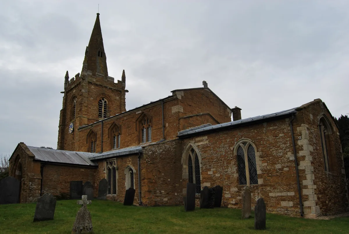
Church of St Denys, Eaton
Historic churches · 3.6 km

Long Clawson Village Sign
Public art & sculpture · 3.8 km
Nearby
📷 5📷 3📷 5📷 3Historic churches · East Midlands
Church of St Denys, Goadby Marwood
Church of St Denys, Goadby Marwood — a Grade I-listed church in england-east-midlands, United Kingdom.
📷 3Historic churches · East Midlands
Church of St Guthlac, Stathern
Church of St Guthlac, Stathern — Grade II* listed building-listed church in england-east-midlands, United Kingdom.
📷 5Where to eat & stay near Harby Hill Wood
Places to stay
 📷 5
📷 5Caravan parks · East Midlands
The Landings at Langar
The Landings at Langar — a caravan park in england east midlands.
 📷 5
📷 5Campsites · East Midlands
Fair Farm
Fair Farm — a campsite in england east midlands.
 📷 5
📷 5 📷 5
📷 5 📷 5
📷 5Campsites · East Midlands
Oddhouse Farm Glamping
Oddhouse Farm Glamping — a campsite in england east midlands.
 📷 5
📷 5Campsites · East Midlands
Sysonby Acres Leisure Park
Sysonby Acres Leisure Park — a campsite in england east midlands.
Places to eat & drink
📷 5Historic pubs · East Midlands
The Nags Head Public (number 20) House And Attached Walls, Railings, Gate And Overthrow
The Nags Head Public (number 20) House And Attached Walls, Railings, Gate And Overthrow in England East Midlands, United Kingdom.
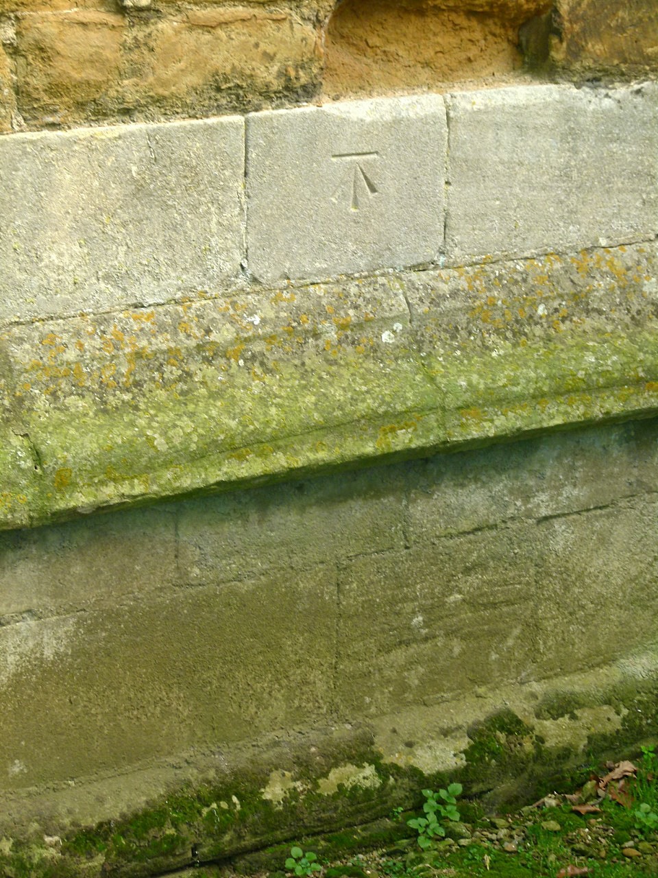 📷 5
📷 5 📷 7
📷 7Cafés · East Midlands
The Storehouse At The Fox
The Storehouse At The Fox — a café in england east midlands.
 📷 7
📷 7Historic pubs · East Midlands
Anne of Cleves
Anne of Cleves — Historic pub — listed building or notable heritage status.
 📷 7
📷 7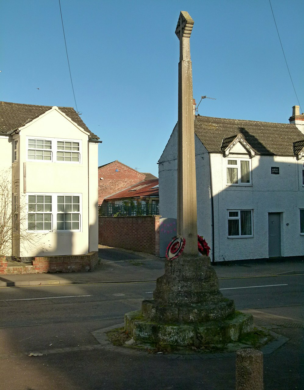 📷 7
📷 7Historic pubs · East Midlands
The Blue Bell Public House
The Blue Bell Public House in England East Midlands, United Kingdom.
More archaeological sites in this region
 📷 4
📷 4Archaeological sites · East Midlands
Roman site, Priors Meadow
Roman site, Priors Meadow — archaeological site in Deeping St James, South Kesteven, England, UK.
 📷 5
📷 5Archaeological sites · East Midlands
Site of St Peter's Church
Site of St Peter's Church — site of former church in Stamford, Lincolnshire, England, UK.
 📷 5
📷 5Archaeological sites · East Midlands
Stamford East railway station
Stamford East railway station — an archaeological site in East Midlands, United Kingdom.
 📷 5
📷 5Archaeological sites · East Midlands
Stamford East railway sheds (now residential)
Stamford East railway sheds (now residential) — an archaeological site in East Midlands, United Kingdom.
Frequently asked questions
- Where is Harby Hill Wood?
- Harby Hill Wood is in Leicestershire, the East Midlands, United Kingdom (postcode LE14 4EW), in the parish of Eaton.
- What is Harby Hill Wood?
- Harby Hill Wood is a archaeological site in the United Kingdom.
- How do I get to Harby Hill Wood?
- The nearest railway station is Melton Mowbray, about 9.7 km away. The nearest town is Waltham on the Wolds. Drivers can use postcode LE14 4EW.
- Is Harby Hill Wood a listed building?
- Harby Hill Wood is officially recognised as Site of Special Scientific Interest listed.
- Is Harby Hill Wood a protected site?
- Yes — Harby Hill Wood is part of the Harby Hill Wood SSSI Site of Special Scientific Interest.
- Is Harby Hill Wood free to visit?
- Yes, Harby Hill Wood is free to enter.
- How do I get to Harby Hill Wood?
- Drivers can navigate to postcode LE14 4EW. It sits within the Melton and Syston parliamentary constituency.