
Historic houses · East of England
Hanworth Hall
In or near Aldborough.
Hanworth Hall — a Grade I-listed historic house in england-east-midlands, United Kingdom.

Adrian S Pye — CC BY-SA 2.0 via Wikimedia Commons licence

Plan your visit
- Typical visit
- 1 h–2 h
- Nearest railway station
- Roughton Road · 5.8 km
- Family-friendly
- Limited wheelchair access
Getting there & planning your visit
To visit Hanworth Hall, the nearest railway station is Roughton Road, which is 5.8 km away. The postcode is NR11 7HP. Accessibility is limited for wheelchair users.
About
Hanworth Hall is a Grade I-listed building in england-east-midlands, United Kingdom. Grade I status is conferred by Historic England (or Cadw, Historic Environment Scotland or NIEA equivalents) on buildings of exceptional national interest. See the linked Wikipedia article for full historical and architectural details.
Photo gallery
Protected designations
- Area of Outstanding Natural Beauty: Norfolk Coast
Designations sourced from Natural England open data under OGL v3.
From the Wikipedia article
Hanworth Hall is a large late 17th-century country house some 500 m to the south of the village of Hanworth, Norfolk, England. It is protected and recognised in the highest category of the three in the English statutory scheme, as a Grade I listed building. It is built of brick with stone dressings and a hipped (sloped) slate roof to a double-pile floor plan. The main eastern façade has 2 storeys plus a garret-style attic; it is 9 bays across. The central three slightly project, under a simple pediment. Hanworth Hall was seat of the Doughty family from the 15th to the 18th century. The hall was rebuilt after a fire of 1686, for Robert Doughty (1699/1700-1770). His son, Robert Lee Doughty, began to lay out the park in 1770. He valued input from friend, leading landscape designer Humphry Repton during 1789 to 1790. Within the remaining demesne grounds is a notable Spanish chestnut tree which is thought to pre-date 1714. Robert died with no heirs and the estate passed to the children of his sister Catherine and her husband George Lukin, passing in turn to Philip Wynell Mayow (died 1845), then William Howe Windham, MP, (son of Vice Admiral William Lukin Windham) and then the latter's son William Frederick Windham. At the end of the century, his £20,000 debts in legal fees from defending himself from accusations of lunacy principally for contracting a left-handed marriage and being profligate, caused the property to be sold in 1900 to Joseph Gurney Barclay for his third son, Army officer Henry Barclay, aide-de-camp to Edward VII of the United Kingdom (1906–10) and George V (1910–25). Henry's descendant, and significant heir, Michael, was convicted and briefly gaoled in 2006 for wildlife offences.
Excerpt from Wikipedia under CC BY-SA 4.0. See the source article linked in Sources below.
- Coordinates
- 52.8722, 1.2575
- County
- Norfolk
- District
- North Norfolk
- Parish
- Hanworth
- Postcode
- NR11 7HP
- Parliamentary constituency
- North Norfolk
- Nearest railway station
- Roughton Road — 5.8 km
Sources
- wikidata: Q15979001 (CC0)
- wikipedia: Hanworth Hall (CC BY-SA 4.0)
Other places nearby

Thurgarton
Villages · 0.8 km
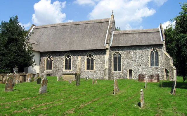
All Saints Church, Thurgarton
Historic churches · 1.3 km

Black Boys Public House
Historic pubs · 1.5 km
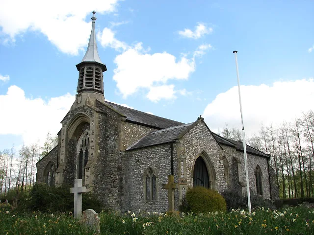
Aldborough
Towns & cities · 1.5 km
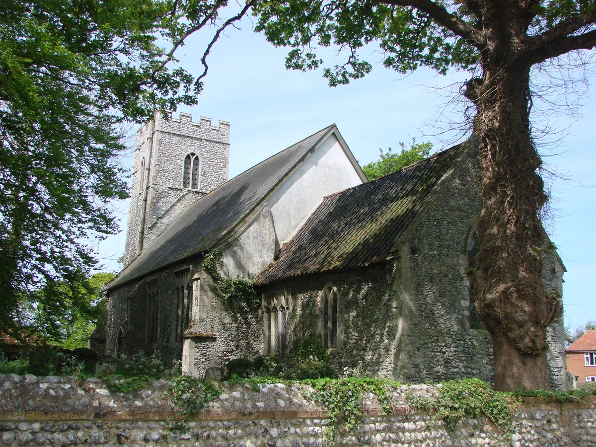
Sustead
Towns & cities · 1.6 km

Aldborough Village Sign
Public art & sculpture · 1.6 km

Sustead Village Sign
Public art & sculpture · 1.6 km

Hanworth Cross
Memorials & monuments · 1.9 km

Metton War Memorial
Memorials & monuments · 1.9 km

Norfolk Children's Book Centre
Natural landmarks · 2.4 km

Wizard Maze & Play
Natural landmarks · 2.5 km
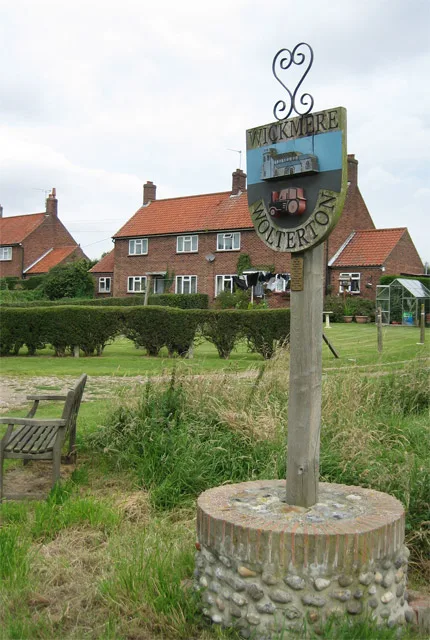
Wickmere
Towns & cities · 2.9 km
Nearby
📷 5📷 3Historic churches · East of England
All Saints Church, Thurgarton
All Saints Church, Thurgarton — church in Thurgarton, Norfolk, England, UK.
📷 5Historic pubs · East of England
Black Boys Public House
Black Boys Public House in England East, United Kingdom.
Flagship📷 3Flagship📷 5Towns & cities · East of England
Sustead
Sustead — village and civil parish in Norfolk, United Kingdom.
📷 3Public art & sculpture · East of England
Aldborough Village Sign
Aldborough Village Sign — a public art in england-east-midlands, United Kingdom.
Where to eat & stay near Hanworth Hall
Places to stay
 📷 5
📷 5Caravan parks · East of England
Southerly (CL) - Roughton
Southerly (CL) - Roughton — a caravan park in england east midlands.
 📷 5
📷 5Campsites · East of England
Deer's Glade Car. & Camp. Park
Deer's Glade Car. & Camp. Park — a campsite in england east midlands.
 📷 5
📷 5Campsites · East of England
Downtide Caravans
Downtide Caravans — a campsite in england east midlands.
 📷 5
📷 5 📷 5
📷 5 📷 5
📷 5Places to eat & drink
📷 5Historic pubs · East of England
Black Boys Public House
Black Boys Public House in England East, United Kingdom.
 📷 5
📷 5Historic pubs · East of England
Saracen's Head
Saracen's Head in England East, United Kingdom.
 📷 5
📷 5Historic pubs · East of England
Vernon Arms
Vernon Arms in England East, United Kingdom.
 📷 5
📷 5Historic pubs · East of England
The White Horse Public House
The White Horse Public House in England East, United Kingdom.
 📷 5
📷 5Historic pubs · East of England
Buckinghamshire Arms Public House
Buckinghamshire Arms Public House in England East, United Kingdom.
 📷 5
📷 5Historic pubs · East of England
The Wellington Public House
The Wellington Public House in England East, United Kingdom.
More historic houses in this region
 📷 5
📷 5Historic houses · East of England
41 and 41a, Broad Street
41 and 41a, Broad Street — Grade II* listed house in Ely, East Cambridgeshire, England, UK.
 📷 5
📷 5Historic houses · East of England
Abbey Gate House
Abbey Gate House — house in St Albans, Hertfordshire, England, UK.
 📷 5
📷 5Historic houses · East of England
Abbey House
Abbey House — house in Cambridge, Cambridgeshire, England, UK.
.jpg?width=1200) 📷 5
📷 5Historic houses · East of England
Amores Including Outbuildings
Amores Including Outbuildings — architectural structure in Hertford, East Hertfordshire, England, UK.
Frequently asked questions
- Where is Hanworth Hall?
- Hanworth Hall is in Norfolk, East of England, United Kingdom (postcode NR11 7HP), in the parish of Hanworth.
- What is Hanworth Hall?
- Hanworth Hall — a Grade I-listed historic house in england-east-midlands, United Kingdom.
- How do I get to Hanworth Hall?
- The nearest railway station is Roughton Road, about 5.8 km away. The nearest town is Aldborough. Drivers can use postcode NR11 7HP.
- Is Hanworth Hall a listed building?
- Hanworth Hall is officially recognised as Grade I listed.
- Is Hanworth Hall a protected site?
- Yes — Hanworth Hall is part of the Norfolk Coast National Landscape (AONB).
- How do I get to Hanworth Hall?
- The nearest railway station is Roughton Road, about 5.8 km away. Drivers can navigate to postcode NR11 7HP.