Country parks · London
Haling Grove
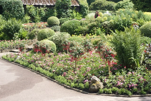
Haling Grove — urban park in London Borough of Croydon, United Kingdom.

Wikimedia Commons contributors — see linked file page for photographer and licence licence
Plan your visit
- Typical visit
- 1.5 h–3 h
- Nearest railway station
- Purley Oaks · 0.7 km
- Free entry
- Family-friendly
- Dog-friendly
About
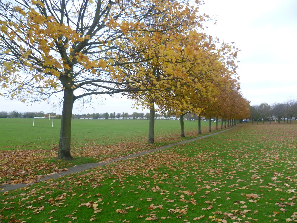
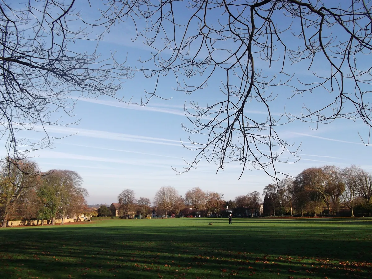
Haling Grove is a country park in the United Kingdom. It covers approximately 10 km². Wikidata describes it as: "urban park in London Borough of Croydon, United Kingdom". Coordinates: 51.3527°, -0.1037°.
Photo gallery
Place summary
Haling Grove is a country park located in Croydon, London, postcode CR2. This green space offers a variety of outdoor activities and is set within an unparished area, providing a tranquil environment for visitors.
AI-generated from the structured facts on this page (operator, designation, listing, era). Not a substitute for visiting.
- Coordinates
- 51.3527, -0.1037
- District
- Croydon
- Parish
- Croydon, unparished area
- Postcode
- CR2 6BN
- Parliamentary constituency
- Croydon South
- Nearest railway station
- Purley Oaks — 0.7 km
Sources
- wikidata: Q115694736 (CC0)
- commons: Haling Grove - geograph.org.uk - 3215942.jpg (CC BY-SA 4.0)
Other places nearby
Loading nearby places…
Nearby
 📷 5
📷 5Country parks · London
Purley Way Playing Fields
Purley Way Playing Fields — urban park in London Borough of Croydon, United Kingdom.
 📷 5
📷 5Chapels · London
South Croydon
South Croydon — a methodist chapel in england-london, United Kingdom.
 📷 5
📷 5Country parks · London
South Croydon Recreation Ground
South Croydon Recreation Ground — urban park in London Borough of Croydon, United Kingdom.
 📷 5
📷 5Galleries · London
Paolo Francis Gallery
Paolo Francis Gallery — a gallery in england-london, United Kingdom.
 📷 5
📷 5Memorials & monuments · London
Croydon Battle of Britain RAF Memorial
Croydon Battle of Britain RAF Memorial is a memorial in the United Kingdom.
 📷 5
📷 5Memorials & monuments · London
Whitgift School War Memorial
Whitgift School War Memorial — Grade II listed building-listed memorial in england-london, United Kingdom.
More places in this region
 Flagship📷 10
Country parks · London
Brockwell Park
Brockwell Park — park in south London, England, UK.
 Flagship📷 10
Country parks · London
Clissold Park
Clissold Park — park in Stoke Newington, London.
 Flagship📷 10
Country parks · London
Coombe Wood
Coombe Wood — woodland and garden area in the London Borough of Croydon.
 Flagship📷 10
Country parks · London
Croham Hurst
Croham Hurst — woodland in Croydon, Greater London, England, United Kingdom.
Frequently asked questions
- Where is Haling Grove?
- Haling Grove is in London, United Kingdom (postcode CR2 6BN), in the parish of Croydon, unparished area.
- Is Haling Grove free to visit?
- Yes, Haling Grove is free to enter.
- How do I get to Haling Grove?
- The nearest railway station is Purley Oaks, about 0.7 km away. Drivers can navigate to postcode CR2 6BN.