Mountains & hills · South West England
Hagley Plain
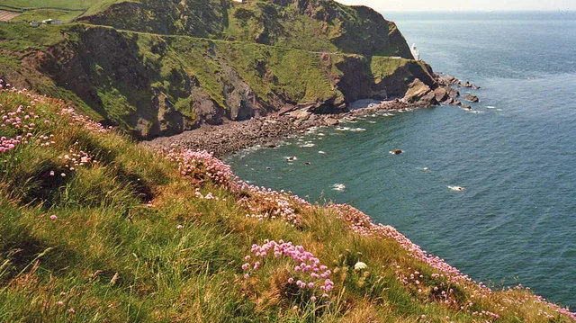
Hagley Plain — a hill or mountain in england south west.

Lewis Clarke — CC BY-SA 2.0 via Wikimedia Commons licence
Plan your visit
- Typical visit
- 3 h–8 h
- Best time of year
- Late spring – early autumn (May–Oct)
About
A British hill or mountain, named on Ordnance Survey maps and walked by hill-baggers. Hagley Plain is a named hill or mountain in england south west, recorded in the GeoNames UK gazetteer. British landmarks of this type are typically marked on Ordnance Survey maps and recorded in the national gazetteer for cartographic and navigational reference. Coordinates and feature classification are sourced from the GeoNames open dataset.
Photo gallery
Place summary
Hagley Plain is a mountain located in South-West England. It is characterised by its expansive views and varied terrain, appealing to walkers and outdoor enthusiasts. Visitors can expect a mix of open moorland and woodland, providing opportunities for exploration and nature observation. The area is suitable for those seeking a tranquil escape in a natural setting.
AI-generated from the structured facts on this page (operator, designation, listing, era). Not a substitute for visiting.
- Coordinates
- 51.0036, -3.3569
Sources
- manual: geonames-12615995 (CC BY 4.0)
Other places nearby
Loading nearby places…
Nearby
 📷 5
📷 5Vineyards · South West England
Castles Camp
Castles Camp — a UK vineyard in england south west, producing English or Welsh wine from cool-climate grape varieties.
 📷 3
📷 3Archaeological sites · South West England
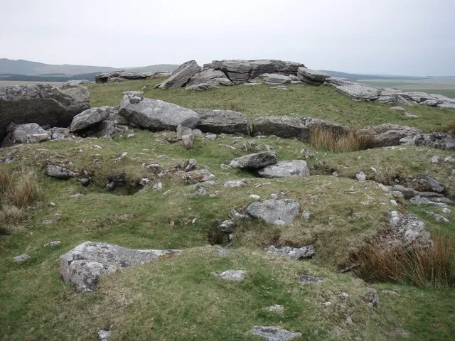
Castles
Castles — a archaeological in england-south-west, United Kingdom.
 📷 5
📷 5Mountains & hills · South West England
Surridge Hill
Surridge Hill — a hill or mountain in england south west.
 📷 5
📷 5Campsites · South West England
Waterrow Touring Park
Waterrow Touring Park — a campsite in england south west.
 📷 5
📷 5Historic churches · South West England
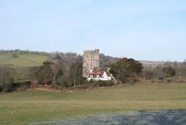
Church of St Michael, Stawley
Church of St Michael, Stawley — church in Stawley, UK.
 📷 5
📷 5Mountains & hills · South West England
Combe Downs
Combe Downs — a hill or mountain in england south west.
Where to eat & stay near Hagley Plain
Places to stay
📷 5Campsites · South West England
Waterrow Touring Park
Waterrow Touring Park — a campsite in england south west.
 📷 5
📷 5Caravan parks · South West England
Lowtrow Cross
Lowtrow Cross — a caravan park in england south west.
 📷 5
📷 5Caravan parks · South West England
Pugham Caravan Park
Pugham Caravan Park — a caravan park in england south west.
 📷 5
📷 5Campsites · South West England
Middle Stone Farm Glamping
Middle Stone Farm Glamping — a campsite in england south west.
 📷 5
📷 5Caravan parks · South West England
Minnows Touring Park
Minnows Touring Park — a caravan park in england south west.
 📷 3
📷 3Campsites · South West England
Middle Stone Farm Glamping
Middle Stone Farm Glamping — a campsite in england south west.
Places to eat & drink
 📷 5
📷 5Restaurants · South West England
The Bridge House Hotel
The Bridge House Hotel — a restaurant in england south west.
 📷 5
📷 5Historic pubs · South West England
The Vintage Public House
The Vintage Public House in England South West, United Kingdom.
 📷 5
📷 5Historic pubs · South West England
Merrimeade Hotel
Merrimeade Hotel in England South West, United Kingdom.
 📷 5
📷 5Historic pubs · South West England
The Ostler Public House
The Ostler Public House in England South West, United Kingdom.
 📷 3
📷 3Historic pubs · South West England
The Chapel
The Chapel — Historic pub — listed building or notable heritage status.
 📷 5
📷 5Historic pubs · South West England
The Ashill Inn
The Ashill Inn in England South West, United Kingdom.
More mountains in this region
 📷 5
📷 5Mountains & hills · South West England
Alex Tor
Alex Tor — Named summit at 291 m.
 📷 5
📷 5Mountains & hills · South West England
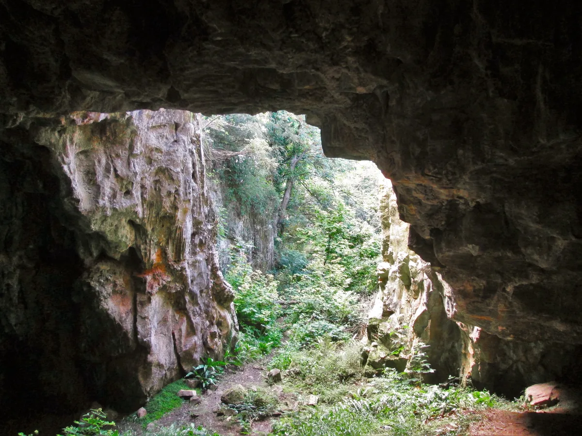
Ash Hole Cavern
Ash Hole Cavern — cave in Brixham, Devon, England, UK.
 📷 5
📷 5Mountains & hills · South West England
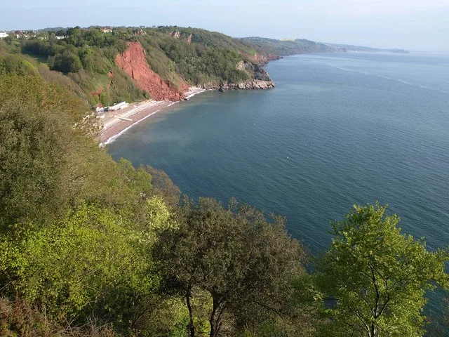
Babbacombe Bay
Babbacombe Bay — bay in Devon, England.
 📷 5
📷 5Mountains & hills · South West England
Barley Bay
Barley Bay — bay in the United Kingdom.
Frequently asked questions
- Where is Hagley Plain?
- Hagley Plain is in South-West England, United Kingdom.
- What is Hagley Plain?
- Hagley Plain — a hill or mountain in england south west.
- How do I get to Hagley Plain?
- Its coordinates are 51.0036°, -3.3569°.