
Archaeological sites · South East England
Hackpen White Horse
In or near Avebury.
Hackpen White Horse — archaeological in england south east.

Vieve Forward — CC BY-SA 2.0 via Wikimedia Commons licence

Plan your visit
- Typical visit
- 45 min–1.5 h
- Nearest railway station
- Lakeside · 9.3 km
About
Hackpen White Horse is a archaeological located in england south east. A British archaeological site recorded in OpenStreetMap with at least one heritage quality signal (Wikidata link, Wikipedia article or designated operator).
Photo gallery
Protected designations
- Area of Outstanding Natural Beauty: Cotswolds
- Area of Outstanding Natural Beauty: North Wessex Downs
Designations sourced from Natural England open data under OGL v3.
Place summary
Hackpen White Horse is an archaeological site located in South-East England. This hill figure is carved into the chalk of the hillside and represents a stylised horse. It is one of several white horses found across the region, contributing to the area's historical landscape.
AI-generated from the structured facts on this page (operator, designation, listing, era). Not a substitute for visiting.
- Coordinates
- 51.4725, -1.8175
- District
- Wiltshire
- Parish
- Winterbourne Bassett
- Postcode
- SN4 9NR
- Parliamentary constituency
- Chippenham
- Nearest railway station
- Lakeside — 9.3 km
Sources
- osm: w350109321 (ODbL)
- wikidata: Q24181322 (CC0)
Other places nearby

Hackpen White Horse
Natural landmarks · 0.0 km

Hackpen Hill
Mountains & hills · 0.4 km
Hackpen Hill
Mountains & hills · 0.5 km

Rough Hill
Mountains & hills · 2.1 km

Winterbourne Bassett
Villages · 2.4 km

Barbury Castle Farm deserted Medieval village
Archaeological sites · 2.6 km
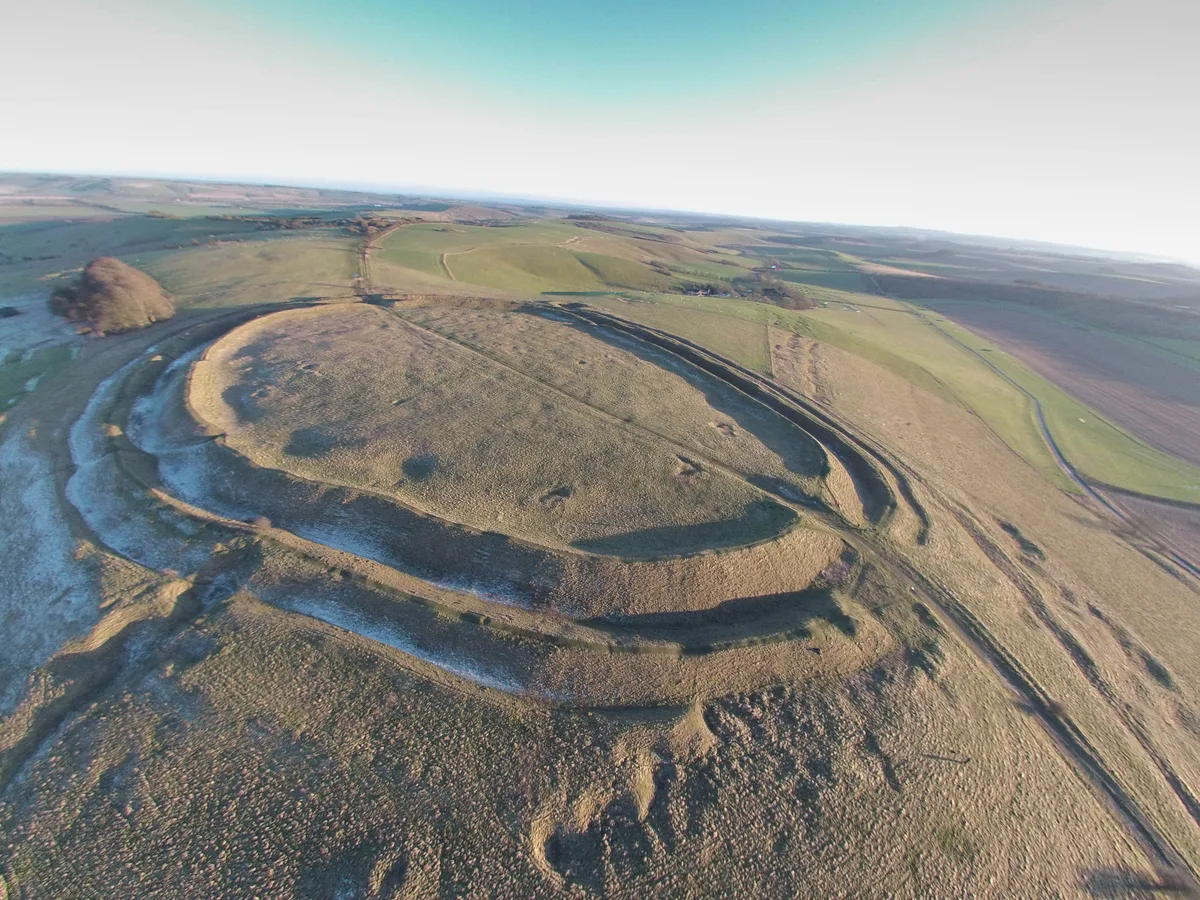
Barbury Castle
Hill forts · 2.6 km

Church of St Katherine and St Peter
Historic churches · 2.6 km

Frampton And Little Monuments In Churchyard, 26 Metres South East Of Chancel, Church Of St Peter
Memorials & monuments · 2.6 km
Arnot And Wilson Monuments In Churchyard, 7 Metres South Of Nave, Church Of St Peter
Memorials & monuments · 2.7 km

Tuckwell Monument In Churchyard, 4 Metres North Of Chancel, Church Of St Peter
Memorials & monuments · 2.7 km

Smith Monument In Churchyard, 7 Metres North Of Chancel, Church Of St Peter
Memorials & monuments · 2.7 km
Nearby
📷 5Natural landmarks · South East England
Hackpen White Horse
Hackpen White Horse — a place in South East England, United Kingdom.
📷 5Mountains & hills · South East England
Hackpen Hill
Hackpen Hill — mountain in england south east. Elevation: 273 m.
📷 5Mountains & hills · South East England
Hackpen Hill
Hackpen Hill — a hill or mountain in england south east.
📷 5Mountains & hills · South East England
Rough Hill
Rough Hill — mountain in england south east. Elevation: 243 m.
📷 5Villages · South West England
Winterbourne Bassett
Winterbourne Bassett — a village in england south east.
📷 5Archaeological sites · South East England
Barbury Castle Farm deserted Medieval village
Barbury Castle Farm deserted Medieval village — archaeological site in Ogbourne St Andrew, Wiltshire, England, UK.
Where to eat & stay near Hackpen White Horse
Places to stay
 📷 5📷 5
Campsites · South East England
Chilton Farm County Guide Campsite
Chilton Farm County Guide Campsite — a campsite in england south east.
 📷 5
 📷 5
Campsites · South West England
Escape To The Fields
Escape To The Fields — a campsite in england south east.
 📷 7
Hotels · South East England
Castle & Ball Hotel
Castle & Ball Hotel — a hotel in england south east.
 📷 7
Places to eat & drink
 📷 5
Historic pubs · South East England
The White Hart
The White Hart — Historic pub — listed building or notable heritage status.
 📷 7
 📷 7
Historic pubs · South West England
The Queens Head Inn
The Queens Head Inn in England South West, United Kingdom.
 📷 7
Cafés · South East England
St Peter's and St Paul's
St Peter's and St Paul's — a café in england south east.
 📷 5
Historic pubs · South West England
Pig On The Hill Public House
Pig On The Hill Public House in England South West, United Kingdom.
 📷 7
More archaeological sites in this region
 📷 5
Archaeological sites · South East England
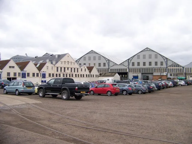
Chatham Dockyard, site of South Mast Pond
Chatham Dockyard, site of South Mast Pond — archaeological site in Medway, Kent, England, UK.
 📷 5
Archaeological sites · South East England
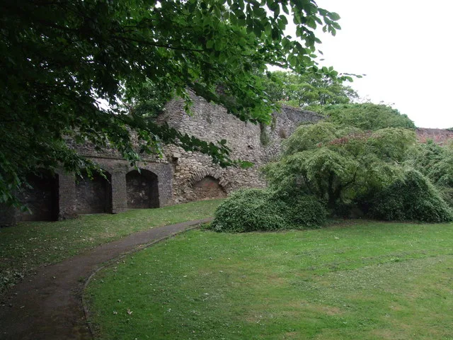
Open areas within Roman, Saxon and medieval town
Open areas within Roman, Saxon and medieval town — archaeological site in Medway, Kent, England, UK.
 📷 5
Archaeological sites · South East England
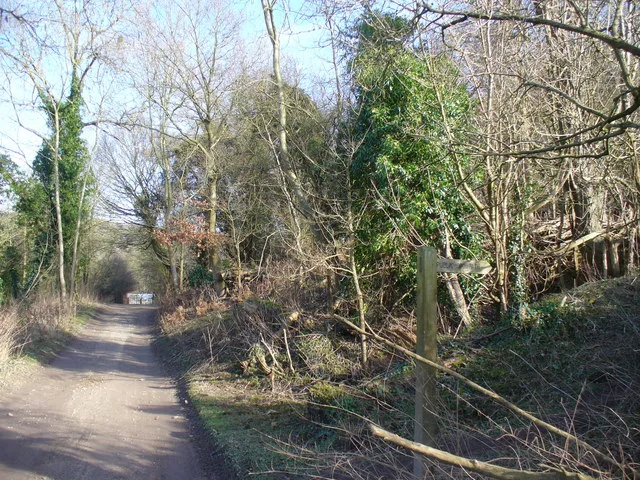
Oxmoor Copse
Oxmoor Copse — woodland in Surrey, England.
 📷 5
Frequently asked questions
- Where is Hackpen White Horse?
- Hackpen White Horse is in South-East England, United Kingdom (postcode SN4 9NR), in the parish of Winterbourne Bassett.
- What is Hackpen White Horse?
- Hackpen White Horse — archaeological in england south east.
- How do I get to Hackpen White Horse?
- The nearest railway station is Lakeside, about 9.3 km away. The nearest town is Avebury. Drivers can use postcode SN4 9NR.
- Is Hackpen White Horse a protected site?
- Yes — Hackpen White Horse is part of the Cotswolds National Landscape (AONB) and the North Wessex Downs National Landscape (AONB).
- How do I get to Hackpen White Horse?
- Drivers can navigate to postcode SN4 9NR. It sits within the Chippenham parliamentary constituency.