
Mountains & hills · South East England
Gurnard Bay
In or near Carisbrooke.
Gurnard Bay — bay on the north coast of the Isle of Wight, England, UK.

Wikimedia Commons contributors — see linked file page for photographer and licence licence

Plan your visit
- Typical visit
- 3 h–8 h
- Best time of year
- Late spring – early autumn (May–Oct)
- Nearest railway station
- Exbury Central · 6.5 km
- Free entry
- Dog-friendly
Getting there & planning your visit
Gurnard Bay is located in the Isle of Wight, with the nearest railway station being Exbury Central, which is 6.5 km away. The postcode for Gurnard Bay is PO31 8BZ. Entry is free.
About
Gurnard Bay is a named summit in the United Kingdom. Wikidata describes it as: "bay on the north coast of the Isle of Wight, England, UK". Coordinates: 50.7650°, -1.3300°.
Photo gallery
Protected designations
- Site of Special Scientific Interest: North Solent SSSI
- National Nature Reserve: NORTH SOLENT
- Area of Outstanding Natural Beauty: Isle Of Wight
- Ramsar wetland: Solent & Southampton Water
Designations sourced from Natural England open data under OGL v3.
From the Wikipedia article
Gurnard Bay is a bay on the north-west coast of the Isle of Wight, England, in the western arm of the Solent. It lies to the north-west of the village of Gurnard from which it takes its name. Its shoreline is 1+1⁄4 miles (2.0 km) in length and is gently curving. It stretches from Gurnard Head in the west to Egypt Point to the east. A panoramic view of the bay and the village of Gurnard can be seen from ferries approaching Cowes or East Cowes from the Solent. There is a pebble and shingle beach on the bay which is bordered by a row of municipally owned beach huts. Watersports are popular pastimes in the bay, and the Gurnard Sailing Club is located at its eastern end. The bay is best viewed and accessed from the green at Gurnard.
Excerpt from Wikipedia under CC BY-SA 4.0. See the source article linked in Sources below.
Background
History
On the former land to the west of Gurnard Marsh was one of the island's main harbours for "common passage" to the mainland. Protecting the harbour stood Gurnard Fort, built around 1600, however by the 17th century it was abandoned as Cowes had then rapidly grown to be the main commercial port for the island. The remains of the fort were rediscovered in 1864, during an excavation of a Roman villa which stood on the same site, the area on which they stood has now since been destroyed by the sea and lies some distance into the bay. The wreckage of a downed World War II German bomber lies in the bay not too far from Egypt Point.
Sourced from Wikipedia under CC BY-SA 4.0.
- Coordinates
- 50.7650, -1.3300
- District
- Isle of Wight
- Parish
- Gurnard
- Postcode
- PO31 8BZ
- Parliamentary constituency
- Isle of Wight West
- Nearest railway station
- Exbury Central — 6.5 km
Sources
- wikidata: Q5620200 (CC0)
- wikipedia: Gurnard Bay (CC BY-SA 4.0)
- commons: Gurnard beach in August 2012.jpg (CC BY-SA 4.0)
Other places nearby

Gurnard Beach
Beaches · 0.5 km

Gurnard Bay
Natural landmarks · 0.6 km
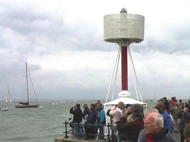
Egypt Point light
Lighthouses · 1.2 km
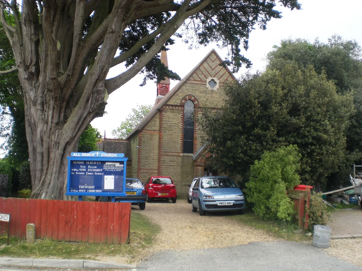
All Saints' Church, Gurnard
Historic churches · 1.4 km

Gurnard Pines Holiday Camp
Caravan parks · 1.8 km

Cowes War Memorial
Memorials & monuments · 1.9 km

Holy Trinity Church, Cowes
Historic churches · 1.9 km
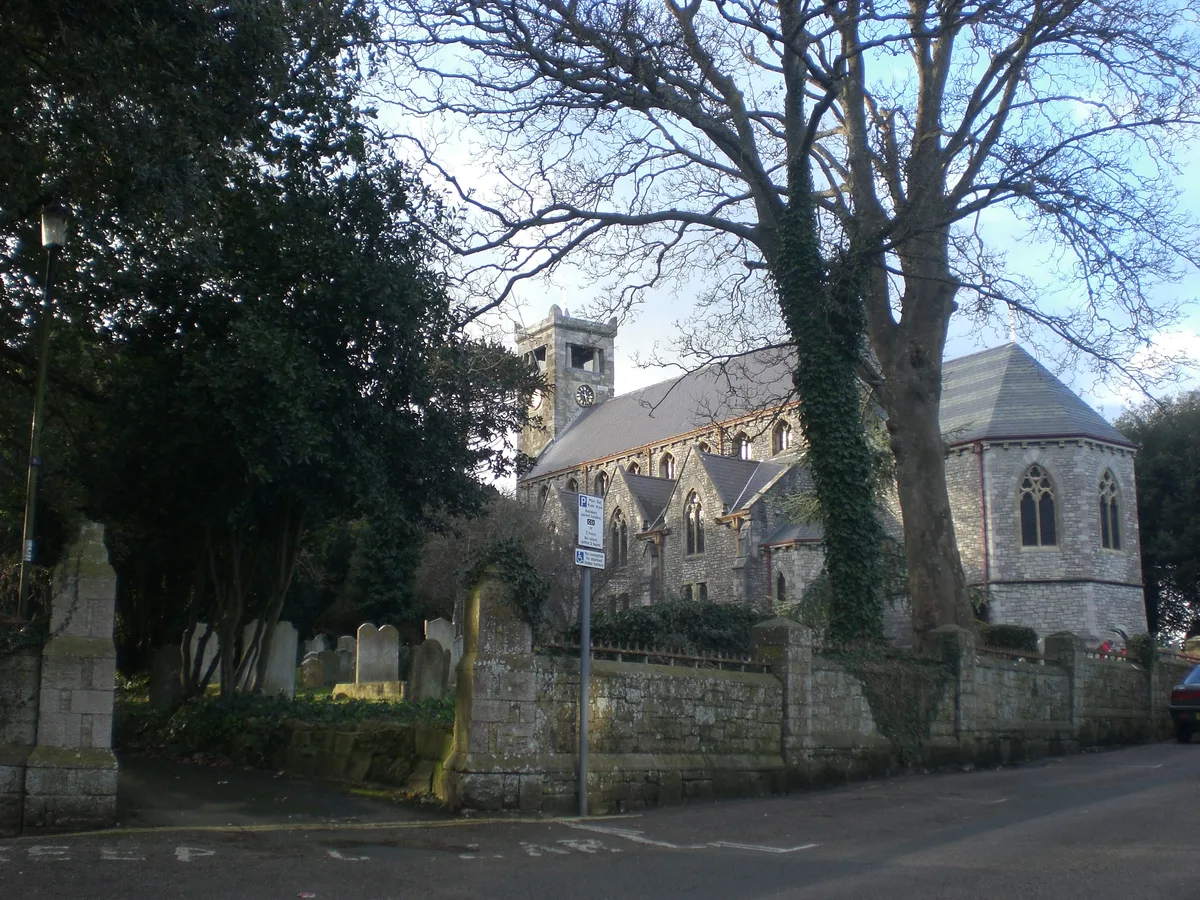
St. Mary's Church, Cowes
Historic churches · 2.0 km
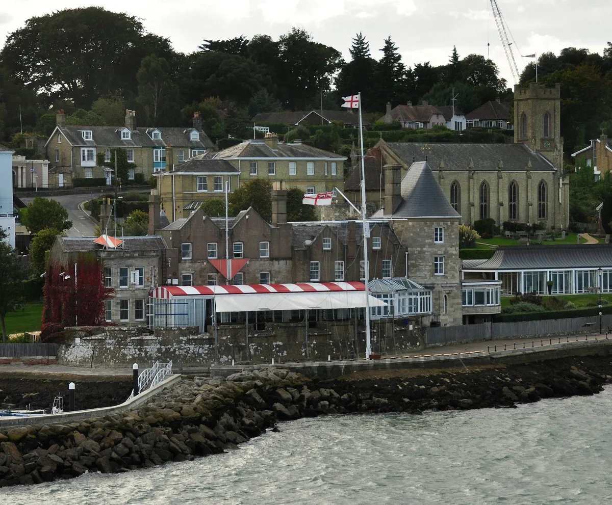
West Cowes Castle
Castles · 2.0 km

Cowes Castle - Royal Yacht Squadron
Castles · 2.0 km

Royal Yacht Squadron Cannons
Memorials & monuments · 2.1 km

Trinity Theatre
Theatres · 2.1 km
Nearby
📷 5📷 5Natural landmarks · South East England
Gurnard Bay
Gurnard Bay — a natural feature in england south east.
📷 5Lighthouses · South East England
Egypt Point light
Egypt Point light — lighthouse in Isle of Wight, England.
📷 5Historic churches · South East England
All Saints' Church, Gurnard
All Saints' Church, Gurnard — church in United Kingdom.
📷 5Caravan parks · South East England
Gurnard Pines Holiday Camp
Gurnard Pines Holiday Camp — a caravan park in england south east.
📷 5Memorials & monuments · South East England
Cowes War Memorial
Cowes War Memorial — Grade II listed building-listed memorial in england-south-east, United Kingdom.
Where to eat & stay near Gurnard Bay
Places to stay
📷 5Caravan parks · South East England
Gurnard Pines Holiday Camp
Gurnard Pines Holiday Camp — a caravan park in england south east.
 📷 7
📷 7 📷 7
📷 7B&Bs · South East England
Endeavour House
Endeavour House — a bed-and-breakfast in england south east.
 📷 5
📷 5 📷 5
📷 5B&Bs · South East England
The Duke of York
The Duke of York — a bed-and-breakfast in england south east.
 📷 4
📷 4Caravan parks · South East England
Comforts Farm (Caravan Park)
Comforts Farm (Caravan Park) — a caravan park in england south east.
Places to eat & drink
 📷 5
📷 5Restaurants · South East England
Call It What You Want
Call It What You Want — a restaurant in england south east. Cuisine: american;barbecue.
 📷 6
📷 6Restaurants · South East England
Cowes Tandoori
Cowes Tandoori — a restaurant in england south east.
 📷 5
📷 5 📷 5
📷 5Historic pubs · South East England
Master Builder's House Hotel
Master Builder's House Hotel in England South East, United Kingdom.
 📷 5
📷 5 📷 5
📷 5More mountains in this region
 📷 5
📷 5 📷 5
📷 5Mountains & hills · South East England
Reigate Caves
Reigate Caves is a mountain or hill in the United Kingdom.
 📷 5
📷 5Mountains & hills · South East England
North Downs
North Downs — a hill or mountain in england london.
 📷 5
📷 5Mountains & hills · South East England
Blue Bell Hill
Blue Bell Hill — a hill or mountain in england london.
Frequently asked questions
- Where is Gurnard Bay?
- Gurnard Bay is in South-East England, United Kingdom (postcode PO31 8BZ), in the parish of Gurnard.
- What is Gurnard Bay?
- Gurnard Bay — bay on the north coast of the Isle of Wight, England, UK.
- How do I get to Gurnard Bay?
- The nearest railway station is Exbury Central, about 6.5 km away. Drivers can use postcode PO31 8BZ.
- Is Gurnard Bay a protected site?
- Yes — Gurnard Bay is part of the North Solent SSSI Site of Special Scientific Interest and the NORTH SOLENT National Nature Reserve.
- Is Gurnard Bay free to visit?
- Yes, Gurnard Bay is free to enter.
- How do I get to Gurnard Bay?
- The nearest railway station is Exbury Central, about 6.5 km away. Drivers can navigate to postcode PO31 8BZ.