
Viewpoints · Central Scotland
Gunpowder Hut
Gunpowder Hut is a viewpoint in the United Kingdom.

Nigel Chadwick — CC BY-SA 2.0 via Wikimedia Commons licence
_on_a_rocky_foreshore%2C_South_of_Seahouses_Harbour_-_geograph.org.uk_-_179712.jpg)
Plan your visit
- Typical visit
- 20 min–45 min
- Best time of year
- Clear days year-round
- Nearest railway station
- Chathill · 6.3 km
- Free entry
- Dog-friendly
About
Gunpowder Hut is a named viewpoint in central Scotland, marked on Ordnance Survey maps for its outlook. The site is within the Northumberland Coast National Landscape (AONB), and is a designated Site of Special Scientific Interest. It sits within the North Northumberland parliamentary constituency. The nearest railway station is Chathill, about 6.3 km away. Postcode area NE68.
Photo gallery
Protected designations
- Site of Special Scientific Interest: Northumberland Shore SSSI
- Area of Outstanding Natural Beauty: Northumberland Coast
- Ramsar wetland: Northumbria Coast
Designations sourced from Natural England open data under OGL v3.
From the Wikipedia article
Gunpowder artillery in the Middle Ages primarily consisted of the introduction of the cannon, large tubular firearms designed to fire a heavy projectile over a long distance. Guns, bombs, rockets and cannons were first invented in China during the Han and Song dynasties and then later spread to Europe and the Middle East during the period. Although gunpowder was known in Europe during the High Middle Ages due to the usage of guns and explosives by the Mongols and the Chinese firearms experts employed by them as mercenaries during the Mongol conquests of Europe, it was not until the Late Middle Ages that European versions of cannons were widely developed. Their use was also first documented in the Middle East around this time. English cannons first appeared in 1327, and later saw more general use during the Hundred Years' War, when primitive cannons were employed at the Battle of Crécy in 1346. By the end of the 14th century, the use of cannons was also recorded as being used by the Swedes, Poles, Russians, Byzantines and Ottomans. The earliest medieval cannon, the pot-de-fer, had a bulbous, vase-like shape, and was used more for psychological effect than physical damage. The later culverin was transitional between the handgun and the full cannon, and was used as an anti-personnel weapon. During the 15th century, cannons advanced significantly, so that bombards were effective siege engines. Towards the end of the period, the cannon gradually replaced siege engines—among other forms of aging weaponry—on the battlefield. The Middle English word Canon was derived from the Tuscan word cannone, meaning large tube, which came from Latin canna, meaning cane or reed. The Latinised word canon has been used for a gun since 1326 in Italy, and since 1418 in English. The word Bombardum, or "bombard", was the earliest term used for "cannon", but from 1430 it came to refer only to the largest weapons.
Excerpt from Wikipedia under CC BY-SA 4.0. See the source article linked in Sources below.
- Coordinates
- 55.5821, -1.6454
- District
- Northumberland
- Parish
- North Sunderland
- Postcode
- NE68 7RB
- Parliamentary constituency
- North Northumberland
- Nearest railway station
- Chathill — 6.3 km
Sources
- osm: n4419424098 (ODbL)
- wikipedia: Gunpowder artillery in the Middle Ages (CC BY-SA 4.0)
Other places nearby
Loading nearby places…
Nearby
 📷 5
📷 5Natural landmarks · Central Scotland
Lowgos Bay
Lowgos Bay — a natural feature in scotland central.
 📷 3
📷 3Harbours & ports · Central Scotland
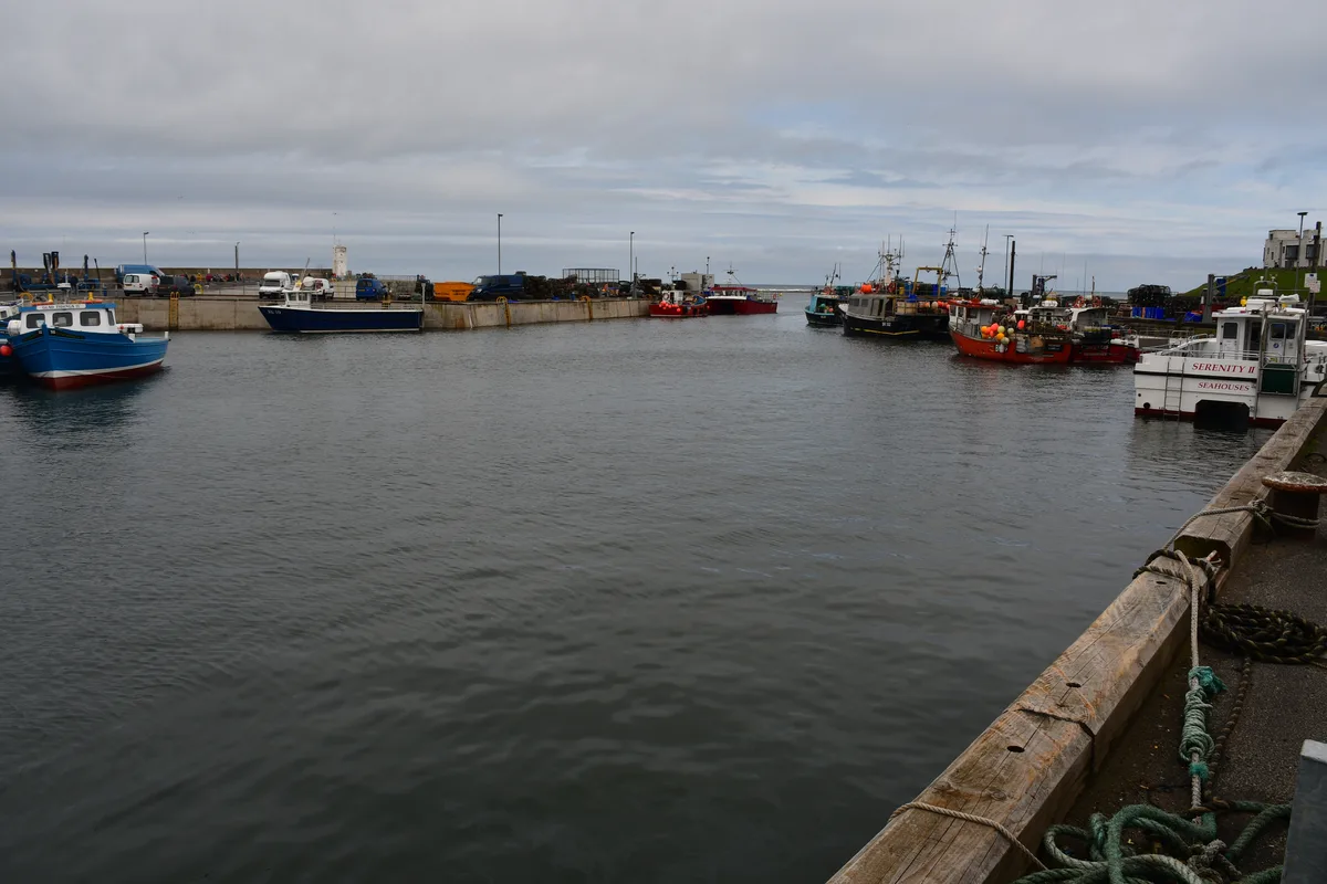
North Sunderland harbour
North Sunderland harbour — harbour at Seahouses, Northumberland, England, UK.
 📷 3
📷 3Lighthouses · Central Scotland
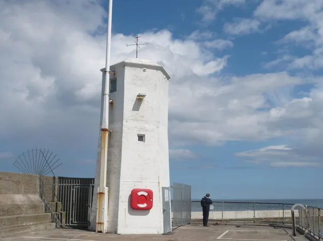
Seahouses Lighthouse
Seahouses Lighthouse — lighthouse in North Sunderland, England.
 📷 5
📷 5Hotels · Central Scotland
Bamburgh Castle Inn
Bamburgh Castle Inn — a hotel in scotland central.
 📷 3
📷 3Memorials & monuments · Central Scotland
Seahouses War Memorial
Seahouses War Memorial — Grade II listed building-listed memorial in scotland-central, United Kingdom.
 📷 4
📷 4Harbours & ports · North East England
Seahouses Lifeboat Station
Seahouses Lifeboat Station in England North East, United Kingdom.
More viewpoints in this region
 📷 3
📷 3Viewpoints · Central Scotland
1745 Battlefield Viewpoint
1745 Battlefield Viewpoint is a viewpoint in the United Kingdom.
 📷 3
📷 3Viewpoints · Central Scotland
Aidans Brae Viewpoint
Aidans Brae Viewpoint is a viewpoint in the United Kingdom.
 📷 3
📷 3Viewpoints · Central Scotland
Alloa Dock
Alloa Dock is a viewpoint in the United Kingdom.
 📷 3
📷 3Viewpoints · Central Scotland
Altarstanes
Altarstanes is a viewpoint in the United Kingdom.
Frequently asked questions
- Where is Gunpowder Hut?
- Gunpowder Hut is in central Scotland, United Kingdom (postcode NE68 7RB), in the parish of North Sunderland.
- What is Gunpowder Hut?
- Gunpowder Hut is a viewpoint in the United Kingdom.
- How do I get to Gunpowder Hut?
- The nearest railway station is Chathill, about 6.3 km away. Drivers can use postcode NE68 7RB.
- Is Gunpowder Hut a protected site?
- Yes — Gunpowder Hut is part of the Northumberland Shore SSSI Site of Special Scientific Interest and the Northumberland Coast National Landscape (AONB).
- Is Gunpowder Hut free to visit?
- Yes, Gunpowder Hut is free to enter.
- How do I get to Gunpowder Hut?
- The nearest railway station is Chathill, about 6.3 km away. Drivers can navigate to postcode NE68 7RB.