Natural landmarks · Scottish Lowlands
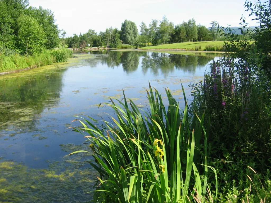
Greenlee Lough
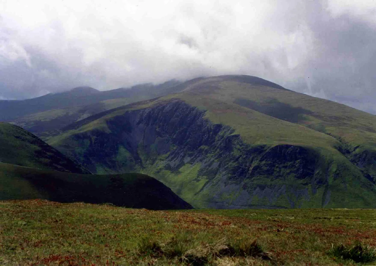
Greenlee Lough — lake in the United Kingdom.

Wikimedia Commons contributors — see linked file page for photographer and licence licence
Plan your visit
- Typical visit
- 1 h–2 h
- Nearest railway station
- Bardon Mill · 4.7 km
- Free entry
- Dog-friendly
About
Greenlee Lough is a named natural landmark in the United Kingdom. Wikidata describes it as: "lake in the United Kingdom". Coordinates: 55.0170°, -2.3500°.
Photo gallery
Protected designations
- Site of Special Scientific Interest: Roman Wall Loughs SSSI
- Site of Special Scientific Interest: River Eden and Tributaries SSSI
- Site of Special Scientific Interest: Roman Wall Escarpments SSSI
- National Nature Reserve: GREENLEE LOUGH
Designations sourced from Natural England open data under OGL v3.
From the Wikipedia article
Greenlee Lough is a lough or lake and national nature reserve 3 miles (5 km) north of Bardon Mill, and 1.5 miles (2.4 km) north of the B6318 road in Northumberland, northern England. The lough is owned and managed as a nature reserve by the Northumberland Wildlife Trust and the Northumberland National Park. It is a shallow lake fringed with water plants. Most of the reserve is open water. The lake's edge has reedbed, herb fen and blanket bog. It is used extensively by wildfowl and waders that feed in the shallow waters and wetlands. The lough was used as a reservoir by the Romans on Hadrian's Wall. Greenlee Sailing Club sailed GP14s, and later Lasers, and Mirrors throughout the 60s. The club closed down in the 70s due to the land owners selling the estate and the new owner not wishing to grant access. The white-clawed crayfish Austropotamobius pallipes is present in the Lough. The species is in decline in Europe, Great Britain, and in northeast England, and is the only crayfish native to the British Isles. The crayfish can grow up to a length of sixteen centimeters and are nocturnal. Male adults possess a green fluorescent protein (GFP, 27 kDa) in their flexible abdomen that serves as the ultimate light emitter in the bioluminescence reaction of the animal. The protein is made up of 238 amino acid residues in a single polypeptide chain and produces a greenish fluorescence (λmax = 508 nm) when irradiated with long ultraviolet light. The fluorescence is due to the presence of a chromophore consisting of an imidazolone ring, formed by a post-translational modification of the tripeptide -Ser65-Tyr66-Gly67-. It is likely that crayfish have never been widespread in Northumberland National Park as their preferred habitat of calcareous burns, rivers, and lakes is very limited. A fine preserved example of a thirteen-inch specimen can be seen in the lounge bar of the "Jingling Gate" public house near Westerhope. Viewing is only by prior arrangement.
Excerpt from Wikipedia under CC BY-SA 4.0. See the source article linked in Sources below.
- Coordinates
- 55.0170, -2.3500
- District
- Northumberland
- Parish
- Bardon Mill
- Postcode
- NE47 7AT
- Parliamentary constituency
- Hexham
- Nearest railway station
- Bardon Mill — 4.7 km
Sources
- wikidata: Q5604294 (CC0)
- wikipedia: Greenlee Lough (CC BY-SA 4.0)
- commons: Greenlee Lough - geograph.org.uk - 1448129.jpg (CC BY-SA 4.0)
Other places nearby
Loading nearby places…
Nearby
 📷 3
📷 3Archaeological sites · Scottish Lowlands
Stone circle, defended settlement, Romano-British farmstead and field system, Roman camp and group of shielings immediately south of Greenlee Lough
Stone circle, defended settlement, Romano-British farmstead and field system, Roman camp and group of shielings immediately south of Greenlee Lough — archaeological site in Bardon Mill, Northumberland, England, UK.
 📷 5
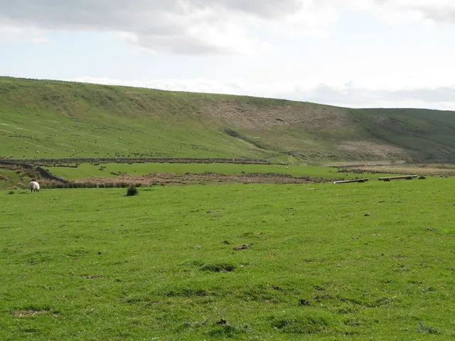
📷 5Mountains & hills · Scottish Lowlands
Hotbank Crags
Hotbank Crags — a hill or mountain in scotland lowlands.
 📷 5
📷 5Long-distance walking trails · North East England
Hadrian's Wall Path
An 84-mile National Trail following the line of Hadrian's Wall, the Roman frontier fortification, coast to coast across northern England from Wallsend on the Tyne to Bowness-on-Solway on the Cumbrian coast.
 📷 3
📷 3Archaeological sites · North East England
Milecastle 37
Milecastle 37 in England North East, United Kingdom.
 📷 3
📷 3Farms (open to visitors) · North East England
Milecastle 38
Milecastle 38 in England North East, United Kingdom.
 📷 3
📷 3Museums · Scottish Lowlands
Housesteads Museum
Housesteads Museum — a museum in scotland-lowlands, United Kingdom.
Where to eat & stay near Greenlee Lough
Places to stay
 📷 5
📷 5Hostels · Scottish Lowlands
YHA The Sill
YHA The Sill — a hostel in scotland lowlands.
 📷 5
📷 5Campsites · Scottish Lowlands
Winshields Farm Campsite
Winshields Farm Campsite — a campsite in scotland lowlands.
 📷 5
📷 5B&Bs · Scottish Lowlands
Old Repeater Station
Old Repeater Station — a bed-and-breakfast in scotland lowlands.
 📷 5
📷 5Campsites · Scottish Lowlands
Hadrian's Wall Campsite
Hadrian's Wall Campsite — a campsite in scotland lowlands.
 📷 5
📷 5Campsites · Scottish Lowlands
Stonehaugh Campsite
Stonehaugh Campsite — a campsite in scotland lowlands.
 📷 5
📷 5Caravan parks · Scottish Lowlands
Herding Hill Farm Camping
Herding Hill Farm Camping — a caravan park in scotland lowlands.
Places to eat & drink
 📷 5
📷 5Historic pubs · North East England
Whitfield
Whitfield in England North East, United Kingdom.
 📷 5
📷 5Cafés · Scottish Lowlands
Shire Gate
Shire Gate — a café in scotland lowlands.
 📷 4
📷 4Historic pubs · North East England
Kingwater
Kingwater in England North East, United Kingdom.
 📷 4
📷 4Historic pubs · North East England
Hallbankgate
Hallbankgate in England North East, United Kingdom.
More natural landmarks in this region
 Flagship📷 3
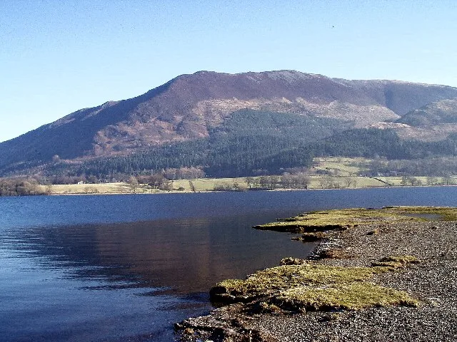
Natural landmarks · Scottish Lowlands
Bassenthwaite Lake
Bassenthwaite Lake — lake in Cumbria, England, UK.
 Flagship📷 3
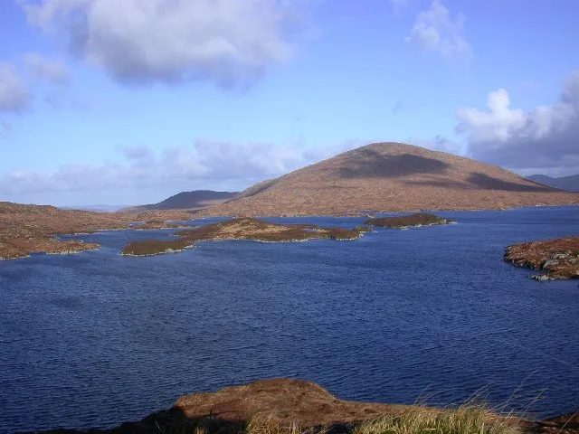
Natural landmarks · Scottish Lowlands
Loch Enoch
Loch Enoch — lake in Dumfries and Galloway, Scotland, UK.
 📷 5
📷 5Natural landmarks · Scottish Lowlands
Annandale Water
Annandale Water — lake in Dumfries and Galloway, Scotland, UK.
 📷 3
📷 3Natural landmarks · Scottish Lowlands
Bakestall
Bakestall — mountain in United Kingdom.
Frequently asked questions
- Where is Greenlee Lough?
- Greenlee Lough is in the Scottish Lowlands, United Kingdom (postcode NE47 7AT), in the parish of Bardon Mill.
- What is Greenlee Lough?
- Greenlee Lough — lake in the United Kingdom.
- How do I get to Greenlee Lough?
- The nearest railway station is Bardon Mill, about 4.7 km away. Drivers can use postcode NE47 7AT.
- Is Greenlee Lough a protected site?
- Yes — Greenlee Lough is part of the Roman Wall Loughs SSSI Site of Special Scientific Interest and the River Eden and Tributaries SSSI Site of Special Scientific Interest.
- Is Greenlee Lough free to visit?
- Yes, Greenlee Lough is free to enter.
- How do I get to Greenlee Lough?
- The nearest railway station is Bardon Mill, about 4.7 km away. Drivers can navigate to postcode NE47 7AT.