
Reservoirs & lochs · Central Scotland
Great Trossachs Path
In or near Brig o' Turk.
Great Trossachs Path in Scotland Islands, United Kingdom.

Stephen Sweeney — CC BY-SA 2.0 via Wikimedia Commons licence

Plan your visit
- Typical visit
- 1 h–2.5 h
- Free entry
- Dog-friendly
- Limited wheelchair access
About
Great Trossachs Path is a place of interest in Scotland Islands, United Kingdom — drawn from open-data sources for visitor reference. See the linked Wikipedia article for the full description.
Photo gallery
From the Wikipedia article
The Great Trossachs Path is a 48-kilometre (30 mi) long-distance footpath through the Trossachs, in the Stirling council area of Scotland. It runs between Callander in the east and Inversnaid on the banks of Loch Lomond in the west, passing along the northern shores of Loch Katrine and Loch Arklet. The path is suitable for walkers and cyclists; much of the route is also suitable for experience horse riders, although the middle section along the shoreline of Loch Katrine is tarmacked and so may not be ideal for horses. The path is listed as one of Scotland's Great Trails by NatureScot, and also links to two of the other Great Trails, the West Highland Way and the Rob Roy Way. It is also possible to link the path with two further Great Trails via the ferry across Loch Lomond from Inversnaid to Inveruglas, which is the terminus of both the Three Lochs Way and the Cowal Way. The path also links to National Cycle Route 7 at Callander. Launched in April 2015, the path lies almost completely within the Great Trossachs Forest National Nature Reserve. The reserve is considered to be a "forest in the making", and is managed jointly by Forestry and Land Scotland, RSPB Scotland and Woodland Trust Scotland. The national nature reserve project aims to deliver a varied landscape that provides habitats for species that are otherwise rare in Britain, including black grouse, golden eagle, osprey, wildcat, pine marten, red squirrel, water vole and otter.
Excerpt from Wikipedia under CC BY-SA 4.0. See the source article linked in Sources below.
- Coordinates
- 56.2337, -4.4288
- District
- Stirling
- Postcode
- FK17 8HZ
- Parliamentary constituency
- Stirling and Strathallan
- Established
- 2015
- Official site
- thegreattrossachsforest.co.uk
Sources
- wikidata: Q60301043 (CC0)
- wikipedia: Great Trossachs Path (CC BY-SA 4.0)
Other places nearby

Centenary Drinking Fountain
Memorials & monuments · 0.0 km

Loch Katrine Eco Camp
Campsites · 0.2 km

Craig Leven
Mountains & hills · 0.3 km

Dun Achray
Mountains & hills · 0.6 km

Trossachs
Mountains & hills · 0.6 km
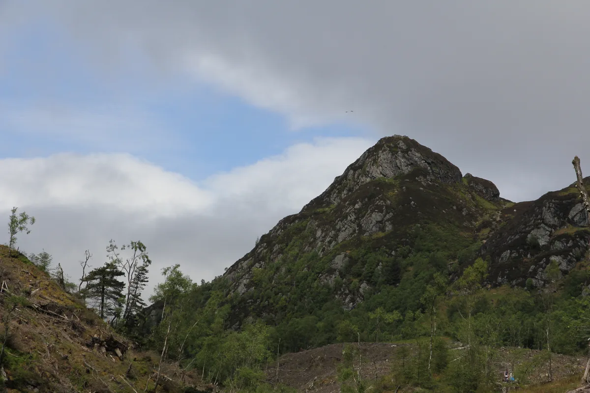
Ben A'an
Mountains & hills · 1.2 km

Ellen's Isle
Islands · 1.3 km

Loch Achray South camping permit area March-September
Campsites · 1.6 km

Achray Church
Historic churches · 2.0 km

Ben Venue East Top
Mountains & hills · 2.2 km
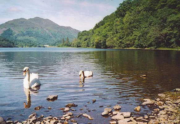
Loch Achray
Natural landmarks · 2.2 km
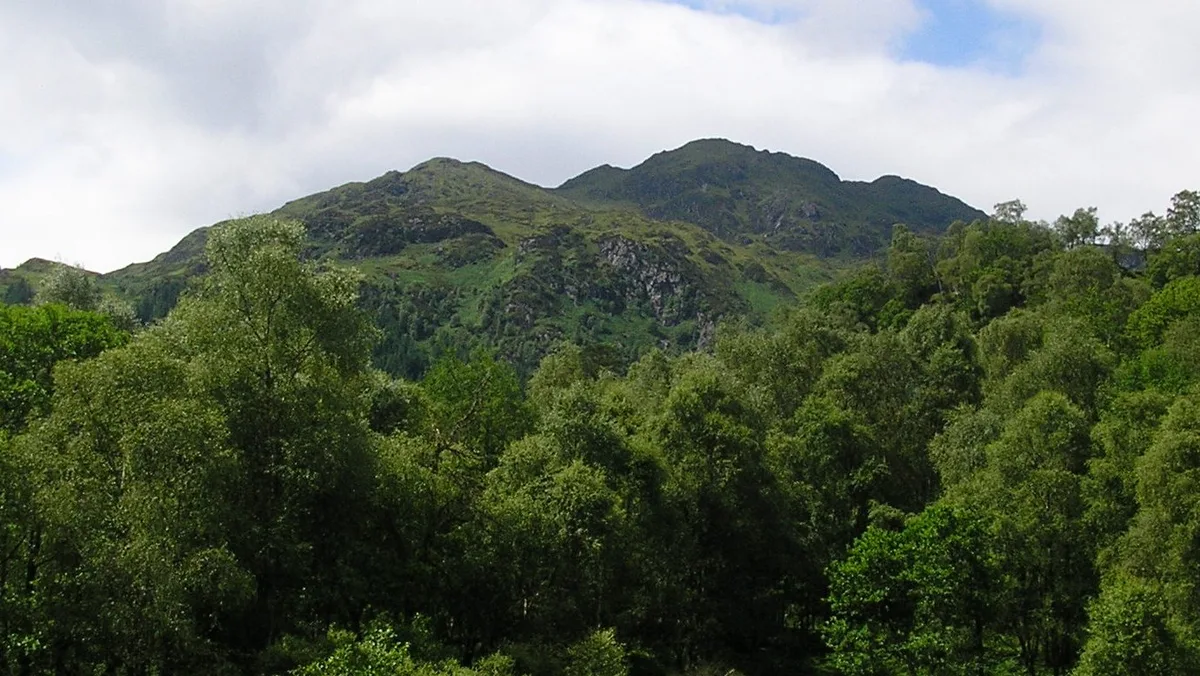
Ben Venue
Mountains & hills · 2.3 km
Nearby
📷 3Memorials & monuments · Central Scotland
Centenary Drinking Fountain
Centenary Drinking Fountain — a memorial in scotland-central, United Kingdom.
📷 5Campsites · Central Scotland
Loch Katrine Eco Camp
Loch Katrine Eco Camp — a campsite in scotland central.
📷 5Mountains & hills · Central Scotland
Craig Leven
Craig Leven — a hill or mountain in scotland central.
📷 5📷 5📷 5Where to eat & stay near Great Trossachs Path
Places to stay
📷 5Campsites · Central Scotland
Loch Katrine Eco Camp
Loch Katrine Eco Camp — a campsite in scotland central.
📷 5Campsites · Central Scotland
Loch Achray South camping permit area March-September
Loch Achray South camping permit area March-September — a campsite in scotland central.
 📷 5
📷 5Campsites · Central Scotland
Loch Achray Campsite
Loch Achray Campsite — a campsite in scotland central.
 📷 5
📷 5Hotels · Central Scotland
Macdonald Forest Hills Hotel & Spa
Macdonald Forest Hills Hotel & Spa — a hotel in scotland central.
 📷 5
📷 5Campsites · Central Scotland
Loch Chon Campsite
Loch Chon Campsite — a campsite in scotland highlands.
 📷 5
📷 5Campsites · Central Scotland
Loch Ard camping permit area March-September
Loch Ard camping permit area March-September — a campsite in scotland central.
Places to eat & drink
 📷 5
📷 5Historic pubs · Central Scotland
The Drovers Inn
The Drovers Inn — Historic pub — listed building or notable heritage status.
More places in this region
 📷 5
📷 5 📷 3
📷 3Reservoirs & lochs · Central Scotland
Allt na Lairige Reservoir
Allt na Lairige Reservoir — 1956 artificial lake in Argyll and Bute, Scotland, UK, on and outflowing west to Allt na Lairige.
.jpg?width=1200) 📷 3
📷 3Reservoirs & lochs · Central Scotland
Ardlussa Fishing Loch
Ardlussa Fishing Loch — 1900 artificial lake on Jura, Argyll and Bute, Scotland, UK, on the Lussa River.
 📷 3
📷 3Reservoirs & lochs · Central Scotland
Asgog Loch
Asgog Loch — lake dammed as a reservoir in Argyll and Bute, Scotland, UK, outflows east via a watercourse to Allt Osda.
Frequently asked questions
- Where is Great Trossachs Path?
- Great Trossachs Path is in the Scottish Highlands, United Kingdom (postcode FK17 8HZ).
- What is Great Trossachs Path?
- Great Trossachs Path in Scotland Islands, United Kingdom.
- How do I get to Great Trossachs Path?
- Drivers can use postcode FK17 8HZ.
- When was Great Trossachs Path built?
- Built or established in 2015.
- Is Great Trossachs Path free to visit?
- Yes, Great Trossachs Path is free to enter.
- How do I get to Great Trossachs Path?
- Drivers can navigate to postcode FK17 8HZ. It sits within the Stirling and Strathallan parliamentary constituency.