
Mountains & hills · North Wales
Great Orme
Also known as: Pen Gogarth, Pen y Gogarth
Great Orme — Named summit at 207.172 m.

Wikimedia Commons contributors — see linked file page for photographer and licence licence

Plan your visit
- Typical visit
- 3 h–8 h
- Best time of year
- Late spring – early autumn (May–Oct)
- Nearest railway station
- West Shore Halt · 2.0 km
- Free entry
- Dog-friendly
Getting there & planning your visit
To visit Great Orme, the nearest railway station is West Shore Halt, located 2 km away. The postcode for navigation is LL30 2XG, and entry to the site is free.
About
Great Orme is a named summit in the United Kingdom. Also known as: Pen Gogarth. Wikidata describes it as: "Named summit at 207.172 m.". Coordinates: 53.3325°, -3.8524°.
Photo gallery
Official information
The Great Orme is a prominent headland in Llandudno, known for its rich history, diverse wildlife, and stunning views. It is designated as a Special Area of Conservation and offers various activities such as walking and bird watching. The area is managed as a Country Park and Local Nature Reserve, ensuring the preservation of its natural and historical significance.
From the Wikipedia article
The Great Orme (Welsh: Y Gogarth) is a limestone headland on the north coast of Wales, north-west of the town of Llandudno. Referred to as Cyngreawdr Fynydd by the 12th-century poet Gwalchmai ap Meilyr, its English name derives from the Old Norse word for sea serpent. The Little Orme, a smaller but very similar limestone headland, is on the eastern side of Llandudno Bay. The headland is a tourist attraction, with a Victorian tramway, a cableway, walking routes and a mining museum.
Excerpt from Wikipedia under CC BY-SA 4.0. See the source article linked in Sources below.
Background
Visiting
al lamp room at the Llandudno lighthouse bed & breakfast]] With the creation of Llandudno, the first route round the perimeter of the Great Orme was a footpath constructed in 1858 by Reginald Cust, a trustee of the Mostyn Estate. In 1872 the Great Ormes Head Marine Drive Co. Ltd. was formed to turn the path into a Victorian carriage road. But it went bankrupt before work was finished. A second company completed the road in 1878. The contractors for the scheme were Messrs Hughes, Morris, Davies, a consortium led by Richard Hughes of Madoc Street, Llandudno. The road was bought by Llandudno Urban District Council in 1897. The 4 mi one-way toll road starts at the foot of the Happy Valley.…
Sourced from Wikipedia under CC BY-SA 4.0.
- Coordinates
- 53.3325, -3.8524
- District
- Conwy
- Parish
- Llandudno
- Postcode
- LL30 2XG
- Parliamentary constituency
- Bangor Aberconwy
- Phone
- 01492 874151
- Nearest railway station
- West Shore Halt — 2 km
- Opening
- Daily 10am–5:30pm Easter - October; 10am–5pm in April & October or in bad weather
- Official site
- www.conwy.gov.uk
Sources
- osm: n331573435 (ODbL)
- wikipedia: Great Orme (CC BY-SA 4.0)
- commons: GreatOrmePanorama.jpg (CC BY-SA 4.0)
Other places nearby

Great Orme Visitor Centre
Museums · 0.1 km

Great Orme Bronze Age Mines
Museums · 0.4 km

Maes-y-fachtell
Forests & woodlands · 0.5 km
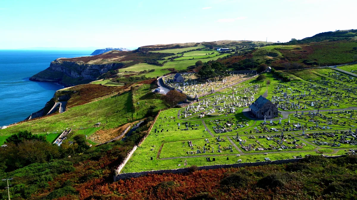
Church of St Tudno, Llandudno
Historic churches · 0.5 km

Long Hut
Archaeological sites · 0.5 km

Hwlfa'r Ceirw Settlement
Archaeological sites · 0.6 km
Maes-y-Facrell National Nature Reserve
Forests & woodlands · 0.6 km
_-_Great_Orme_cromlech_(portal_dolmen)_37.jpg?width=1200)
Llety'r Filiast
Follies · 0.6 km

Hwlfa'r Ceirw Stone Row
Stone circles · 0.7 km

Gogarth Bishops Palace
Palaces · 0.8 km
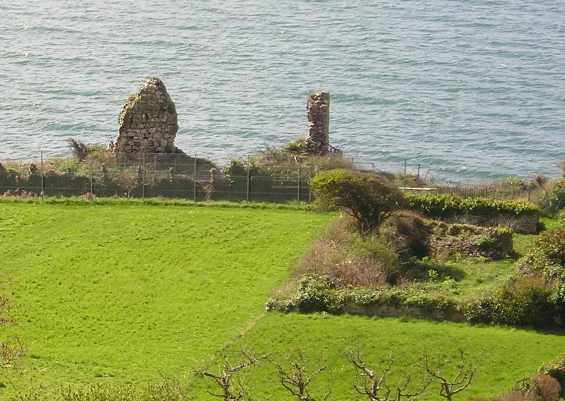
Gogarth Abbey
Palaces · 0.8 km

Ogof Tudno
Caves · 0.9 km
Nearby
📷 3Museums · North Wales
Great Orme Visitor Centre
Great Orme Visitor Centre — a museum in wales-north, United Kingdom.
📷 3Museums · North Wales
Great Orme Bronze Age Mines
Great Orme Bronze Age Mines — a museum in wales-north, United Kingdom.
📷 3Forests & woodlands · North Wales
Maes-y-fachtell
Maes-y-fachtell is a forest or woodland in the United Kingdom.
📷 3Historic churches · North Wales
Church of St Tudno, Llandudno
Church of St Tudno, Llandudno — a Grade II* church on the Great Orme, Wales.
📷 3Archaeological sites · North Wales
Long Hut
Long Hut — a archaeological in wales-north, United Kingdom.
📷 3Archaeological sites · North Wales
Hwlfa'r Ceirw Settlement
Hwlfa'r Ceirw Settlement — a archaeological in wales-north, United Kingdom.
Where to eat & stay near Great Orme
Places to stay
 📷 5
📷 5 📷 5
📷 5 📷 5
📷 5 📷 5📷 5
 📷 5
📷 5Places to eat & drink
 📷 5
📷 5 📷 5
📷 5 📷 5📷 5
 📷 5
📷 5Restaurants · North Wales
Casanova Italian Restaurant
Casanova Italian Restaurant — a restaurant in wales north.
 📷 5
📷 5More mountains in this region
 📷 5
📷 5Mountains & hills · North Wales
Cemlyn Bay and lagoon
Cemlyn Bay and lagoon — Site of Special Scientific Interest in Wales.
 📷 3
📷 3Mountains & hills · North Wales
Aberffraw Bay
Aberffraw Bay — bay on the west coast of Anglesey, in Wales, UK.
 📷 3
📷 3 📷 3
📷 3Mountains & hills · North Wales
Aran Benllyn
Aran Benllyn — Named summit at 884 m.
Frequently asked questions
- Where is Great Orme?
- Great Orme is in North Wales, United Kingdom (postcode LL30 2XG), in the parish of Llandudno.
- What is Great Orme?
- Great Orme — Named summit at 207.172 m.
- How do I get to Great Orme?
- The nearest railway station is West Shore Halt, about 2.0 km away. Drivers can use postcode LL30 2XG.
- Is Great Orme free to visit?
- Yes, Great Orme is free to enter.
- How do I get to Great Orme?
- The nearest railway station is West Shore Halt, about 2.0 km away. Drivers can navigate to postcode LL30 2XG.