
Mountains & hills · North West England
Great Lingy HIll
In or near Bassenthwaite.
Great Lingy HIll — mountain in scotland lowlands. Elevation: 616 m.

Adrian Taylor — CC BY-SA 2.0 via Wikimedia Commons licence

Plan your visit
- Typical visit
- 3 h–8 h
- Best time of year
- Late spring – early autumn (May–Oct)
- Nearest railway station
- Threlkeld Quarry Station · 9.6 km
- Dog-friendly
About
Great Lingy HIll is a mountain located in scotland lowlands. Elevation: 616 m. A named British peak recorded in OpenStreetMap. Peaks are typically named on Ordnance Survey 1:50k mapping.
Photo gallery
See it from the streetimagery from 2022
Imagery © Mapillary contributors, CC BY-SA 4.0
Protected designations
- Site of Special Scientific Interest: Skiddaw Group SSSI
Designations sourced from Natural England open data under OGL v3.
Place summary
Great Lingy Hill is a mountain located in the Scottish Lowlands. It features a notable elevation that provides panoramic views of the surrounding landscape. The area is characterised by its natural beauty and offers opportunities for walking and exploration. Visitors can expect a rugged terrain typical of the region, with a variety of wildlife and plant species.
AI-generated from the structured facts on this page (operator, designation, listing, era). Not a substitute for visiting.
- Coordinates
- 54.6961, -3.0720
- Nearest railway station
- Threlkeld Quarry Station — 9.6 km
Sources
- osm: n443623026 (ODbL)
Other places nearby

Miller Moss Top
Mountains & hills · 0.6 km

Hare Stones
Mountains & hills · 0.7 km

Drygill Head
Mountains & hills · 0.8 km

Little Lingy Hill
Mountains & hills · 1.0 km

Roughton Gill Lead Mine
Viewpoints · 1.1 km

Coomb Height
Mountains & hills · 1.3 km

Birk Hill
Mountains & hills · 1.3 km
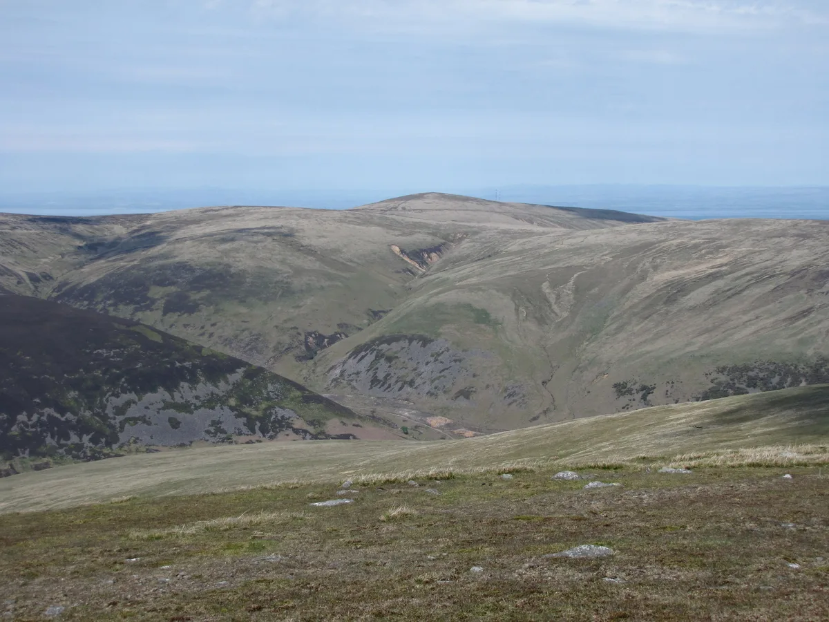
High Pike
Mountains & hills · 1.3 km

High Pike (Caldbeck)
Mountains & hills · 1.3 km

Yard Steel
Mountains & hills · 1.5 km

Carrock Wolframite Mine
Viewpoints · 1.6 km
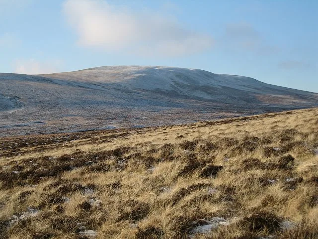
Knott
Mountains & hills · 1.7 km
Nearby
📷 5Mountains & hills · North West England
Miller Moss Top
Miller Moss Top — mountain in scotland lowlands. Elevation: 610.1 m.
📷 5Mountains & hills · North West England
Hare Stones
Hare Stones — mountain in scotland lowlands. Elevation: 627 m.
📷 5Mountains & hills · North West England
Drygill Head
Drygill Head — mountain in scotland lowlands. Elevation: 622 m.
📷 5Mountains & hills · North West England
Little Lingy Hill
Little Lingy Hill — mountain in scotland lowlands. Elevation: 600 m.
📷 3Viewpoints · North West England
Roughton Gill Lead Mine
Roughton Gill Lead Mine is a viewpoint in the United Kingdom.
📷 5Mountains & hills · North West England
Coomb Height
Coomb Height — mountain in scotland lowlands. Elevation: 627 m.
Where to eat & stay near Great Lingy HIll
Places to stay
 📷 5
 📷 5
Hostels · North West England
YHA Skiddaw Bunkhouse
YHA Skiddaw Bunkhouse — a hostel in scotland lowlands.
 📷 5
B&Bs · North West England
Denton House
Denton House — a bed-and-breakfast in scotland lowlands.
📷 5 📷 5
Hostels · North West England
Caldbeck Glamping Barns & Bothy
Caldbeck Glamping Barns & Bothy — a hostel in scotland lowlands.
 📷 5
Campsites · North West England
Caldbeck Camping
Caldbeck Camping — a campsite in scotland lowlands.
Places to eat & drink
 📷 4
Historic pubs · North West England
Oddfellows Arms
Oddfellows Arms — Historic pub — listed building or notable heritage status.
 📷 5
 📷 7
Historic pubs · North West England
The Pheasant Inn
The Pheasant Inn in Scotland Lowlands, United Kingdom.
 📷 5
Historic pubs · North West England
Kings Arms Walter Willsons
Kings Arms Walter Willsons in Scotland Lowlands, United Kingdom.
 📷 5
Historic pubs · North West England
Horse And Farrier Inn And Stables
Horse And Farrier Inn And Stables in Scotland Lowlands, United Kingdom.
 📷 5
More mountains in this region
 📷 5
Mountains & hills · North West England
Appleton Park
Appleton Park — a hill or mountain in england west midlands.
 📷 5
Mountains & hills · North West England
High Warren
High Warren — mountain in england west midlands. Elevation: 105 m.
 📷 5
Mountains & hills · North West England
Alderley Edge
Alderley Edge — mountain in england west midlands. Elevation: 194 m.
 📷 3
Frequently asked questions
- Where is Great Lingy HIll?
- Great Lingy HIll is in North-West England, United Kingdom.
- What is Great Lingy HIll?
- Great Lingy HIll — mountain in scotland lowlands. Elevation: 616 m.
- How do I get to Great Lingy HIll?
- The nearest railway station is Threlkeld Quarry Station, about 9.6 km away. The nearest town is Bassenthwaite. Its coordinates are 54.6961°, -3.0720°.
- Is Great Lingy HIll a protected site?
- Yes — Great Lingy HIll is part of the Skiddaw Group SSSI Site of Special Scientific Interest.