
Historic bridges · South West England
Great Bow Bridge
In or near Kingsbury Episcopi.
Great Bow Bridge — Grade II listed building-listed bridge in england-south-west, United Kingdom.

Ken Grainger — CC BY-SA 2.0 via Wikimedia Commons licence

Plan your visit
- Typical visit
- 15 min–30 min
- Nearest railway station
- Westonzoyland · 9.7 km
- Free entry
- Dog-friendly
Getting there & planning your visit
To visit Great Bow Bridge, the nearest railway station is Westonzoyland, located 9.7 km away. The postcode for sat-nav is TA10 9YA, and entry is free.
About
Great Bow Bridge is a Grade II listed building-listed bridge in england-south-west, United Kingdom, registered on the National Heritage List for England (NHLE entry 1277510). Listed status protects buildings and structures of special architectural or historic interest. See the linked Wikipedia article for further details.
Photo gallery
See it from the streetimagery from 2023
Imagery © Mapillary contributors, CC BY-SA 4.0
Heritage listing
The Great Budbridge Manor (original name in Domesday Book: Messetone or Marshton; also: Botebrigge, 13th century; Butbrygg or Northbudbrygge, 15th century) is a manor house just south of Merstone, near Arreton, Isle of Wight, England. Fish ponds on the grounds appear medieval. The manor's history has been traced to John de Lisle, Henry de Botebrigge and Walter Urry during the reign of Henry III (1207–72). Records testify its ownership by William Urry in 1280. Consequent to the conviction of Robert Urry, William's son, in 1312 for murdering the Constable of Carisbrooke Castle, part of his land was acquired. However, the manor remained in the name of the family till 1450.
From the Historic England List Entry under OGL v3.
Protected designations
- National Nature Reserve: SOMERSET WETLANDS
Designations sourced from Natural England open data under OGL v3.
From the Wikipedia article
The Great Budbridge Manor (original name in Domesday Book: Messetone or Marshton; also: Botebrigge, 13th century; Butbrygg or Northbudbrygge, 15th century) is a manor house just south of Merstone, near Arreton, Isle of Wight, England. Fish ponds on the grounds appear medieval. The manor's history has been traced to John de Lisle, Henry de Botebrigge and Walter Urry during the reign of Henry III (1207–72). Records testify its ownership by William Urry in 1280. Consequent to the conviction of Robert Urry, William's son, in 1312 for murdering the Constable of Carisbrooke Castle, part of his land was acquired. However, the manor remained in the name of the family till 1450. More than 200 years later, in 1633 the manor was bought by Sir Robert Dillington, 1st Baronet.
Excerpt from Wikipedia under CC BY-SA 4.0. See the source article linked in Sources below.
Background
History
The first mention of it under its present name occurs in the Testa de Nevill towards the end of the 13th century, when it was held in two moieties, half a fee under John de Lisle of Wootton by Henry de Botebrigge, and a fifth of a fee, formerly held by Walter Urry under Matilda de Estur of Gatcombe, by the Abbot of Quarr Abbey. In 1328, Henry de Botebrigge, and in 1331 Robert de Botebrigge, confirmed a grant made by their ancestors in frankalmoign to the Abbot and convent of Quarr of part of the meadow called Ryedemede in the east part of the road from Budbridge to 'la Rydeforde.' By the middle of the 14th century, Henry de Botebrigge had been succeeded by Henry Romyn. In 1358, William de…
Architecture
The manor has a small double-fronted façade with an arch door, indicative of a small manor house. It is built with bricks. The upper floor has mullioned windows. The house, a simple Jacobean structure with stone mullioned windows, is low but picturesque. A projecting porch, dated 1668 as an addition, was part of a renovation. Although now modernised, it retains much of its early character.
Sourced from Wikipedia under CC BY-SA 4.0.
- Coordinates
- 51.0361, -2.8348
- District
- Somerset
- Parish
- Langport
- Postcode
- TA10 9YA
- Parliamentary constituency
- Glastonbury and Somerton
- Nearest railway station
- Westonzoyland — 9.7 km
Sources
- wikidata: Q26529062 (CC0)
- wikipedia: Great Budbridge Manor (CC BY-SA 4.0)
Other places nearby

Warehouse, Langport
Canals · 0.1 km

Langport Arms Hotel
Hotels · 0.5 km

Langport
Museums · 0.5 km

Tudor House
Historic houses · 0.5 km

The Black Swan Inn
Historic pubs · 0.6 km
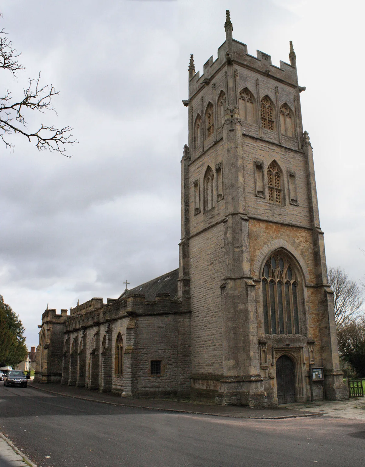
Church of All Saints, Langport
Historic churches · 0.7 km

The Hanging Chapel
Chapels · 0.8 km

River Yeo (South Somerset)
Museums · 0.9 km
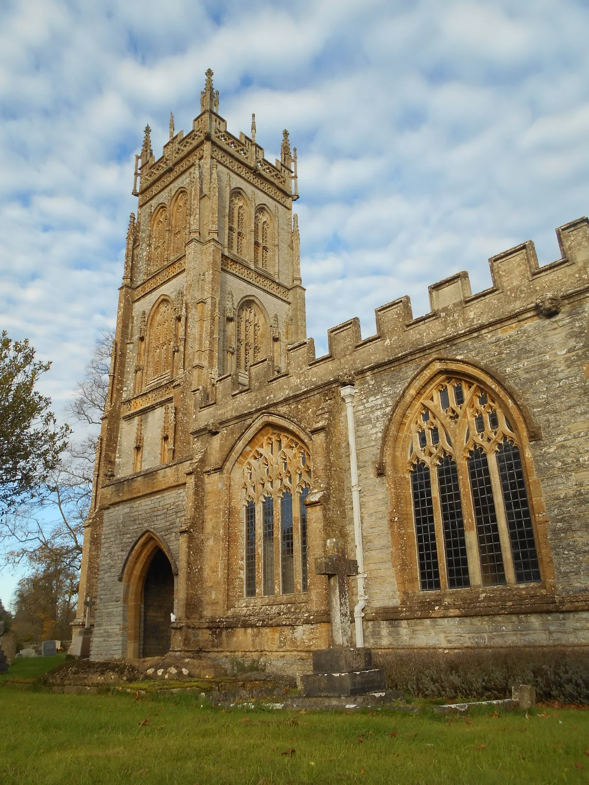
Church of the Blessed Virgin Mary, Huish Episcopi
Historic churches · 1.1 km

Barn west of Muchelney Abbey
Abbeys & priories · 2.1 km
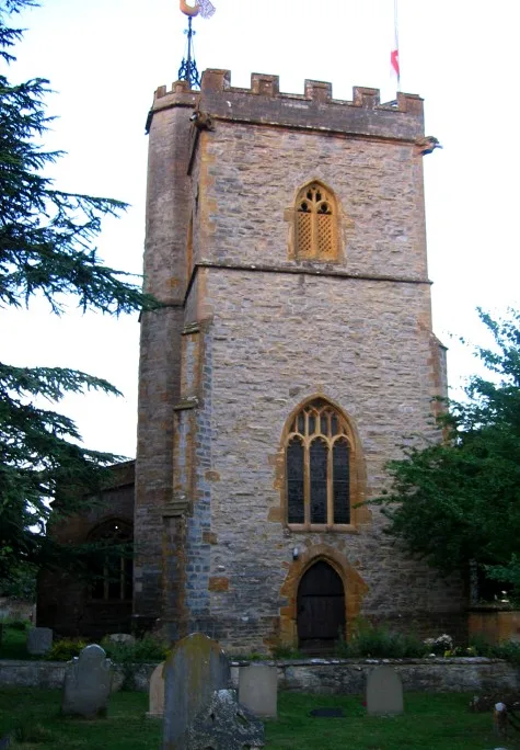
Church of St Catherine, Drayton
Historic churches · 2.1 km

Unidentified Monument Directly Adjacent To South Of Tower Of Church Of St Catherine, In The Churchyard
Memorials & monuments · 2.2 km
Nearby
📷 4Canals · South West England
Warehouse, Langport
The Warehouse in Great Bow Yard Langport, Somerset, England is an example of Victorian industrial architecture. The Warehouse was built in the late 18th century of English bond red brick, with Flemish
📷 5Hotels · South West England
Langport Arms Hotel
Langport Arms Hotel — a hotel in england south west.
📷 5Museums · South West England
Langport
Langport is a town and civil parish in Somerset, England, 5 miles (8 km) west of Somerton. The parish, which covers only part of the town, has a population of 3,578. Langport is contiguous with Huish
📷 3Historic houses · South West England
Tudor House
Tudor House — 18th century house in Langport, Somerset, England, UK.
📷 7Historic pubs · South West England
The Black Swan Inn
The Black Swan Inn in England South West, United Kingdom.
📷 5Historic churches · South West England
Church of All Saints, Langport
Church of All Saints, Langport — church in Langport, Somerset, England, UK.
Where to eat & stay near Great Bow Bridge
Places to stay
📷 5Hotels · South West England
Langport Arms Hotel
Langport Arms Hotel — a hotel in england south west.
 📷 2
📷 2Caravan parks · South West England
Bodens Crest Caravan Site
Bodens Crest Caravan Site — a caravan park in england south west.
 📷 5
📷 5Campsites · South West England
Thorney Lakes Caravan & Camping Park
Thorney Lakes Caravan & Camping Park — a campsite in england south west.
 📷 5
📷 5Caravan parks · South West England
Thornhills Farm
Thornhills Farm — a caravan park in england south west.
 📷 5
📷 5Hotels · South West England
The Unicorn
The Unicorn — a hotel in england south west.
 📷 5
📷 5Caravan parks · South West England
Broadfield Park
Broadfield Park — a caravan park in england south west.
Places to eat & drink
📷 7Historic pubs · South West England
The Black Swan Inn
The Black Swan Inn in England South West, United Kingdom.
 📷 5
📷 5Historic pubs · South West England
The Old Pound Inn
The Old Pound Inn in England South West, United Kingdom.
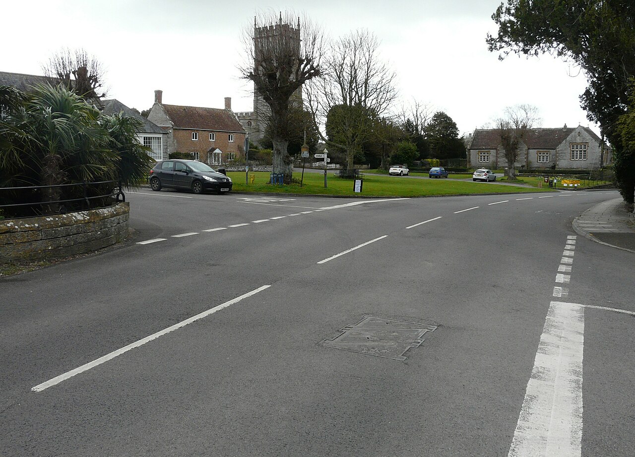 📷 7
📷 7Historic pubs · South West England
The Devonshire Arms Hotel
The Devonshire Arms Hotel in England South West, United Kingdom.
 📷 7
📷 7Historic pubs · South West England
King Alfred Public House
King Alfred Public House in England South West, United Kingdom.
 📷 5
📷 5Restaurants · South West England
28 Market Place
28 Market Place — a restaurant in england south west.
 📷 5
📷 5More bridges in this region
 📷 5
📷 5Historic bridges · South West England
Avoncliff Aqueduct
Avoncliff Aqueduct is a historic bridge in the United Kingdom.
📷 5Historic bridges · South West England
Avoncliff Aqueduct
Avoncliff Aqueduct is a historic bridge in the United Kingdom.
 📷 5
📷 5Historic bridges · South West England
Bradford Viaduct
Bradford Viaduct is a historic bridge in the United Kingdom.
 📷 5
📷 5Historic bridges · South West England
Chippenham Viaduct
Chippenham Viaduct is a historic bridge in the United Kingdom.
Frequently asked questions
- Where is Great Bow Bridge?
- Great Bow Bridge is in South-West England, United Kingdom (postcode TA10 9YA), in the parish of Langport.
- What is Great Bow Bridge?
- Great Bow Bridge — Grade II listed building-listed bridge in england-south-west, United Kingdom.
- How do I get to Great Bow Bridge?
- The nearest railway station is Westonzoyland, about 9.7 km away. Drivers can use postcode TA10 9YA.
- Is Great Bow Bridge a listed building?
- Great Bow Bridge is officially recognised as Grade II listed building listed.
- Is Great Bow Bridge a protected site?
- Yes — Great Bow Bridge is part of the SOMERSET WETLANDS National Nature Reserve.
- Is Great Bow Bridge free to visit?
- Yes, Great Bow Bridge is free to enter.
- How do I get to Great Bow Bridge?
- Drivers can navigate to postcode TA10 9YA. It sits within the Glastonbury and Somerton parliamentary constituency.