
Natural landmarks · Scottish Highlands
Glen Tilt
Also known as: Gleann Teilt
In or near Killiecrankie.
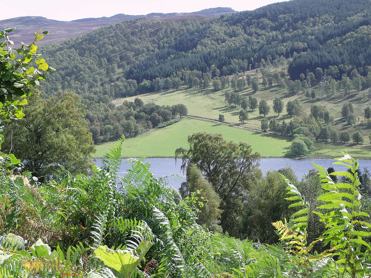
Glen Tilt in Scotland Islands, United Kingdom.

Russel Wills — CC BY-SA 2.0 via Wikimedia Commons licence

Plan your visit
- Typical visit
- 1 h–2 h
- Nearest railway station
- Blair Atholl · 8.8 km
- Free entry
- Dog-friendly
Getting there & planning your visit
To visit Glen Tilt in the Scottish Highlands, the nearest railway station is Blair Atholl, which is 8.8 km away. Entry is free.
About
Glen Tilt is a place of interest in Scotland Islands, United Kingdom — drawn from open-data sources for visitor reference. See the linked Wikipedia article for the full description.
Photo gallery
From the Wikipedia article
Glen Tilt (Scottish Gaelic: Gleann Teilt) is a glen in the extreme north of Perth and Kinross, Scotland. Beginning at the confines of Aberdeenshire, it follows a South-westerly direction excepting for the last 4 miles, when it runs due south to Blair Atholl. It is watered throughout by the Tilt, which enters the Garry after a course of 14 miles, and receives on its right the Tarf, which forms some falls just above the confluence, and on the left the Fender, which has some falls also. The attempt of George Murray, 6th Duke of Atholl to close the glen to the public was successfully contested by the Scottish Rights of Way Society in 1847. The massive mountain of Beinn a' Ghlò and its three Munros Càrn nan Gabhar (1129 m), Bràigh Coire Chruinn-bhalgain (1070 m) and Càrn Liath (975) dominate the glen's eastern lower half. Perthshire is the historic county that Glen Tilt was within, Perth was the county town. Marble of good quality is occasionally quarried in the glen, and the rock formation has long attracted the attention of geologists.
Excerpt from Wikipedia under CC BY-SA 4.0. See the source article linked in Sources below.
Background
History
James Hutton, the pioneer geologist, visited the glen in 1785 and found boulders with granite penetrating metamorphic schists in a way which indicated that the granite had been molten at the time. This showed to him that granite formed from cooling of molten rock, contradicting the ideas of Neptunism of that time that theorised that rocks were formed by precipitation out of water. Hutton concluded that the granite must be younger than the schists. This was one of the findings that led him to develop his theory of Plutonism and the concept of an immensely long geologic time scale with "no vestige of a beginning, no prospect of an end." Sir John Clerk of Eldin visited the site and produced…
Sourced from Wikipedia under CC BY-SA 4.0.
- Coordinates
- 56.8330, -3.7760
- Address
- Perth and Kinross, Scotland
- Nearest railway station
- Blair Atholl — 8.8 km
Sources
Other places nearby

Caisteal Dubh, dun
Archaeological sites · 1.8 km

Gow's Bridge
Historic bridges · 1.8 km

Meall Duibhinidh
Mountains & hills · 2.2 km

Druim a' Chait
Mountains & hills · 2.6 km

Carn Torcaidh
Mountains & hills · 2.6 km

Beinn a' Ghlo - Braigh Coire Chruinn-bhalgain
Mountains & hills · 2.8 km
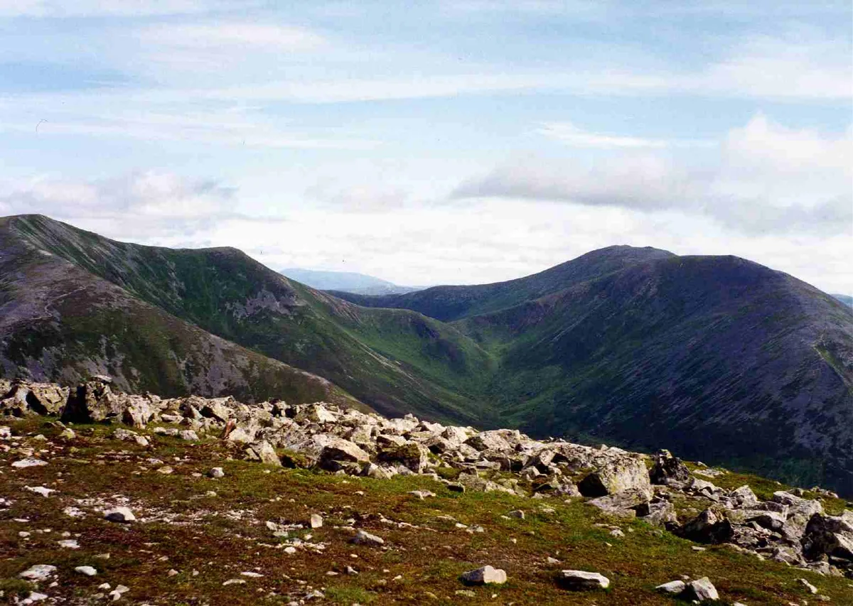
Braigh Coire Chruinn-bhalgain
Mountains & hills · 2.8 km

Dail-an-eas Bridge
Historic bridges · 2.9 km
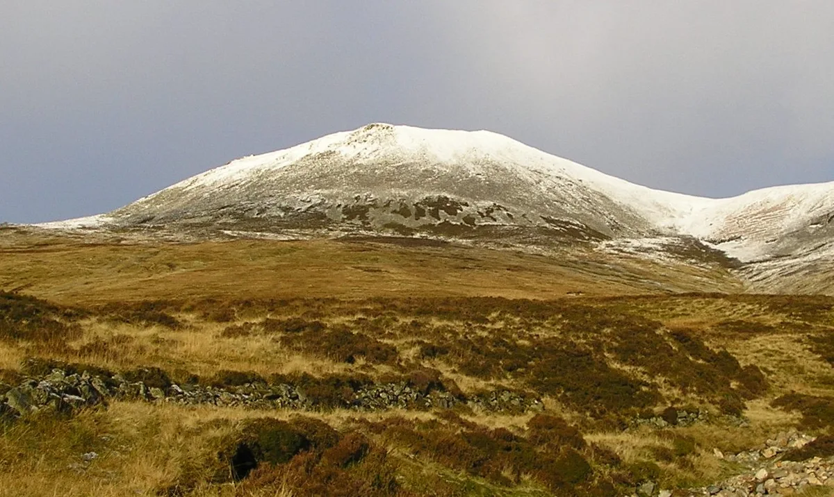
Carn a' Chlamain
Natural landmarks · 3.1 km
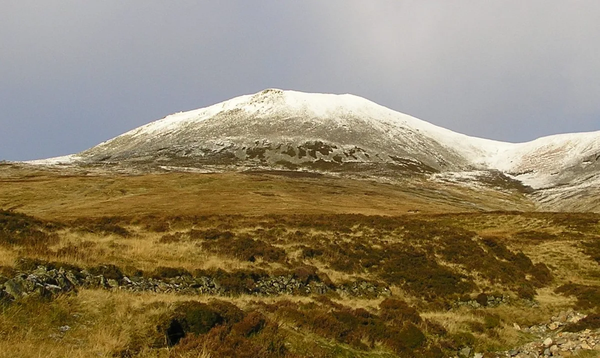
Càrn a' Chlamain
Mountains & hills · 3.1 km
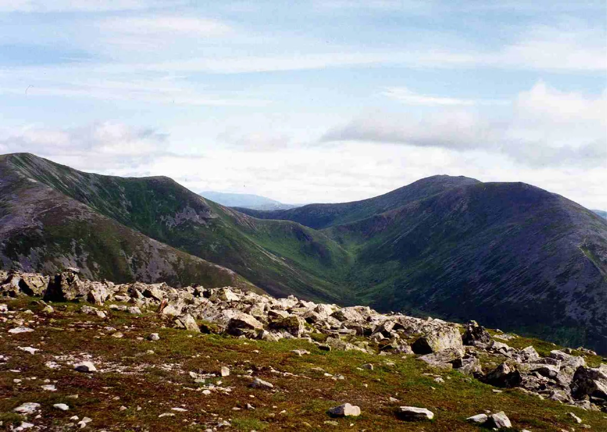
Carn Liath
Mountains & hills · 3.4 km

Beinn a' Ghlo - Carn Liath
Mountains & hills · 3.4 km
Nearby
📷 3Archaeological sites · Scottish Highlands
Caisteal Dubh, dun
Caisteal Dubh, dun — a archaeological in scotland-highlands, United Kingdom.
📷 5Historic bridges · Scottish Highlands
Gow's Bridge
Gow's Bridge — category B listed building-listed bridge in scotland-highlands, United Kingdom.
📷 5Mountains & hills · Scottish Highlands
Meall Duibhinidh
Meall Duibhinidh — a hill or mountain in scotland highlands.
📷 5Mountains & hills · Scottish Highlands
Druim a' Chait
Druim a' Chait — a hill or mountain in scotland highlands.
📷 5Mountains & hills · Scottish Highlands
Carn Torcaidh
Carn Torcaidh — mountain in scotland highlands. Elevation: 806 m.
📷 5Mountains & hills · Scottish Highlands
Beinn a' Ghlo - Braigh Coire Chruinn-bhalgain
Beinn a' Ghlo - Braigh Coire Chruinn-bhalgain — a hill or mountain in scotland highlands.
Where to eat & stay near Glen Tilt
Places to stay
 📷 5
📷 5Campsites · Scottish Highlands
Blair Castle Caravan Park
Blair Castle Caravan Park — a campsite in scotland highlands.
 📷 5
📷 5Caravan parks · Scottish Highlands
River Tilt Park
River Tilt Park — a caravan park in scotland highlands.
 📷 5
📷 5Caravan parks · Scottish Highlands
Faskally Caravan Park
Faskally Caravan Park — a caravan park in scotland highlands.
 📷 5
📷 5Hotels · Scottish Highlands
The Green Park Hotel
The Green Park Hotel — a hotel in scotland highlands.
 📷 5
📷 5Campsites · Scottish Highlands
Ardgualich Farm & Loch Tummel Camp Site
Ardgualich Farm & Loch Tummel Camp Site — a campsite in scotland highlands.
 📷 5
📷 5Hostels · Scottish Highlands
Pitlochry Youth Hostel
Pitlochry Youth Hostel — a hostel in scotland highlands.
Places to eat & drink
 📷 5
📷 5Historic pubs · Scottish Highlands
Dundarach Hotel, Perth Road
Dundarach Hotel, Perth Road in Scotland Highlands, United Kingdom.
 📷 5
📷 5Historic pubs · Scottish Highlands
Balnaguard Inn
Balnaguard Inn in Scotland Highlands, United Kingdom.
 📷 5
📷 5More natural landmarks in this region
 Flagship📷 3
Natural landmarks · Scottish Highlands
Dunalastair Water
Dunalastair Water — lake in Perth and Kinross, Scotland, UK, on the River Tummel.
 Flagship📷 3
Natural landmarks · Scottish Highlands
Loch Arkaig
Loch Arkaig — lake in Highland, Scotland, UK, outflows east to River Arkaig.
 Flagship📷 3
Natural landmarks · Scottish Highlands
Loch Assynt
Loch Assynt — lake in Highland, Scotland, UK, outflows to the River Inver and Loch na Garbh Uidhe.
 Flagship📷 5
Natural landmarks · Scottish Highlands
Loch Eilt
Loch Eilt — lake in Highland, Scotland, UK, outflows west to River Ailort.
Frequently asked questions
- Where is Glen Tilt?
- Glen Tilt is in the Scottish Highlands, United Kingdom.
- What is Glen Tilt?
- Glen Tilt in Scotland Islands, United Kingdom.
- How do I get to Glen Tilt?
- The nearest railway station is Blair Atholl, about 8.8 km away. Its coordinates are 56.8330°, -3.7760°.
- Is Glen Tilt free to visit?
- Yes, Glen Tilt is free to enter.