
Viewpoints · North West England
Giant's Chair
In or near Silverdale.
Giant's Chair is a viewpoint in the United Kingdom.

Karl and Ali — CC BY-SA 2.0 via Wikimedia Commons licence

Plan your visit
- Typical visit
- 20 min–45 min
- Best time of year
- Clear days year-round
- Nearest railway station
- Silverdale · 2.2 km
- Free entry
- Dog-friendly
Getting there & planning your visit
To visit Giant's Chair, the nearest railway station is Silverdale, located 2.2 km away. The postcode for navigation is LA5 0UA, and entry to the viewpoint is free.
About
Giant's Chair is a named viewpoint in Lancashire, North-West England, marked on Ordnance Survey maps for its outlook. The site is within the Arnside & Silverdale National Landscape (AONB), and is a designated Site of Special Scientific Interest. It sits within the Morecambe and Lunesdale parliamentary constituency. The nearest railway station is Silverdale, about 2.2 km away. Postcode area LA5.
Photo gallery
Protected designations
- Site of Special Scientific Interest: Jack Scout SSSI
- Site of Special Scientific Interest: Morecambe Bay SSSI
- Area of Outstanding Natural Beauty: Arnside & Silverdale
- Ramsar wetland: Morecambe Bay
Designations sourced from Natural England open data under OGL v3.
From the Wikipedia article
A Giant's Church (Finnish: Jätinkirkko, jatulinkirkko) is the name given to prehistoric stone enclosures found along the coast of Ostrobothnia region of Finland in an area that roughly stretches from Kokkola to Kemi, with the densest concentration around Raahe and Oulu. Dating from the subneolithic period (3500–2000 BC), they are an example of monumental architecture built by hunter-gatherers in Northern Europe.
Excerpt from Wikipedia under CC BY-SA 4.0. See the source article linked in Sources below.
Background
Description
The stone enclosures are rectangular or oval boulder embankments. Around forty sites are known, located in a 400 km strip on the northwest coast of Finland (Ostrobothnia). One of the largest known sites is Kastelli Giant's Church, which encloses an area of 60 by. The Giants' Churches have been dated to the "subneolithic" (ie. Mesolithic people who are beginning to use Neolithic artefacts) around 3500–2000 BC. By 1500 BC they were abandoned.
Sourced from Wikipedia under CC BY-SA 4.0.
- Coordinates
- 54.1561, -2.8298
- County
- Lancashire
- District
- Lancaster
- Parish
- Silverdale
- Postcode
- LA5 0UA
- Parliamentary constituency
- Morecambe and Lunesdale
- Nearest railway station
- Silverdale — 2.2 km
Sources
- osm: n1637827200 (ODbL)
- wikipedia: Giant's Church (CC BY-SA 4.0)
Other places nearby

Jack Scout Limekiln
Historic houses · 0.3 km

Gibraltar Farm
Caravan parks · 0.5 km

Gibraltar Farm
Campsites · 0.5 km

Lime Kiln Lindeth Lodge Farm
Historic houses · 0.7 km

Heald Brow
Mountains & hills · 1.0 km
Heald Brow
Mountains & hills · 1.0 km

Silverdale
Towns & cities · 1.2 km

Silverdale
Villages · 1.4 km
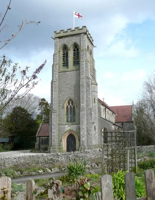
St John's Church, Silverdale
Abbeys & priories · 1.8 km

St John's Church, Silverdale
Cathedrals · 1.8 km

SilverHelme Scout Camp
Campsites · 2.0 km
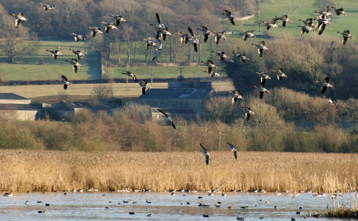
Leighton Moss RSPB reserve
Wildlife reserves · 2.0 km
Nearby
📷 3Historic houses · North West England
Jack Scout Limekiln
Jack Scout Limekiln — a historic house in North West England, United Kingdom.
📷 5Caravan parks · North West England
Gibraltar Farm
Gibraltar Farm — a caravan park in england north west.
📷 5Campsites · North West England
Gibraltar Farm
Gibraltar Farm — a campsite in england north west.
📷 3Historic houses · North West England
Lime Kiln Lindeth Lodge Farm
Lime Kiln Lindeth Lodge Farm — a historic house in North West England, United Kingdom.
📷 5Mountains & hills · North West England
Heald Brow
Heald Brow — a hill or mountain in england north west.
📷 5Mountains & hills · North West England
Heald Brow
Heald Brow — mountain in england north west. Elevation: 74 m.
Where to eat & stay near Giant's Chair
Places to stay
📷 5Caravan parks · North West England
Gibraltar Farm
Gibraltar Farm — a caravan park in england north west.
📷 5Campsites · North West England
Gibraltar Farm
Gibraltar Farm — a campsite in england north west.
📷 5Campsites · North West England
SilverHelme Scout Camp
SilverHelme Scout Camp — a campsite in england north west.
 📷 5
📷 5Caravan parks · North West England
Holgates Holiday Park: Silverdale
Holgates Holiday Park: Silverdale — a caravan park in england north west.
 📷 5
📷 5Campsites · North West England
Scar Close
Scar Close — a campsite in england north west.
 📷 5
📷 5Caravan parks · North West England
Old Waterslack Farm
Old Waterslack Farm — a caravan park in england north west.
Places to eat & drink
 📷 7
📷 7 📷 3
📷 3Historic pubs · North West England
The Eagles Head
The Eagles Head — Historic pub — listed building or notable heritage status.
 📷 5
📷 5Restaurants · North West England
L'Enclume
L'Enclume — a restaurant in england north west.
 📷 4
📷 4Restaurants · North West England
L'Enclume
L'Enclume (pronounced [lɑ̃.klym], French for "the anvil") is a Modern British restaurant opened in 2002 in Cartmel, Cumbria, England, run by the chef Simon Rogan and his partner, Penny Tapsell. L'Encl
 📷 3
📷 3Historic pubs · North West England
Wagon & Horses
Wagon & Horses — Historic pub — listed building or notable heritage status.
 📷 3
📷 3Historic pubs · North West England
George & Dragon
George & Dragon — Historic pub — listed building or notable heritage status.
More viewpoints in this region
 📷 3
📷 3 📷 4
📷 4 📷 3
📷 3Viewpoints · North West England
Southside MAN Viewing area
Southside MAN Viewing area is a viewpoint in the United Kingdom.
 📷 3
📷 3Frequently asked questions
- Where is Giant's Chair?
- Giant's Chair is in Lancashire, North-West England, United Kingdom (postcode LA5 0UA), in the parish of Silverdale.
- What is Giant's Chair?
- Giant's Chair is a viewpoint in the United Kingdom.
- How do I get to Giant's Chair?
- The nearest railway station is Silverdale, about 2.2 km away. The nearest town is Silverdale. Drivers can use postcode LA5 0UA.
- Is Giant's Chair a protected site?
- Yes — Giant's Chair is part of the Jack Scout SSSI Site of Special Scientific Interest and the Morecambe Bay SSSI Site of Special Scientific Interest.
- Is Giant's Chair free to visit?
- Yes, Giant's Chair is free to enter.
- How do I get to Giant's Chair?
- The nearest railway station is Silverdale, about 2.2 km away. Drivers can navigate to postcode LA5 0UA.