
Islands · Scottish Islands
Fuday
In or near Borve.
Fuday — island in the Outer Hebrides, Scotland, UK.

Wikimedia Commons contributors — see linked file page for photographer and licence licence

Plan your visit
- Typical visit
- 4 h–12 h
- Free entry
- Dog-friendly
About
Fuday is a island in the United Kingdom. Part of Outer Hebrides. Wikidata describes it as: "island in the Outer Hebrides, Scotland, UK". Coordinates: 57.0500°, -7.3833°.
Photo gallery
From the Wikipedia article
Fuday (Scottish Gaelic: Fùideigh) is an uninhabited island of about 232 hectares (570 acres) and is one of ten islands in the Sound of Barra, a Site of Community Importance for conservation in the Outer Hebrides of Scotland. It lies just east of Scurrival Point on Barra and west of Eriskay. Fuday is owned by the Scottish Government. Deserted since 1901, its peak population is recorded only as seven. It is still used for the summer grazing of cattle, and they used to be swum across the 1-mile-wide (2-kilometre), but shallow, Caolas Fuideach (strait) to there from Eoligarry. When cattle were first introduced to the island, they were killed by dehydration. The crofters who left the cattle on the island failed to show the animals the location of the only drinkable source of water on the island, a loch far inland on the island. The cattle thus could not find drinking water and died of thirst.
Excerpt from Wikipedia under CC BY-SA 4.0. See the source article linked in Sources below.
- Coordinates
- 57.0500, -7.3833
Sources
- wikidata: Q3090537 (CC0)
- wikipedia: Fuday (CC BY-SA 4.0)
- commons: Isle of Fuday-Fuideigh - geograph.org.uk - 1362071.jpg (CC BY-SA 4.0)
Other places nearby

Mullach Neacail
Mountains & hills · 0.2 km

Tràigh na Rèill
Beaches · 0.9 km

Tràigh Bhàn
Beaches · 1.1 km

Dunan Ruadh, broch site
Archaeological sites · 1.2 km

Eoligarry Harbour
Harbours & ports · 2.4 km

Tràigh Cille Bharra
Beaches · 2.7 km

Tràigh Sgùrabhal
Beaches · 2.9 km
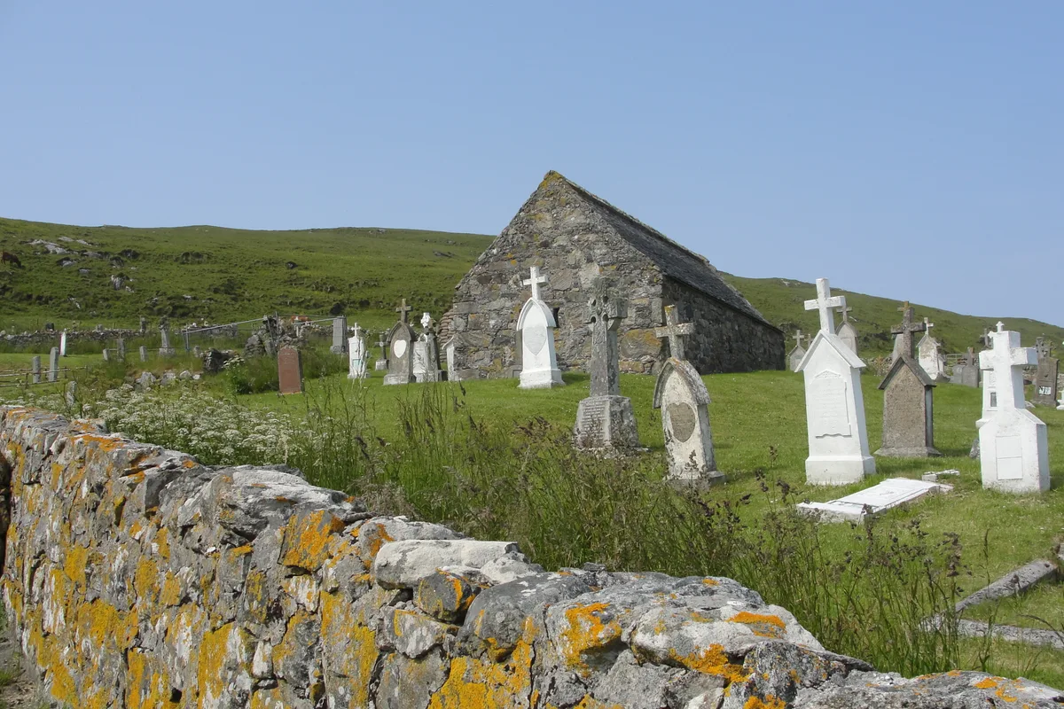
Cille Bharra
Historic churches · 3.3 km

Orosay
Islands · 3.3 km

Barra Sands
Campsites · 3.3 km

Beinn Bheag Eòlaigearraidh
Mountains & hills · 3.3 km

Lingay
Islands · 3.4 km
Nearby
📷 5Mountains & hills · Scottish Islands
Mullach Neacail
Mullach Neacail — mountain in scotland highlands. Elevation: 89 m.
📷 2📷 2📷 3Archaeological sites · Scottish Islands
Dunan Ruadh, broch site
Dunan Ruadh, broch site — a archaeological in scotland-highlands, United Kingdom.
📷 3Harbours & ports · Scottish Islands
Eoligarry Harbour
Eoligarry Harbour — harbour at Eoligarry on the Kilbar Peninsula, Barra, Outer Hebrides, Scotland, UK.
📷 3Beaches · Scottish Islands
Tràigh Cille Bharra
Tràigh Cille Bharra is a beach in the United Kingdom.
Where to eat & stay near Fuday
Places to stay
📷 5Campsites · Scottish Islands
Barra Sands
Barra Sands — a campsite in scotland highlands.
 📷 5
📷 5Campsites · Scottish Islands
Sgùrabhal Campsite
Sgùrabhal Campsite — a campsite in scotland highlands.
 📷 5
📷 5Hotels · Scottish Islands
Polochar Inn
Polochar Inn — a hotel in scotland highlands.
 📷 5
📷 5Campsites · Scottish Islands
Kilbride Campsite
Kilbride Campsite — a campsite in scotland highlands.
 📷 5
📷 5Campsites · Scottish Islands
Croft 183
Croft 183 — a campsite in scotland highlands.
 📷 5
📷 5Caravan parks · Scottish Islands
(3 pitches - booking advisable)
(3 pitches - booking advisable) — a caravan park in scotland highlands.
More places in this region
 📷 5
📷 5Islands · Scottish Islands
Bac Beag
Bac Beag — Scottish island, part of the Treshnish Isles in the Inner Hebrides.
 📷 5
📷 5Islands · Scottish Islands
Bac Mòr
Bac Mòr — island in Argyll and Bute, Scotland, UK, one of the Treshnish Isles.
 Flagship📷 3
Islands · Scottish Islands
Baleshare
Baleshare — flat tidal island in the Outer Hebrides, Scotland, UK.
 Flagship📷 5
Islands · Scottish Islands
Barra
Barra — island in Outer Hebrides, Scotland, UK.
Frequently asked questions
- Where is Fuday?
- Fuday is in the Scottish Highlands, United Kingdom.
- What is Fuday?
- Fuday — island in the Outer Hebrides, Scotland, UK.
- How do I get to Fuday?
- Its coordinates are 57.0500°, -7.3833°.
- Is Fuday free to visit?
- Yes, Fuday is free to enter.