
National parks · North East England
Fremington Edge
In or near Reeth.
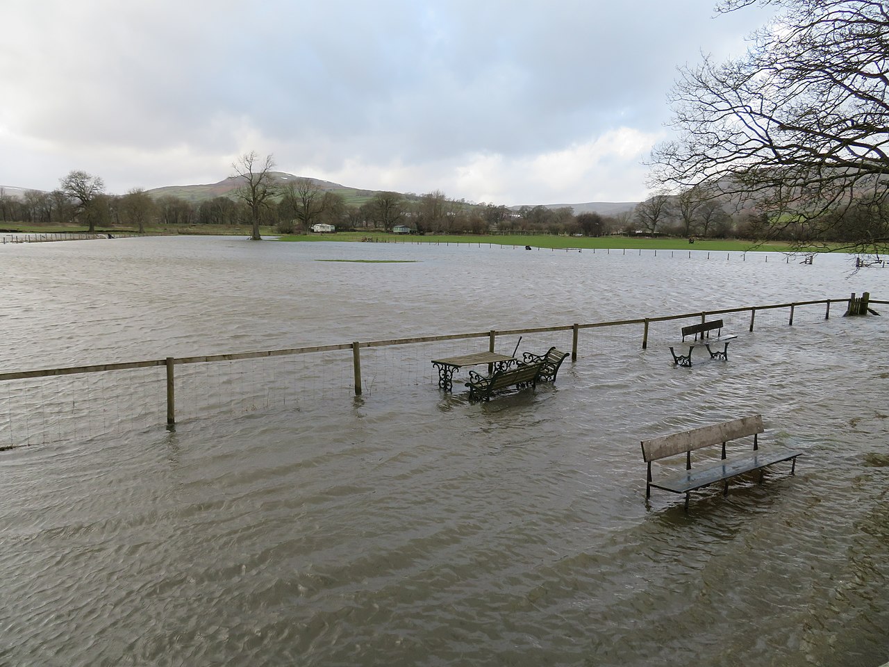
Fremington Edge in England North East, United Kingdom.

steven ruffles — CC BY-SA 2.0 via Wikimedia Commons licence

Plan your visit
- Typical visit
- 4 h–8 h
- Best time of year
- Spring – autumn (Apr–Oct)
- Nearest railway station
- Redmire · 9.7 km
- Free entry
- Family-friendly
- Dog-friendly
Getting there & planning your visit
To visit Fremington Edge, the nearest railway station is Redmire, located 9.7 km away. The postcode for sat-nav is DL11 6UT, and entry is free.
About
Fremington Edge is a place of interest in England North East, United Kingdom — drawn from open-data sources for visitor reference. See the linked Wikipedia article for the full description.
Photo gallery
From the Wikipedia article
Fremington Edge is a 3-mile (5 km) long wall of crags and scree slopes that is situated to the north of the village of Reeth in Swaledale in the Yorkshire Dales National Park, England. Fremington Edge forms the south-eastern edge of Arkengarthdale, extending to the point where the dale meets Swaledale. Throughout its full length the Edge stays above the height of 1,300 feet (400 m) and reaches a highest point of 1,552 feet (473 m) at the northern end of the escarpment.
Excerpt from Wikipedia under CC BY-SA 4.0. See the source article linked in Sources below.
Background
History
Fremington Edge was formed after the last Ice age when melt water from the retreating glaciers caused a landslip and exposed the rocky outcrops. Evidence of an Iron Age fort on the escarpment, and a settlement pre-date the 8th century arrival of the Anglo-Saxons. The Edge is scattered with remains of old lead and chert mines, and there are many disused shafts and spoil heaps. The chert was taken by lorry to Staffordshire for use in producing china and porcelain. A footpath and a solid dry stone wall stretch the entire length of the Edge with the heather clad Marrick Moor extending away to the east. Midway along are the remains of a disused radio mast The Edge can be climbed either from…
Sourced from Wikipedia under CC BY-SA 4.0.
- Coordinates
- 54.4057, -1.9457
- District
- North Yorkshire
- Parish
- Reeth, Fremington and Healaugh
- Postcode
- DL11 6UT
- Parliamentary constituency
- Richmond and Northallerton
- Nearest railway station
- Redmire — 9.7 km
Sources
- wikidata: Q5501520 (CC0)
- wikipedia: Fremington Edge (CC BY-SA 4.0)
Other places nearby

Fremington Edge
Mountains & hills · 0.8 km

David Johnson
Memorials & monuments · 1.0 km

Hurst
Natural landmarks · 1.5 km

The Nutmeg Gallery
Galleries · 1.7 km

The Burgoyne Hotel
Hotels · 1.8 km

The Kings Arms
Hotels · 1.9 km

Swaledale Museum
Museums · 1.9 km

Jabz Cave
Caves · 2.0 km

Reeth
Towns & cities · 2.0 km

Reeth Bridge
Historic bridges · 2.0 km

Orchard Caravan And Camping Park
Campsites · 2.3 km

Draycott Hall
Historic houses · 2.4 km
Nearby
📷 5Mountains & hills · Yorkshire & the Humber
Fremington Edge
Fremington Edge — mountain in england yorkshire. Elevation: 475 m.
📷 3Memorials & monuments · Yorkshire & the Humber
David Johnson
David Johnson — a memorial in england-yorkshire, United Kingdom.
📷 3📷 3Galleries · Yorkshire & the Humber
The Nutmeg Gallery
The Nutmeg Gallery — a gallery in england-yorkshire, United Kingdom.
📷 5📷 5Hotels · Yorkshire & the Humber
The Kings Arms
The Kings Arms — a hotel in england yorkshire.
Where to eat & stay near Fremington Edge
Places to stay
📷 5📷 5Hotels · Yorkshire & the Humber
The Kings Arms
The Kings Arms — a hotel in england yorkshire.
📷 5Campsites · Yorkshire & the Humber
Orchard Caravan And Camping Park
Orchard Caravan And Camping Park — a campsite in england yorkshire.
 📷 5
📷 5 📷 5
📷 5Campsites · Yorkshire & the Humber
Scabba Wath Campsite
Scabba Wath Campsite — a campsite in england yorkshire.
 📷 5
📷 5Places to eat & drink
 📷 5
📷 5 📷 5
📷 5Historic pubs · Yorkshire & the Humber
Kings Head Inn
Kings Head Inn in England North West, United Kingdom.
 📷 5
📷 5Historic pubs · North East England
Milbank Arms
Milbank Arms in England North East, United Kingdom.
 📷 7
📷 7Historic pubs · Yorkshire & the Humber
Fox And Hounds Inn
Fox And Hounds Inn in England Yorkshire, United Kingdom.
 📷 7
📷 7Cafés · Yorkshire & the Humber
Kim's Cafe & Bistro
Kim's Cafe & Bistro — a café in england yorkshire.
 📷 5
📷 5Restaurants · Yorkshire & the Humber
The Sandpiper Inn
The Sandpiper Inn — a restaurant in england yorkshire.
More national parks in this region
 📷 4
📷 4 📷 4
📷 4National parks · North East England
Mallerstang
Mallerstang in England North East, United Kingdom.
 📷 4
📷 4National parks · North East England
Kisdon Force
Kisdon Force in England North East, United Kingdom.
 📷 4
📷 4Frequently asked questions
- Where is Fremington Edge?
- Fremington Edge is in North-East England, United Kingdom (postcode DL11 6UT), in the parish of Reeth, Fremington and Healaugh.
- What is Fremington Edge?
- Fremington Edge in England North East, United Kingdom.
- How do I get to Fremington Edge?
- The nearest railway station is Redmire, about 9.7 km away. Drivers can use postcode DL11 6UT.
- Is Fremington Edge free to visit?
- Yes, Fremington Edge is free to enter.
- How do I get to Fremington Edge?
- Drivers can navigate to postcode DL11 6UT. It sits within the Richmond and Northallerton parliamentary constituency.