
Forests & woodlands · London
Frays Farm Meadows
In or near Denham.
Frays Farm Meadows is a forest or woodland in the United Kingdom.

Wikimedia Commons contributors — see linked file page for photographer and licence licence

Plan your visit
- Typical visit
- 1 h–3 h
- Nearest railway station
- Uxbridge · 1.9 km
- Free entry
- Family-friendly
- Dog-friendly
Getting there & planning your visit
Frays Farm Meadows is located in Hillingdon, London, with the postcode UB10 8DZ. The nearest railway station is Uxbridge, which is 1.9 km away. Entry to the meadows is free.
About
Frays Farm Meadows is a named forest, woodland or nature reserve in the United Kingdom. Coordinates: 51.5636°, -0.4771°. This entry is part of The Great Britain Guide, a free, ad-free, open-data tourist directory.
Photo gallery
Official information
Frays Farm Meadows is a nature reserve featuring rare wet grazing meadows and is part of a Site of Special Scientific Interest (SSSI) near Uxbridge. Visitors can explore the diverse habitats that support various wildlife, including birds and invertebrates, along walking trails connected to nearby parks.
Protected designations
- Site of Special Scientific Interest: Fray's Farm Meadows SSSI
- Area of Outstanding Natural Beauty: Chilterns
Designations sourced from Natural England open data under OGL v3.
From the Wikipedia article
Frays Farm Meadows is a 28.2-hectare (70-acre) biological Site of Special Scientific Interest near Denham in the London Borough of Hillingdon. Subsequently, it was notified as an SSSI in 1981, and has been managed by the London Wildlife Trust on behalf of Hillingdon Council since 1999. It is part of the Colne Valley Regional Park. Frays Farm Meadows are a set of fields bounded on the south by the A40 road and on the west by the Grand Union Canal. The Frays River goes north through the site before turning west toward an old railway embankment that runs north from the A40, dividing the site into three parts: the western fields, the area between the embankment and the river, and the fields east and north of the river. The site is accessible to the public apart from fields on both sides of the embankment. Access to the western fields is by a stile on the eastern bank of the canal at Denham Lock. From there a path through Denham Lock Wood (another SSSI run by London Wildlife Trust, north-west of the Meadows) gives access to the northern and eastern fields. Frays Farm Meadows provide a window on the medieval world, never having been intensively farmed. They are one of the few remaining examples of unimproved wet alluvial grassland in Greater London and the Colne Valley. The linear features, river, embankment, ditches, and hedges contribute to the rich diversity of plants and animals. Cows and horses graze in order to improve conditions by churning up the ground and encouraging pooling of water. Mammals on site include the nationally endangered water vole, and there are birds such as snipe, cuckoos, and a barn owl. Plants include marsh horsetail, ragged robin and arrowhead. Frays Valley Local Nature Reserve partly covers the same area as the SSSI.
Excerpt from Wikipedia under CC BY-SA 4.0. See the source article linked in Sources below.
- Coordinates
- 51.5636, -0.4771
- District
- Hillingdon
- Parish
- Hillingdon, unparished area
- Postcode
- UB10 8DZ
- Parliamentary constituency
- Uxbridge and South Ruislip
- Nearest railway station
- Uxbridge — 1.9 km
- Opening
- Open at all times
- Official site
- www.wildlondon.org.uk
Sources
- osm: r12363928 (ODbL)
- wikipedia: Frays Farm Meadows (CC BY-SA 4.0)
- commons: Frays River in Frays Farm Meadows.jpg (CC BY-SA 4.0)
Other places nearby

Denham Lock Wood
Forests & woodlands · 0.4 km

River Misbourne
Museums · 0.5 km

Anoopam Mission
Historic churches · 0.5 km

Uxbridge Alderglade
Forests & woodlands · 0.7 km
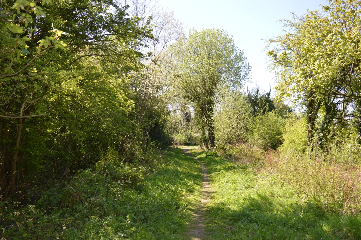
Uxbridge Alderglade
Wildlife reserves · 0.8 km

Bridge To Entrance Court At Denham Court
Historic bridges · 1.0 km

Denham Country Park
Forests & woodlands · 1.0 km

Odeon Uxbridge, Harefield Road
Theatres · 1.1 km

Vyners School
Natural landmarks · 1.2 km

Denham Giant Car Boot
Farmers’ markets · 1.2 km

Dog And Duck Public House
Historic pubs · 1.3 km
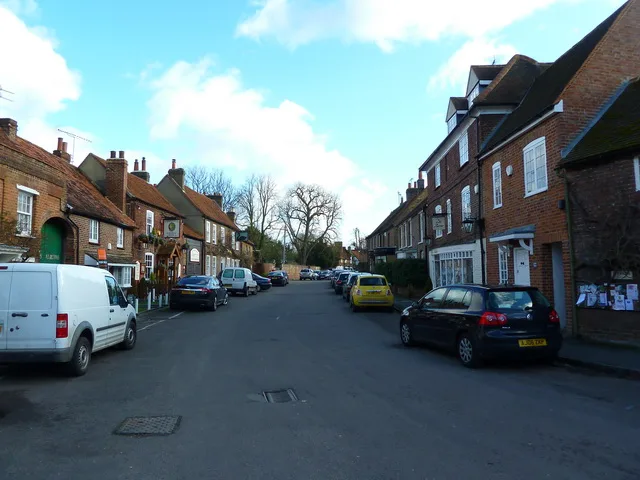
Denham
Towns & cities · 1.5 km
Nearby
📷 5Forests & woodlands · London
Denham Lock Wood
Denham Lock Wood is a forest or woodland in the United Kingdom.
📷 5📷 5Historic churches · London
Anoopam Mission
Anoopam Mission — a church in england-london, United Kingdom.
📷 5Forests & woodlands · London
Uxbridge Alderglade
Uxbridge Alderglade is a forest or woodland in the United Kingdom.
📷 5Wildlife reserves · London
Uxbridge Alderglade
Uxbridge Alderglade is a wildlife reserve in the United Kingdom.
📷 5Historic bridges · London
Bridge To Entrance Court At Denham Court
Bridge To Entrance Court At Denham Court — Grade II listed building-listed bridge in england-london, United Kingdom.
Where to eat & stay near Frays Farm Meadows
Places to stay
 📷 5
📷 5 📷 5
📷 5 📷 5
📷 5 📷 5
📷 5Caravan parks · London
Wyatt's Covert Caravan Site
Wyatt's Covert Caravan Site — a caravan park in england london.
 📷 5
📷 5 📷 5
📷 5Campsites · East of England
Paccar Scout Camp
Paccar Scout Camp — a campsite in england west midlands.
Places to eat & drink
📷 7Historic pubs · London
Dog And Duck Public House
Dog And Duck Public House in England London, United Kingdom.
 📷 5
📷 5Historic pubs · London
Crown and Treaty
Crown and Treaty in England London, United Kingdom.
 📷 7
📷 7 📷 5
📷 5 📷 5
📷 5 📷 5
📷 5Restaurants · London
The Green Man
The Green Man — a restaurant in england london.
More forests in this region
 📷 5
📷 5Forests & woodlands · London
Ackroyd Drive Green Link
Ackroyd Drive Green Link is a forest or woodland in the United Kingdom.
 📷 5
📷 5Forests & woodlands · London
Adelaide Nature Reserve
Adelaide Nature Reserve is a forest or woodland in the United Kingdom.
 📷 5
📷 5Forests & woodlands · London
Angel's Wings
Angel's Wings — Public artwork by Thomas Heatherwick.
 📷 5
📷 5Forests & woodlands · London
Arthur Jacob Nature Reserve
Arthur Jacob Nature Reserve is a forest or woodland in the United Kingdom.
Frequently asked questions
- Where is Frays Farm Meadows?
- Frays Farm Meadows is in London, United Kingdom (postcode UB10 8DZ), in the parish of Hillingdon, unparished area.
- What is Frays Farm Meadows?
- Frays Farm Meadows is a forest or woodland in the United Kingdom.
- How do I get to Frays Farm Meadows?
- The nearest railway station is Uxbridge, about 1.9 km away. Drivers can use postcode UB10 8DZ.
- Is Frays Farm Meadows a protected site?
- Yes — Frays Farm Meadows is part of the Fray's Farm Meadows SSSI Site of Special Scientific Interest and the Chilterns National Landscape (AONB).
- Is Frays Farm Meadows free to visit?
- Yes, Frays Farm Meadows is free to enter.
- How do I get to Frays Farm Meadows?
- The nearest railway station is Uxbridge, about 1.9 km away. Drivers can navigate to postcode UB10 8DZ.