
Archaeological sites · South West England
Frank's Wood
In or near Box.
Frank's Wood — Wiltshire, England woodland, near the village of Colerne.

Mr Red — CC BY-SA 2.0 via Wikimedia Commons licence

Plan your visit
- Typical visit
- 45 min–1.5 h
- Nearest railway station
- Bath Spa · 9.8 km
- Free entry
- Dog-friendly
Getting there & planning your visit
To visit Frank's Wood, the nearest railway station is Bath Spa, located 9.8 km away. The postcode for navigation is SN14 8AX, and entry is free.
About
Frank's Wood is an archaeological site in the United Kingdom. Wikidata describes it as: "Wiltshire, England woodland, near the village of Colerne". Coordinates: 51.4400°, -2.2560°.
Photo gallery
Protected designations
- Area of Outstanding Natural Beauty: Cotswolds
Designations sourced from Natural England open data under OGL v3.
From the Wikipedia article
Frank's Wood is a woodland in Wiltshire, England, on the north-east edge of Colerne village. It covers an area of 1.96 hectares (4.84 acres). It is owned and managed by the Woodland Trust. Formerly arable land, the wood was created in 2000 under the Woodland Trust's "Woods on Your Doorstep" scheme, and named in honour of Frank Entwistle of Colerne, one of the instigators of the project. It is planted with mixed native broadleaf trees and some woody shrubs.
Excerpt from Wikipedia under CC BY-SA 4.0. See the source article linked in Sources below.
- Coordinates
- 51.4400, -2.2560
- District
- Wiltshire
- Parish
- Colerne
- Postcode
- SN14 8AX
- Parliamentary constituency
- Melksham and Devizes
- Nearest railway station
- Bath Spa — 9.8 km
Sources
- wikidata: Q5484812 (CC0)
- wikipedia: Frank's Wood (CC BY-SA 4.0)
Other places nearby

Colerne War Memorial
Memorials & monuments · 0.3 km

Colerne
Villages · 0.5 km

The Fox And Hounds Public House
Historic pubs · 0.6 km

Colton Monument In Churchyard About 6 Metres North Of Chancel, North East Angle Of Church Of St Christopher
Memorials & monuments · 1.8 km

Church of St Christopher
Historic churches · 1.8 km
Wilton Monument In Churchyard About 6 Metres South East Of Chancel, South East Angle Of Church Of St Christopher
Memorials & monuments · 1.8 km
Tugwell Monument In Churchyard About 6 Metres South Of South West Angle Of Porch Of Church Of St Christopher
Memorials & monuments · 1.8 km
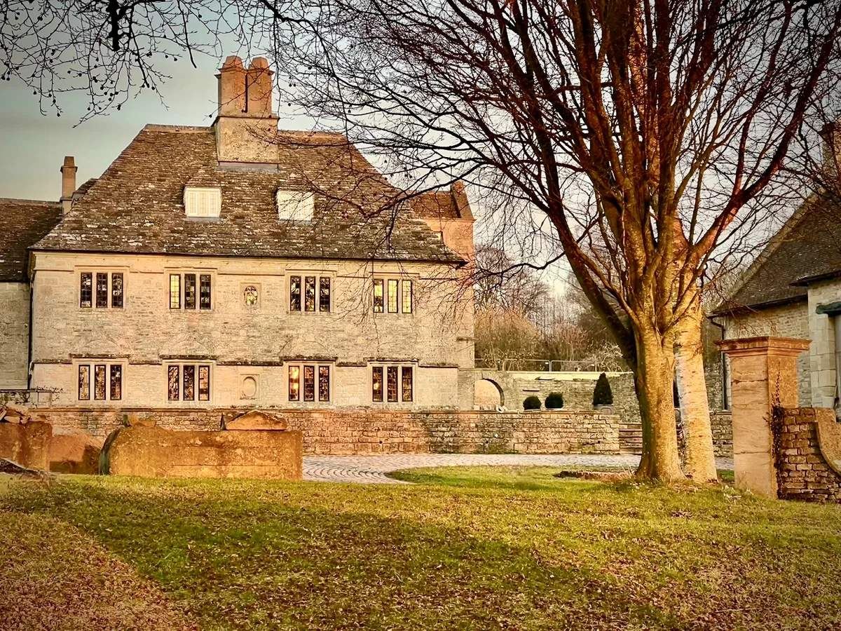
Rudloe Manor
Stately homes · 2.0 km

A celebration of stone quarrying in Box
Memorials & monuments · 2.3 km

BackDoor
Natural landmarks · 2.3 km
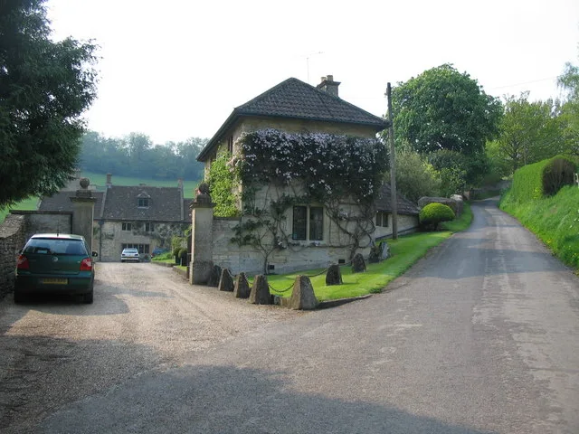
Alcombe Manor
Stately homes · 2.3 km

Box Hill
Mountains & hills · 2.5 km
Nearby
📷 5Memorials & monuments · South West England
Colerne War Memorial
Colerne War Memorial — Grade II listed building-listed memorial in england-south-east, United Kingdom.
📷 5📷 5Historic pubs · South West England
The Fox And Hounds Public House
The Fox And Hounds Public House in England South West, United Kingdom.
📷 5Memorials & monuments · South West England
Colton Monument In Churchyard About 6 Metres North Of Chancel, North East Angle Of Church Of St Christopher
Colton Monument In Churchyard About 6 Metres North Of Chancel, North East Angle Of Church Of St Christopher — Grade II listed building-listed memorial in england-south-east, United Kingdom.
📷 5Historic churches · South West England
Church of St Christopher
Church of St Christopher — Grade I listed church in Ditteridge, Wiltshire, England, UK.
📷 5Memorials & monuments · South West England
Wilton Monument In Churchyard About 6 Metres South East Of Chancel, South East Angle Of Church Of St Christopher
Wilton Monument In Churchyard About 6 Metres South East Of Chancel, South East Angle Of Church Of St Christopher — Grade II listed building-listed memorial in england-south-east, United Kingdom.
Where to eat & stay near Frank's Wood
Places to stay
 📷 7
📷 7Hotels · South West England
Methuen Arms
Methuen Arms — a hotel in england south east.
 📷 5
📷 5Campsites · South West England
The Blackberries Camping Park
The Blackberries Camping Park — a campsite in england south east.
 📷 6
📷 6B&Bs · South West England
Dolphin House
Dolphin House — a bed-and-breakfast in england south east.
 📷 7
📷 7 📷 4
📷 4Caravan parks · South West England
Orchard Farm
Orchard Farm — a caravan park in england south east.
 📷 5
📷 5Hotels · South West England
Bailbrook House Hotel
Bailbrook House Hotel — a hotel in england south east.
Places to eat & drink
📷 5Historic pubs · South West England
The Fox And Hounds Public House
The Fox And Hounds Public House in England South West, United Kingdom.
 📷 5
📷 5Historic pubs · South West England
The Hare And Hounds
The Hare And Hounds in England South West, United Kingdom.
 📷 7
📷 7Historic pubs · South West England
The Cross Keys Inn
The Cross Keys Inn in England South West, United Kingdom.
 📷 5
📷 5Historic pubs · South West England
The Crown And 2 Rear Wings And Outbuilding To Rear
The Crown And 2 Rear Wings And Outbuilding To Rear in England South West, United Kingdom.
 📷 7
📷 7Historic pubs · South West England
The Inn And Public House
The Inn And Public House in England South West, United Kingdom.
 📷 7
📷 7Restaurants · South West England
The Bathampton Mill
The Bathampton Mill — a restaurant in england south east.
More archaeological sites in this region
 📷 5
📷 5Archaeological sites · South West England
Battlesbury Camp Monuments: hillfort, settlement, cemetery, barrows, enclosure, and field systems
Battlesbury Camp Monuments: hillfort, settlement, cemetery, barrows, enclosure, and field systems — archaeological site in Warminster, Wiltshire, England, UK.
 📷 5
📷 5Archaeological sites · South West England
Blandford Forest
Blandford Forest — forest in Blandford Forum, England.
 📷 5
📷 5Archaeological sites · South West England
Boulsbury Wood
Boulsbury Wood — protected area in Dorset and Hampshire, England.
.jpg?width=1200) 📷 5
📷 5Archaeological sites · South West England
Cranborne Chase
Cranborne Chase — Plateau in southern England.
Frequently asked questions
- Where is Frank's Wood?
- Frank's Wood is in South-West England, United Kingdom (postcode SN14 8AX), in the parish of Colerne.
- What is Frank's Wood?
- Frank's Wood — Wiltshire, England woodland, near the village of Colerne.
- How do I get to Frank's Wood?
- The nearest railway station is Bath Spa, about 9.8 km away. The nearest town is Box. Drivers can use postcode SN14 8AX.
- Who owns Frank's Wood?
- Frank's Wood is owned by Woodland Trust.
- Is Frank's Wood a protected site?
- Yes — Frank's Wood is part of the Cotswolds National Landscape (AONB).
- Is Frank's Wood free to visit?
- Yes, Frank's Wood is free to enter.
- How do I get to Frank's Wood?
- Drivers can navigate to postcode SN14 8AX. It sits within the Melksham and Devizes parliamentary constituency.