
Parks · North East England
Four Lane Ends
In or near Benton.
Four Lane Ends in England North East, United Kingdom.

Dr Neil Clifton — CC BY-SA 2.0 via Wikimedia Commons licence

Plan your visit
- Typical visit
- 1 h–2 h
- Nearest railway station
- Four Lane Ends · 0.0 km
- Free entry
- Family-friendly
- Dog-friendly
- Wheelchair accessible
Getting there & planning your visit
You can visit Four Lane Ends park, located in North Tyneside, postcode NE7 7UJ. The nearest railway station is Four Lane Ends, which is 0 km away. Entry is free, and the park is wheelchair accessible.
About
Four Lane Ends is a place of interest in England North East, United Kingdom — drawn from open-data sources for visitor reference. See the linked Wikipedia article for the full description.
Photo gallery
See it from the streetimagery from 2022
Imagery © Mapillary contributors, CC BY-SA 4.0
Protected designations
- Site of Special Scientific Interest: Northumberland Shore SSSI
Designations sourced from Natural England open data under OGL v3.
From the Wikipedia article
The Four Lane Ends Interchange is a multimodal transport hub in the borough of North Tyneside in the English metropolitan county of Tyne and Wear. It includes a station on the Tyne and Wear Metro, a bus station and a multi-storey car park. The metro station opened on 11 August 1980, but it is situated on the site of a previous station that opened in 1864, closed in 1871, and was variously called Benton, Long Benton and Longbenton. The interchange serves the suburbs of Benton and Longbenton. Nearby employment sites include Benton Park View to the west, Tyneview Park to the south east, and Quorum Business Park to the north.
Excerpt from Wikipedia under CC BY-SA 4.0. See the source article linked in Sources below.
Background
History
The original Blyth and Tyne Railway station at this site opened on 26 June 1864, with the opening of the line, but closed on 1 March 1871, with the opening of the new station that became Benton Metro station. It is referred to as Long Benton in its owner's timetables, as Longbenton on their map, and as Benton in Bradshaw's Guide. The last remains of this station disappeared during the construction of the metro station. It should not be confused with the much later station, on a different site, that became Longbenton Metro station. The current station opened on 11 August 1980 with the opening of the first phase of the metro, between Haymarket and Tynemouth. The station is located at the…
Sourced from Wikipedia under CC BY-SA 4.0.
- Coordinates
- 55.0100, -1.5785
- District
- North Tyneside
- Parish
- North Tyneside, unparished area
- Postcode
- NE7 7UJ
- Parliamentary constituency
- Newcastle upon Tyne North
- Established
- 1980
- Nearest railway station
- Four Lane Ends — 0 km
- Official site
- www.whatdotheyknow.com
Sources
- wikidata: Q5475273 (CC0)
- wikipedia: Four Lane Ends Interchange (CC BY-SA 4.0)
Other places nearby

Royal Artillery War Memorial 1939-1945
Memorials & monuments · 0.6 km

2011
Memorials & monuments · 0.7 km
Benton
Towns & cities · 0.7 km
Tyneview Park
Parks · 0.7 km

Benton Park View
Parks · 0.7 km

Team Northumbria F.C.
Stadiums · 0.8 km

1914-18 War Memorial In St Bartholomew's Churchyard, Longbenton
Memorials & monuments · 0.8 km
Benton Cemetery
Cemeteries · 0.8 km
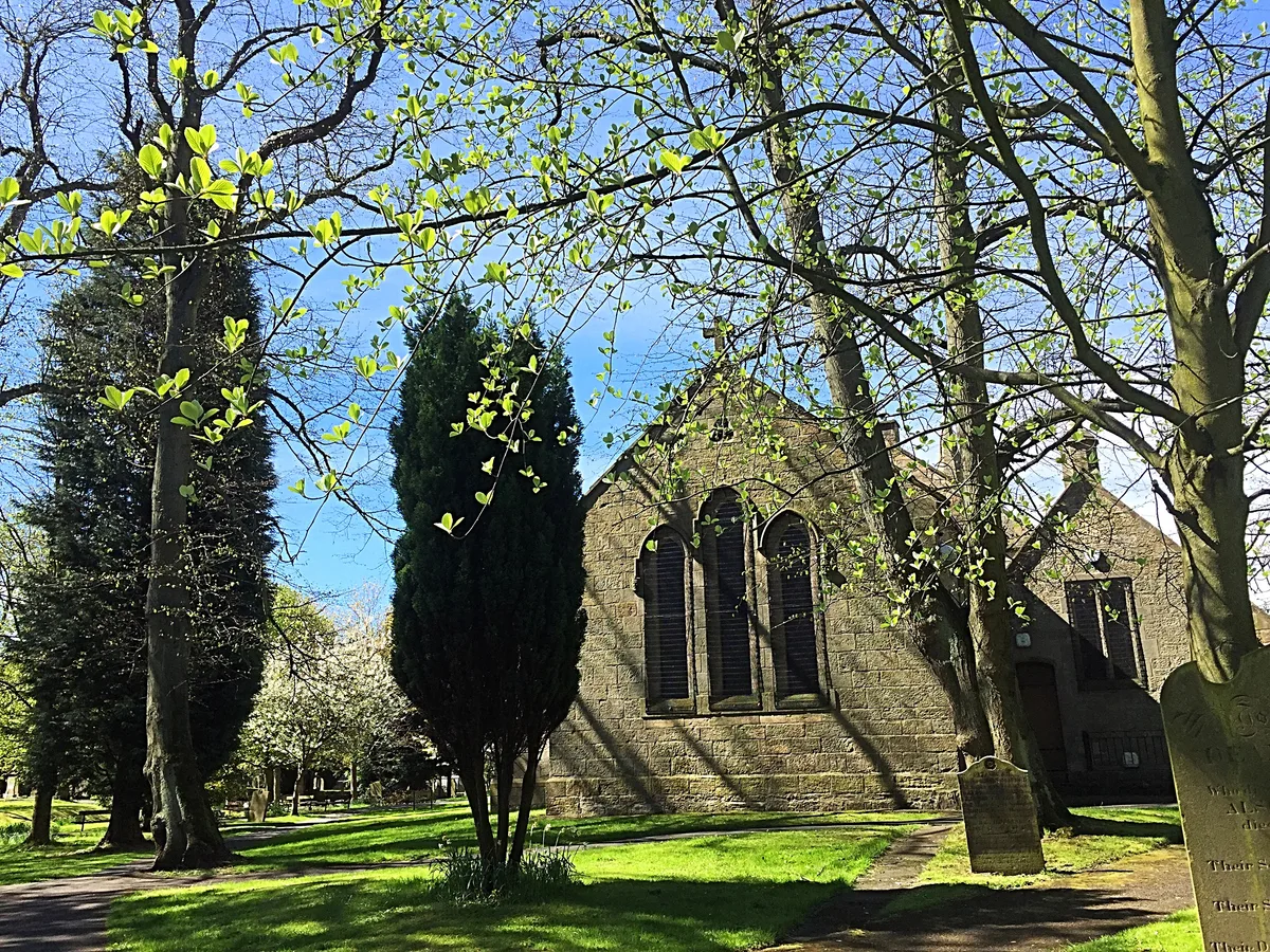
St Bartholomew's Church, Long Benton
Historic churches · 0.9 km

West Allotment Celtic F.C.
Parks · 0.9 km
Longbenton Community College
Other places · 1.0 km

Longbenton
Villages · 1.0 km
Nearby
📷 3Memorials & monuments · North East England
Royal Artillery War Memorial 1939-1945
Royal Artillery War Memorial 1939-1945 — a memorial in scotland-lowlands, United Kingdom.
📷 3Memorials & monuments · North East England
2011
2011 — a memorial in scotland-lowlands, United Kingdom.
📷 4📷 4📷 4Parks · North East England
Benton Park View
Benton Park View in England North East, United Kingdom.
📷 3Stadiums · North East England
Team Northumbria F.C.
Team Northumbria F.C. in England North East, United Kingdom.
Where to eat & stay near Four Lane Ends
Places to stay
 📷 5
📷 5Hostels · North East England
North Eastern YWCA Hostel
North Eastern YWCA Hostel — a hostel in scotland lowlands.
 📷 5
📷 5 📷 5
📷 5Hotels · North East England
Hotel du Vin
Hotel du Vin — a hotel in scotland lowlands.

Hostels · North East England
Kabannas Newcastle
Kabannas Newcastle — a hostel in scotland lowlands.
 📷 5
📷 5Hotels · North East England
Grey Street Hotel
Grey Street Hotel — a hotel in scotland lowlands.
 📷 5
📷 5Hotels · North East England
Exchange Buildings
Exchange Buildings — a hotel in scotland lowlands.
Places to eat & drink
 📷 5
📷 5Historic pubs · North East England
Border Minstrel
Border Minstrel in Scotland Lowlands, United Kingdom.
 📷 5
📷 5Historic pubs · North East England
The Cluny
The Cluny in England North East, United Kingdom.
 📷 3
📷 3Historic pubs · North East England
Red House Farm
Red House Farm in England North East, United Kingdom.
 📷 5
📷 5Historic pubs · North East England
Theatre Royal Lounge And Restaurant; The Royal Public House
Theatre Royal Lounge And Restaurant; The Royal Public House in Scotland Lowlands, United Kingdom.
 📷 5
📷 5Historic pubs · North East England
The Cordwainers' Public House
The Cordwainers' Public House in Scotland Lowlands, United Kingdom.
 📷 3
📷 3Historic pubs · North East England
The Crown Posada
Newcastle's Quayside Victorian pub, with William Morris stained glass.
More parks in this region
 📷 3
📷 3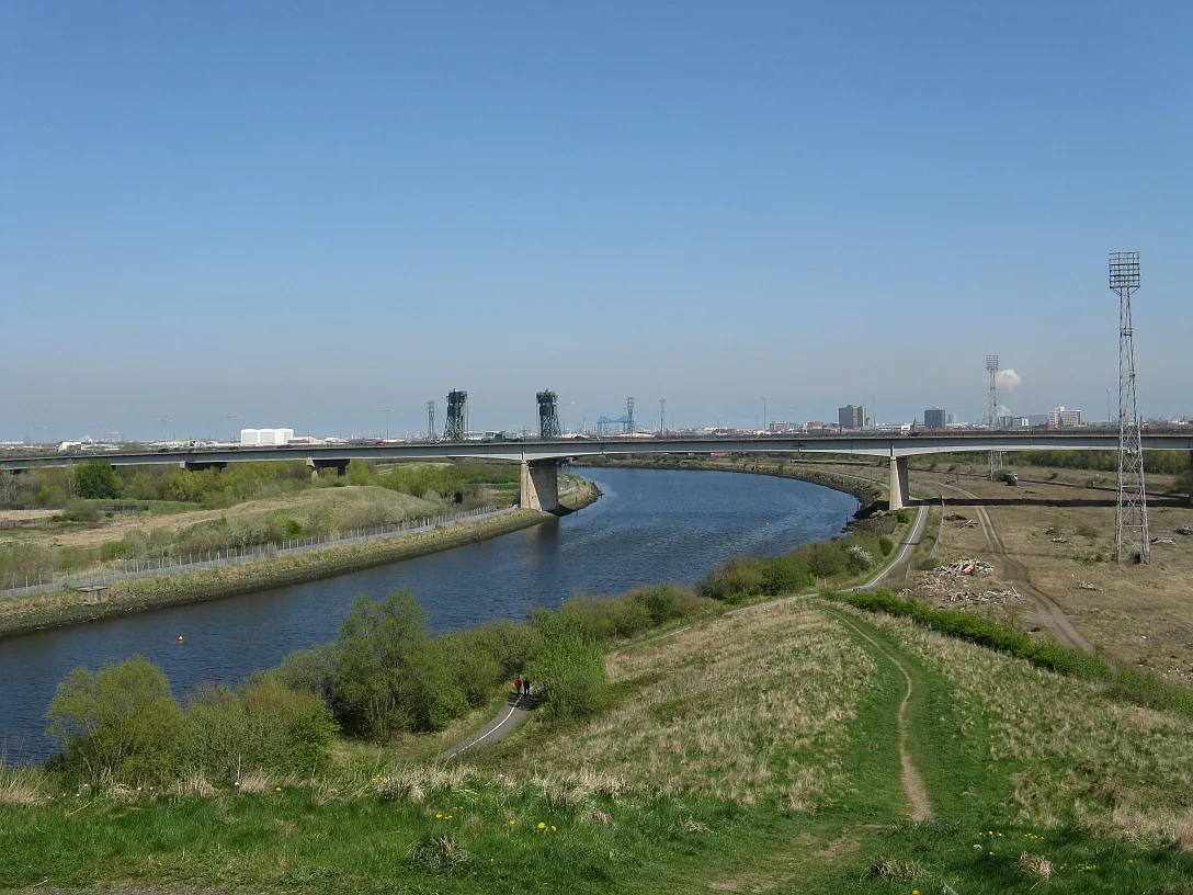 📷 4
📷 4Parks · North East England
Maze Park Nature Reserve
Maze Park Nature Reserve — park in Middlesbrough, United Kingdom.
 📷 3
📷 3Parks · North East England
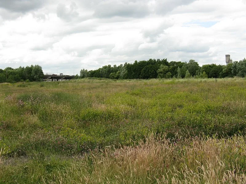
Portrack Incinerator
Portrack Incinerator — former waste and power plant in England.
 📷 3
📷 3Parks · North East England
Preston Park, Stockton-on-Tees
Preston Park, Stockton-on-Tees — public park in north eastern England.
Frequently asked questions
- Where is Four Lane Ends?
- Four Lane Ends is in North-East England, United Kingdom (postcode NE7 7UJ), in the parish of North Tyneside, unparished area.
- What is Four Lane Ends?
- Four Lane Ends in England North East, United Kingdom.
- How do I get to Four Lane Ends?
- The nearest railway station is Four Lane Ends, about 0.0 km away. Drivers can use postcode NE7 7UJ.
- When was Four Lane Ends built?
- Built or established in 1980.
- Who owns Four Lane Ends?
- Four Lane Ends is owned by Nexus.
- Is Four Lane Ends a protected site?
- Yes — Four Lane Ends is part of the Northumberland Shore SSSI Site of Special Scientific Interest.
- Is Four Lane Ends free to visit?
- Yes, Four Lane Ends is free to enter.
- How do I get to Four Lane Ends?
- The nearest railway station is Four Lane Ends, about 0.0 km away. Drivers can navigate to postcode NE7 7UJ.