
Forts · South East England
Fort Cumberland
In or near Portsmouth.
Fort Cumberland is a fort in the United Kingdom.

Wikimedia Commons contributors — see linked file page for photographer and licence licence

Plan your visit
- Typical visit
- 45 min–1.5 h
- Nearest railway station
- Fratton · 2.9 km
Getting there & planning your visit
To visit Fort Cumberland, the nearest railway station is Fratton, located 2.9 km away. The postcode for sat-nav is PO4 9LD. Entry details are not specified.
About
Fort Cumberland is a historic fort or fortified site in the United Kingdom. Coordinates: 50.7888°, -1.0340°. This entry is part of The Great Britain Guide, a free, ad-free, open-data tourist directory.
Photo gallery
Protected designations
- Site of Special Scientific Interest: Langstone Harbour SSSI
- Ramsar wetland: Chichester and Langstone Harbours
Designations sourced from Natural England open data under OGL v3.
From the Wikipedia article
Fort Cumberland is a pentagonal artillery fortification erected to guard the entrance to Langstone Harbour, east of the Dockyard of Portsmouth on the south coast of England. It was sited to protect the Royal Navy Dockyard, by preventing enemy forces from landing in Langstone Harbour and attacking from the landward side. Fort Cumberland is widely recognised as the finest example of a bastion trace fort in England. It is a scheduled monument and a Grade II* listed building
Excerpt from Wikipedia under CC BY-SA 4.0. See the source article linked in Sources below.
Background
Description
The first fort on the site was built by the Duke of Cumberland. Although there did previously exist an earthwork battery on the site, built in 1714. Work on Cumberland's fort commenced on 1 January 1747 and was substantially complete by the end of 1748. The fort had an irregular star shaped form, and was of earthwork construction. In section, the defences comprised a glacis, banquette and covered way, a dry ditch, berm, rampart, parapet and terre-plein. Within the body of the fort, a number of brick buildings were constructed, comprising a guardhouse, storeroom and powder magazine; of the two proposed barrack blocks, only one is believed to have been completed.
Sourced from Wikipedia under CC BY-SA 4.0.
- Coordinates
- 50.7888, -1.0340
- District
- Portsmouth
- Parish
- Portsmouth, unparished area
- Postcode
- PO4 9LD
- Parliamentary constituency
- Portsmouth South
- Established
- 1785
- Nearest railway station
- Fratton — 2.9 km
- Official site
- www.eastneybeach.org.uk
Sources
- osm: w1062175191 (ODbL)
- wikipedia: Fort Cumberland (England) (CC BY-SA 4.0)
- commons: Inside Fort Cumberland - geograph.org.uk - 411752.jpg (CC BY-SA 4.0)
Other places nearby

Eastney Beach
Beaches · 0.2 km

Southsea nudist beach
Beaches · 0.4 km

Southsea Leisure Park
Caravan parks · 0.5 km

West Winner
Beaches · 0.6 km
.jpg?width=1200)
Milton Locks
Wildlife reserves · 0.7 km
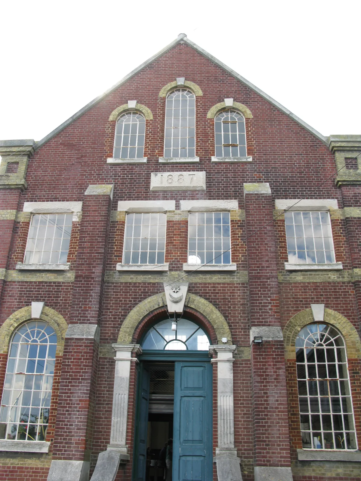
Eastney Beam Engine House
Museums · 0.8 km

Footpath Along the Beach
Viewpoints · 0.8 km

Eastney Gas Engine House
Museums · 0.9 km
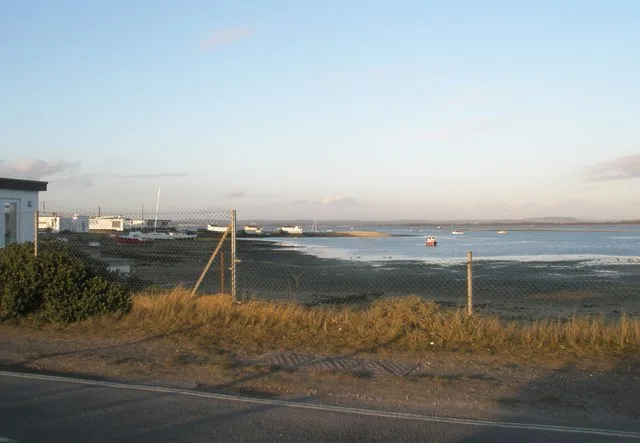
The Kench, Hayling Island
Wildlife reserves · 1.1 km

Eastney Battery East
Forts · 1.3 km

St. James Playground
Historic churches · 1.3 km

Bransbury Park Steam Railway
Heritage railways · 1.3 km
Nearby
📷 5Beaches · South East England
Eastney Beach
Eastney Beach — Beach (pebblestone).
📷 5Beaches · South East England
Southsea nudist beach
Southsea nudist beach is a beach in the United Kingdom.
📷 5Caravan parks · South East England
Southsea Leisure Park
Southsea Leisure Park — a caravan park in england south east.
📷 5Beaches · South East England
West Winner
West Winner — Beach (pebblestone).
📷 5Wildlife reserves · South East England
Milton Locks
Milton Locks is a wildlife reserve in the United Kingdom.
📷 5Museums · South East England
Eastney Beam Engine House
Eastney Beam Engine House — Grade II listed building in Portsmouth, UK.
Where to eat & stay near Fort Cumberland
Places to stay
📷 5Caravan parks · South East England
Southsea Leisure Park
Southsea Leisure Park — a caravan park in england south east.
 📷 5
📷 5Caravan parks · South East England
Hayling Island Holiday Park
Hayling Island Holiday Park — a caravan park in england south east.
📷 5Campsites · South East England
The Oven Campsite
The Oven Campsite — a campsite in england south east.
 📷 7
📷 7Hotels · South East England
The Queens Hotel
The Queens Hotel — a hotel in england south east.
 📷 5
📷 5Caravan parks · South East England
Mill Rythe Creek
Mill Rythe Creek — a caravan park in england south east.
 📷 5
📷 5Places to eat & drink
 📷 5
📷 5Historic pubs · South East England
The Gravediggers Public House
The Gravediggers Public House in England South East, United Kingdom.
 📷 7
📷 7Historic pubs · South East England
The Shades Public House
The Shades Public House in England South East, United Kingdom.
 📷 5
📷 5Historic pubs · South East England
King Street Tavern
King Street Tavern in England South East, United Kingdom.
 📷 5
📷 5 📷 5
📷 5Historic pubs · South East England
Yorkshire Grey Public House
Yorkshire Grey Public House in England South East, United Kingdom.
 📷 5
📷 5Restaurants · South East England
Leliamezze
Leliamezze — a restaurant in england south east.
More forts in this region
 📷 5
📷 5 📷 5
📷 5 📷 5
📷 5Forts · South East England
Darnet Fort
Darnet Fort is a fort in the United Kingdom.
 📷 5
📷 5Forts · South East England
Fort Amherst
Fort Amherst is a fort in the United Kingdom.
Frequently asked questions
- Where is Fort Cumberland?
- Fort Cumberland is in South-East England, United Kingdom (postcode PO4 9LD), in the parish of Portsmouth, unparished area.
- What is Fort Cumberland?
- Fort Cumberland is a fort in the United Kingdom.
- How do I get to Fort Cumberland?
- The nearest railway station is Fratton, about 2.9 km away. Drivers can use postcode PO4 9LD.
- When was Fort Cumberland built?
- Built or established in 1785.
- Who owns Fort Cumberland?
- Fort Cumberland is owned by English Heritage.
- Is Fort Cumberland a protected site?
- Yes — Fort Cumberland is part of the Langstone Harbour SSSI Site of Special Scientific Interest and the Chichester and Langstone Harbours Ramsar wetland.
- How do I get to Fort Cumberland?
- The nearest railway station is Fratton, about 2.9 km away. Drivers can navigate to postcode PO4 9LD.