
Windmills · East Midlands
Former Windmill In Yard To Rear Of No 43
In or near Ruskington.
Former Windmill In Yard To Rear Of No 43 — Grade II listed building-listed windmill in england-east-midlands, United Kingdom.

Bob Harvey — CC BY-SA 2.0 via Wikimedia Commons licence

Plan your visit
- Typical visit
- 30 min–1 h
- Nearest railway station
- Sleaford · 0.3 km
- Free entry
- Family-friendly
- Dog-friendly
Getting there & planning your visit
The Former Windmill In Yard To Rear Of No 43 is located in North Kesteven, Lincolnshire, with the postcode NG34 7TW. The nearest railway station is Sleaford, which is 0.3 km away. Entry to the site is free.
About
Former Windmill In Yard To Rear Of No 43 is a Grade II listed building-listed windmill in england-east-midlands, United Kingdom, registered on the National Heritage List for England (NHLE entry 1360432). Listed status protects buildings and structures of special architectural or historic interest. See the linked Wikipedia article for further details.
Photo gallery
Heritage listing
Details 1. 5312 SOUTHGATE (East Side) ----------- Former windmill in yard to rear of No 43 TF 0645 1/140 II 2.Early-mid Cl9. Tower mill without cap or sails, in red brick with diagonal red brick eaves cornice to top. Listing NGR: TF0689545687 Legacy The contents of this record have been generated from a legacy data system. Legacy System number: 191851 Legacy System: LBS
From the Historic England List Entry under OGL v3.
Place summary
The Former Windmill in the yard to the rear of No 43 is located in Sleaford, Lincolnshire, in the East Midlands. This Grade II listed building is notable for its historical significance and architectural merit.
AI-generated from the structured facts on this page (operator, designation, listing, era). Not a substitute for visiting.
- Coordinates
- 52.9978, -0.4087
- County
- Lincolnshire
- District
- North Kesteven
- Parish
- Sleaford
- Postcode
- NG34 7TW
- Parliamentary constituency
- Sleaford and North Hykeham
- Nearest railway station
- Sleaford — 0.3 km
Sources
- wikidata: Q26642531 (CC0)
Other places nearby
Money's Mill
Natural landmarks · 0.0 km

The Ivy
Historic pubs · 0.1 km
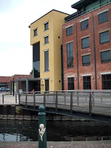
Q7753156
Galleries · 0.1 km

Handley's Monument
Memorials & monuments · 0.1 km

The Hub
Museums · 0.1 km
Handley Memorial
Public art & sculpture · 0.1 km

Sleaford Museum
Museums · 0.2 km

Sleaford Islamic Centre
Historic churches · 0.2 km

Sleaford, Quarrington and Holdingham War Memorial
Public art & sculpture · 0.2 km

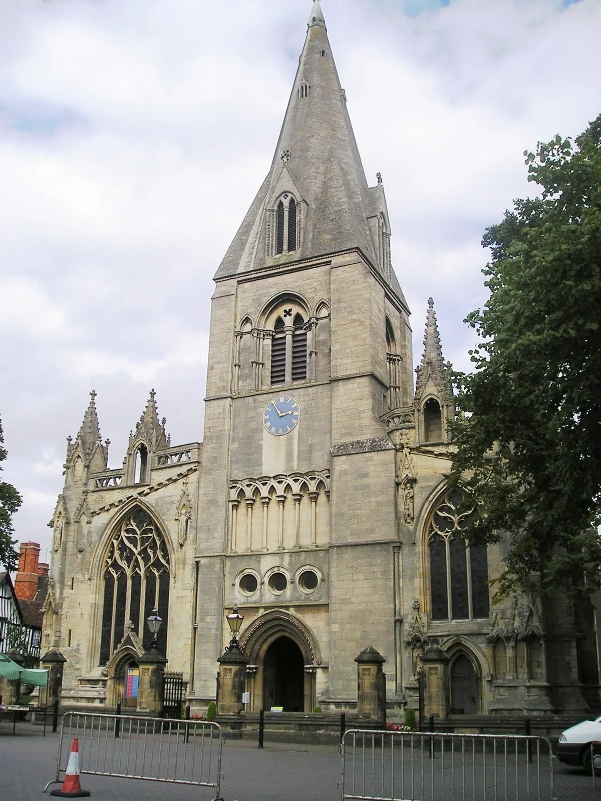
St Denys' Church, Sleaford
Cathedrals · 0.2 km
St Denys' Church, Sleaford
Abbeys & priories · 0.2 km

Q41782060
Theatres · 0.2 km
Nearby
📷 3Natural landmarks · East Midlands
Money's Mill
Money's Mill — a other in england-east-midlands, United Kingdom.
📷 7📷 3Galleries · East Midlands
Q7753156
Q7753156 — gallery and arts venue in Lincolnshire, England.
📷 3Memorials & monuments · East Midlands
Handley's Monument
Handley's Monument — a memorial in england-east-midlands, United Kingdom.
📷 3📷 3Public art & sculpture · East Midlands
Handley Memorial
Handley Memorial in England East, United Kingdom.
Where to eat & stay near Former Windmill In Yard To Rear Of No 43
Places to stay
 📷 5
📷 5Campsites · East Midlands
Woodland Waters
Woodland Waters — a campsite in england east midlands.
Caravan parks · East Midlands
Royal Oak Mobile Home Park
Royal Oak Mobile Home Park — a caravan park in england east midlands.
 📷 5
📷 5Campsites · East Midlands
Riverview Caravan Park
Riverview Caravan Park — a campsite in england east midlands.
 📷 5
📷 5 📷 3
📷 3Campsites · East Midlands
Bailey Bridge Farm
Bailey Bridge Farm — a campsite in england east midlands.
 📷 5
📷 5Caravan parks · East Midlands
Wagtail Country Park
Wagtail Country Park — a caravan park in england east midlands.
Places to eat & drink
📷 7 📷 7
📷 7 📷 7
📷 7Historic pubs · East Midlands
The Marquis Of Granby Public House And Attached Outbuildings
The Marquis Of Granby Public House And Attached Outbuildings in England East, United Kingdom.
 📷 5
📷 5 📷 5
📷 5Historic pubs · East Midlands
Nag's Head Public House
Nag's Head Public House in England East, United Kingdom.
 📷 5
📷 5Historic pubs · East Midlands
Houblon Arms Public House
Houblon Arms Public House in England East, United Kingdom.
More windmills in this region
 📷 5
📷 5 📷 5
📷 5Windmills · East Midlands
Mill House East Of Barnack Windmill
Mill House East Of Barnack Windmill — Grade II listed building-listed windmill in england-london, United Kingdom.
 📷 5
📷 5Windmills · East Midlands
Barnack Windmill
Barnack Windmill — Grade II listed building-listed windmill in england-london, United Kingdom.
 📷 3
📷 3Frequently asked questions
- Where is Former Windmill In Yard To Rear Of No 43?
- Former Windmill In Yard To Rear Of No 43 is in Lincolnshire, the East Midlands, United Kingdom (postcode NG34 7TW), in the parish of Sleaford.
- What is Former Windmill In Yard To Rear Of No 43?
- Former Windmill In Yard To Rear Of No 43 — Grade II listed building-listed windmill in england-east-midlands, United Kingdom.
- How do I get to Former Windmill In Yard To Rear Of No 43?
- The nearest railway station is Sleaford, about 0.3 km away. The nearest town is Ruskington. Drivers can use postcode NG34 7TW.
- Is Former Windmill In Yard To Rear Of No 43 a listed building?
- Former Windmill In Yard To Rear Of No 43 is officially recognised as Grade II listed building listed.
- Is Former Windmill In Yard To Rear Of No 43 free to visit?
- Yes, Former Windmill In Yard To Rear Of No 43 is free to enter.
- How do I get to Former Windmill In Yard To Rear Of No 43?
- The nearest railway station is Sleaford, about 0.3 km away. Drivers can navigate to postcode NG34 7TW.